
- Kort beskrivelse
-
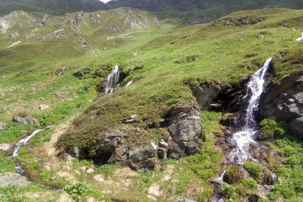
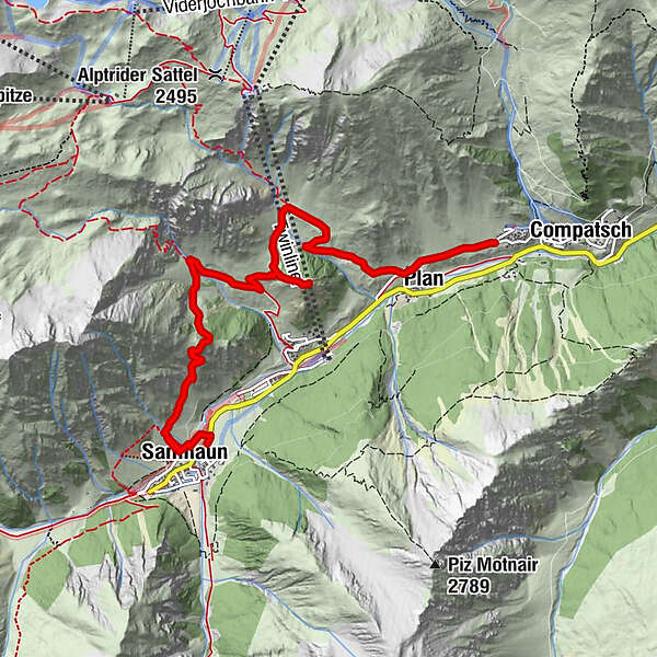
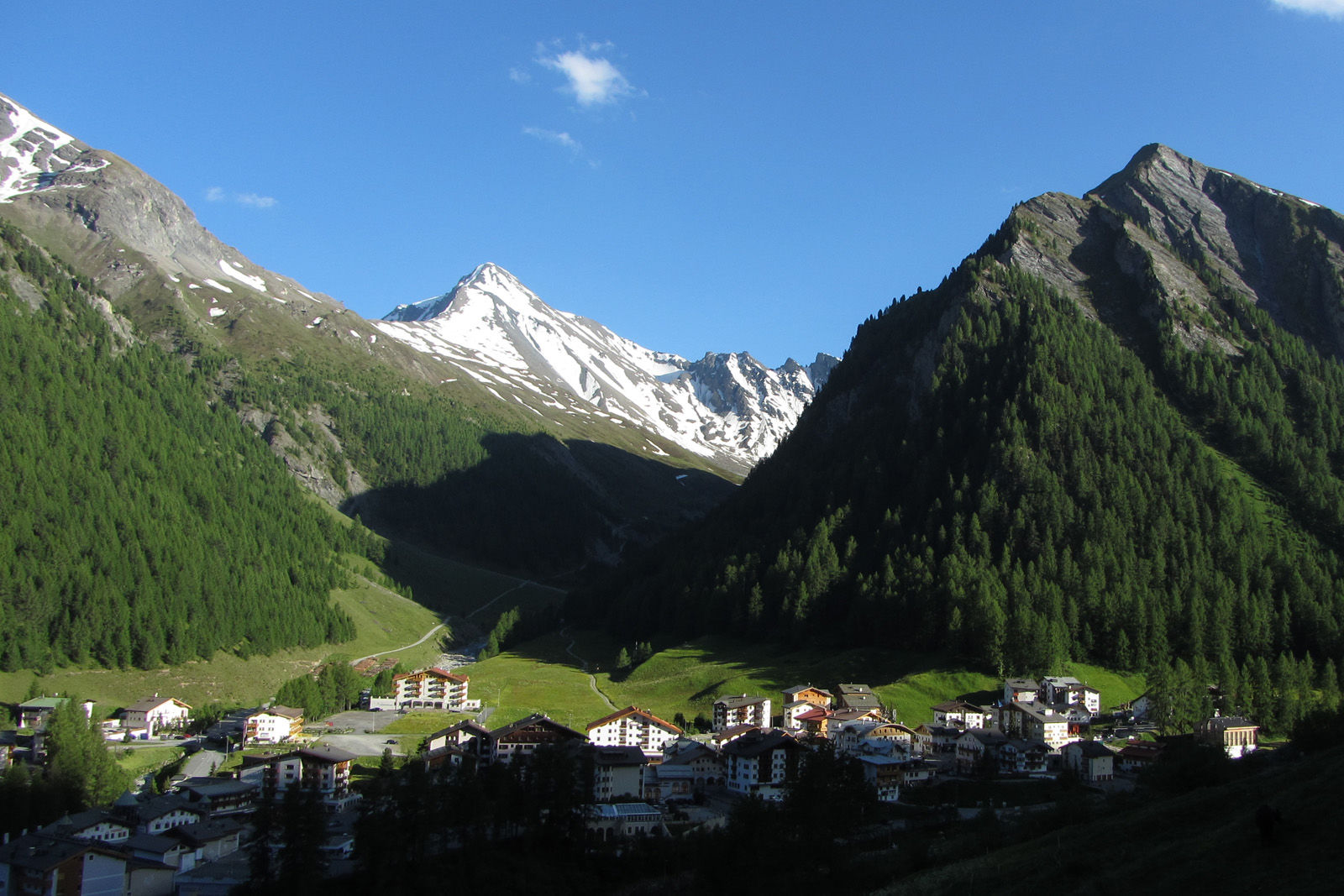
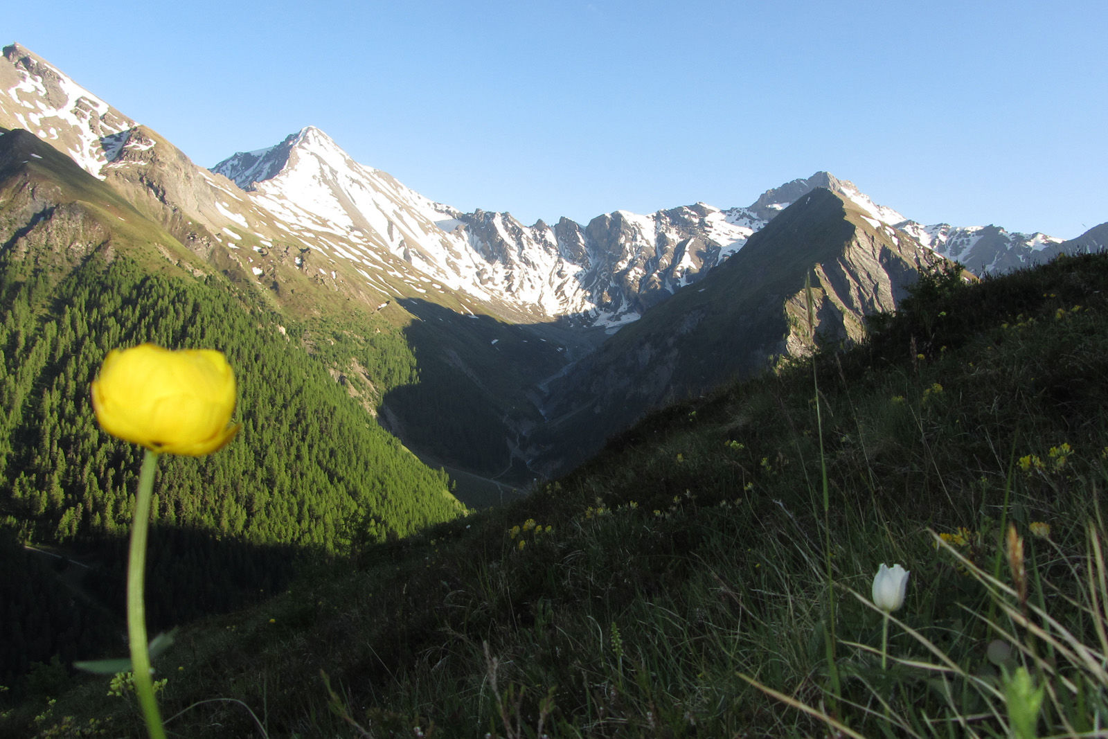
High altitude hike on the sunny side of the Samnaun valley.
- Sværhedsgrad
-
medium
- Evaluering
-
- Rute
-
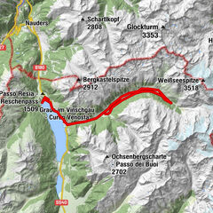
Samnaun (1.846 m)0,4 kmChe d'Mot3,9 kmPlan (1.725 m)6,4 kmLaret (1.731 m)7,0 km
- Bedste sæson
-
janfebmaraprmajjunjulaugsepoktnovdec
- Højeste punkt
- 2.113 m
- Destination
-
PostBus stop Samnaun-Laret, West
- Højdeprofil
-
 © outdooractive.com
- Forfatter
-
Rundvisningen Mot Grond and Chè d’Mot bruges af outdooractive.com forudsat.
GPS Downloads


Generel information
Lovende