© Dominik Täuber - Tourismus Engadin Scuol Samnaun Val Müstair AG

© Engadin Samnaun Val Müstair - Claudia Alini

© Engadin Samnaun Val Müstair - Claudia Alini

- Kort beskrivelse
-
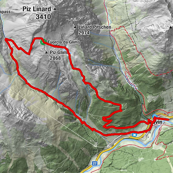
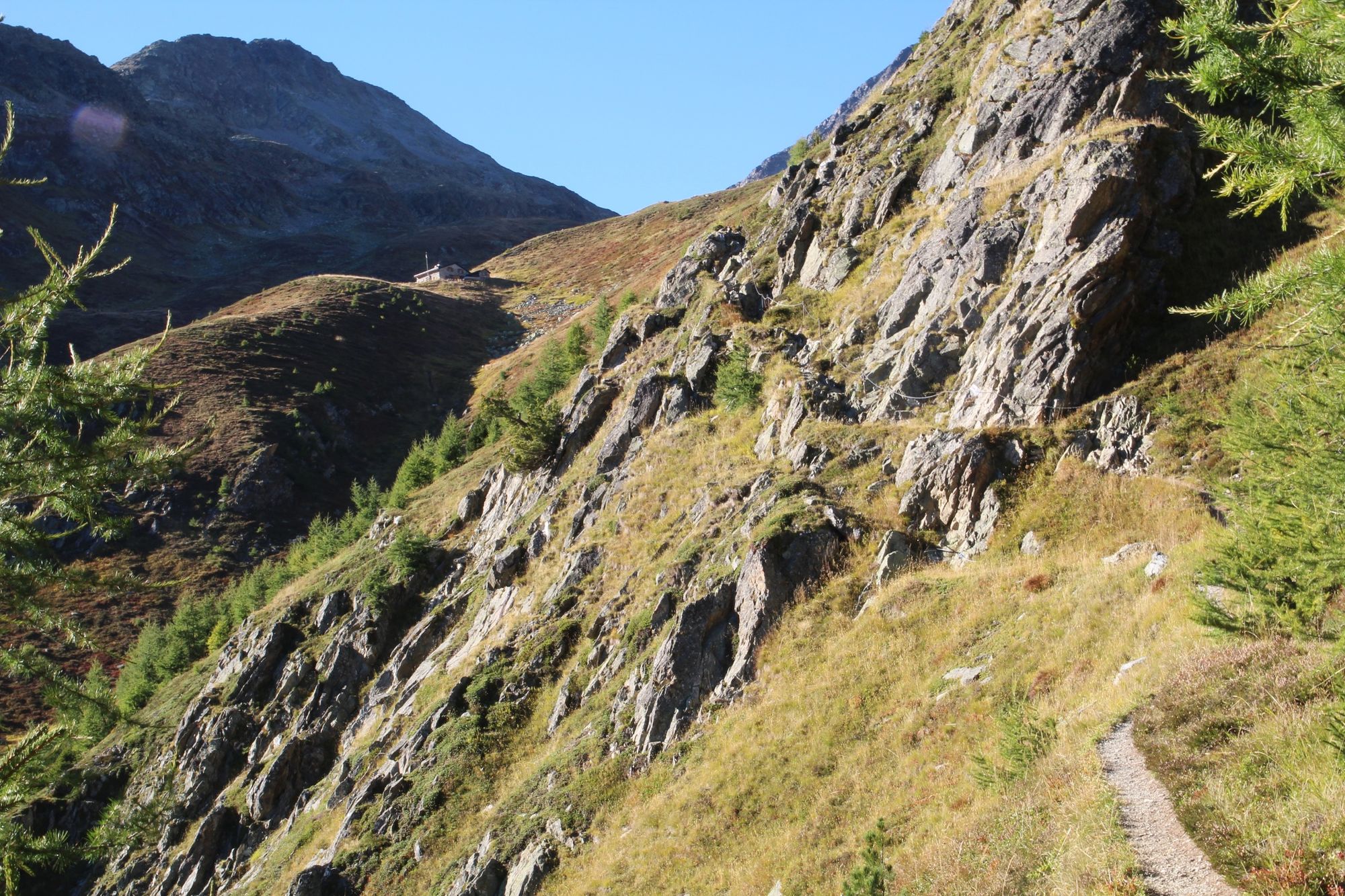
Varied hike to the Linard hut and the Glims lakes at the foot of Piz Linard.
- Sværhedsgrad
-
tung
- Evaluering
-
- Rute
-
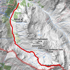
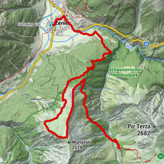
Lavin (1.432 m)Lavin (1.412 m)0,2 kmSur Auas0,5 kmChamanna dal Linard5,1 kmSuot Cha15,6 kmLavin (1.412 m)15,9 kmLavin (1.432 m)16,0 km
- Bedste sæson
-
janfebmaraprmajjunjulaugsepoktnovdec
- Højeste punkt
- 2.795 m
- Destination
-
Lavin train station
- Højdeprofil
-
 © outdooractive.com
- Forfatter
-
Rundvisningen Chamonna dal Linard – Fuorcla da Glims – Val Sagliains (circuit) bruges af outdooractive.com forudsat.
GPS Downloads


Generel information
Forfriskningsstop
Lovende
Flere ture i regionerne
-
Engadin Scuol Zernez
734
-
Lavin
118

 Lucas Tiefenthaler / Vorarlberg Tourismus")