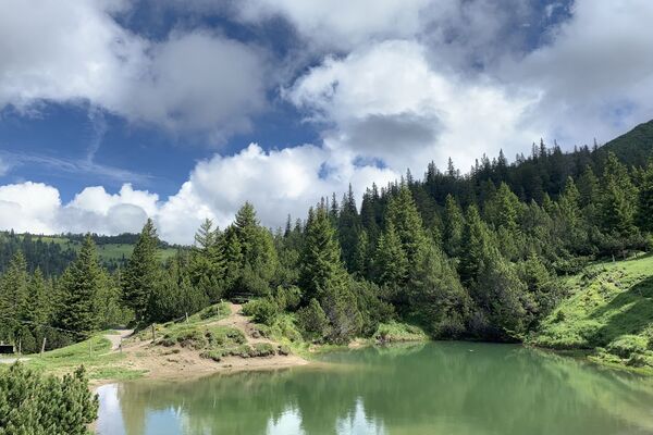
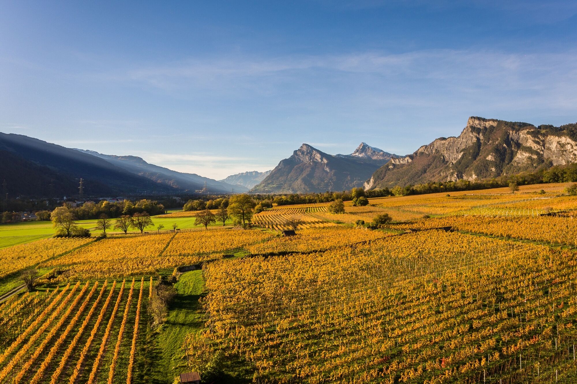
© Heidiland Tourismus


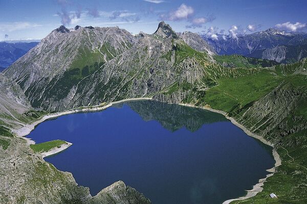
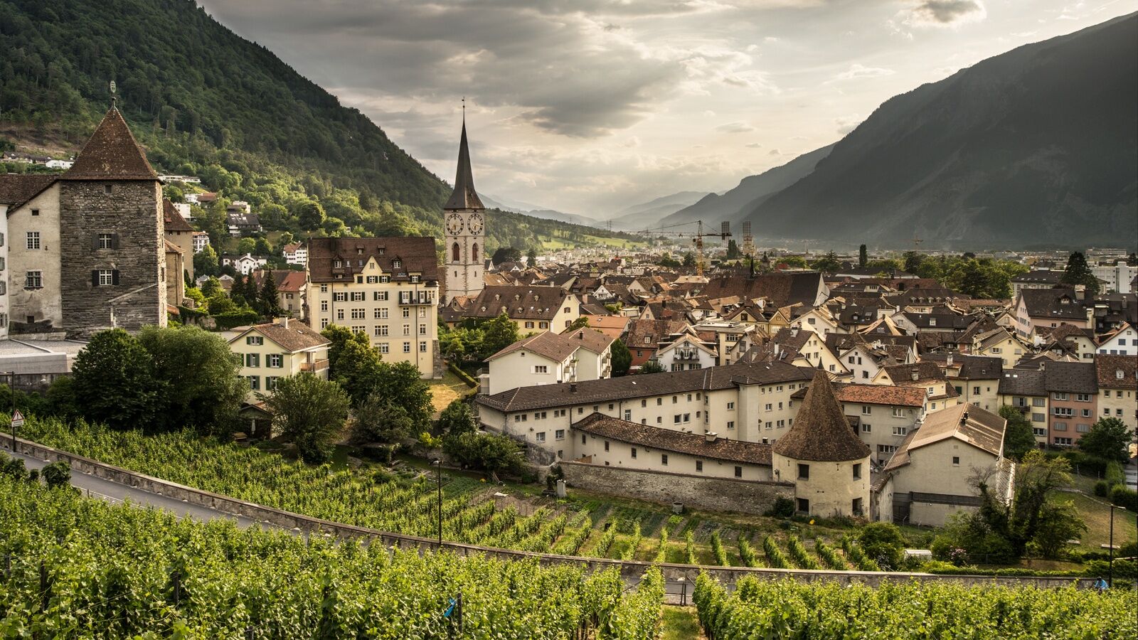
© Chur - Die Alpenstadt - Michael Christ

© Chur - Die Alpenstadt - Michael Christ

© Chur - Die Alpenstadt - Karin Bächer

- Kort beskrivelse
-
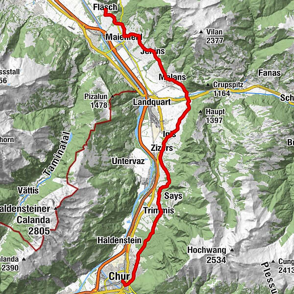
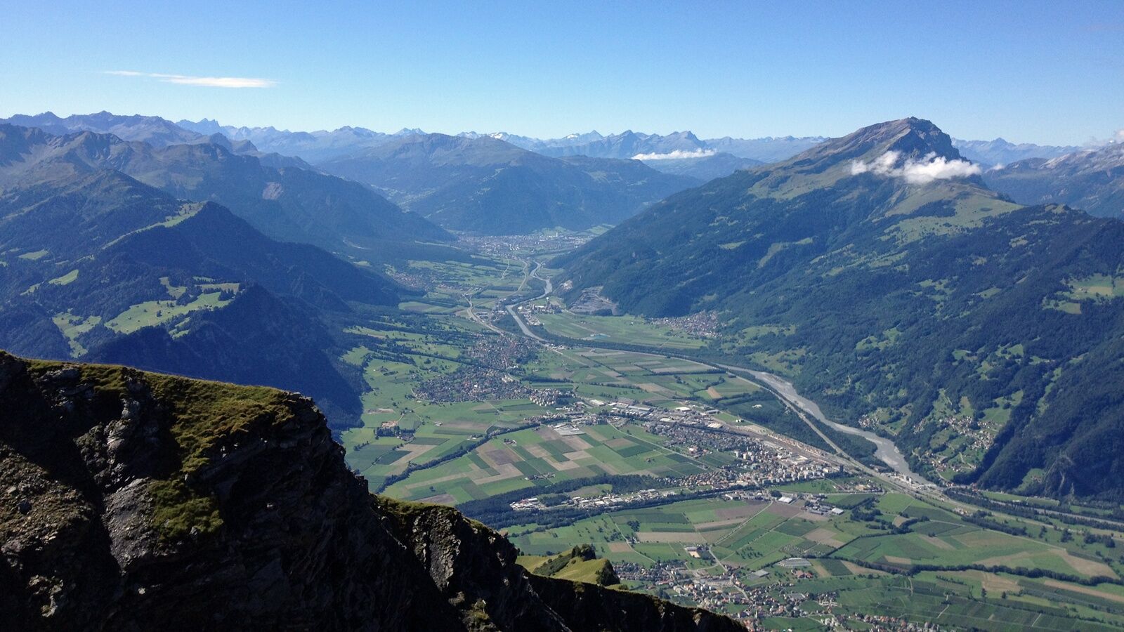
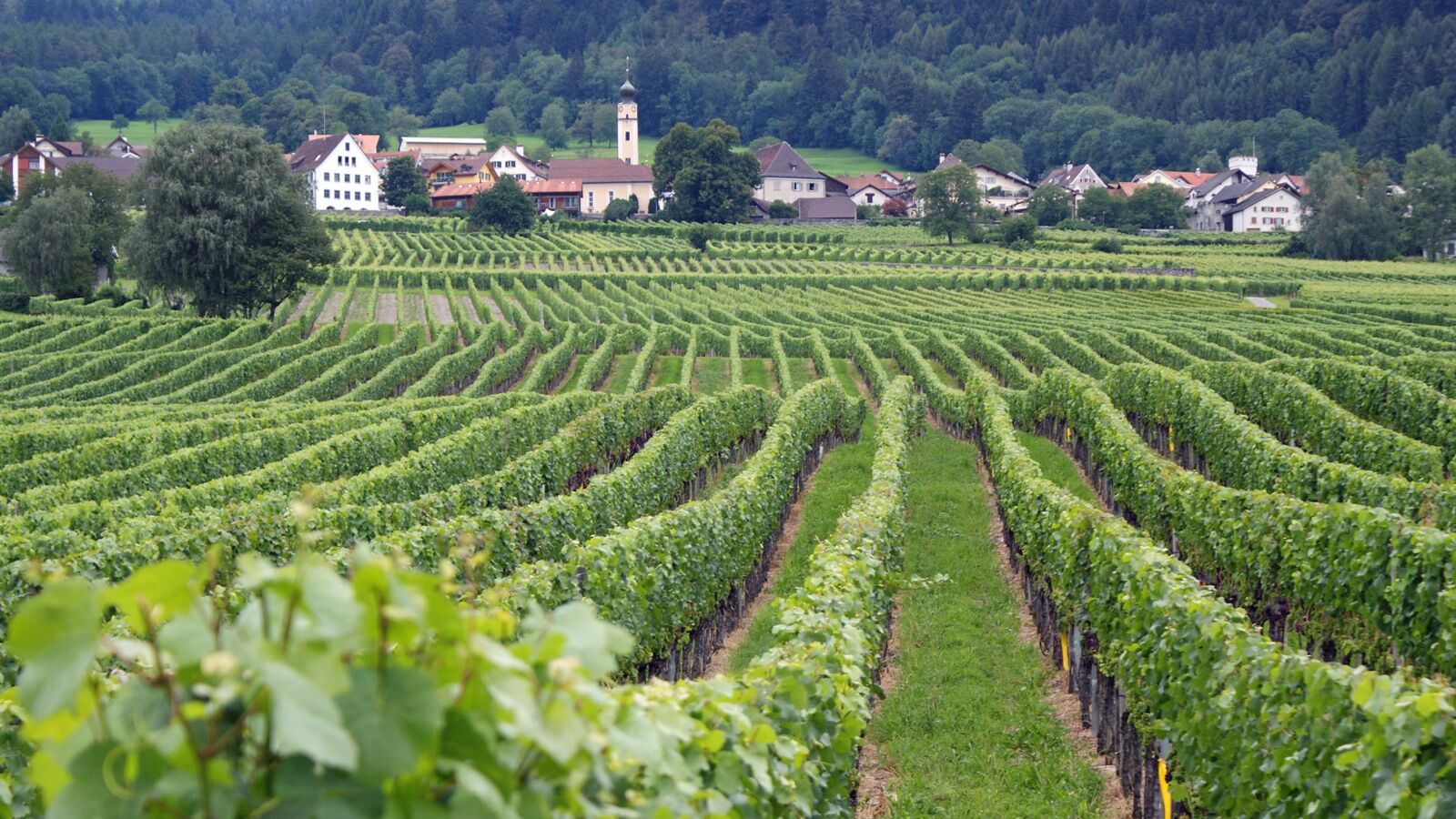
The wine hiking trail Bündner Rheintal connects the city of Chur with the wine villages in the Bündner Rheintal and Bündner Herrschaft.
- Sværhedsgrad
-
medium
- Evaluering
-
- Rute
-
Chur (593 m)Katholische Kirche Trimmis6,2 kmTrimmis (637 m)6,2 kmMolinära8,9 kmZizers (561 m)11,8 kmReformierte Kirche12,9 kmIgis (563 m)13,0 kmHöflibeiz13,1 kmPagolla17,4 kmZum Ochsen18,3 kmMalans (568 m)18,3 kmHotel Weiss Kreuz18,4 kmGasthaus Krone18,4 kmOberdorf18,5 kmReformierte Kirche Malans18,5 kmJenins (635 m)21,1 kmReformierte Kirche21,3 kmRofels22,8 kmMaienfeld (504 m)23,9 kmAlte Schiesshütte24,6 kmFläsch (528 m)26,8 km
- Bedste sæson
-
janfebmaraprmajjunjulaugsepoktnovdec
- Højeste punkt
- 734 m
- Destination
-
Chur, Fläsch or along the route
- Højdeprofil
-
 © outdooractive.com

-

-
ForfatterRundvisningen Wine Hiking Trail in Graubünden's Rhine Valley bruges af outdooractive.com forudsat.
GPS Downloads
Generel information
Forfriskningsstop
Kulturel/Historisk
Insider-tip
Flora
Lovende
Flere ture i regionerne
-
Heidiland
2201
-
Bündner Herrschaft
1202
-
Zizers
178