

© Engadin Tourismus AG - Silvan Caderas

© Graubünden Ferien - Marco Hartmann

© Corvatsch AG - Gian Giovanoli

© Engadin Tourismus AG - Silvan Caderas

© Engadin Tourismus AG - Silvan Caderas

© Engadin Tourismus AG - Silvan Caderas

© Engadin Tourismus AG - Silvan Caderas


© Engadin Tourismus AG - Silvan Caderas

- Kort beskrivelse
-
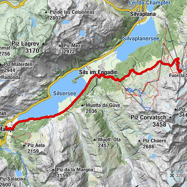
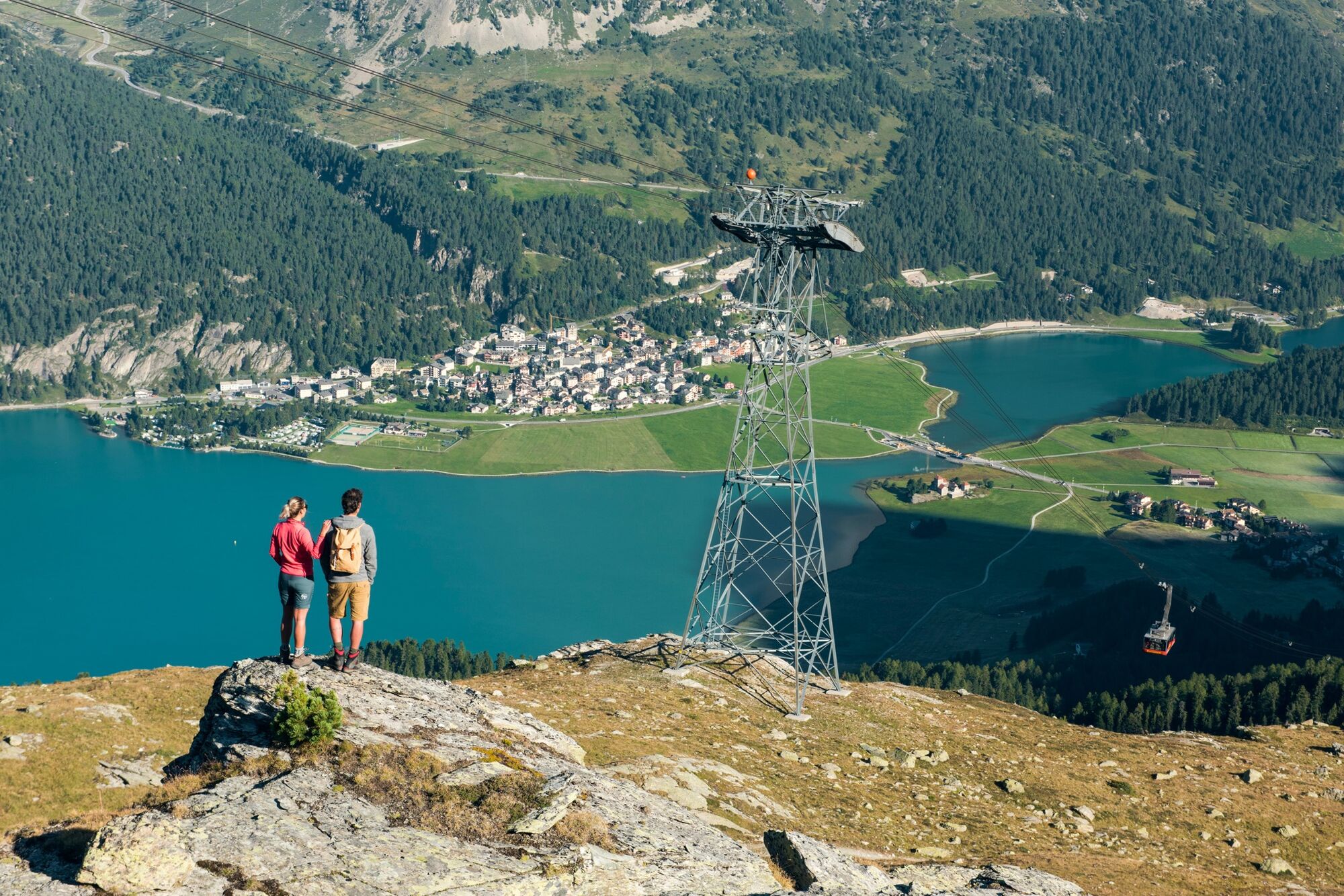
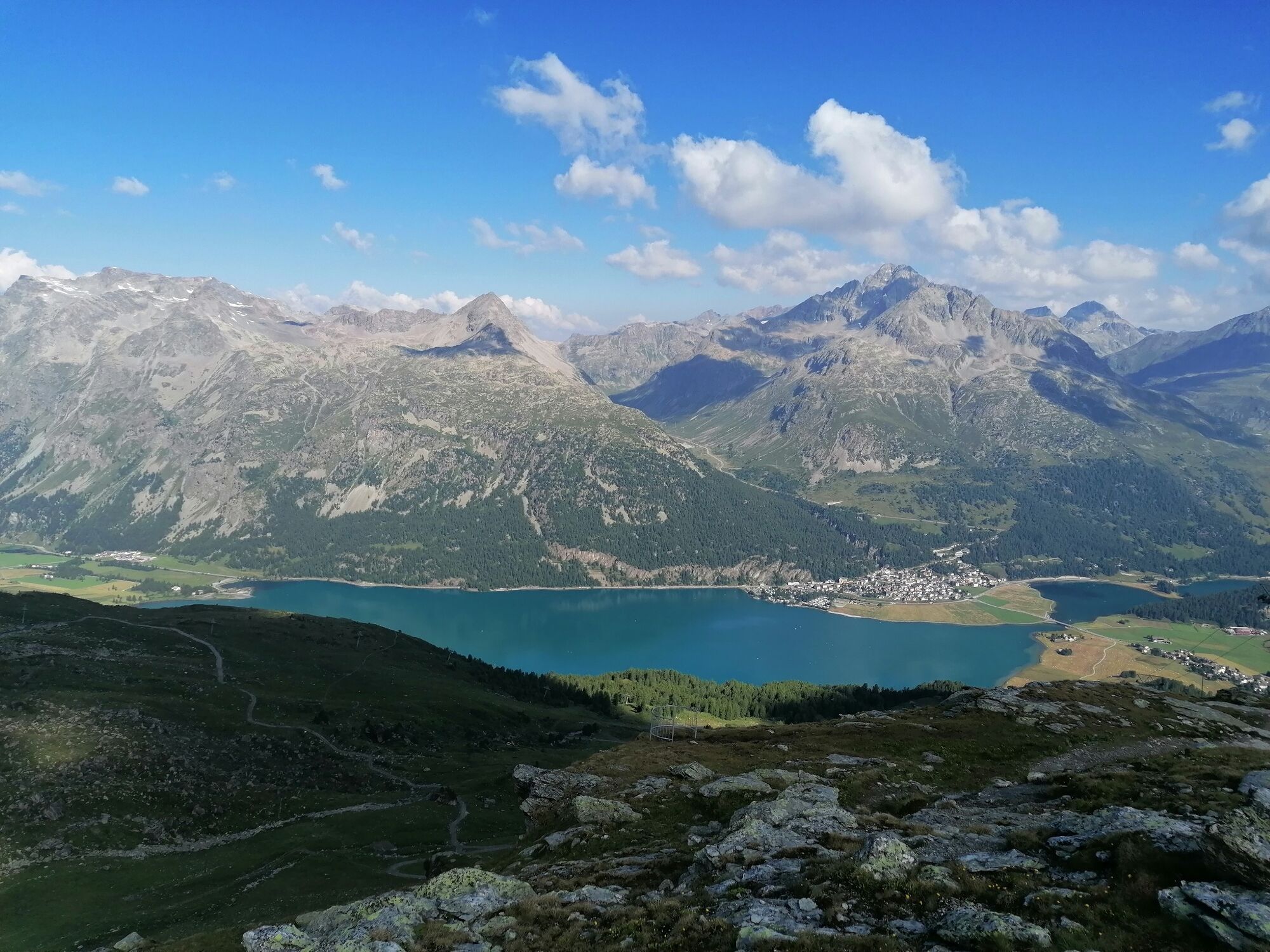
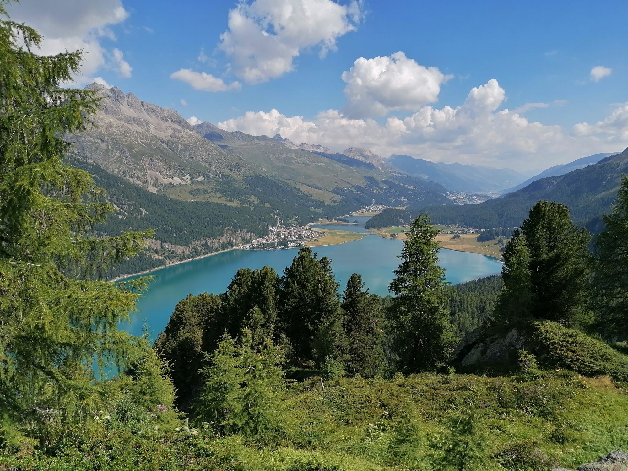
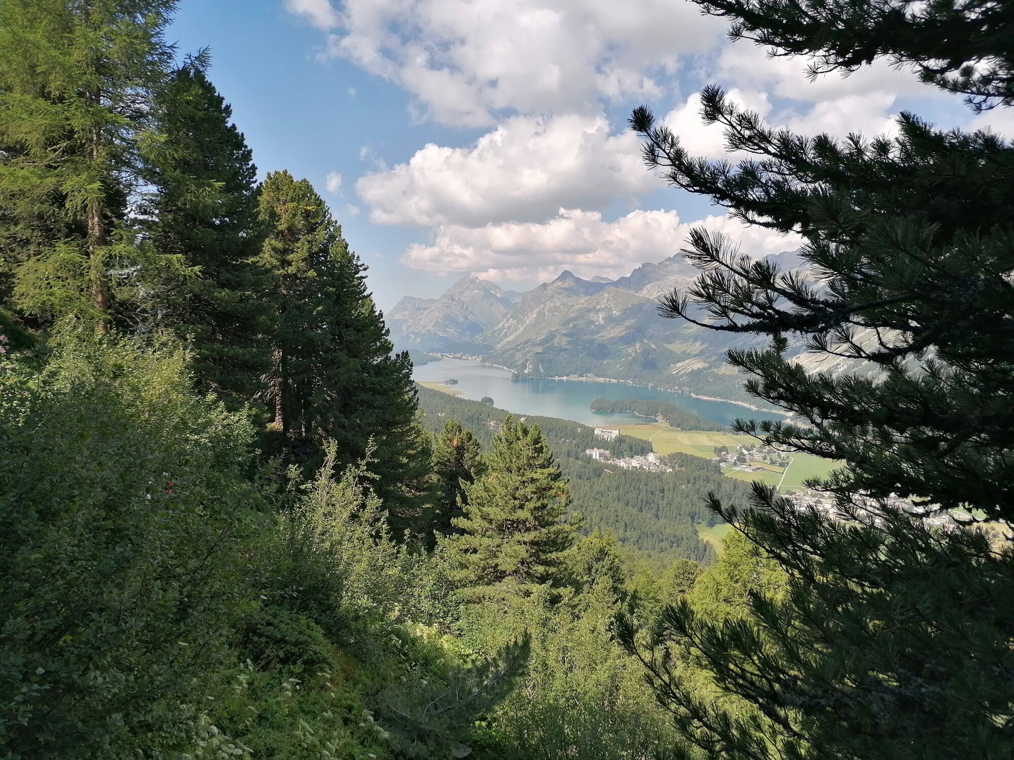
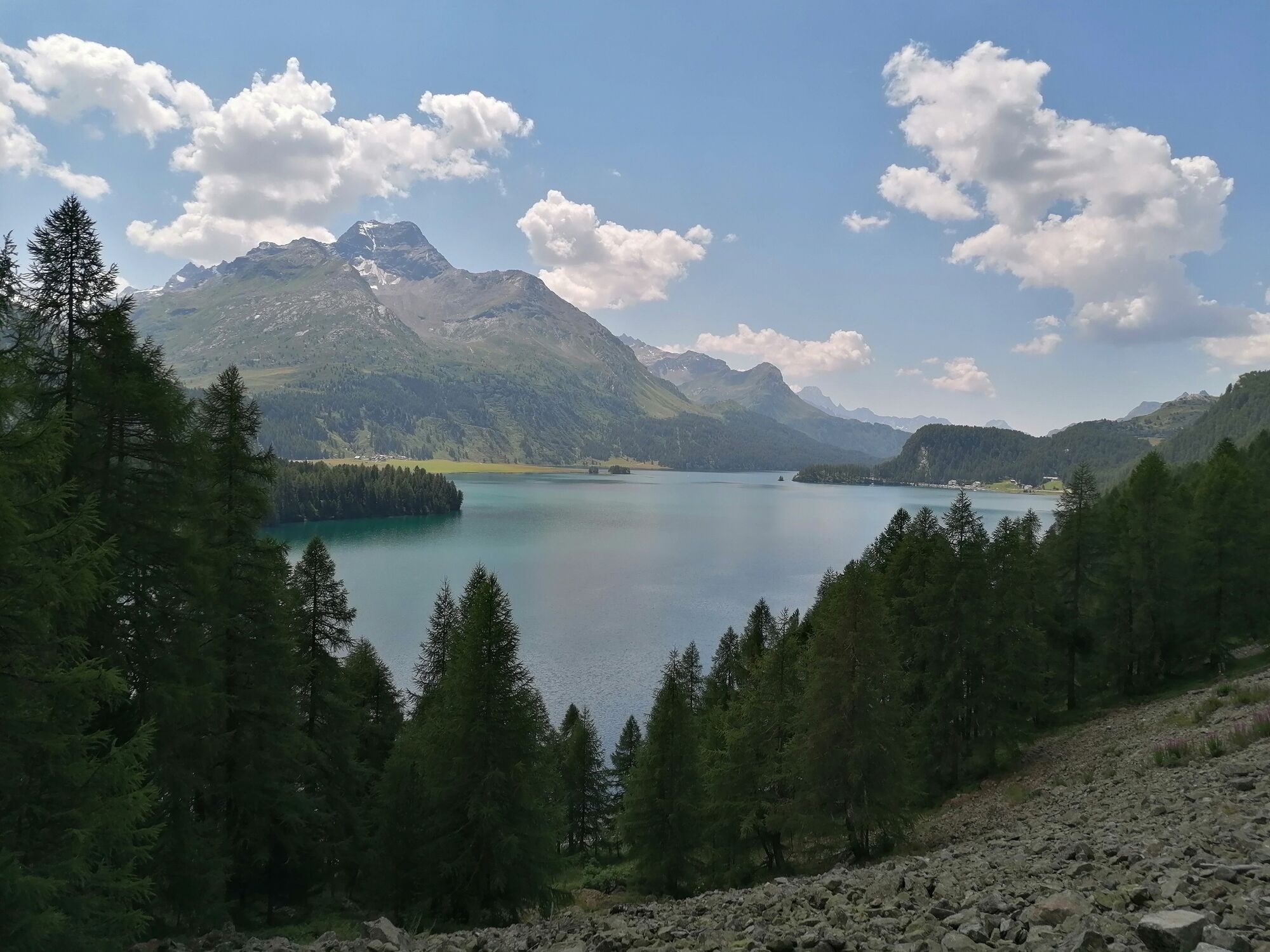
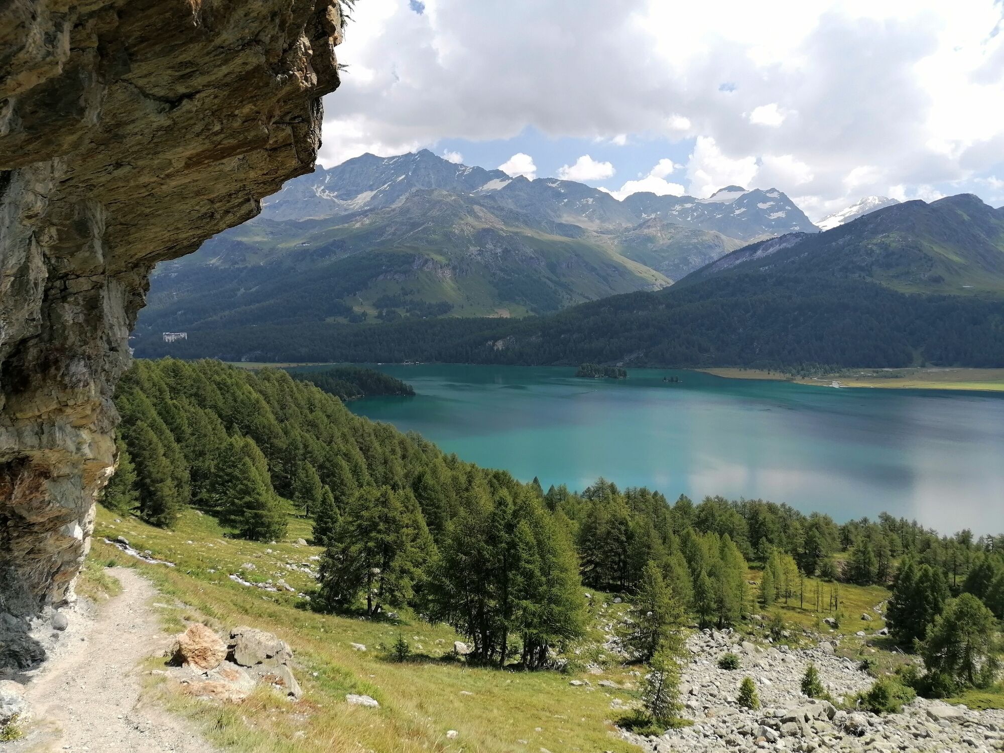
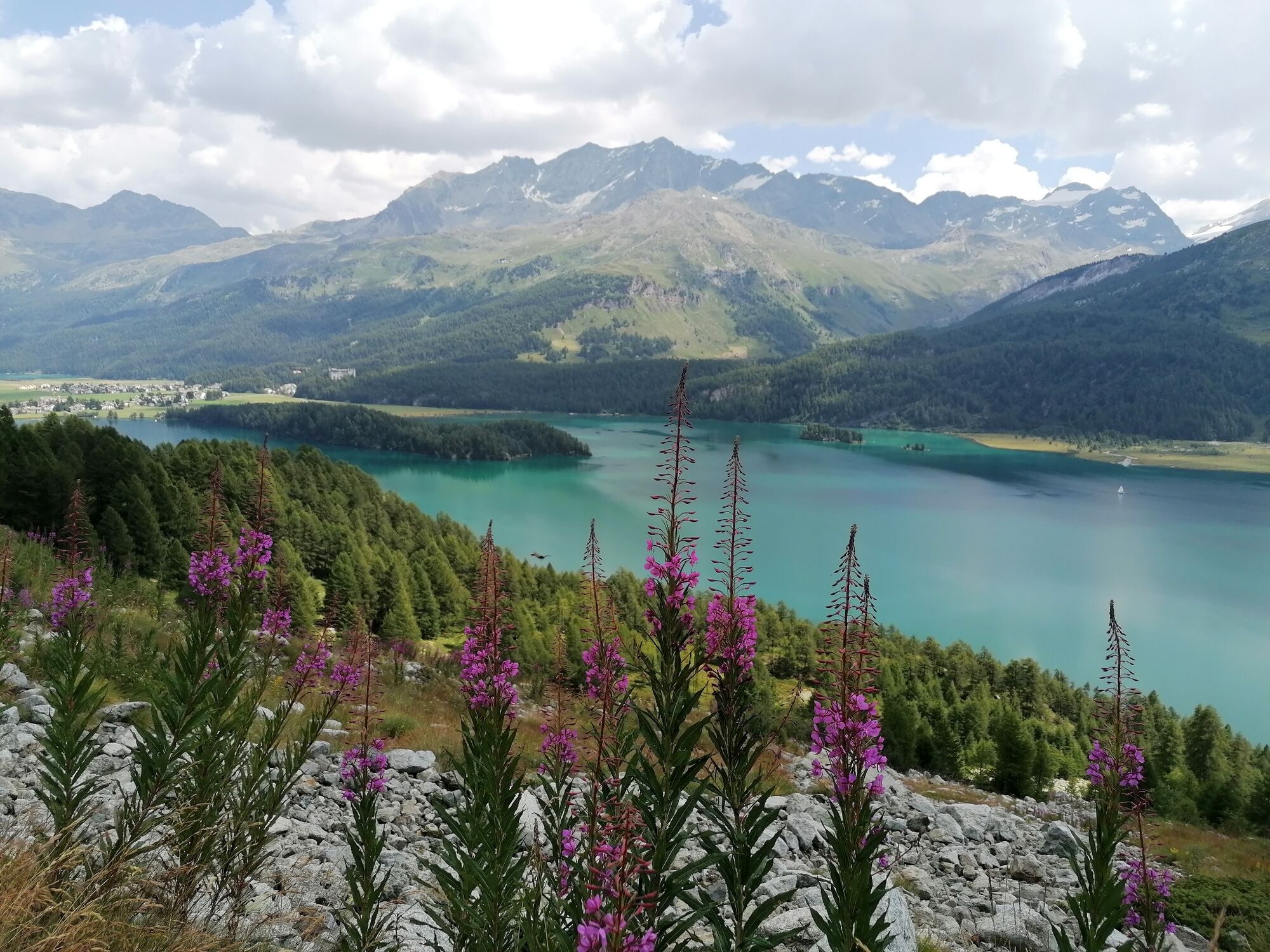
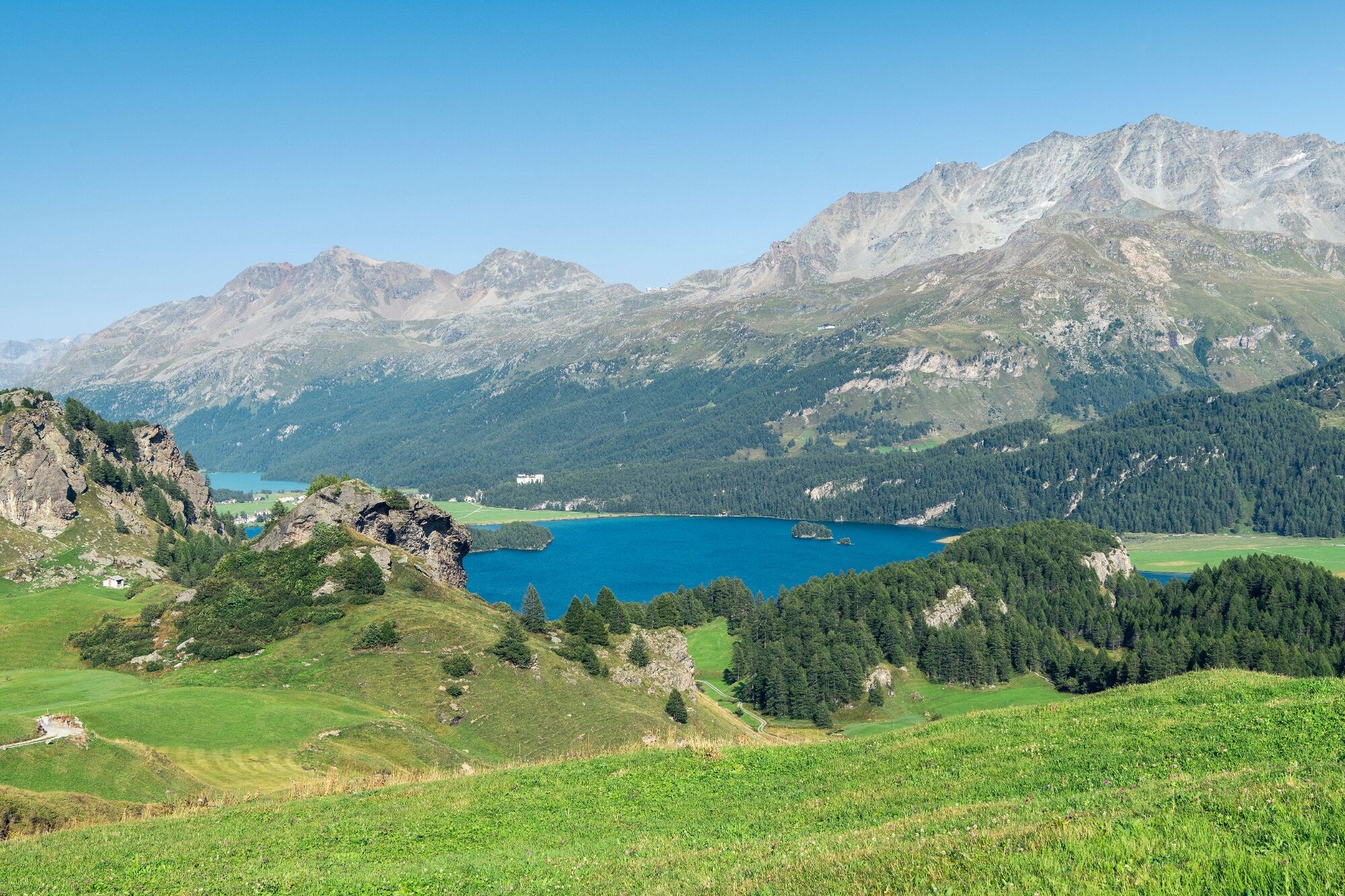
Hike from the Corvatsch middle station Murtèl to Maloja on high-altitude paths with views of the Upper Engadin lake landscape.
Due to a trail closure between Sils Baselgia and Plaun da Lej, the tour is diverted via Isola.
- Sværhedsgrad
-
let
- Evaluering
-
- Rute
-
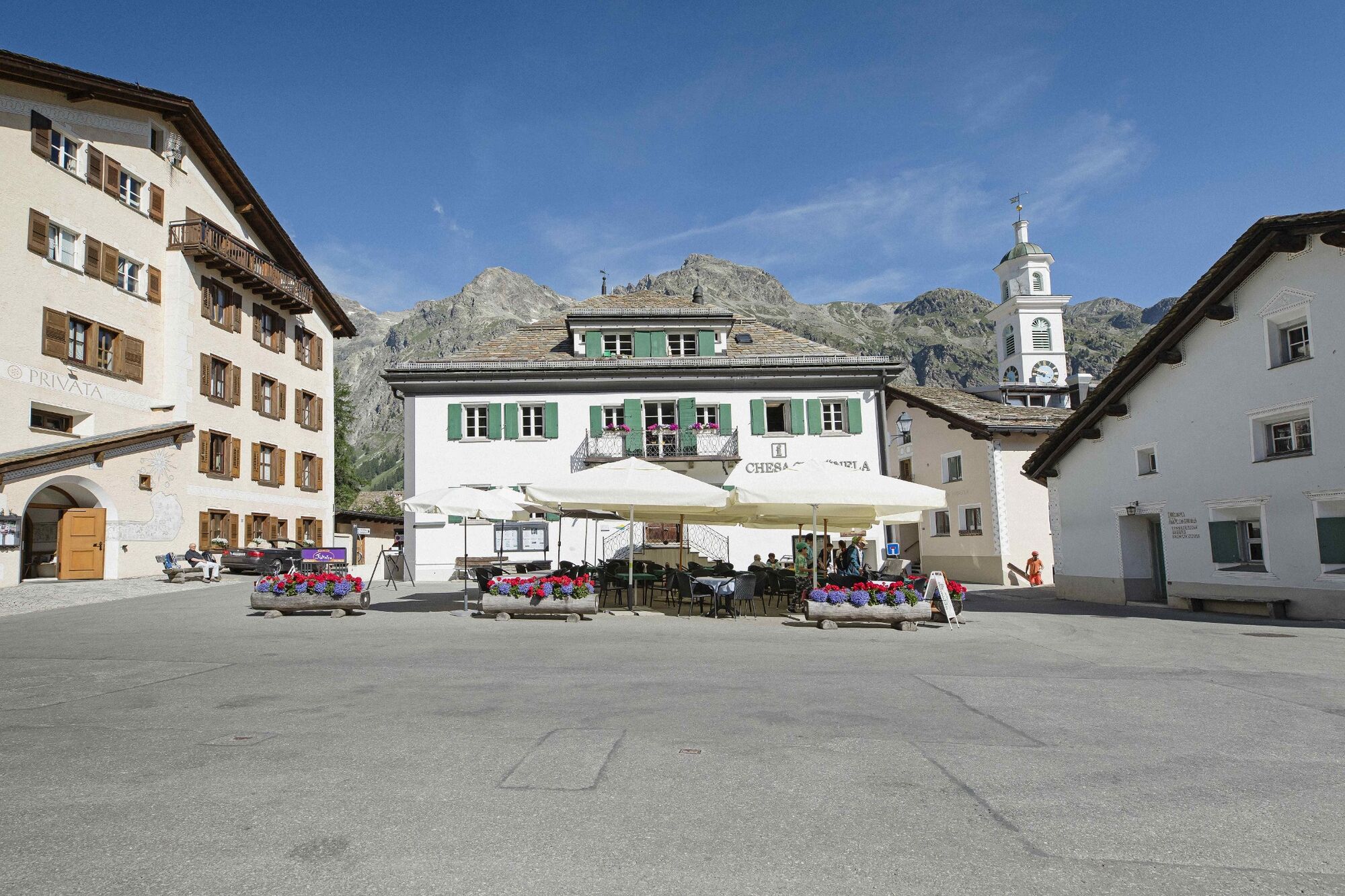
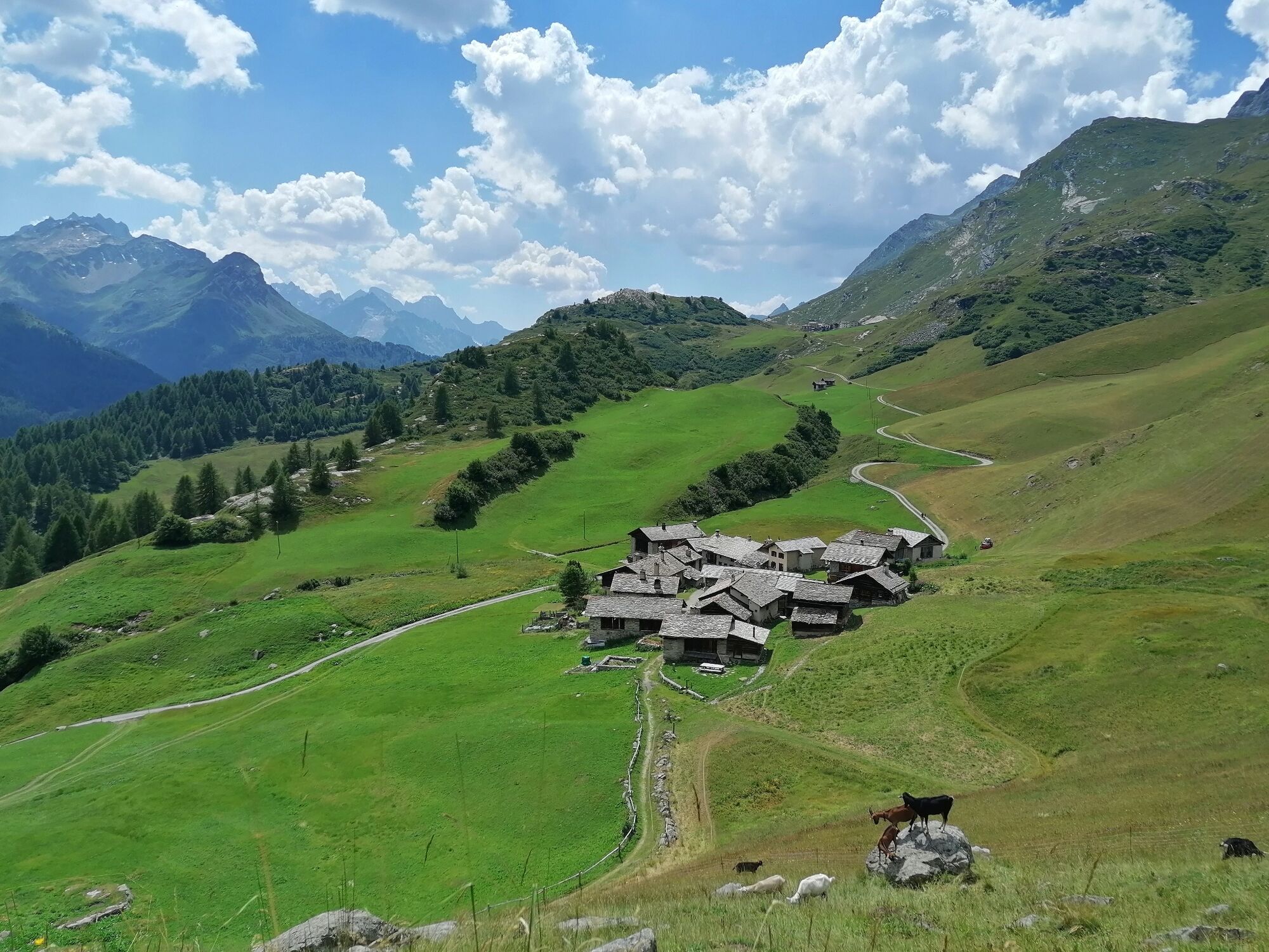
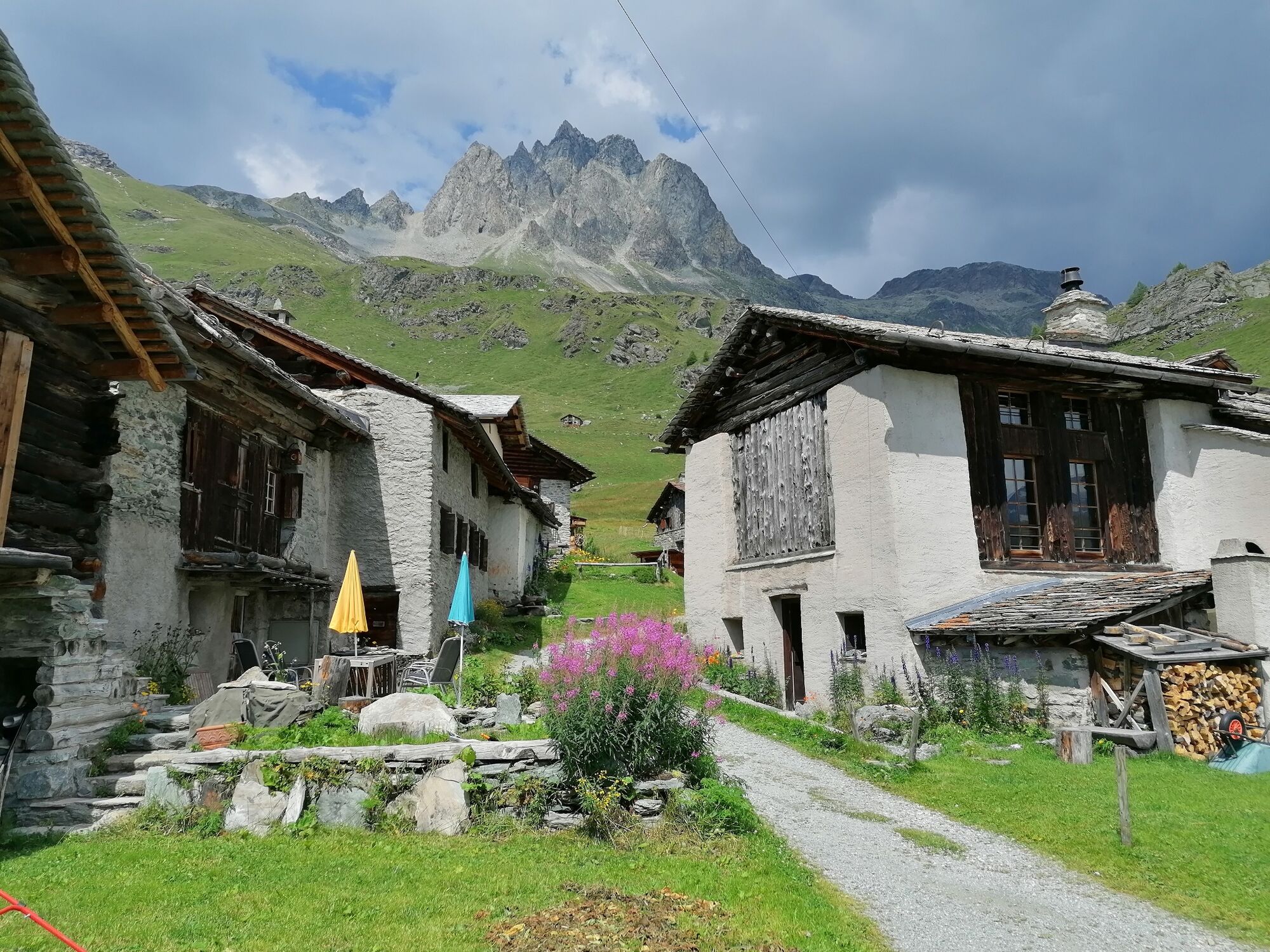
Alp Prasüra6,2 kmCrastas Dadains6,9 kmCrastas7,1 kmCrastas Dadour7,1 kmChrist-König-Kirche7,2 kmReformierte Kirche7,5 kmSils im Engadin (1.803 m)7,7 kmAlpenrose7,7 kmSuot Crastas7,7 kmSpuonda Laret7,9 kmPizs7,9 kmSils/Segl Maria Barchiröls (1.802 m)8,6 kmIls Barchiröls8,7 kmIsola (1.811 m)10,3 kmIsola (See) (1.810 m)11,0 kmPlan Cuncheta12,9 kmCresta13,6 kmLa Motta13,9 kmKirche St. Peter und Paul14,3 kmMaloja (1.809 m)14,3 kmSchweizerhaus14,4 kmMaloja Posta14,5 km
- Bedste sæson
-
janfebmaraprmajjunjulaugsepoktnovdec
- Højeste punkt
- 2.699 m
- Destination
-
Maloja
- Højdeprofil
-
 © outdooractive.com


- Forfatter
-
Rundvisningen 53 Bernina-Tour: Stage 5 Surlej-Maloja bruges af outdooractive.com forudsat.
GPS Downloads


Generel information
Forfriskningsstop
Kulturel/Historisk
Flora
Lovende
Flere ture i regionerne
-
Veltlin / Valtellina
852
-
Engadin St. Moritz
782
-
Sils
311


