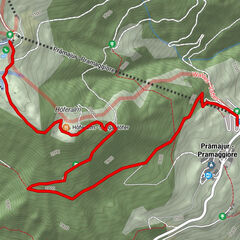
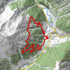
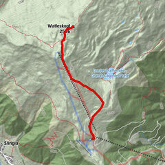
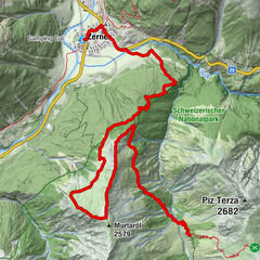
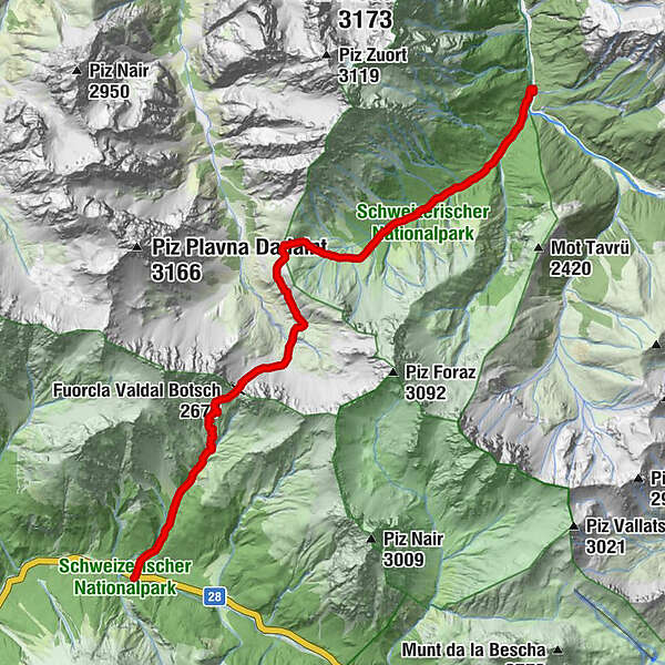
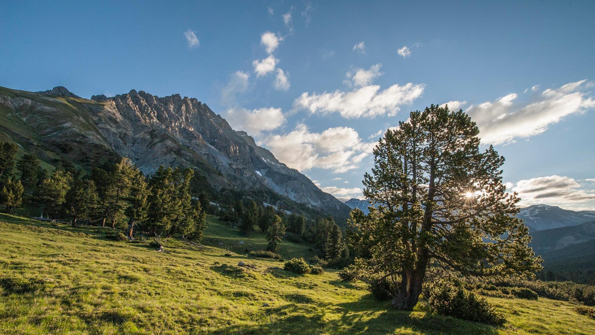
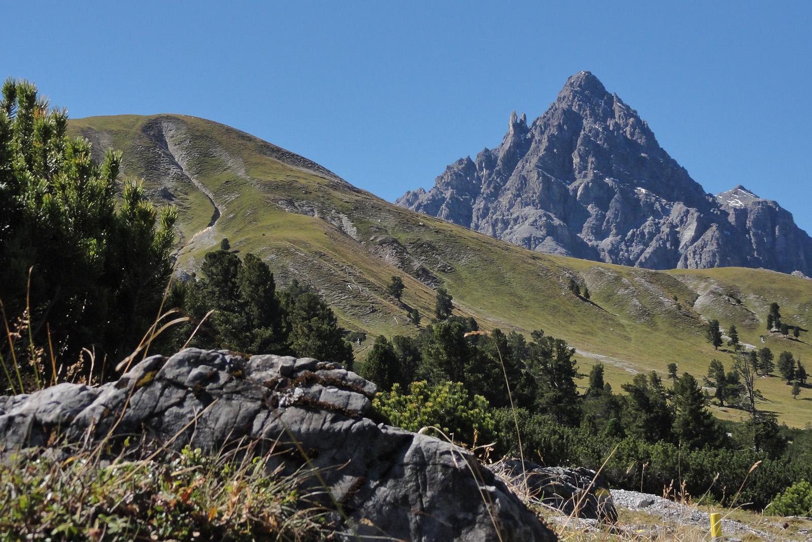
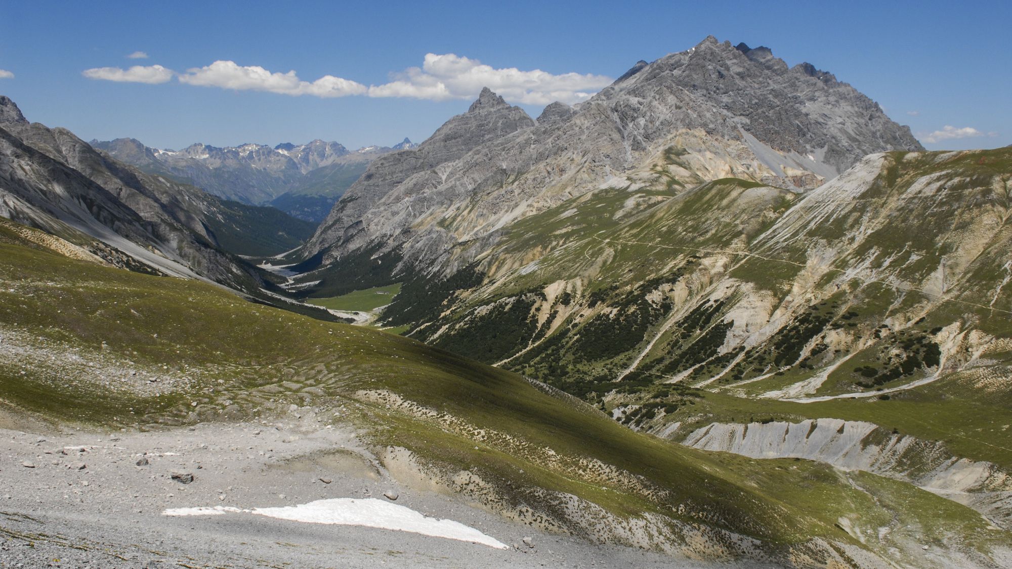
Nationalpark: Val Mingèr – Sur il Foss – Fuorcla Val dal Botsch – Ofenpassstrasse

© Engadin Samnaun Val Müstair - Schweizerischer Nationalpark / Hans Lozza

© Engadin Samnaun Val Müstair - Dominik Täuber

© Engadin Samnaun Val Müstair - Schweizerischer Nationalpark / Hans Lozza

- Kort beskrivelse
-
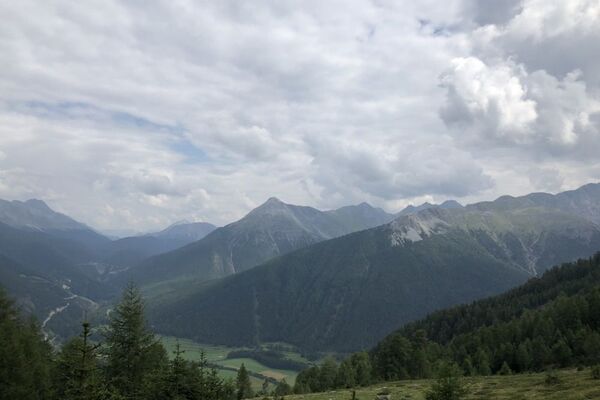
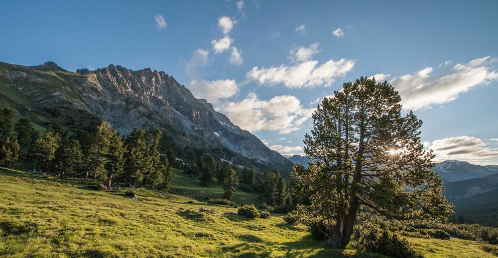
A classic pass hike that connects Val Mingèr with the Ofenpass region. The flora on the ascent is among the most beautiful in the entire Swiss National Park.
- Sværhedsgrad
-
medium
- Evaluering
-
- Rute
- Bedste sæson
-
janfebmaraprmajjunjulaugsepoktnovdec
- Højeste punkt
- 2.663 m
- Destination
-
PostBus stop Stabelchod (P8)
- Højdeprofil
-
 © outdooractive.com
- Forfatter
-
Rundvisningen Nationalpark: Val Mingèr – Sur il Foss – Fuorcla Val dal Botsch – Ofenpassstrasse bruges af outdooractive.com forudsat.