© Andrea Badrutt
© Andrea Badrutt
© Andrea Badrutt
© Andrea Badrutt

- Kort beskrivelse
-
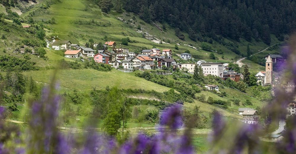
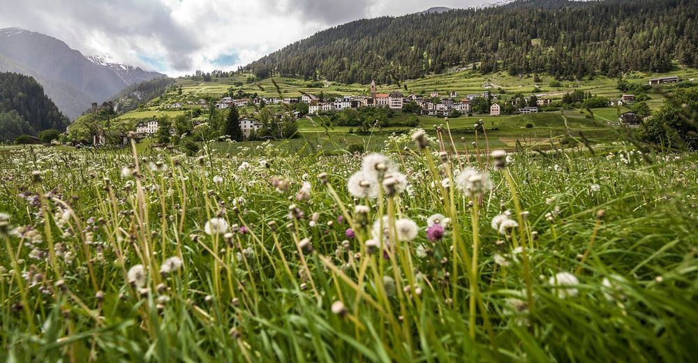
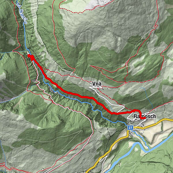
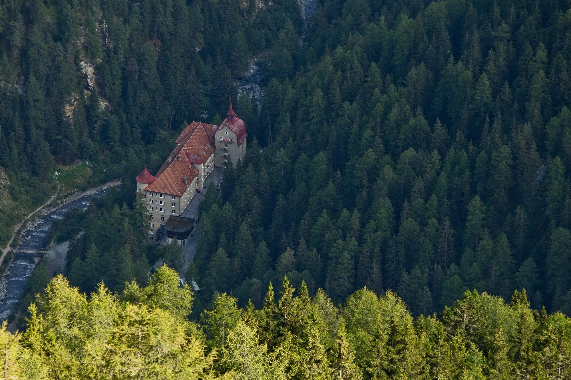
Adventurous hike above Ramosch to Sinestra.
- Sværhedsgrad
-
medium
- Evaluering
-
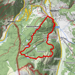
- Rute
-
Florinuskirche0,0 kmRamosch (1.236 m)0,0 kmVnà2,0 kmVal Sinestra (1.522 m)4,6 km
- Bedste sæson
-
janfebmaraprmajjunjulaugsepoktnovdec
- Højeste punkt
- 1.513 m
- Destination
-
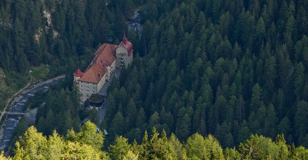
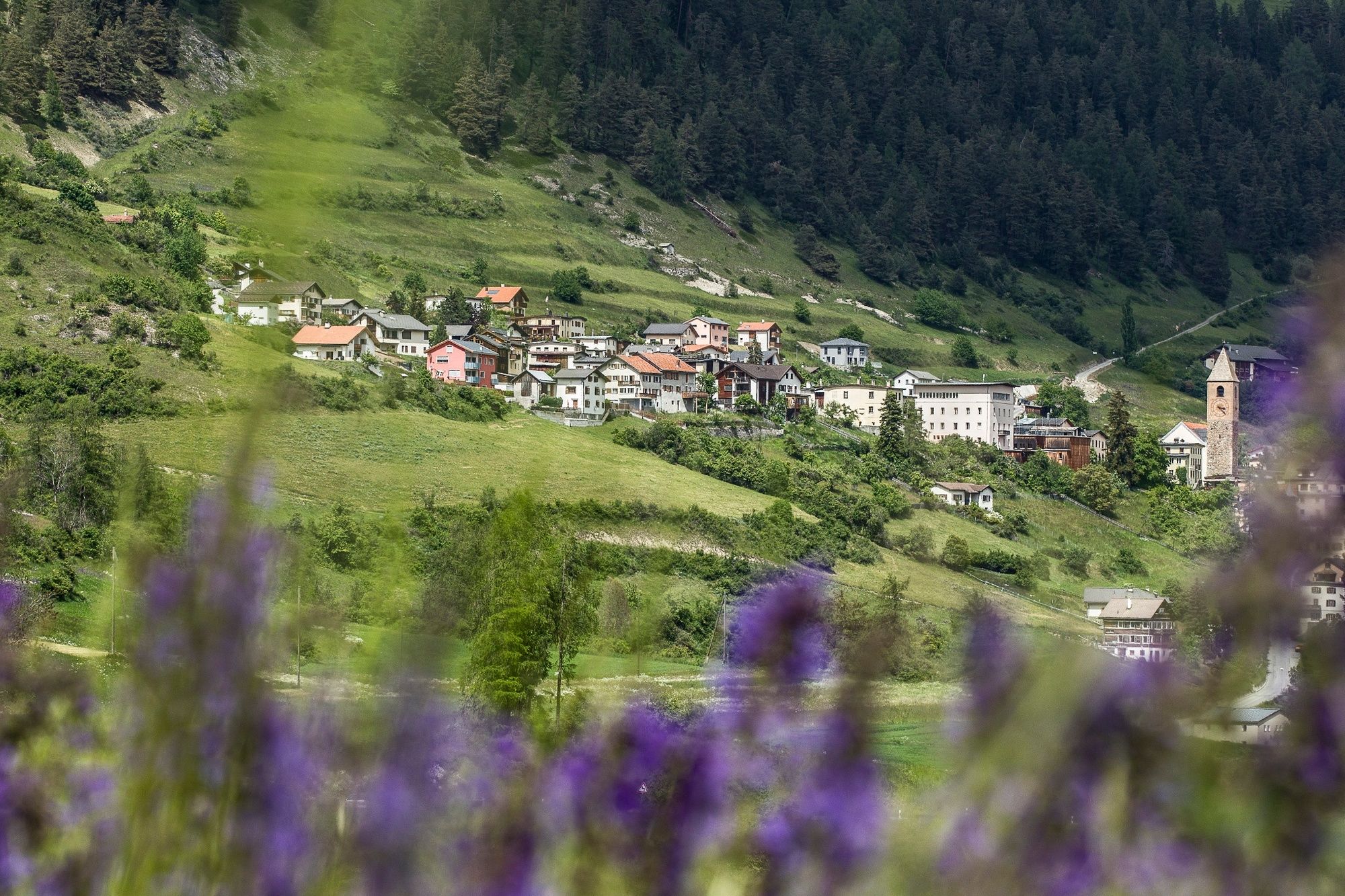
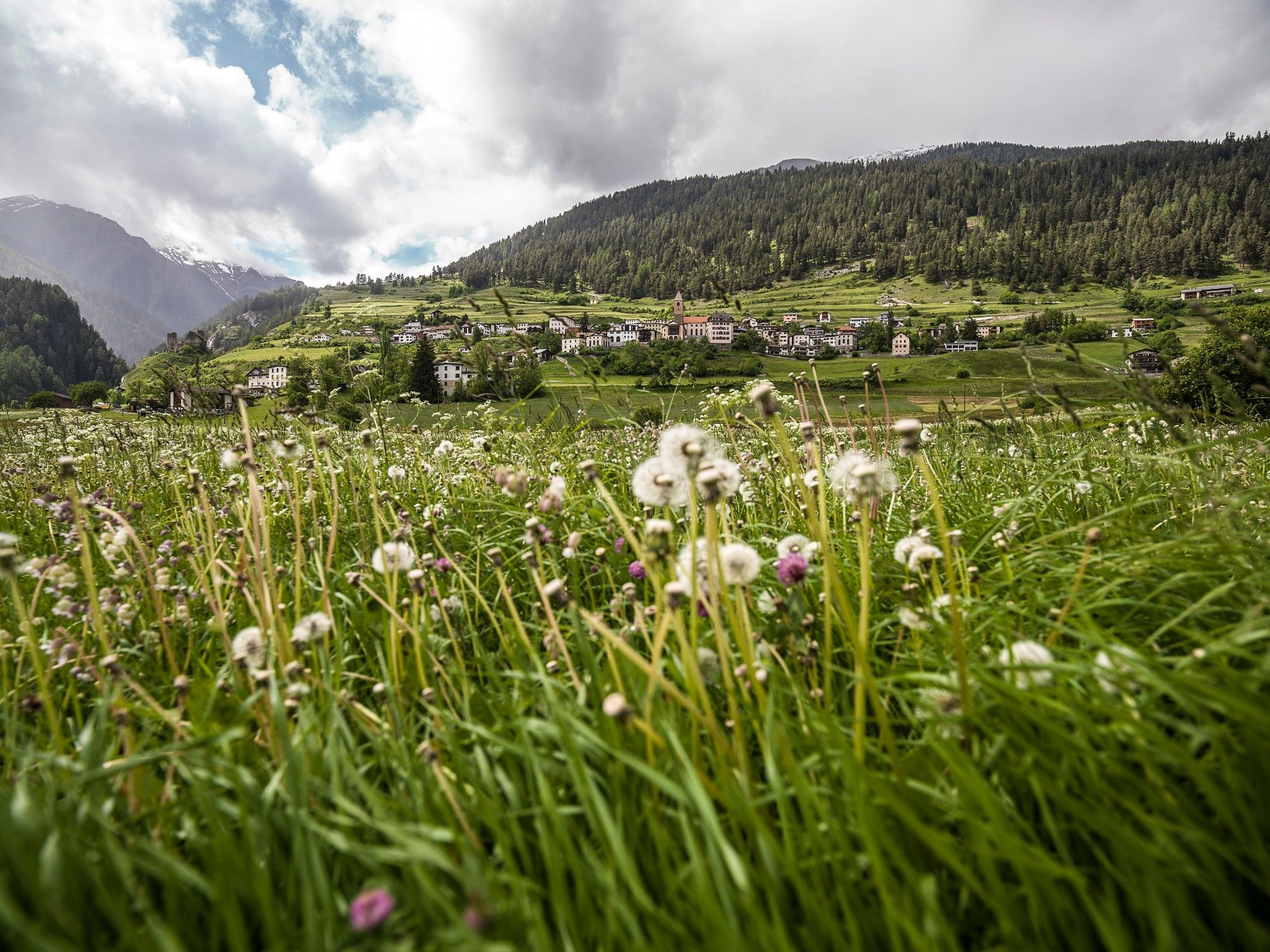
Sinestra
- Højdeprofil
-
 © outdooractive.com
- Forfatter
-
Rundvisningen Ramosch - Val Sinestra, along the Branclas Gorge bruges af outdooractive.com forudsat.
GPS Downloads


Generel information
Forfriskningsstop
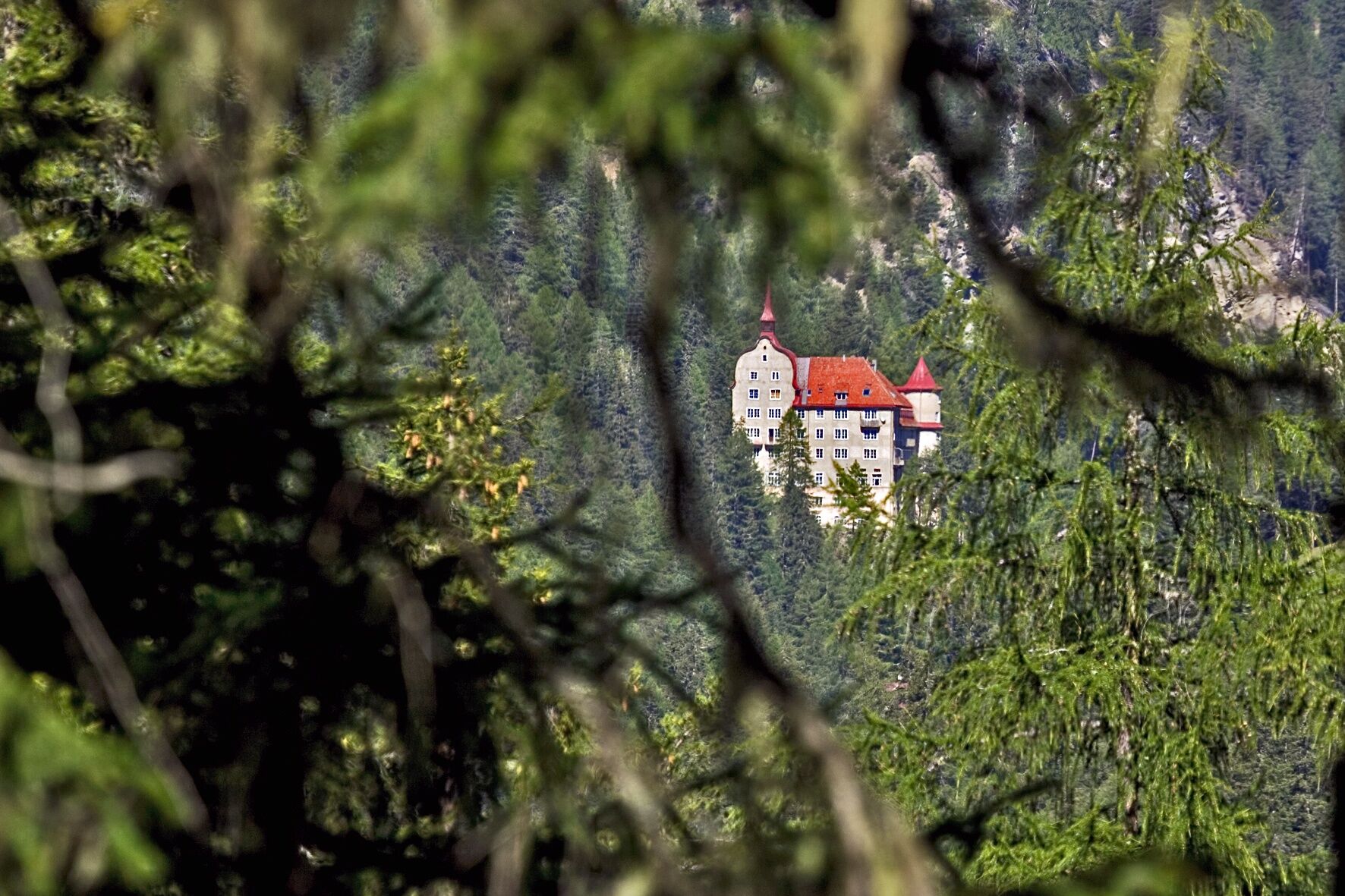
Kulturel/Historisk
Lovende
Flere ture i regionerne
-
Vinschgau
1291
-
Engadin Scuol Zernez
734
-
Ramosch-Vnà
147