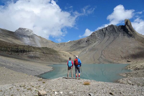
© Mäsi Volken
- Kort beskrivelse
-
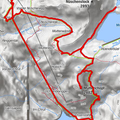
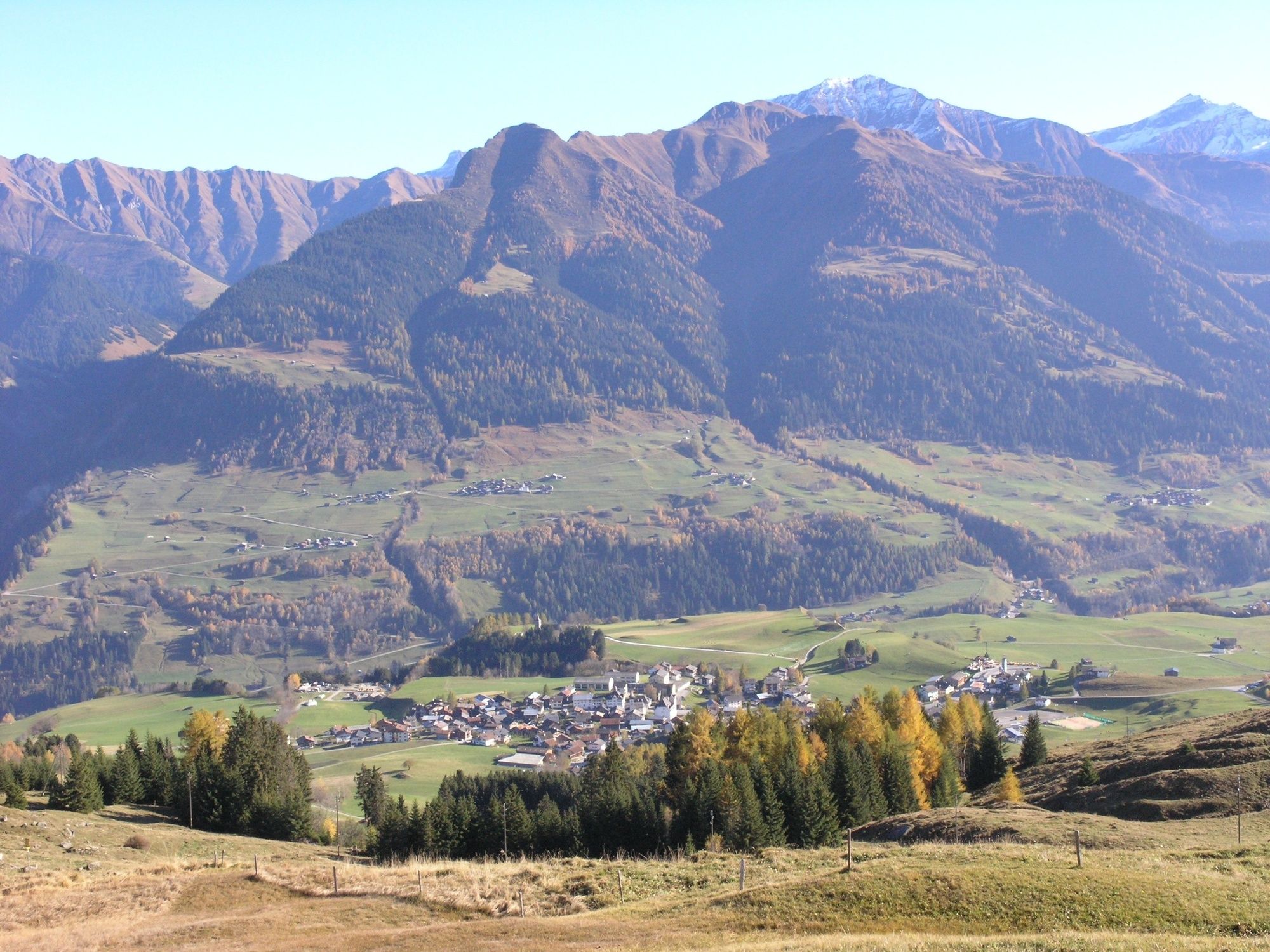
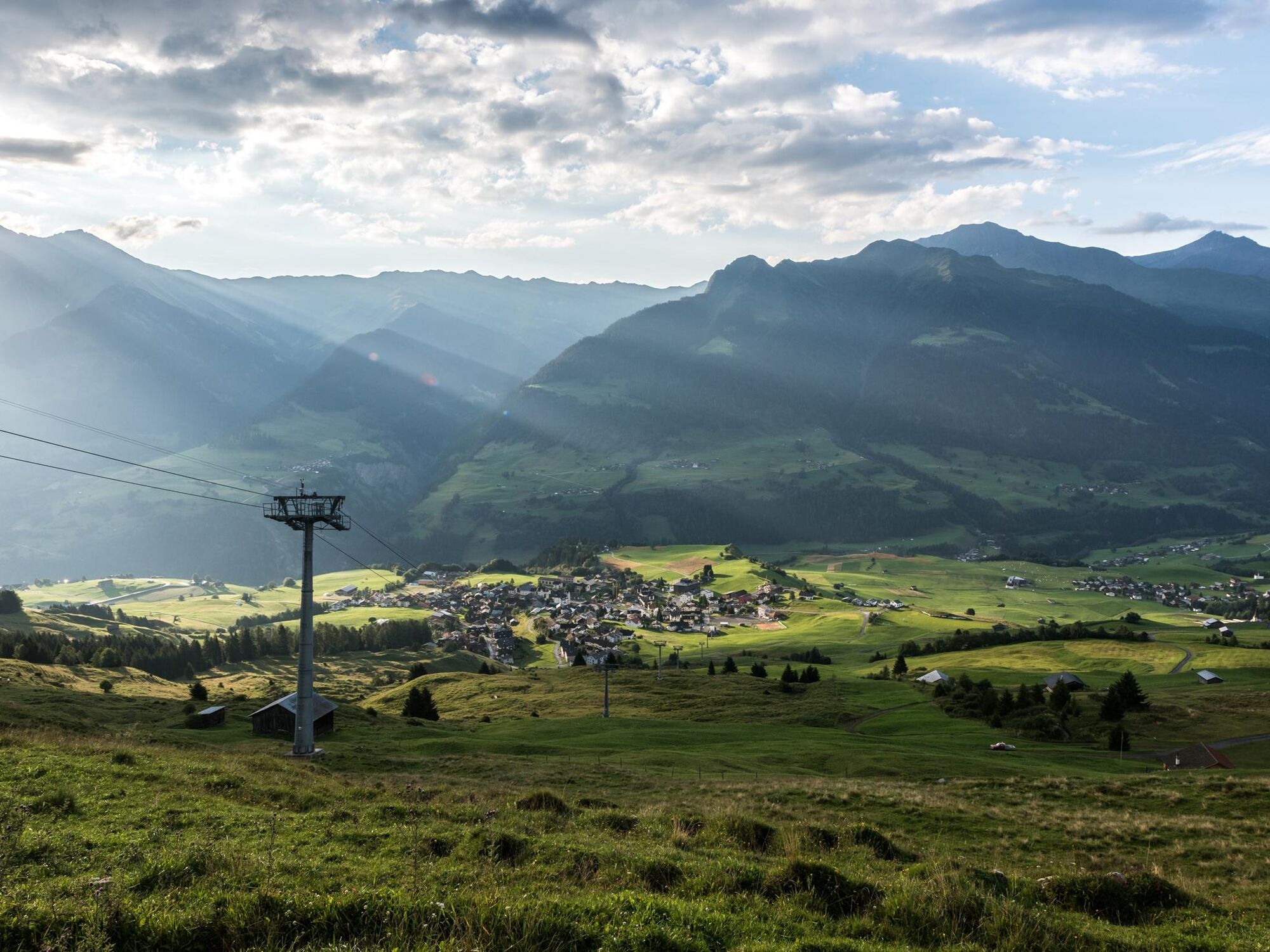
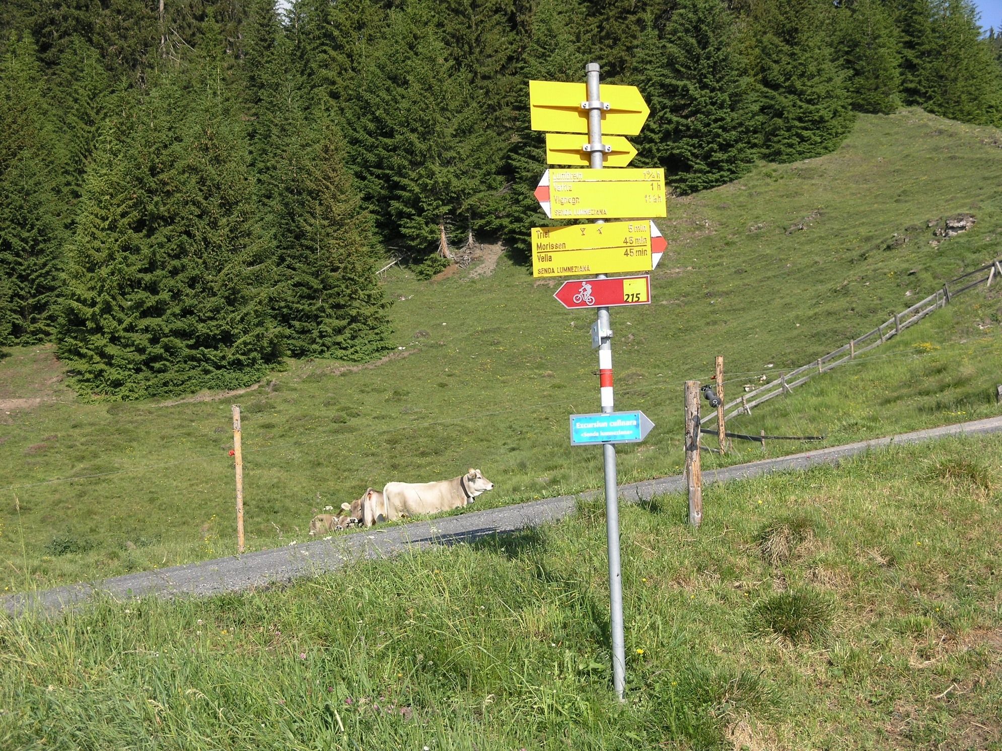
Leichte Wanderung zur Mittelstation Triel und zurück.
- Sværhedsgrad
-
let
- Evaluering
-
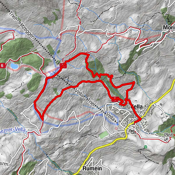
- Rute
-
Katholische Kirche0,1 kmVella0,3 kmUstria Triel2,7 kmVella5,7 kmKatholische Kirche5,9 km
- Bedste sæson
-
janfebmaraprmajjunjulaugsepoktnovdec
- Højeste punkt
- 1.605 m
- Destination
-
Vella, Postautohaltestelle
- Højdeprofil
-
 © outdooractive.com

- Forfatter
-
Rundvisningen Rundwanderung Vella - Triel - Vella bruges af outdooractive.com forudsat.
GPS Downloads


Generel information
Forfriskningsstop
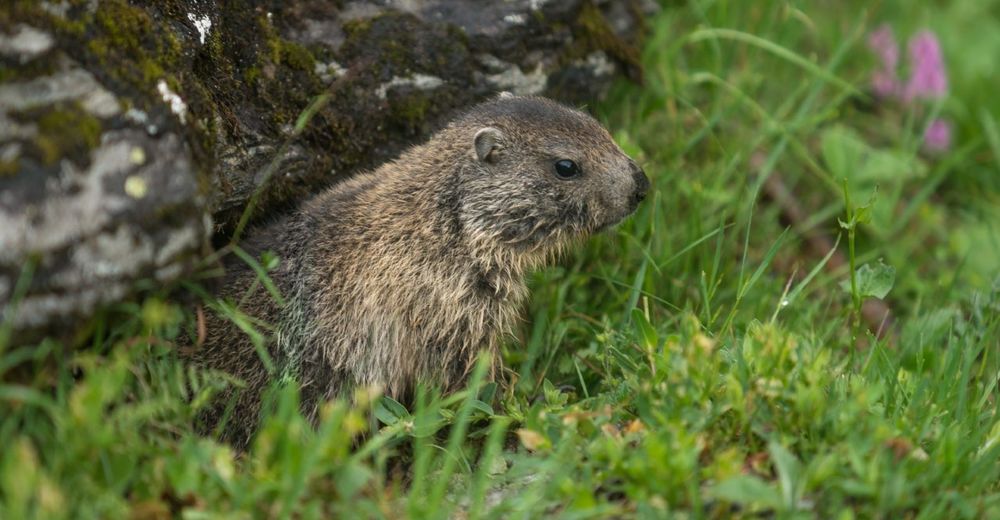
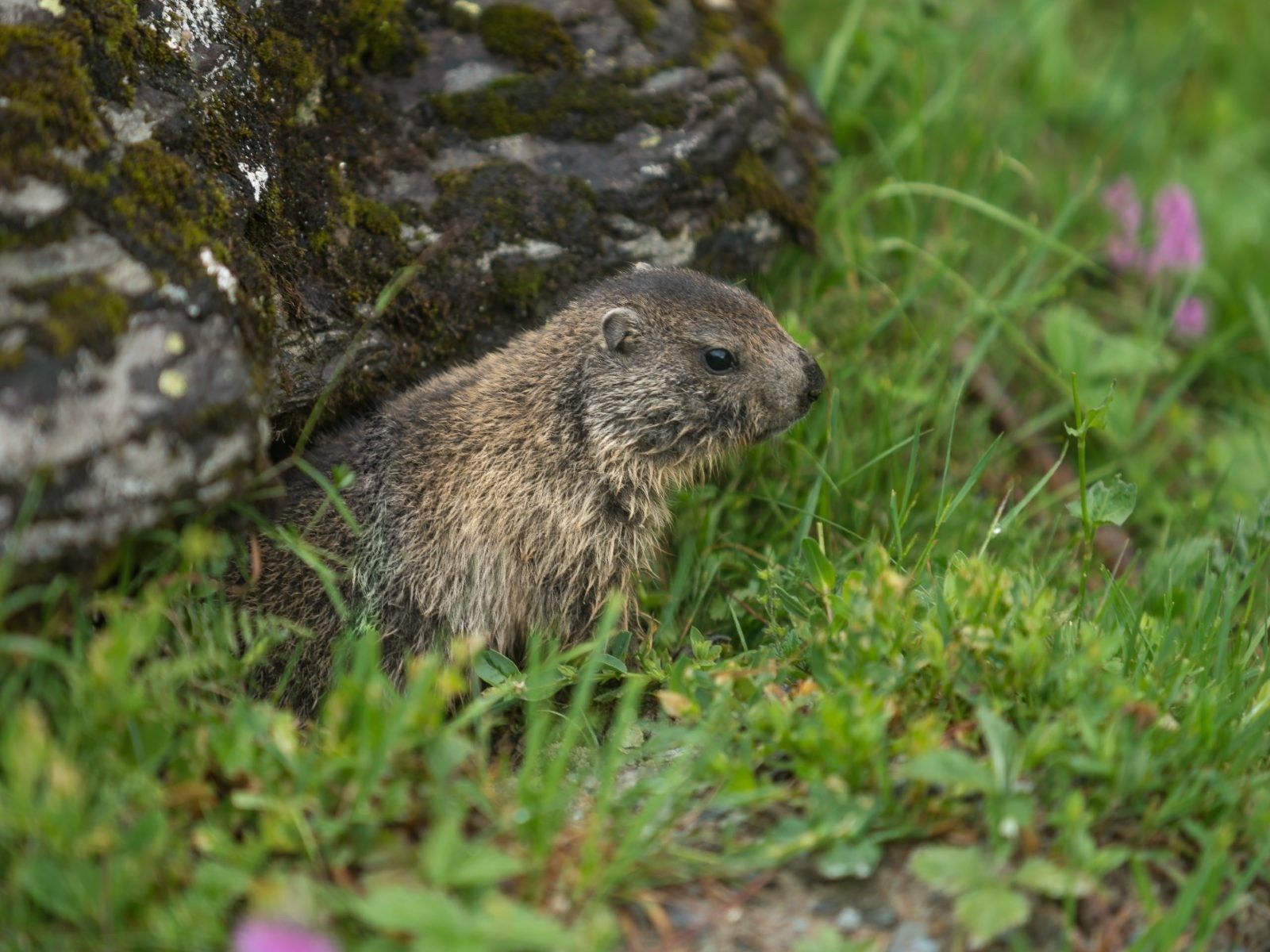
Fauna
Flere ture i regionerne
-
Glarnerland
1972
-
Lumnezia
612
-
Vella / Lumnezia
250