© Outdooractive – 3D Videos

- Kort beskrivelse
-
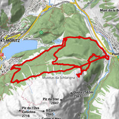
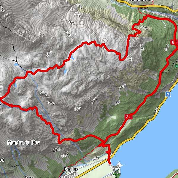
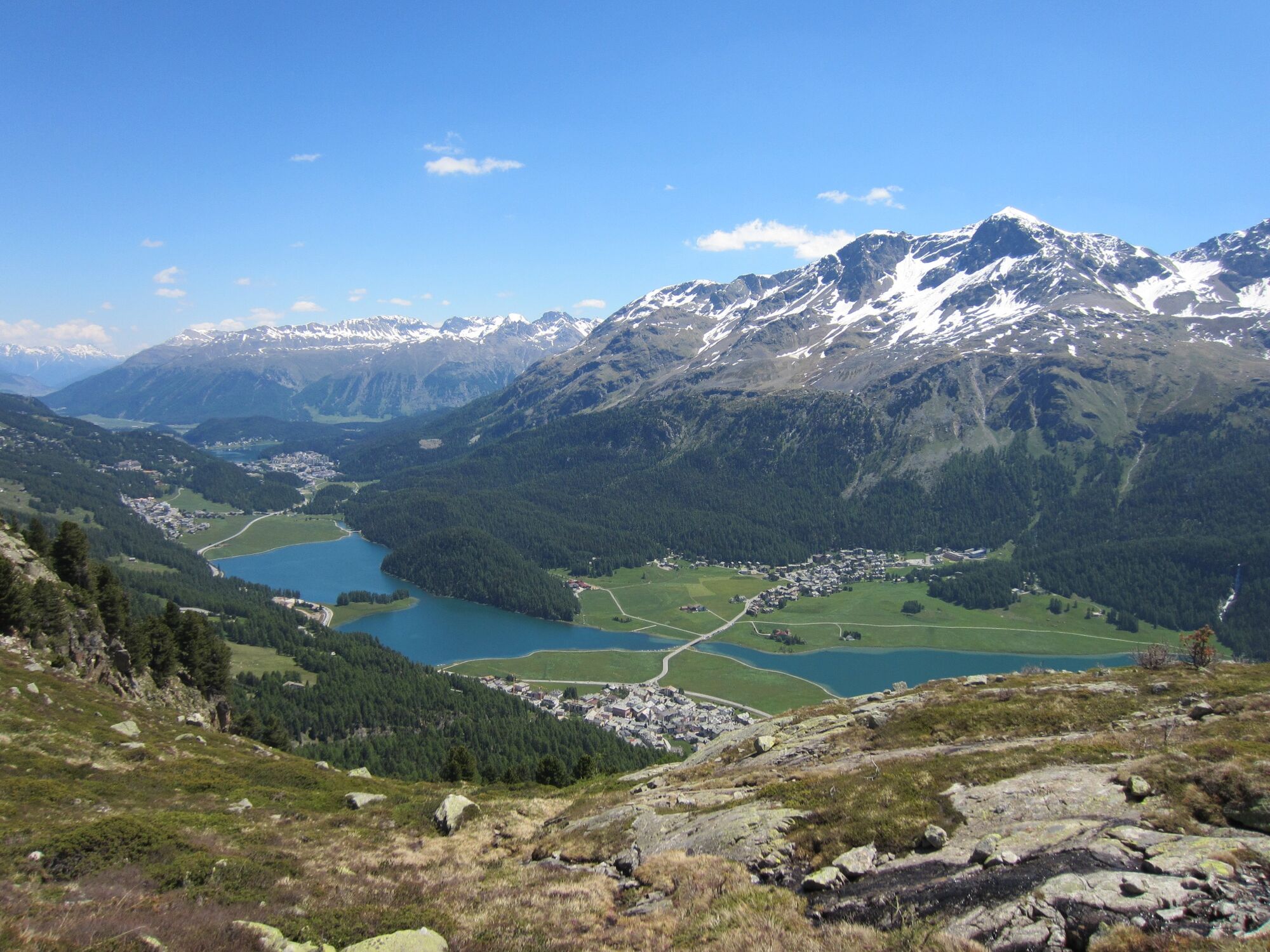
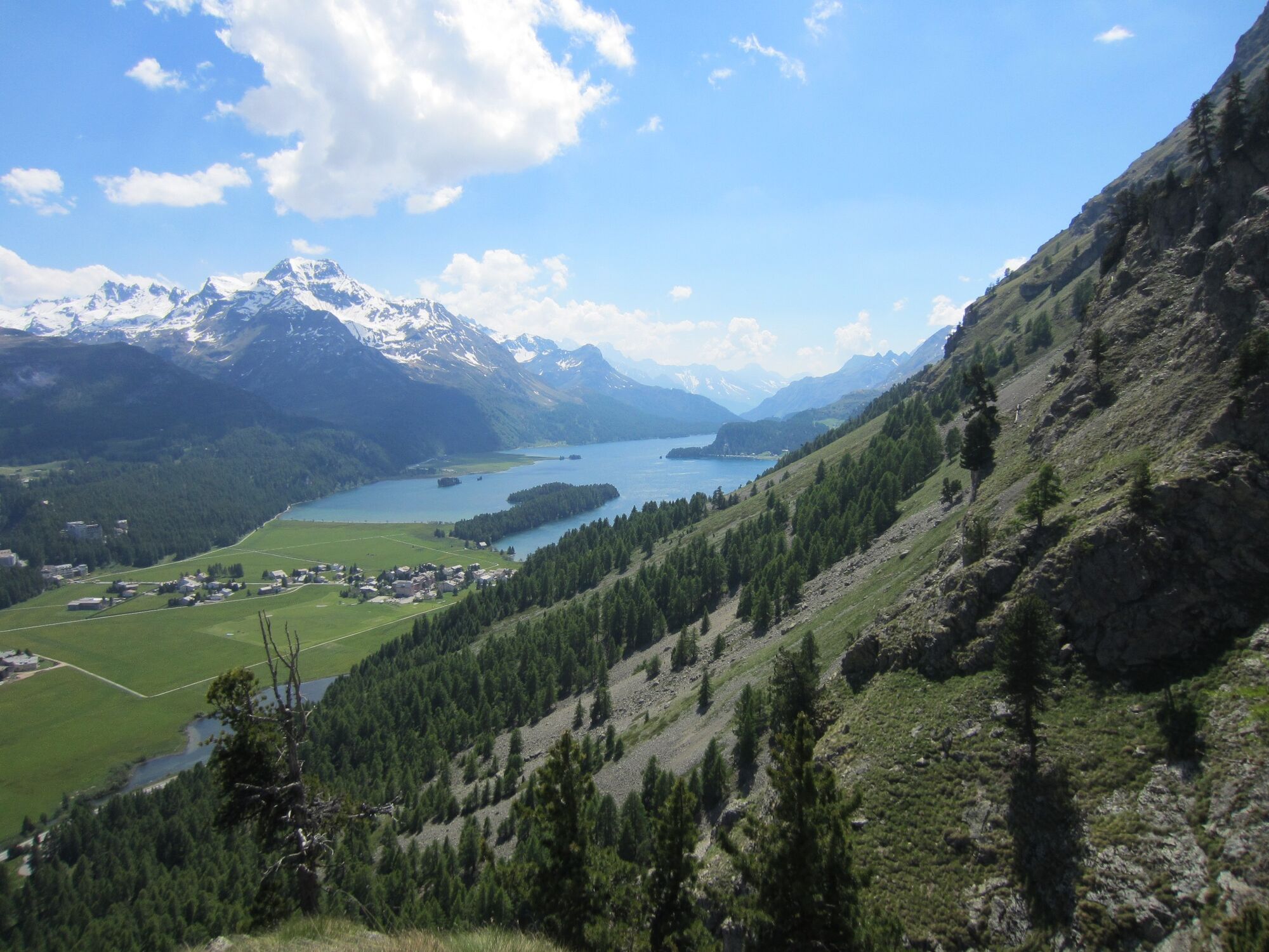
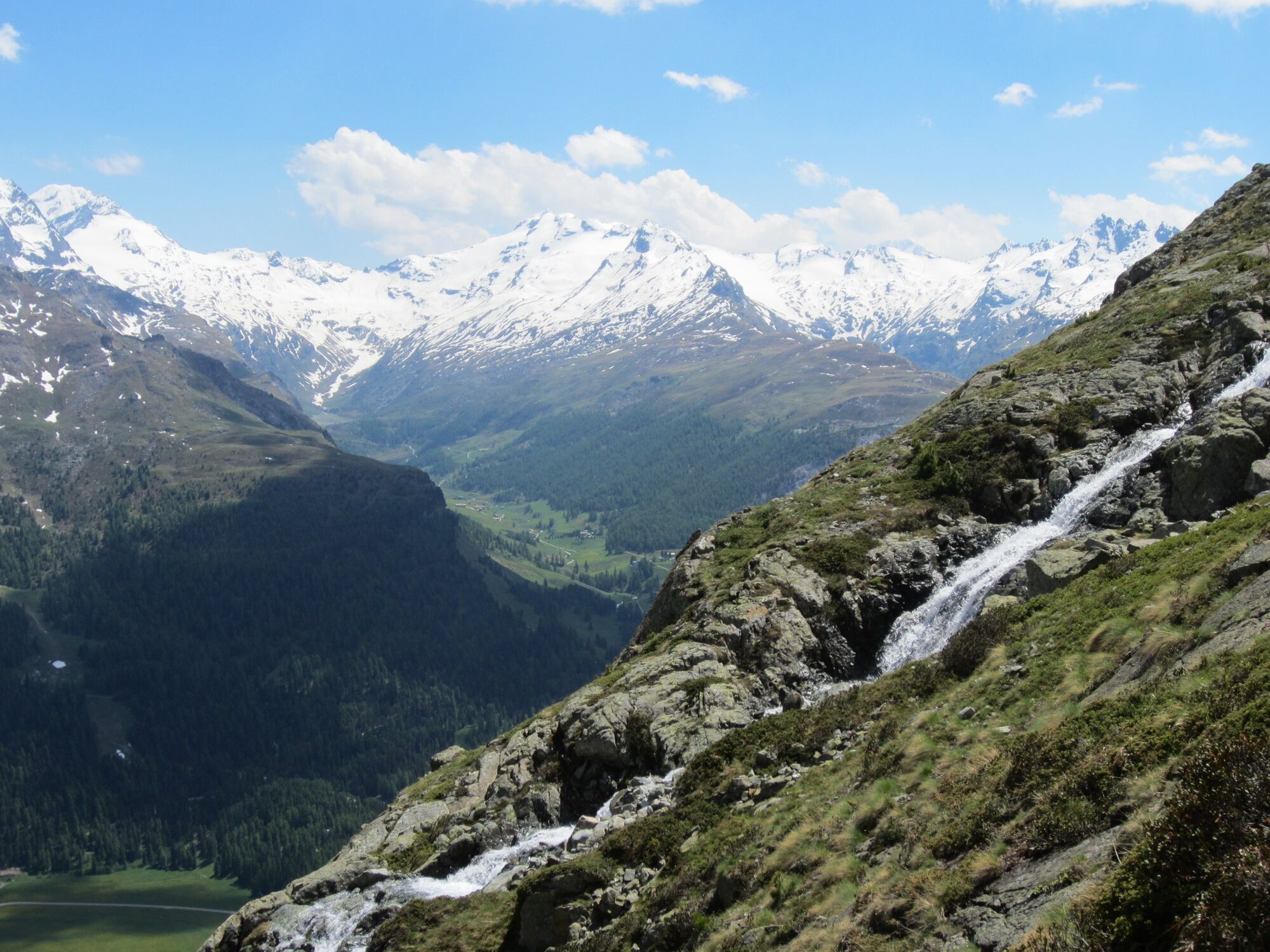
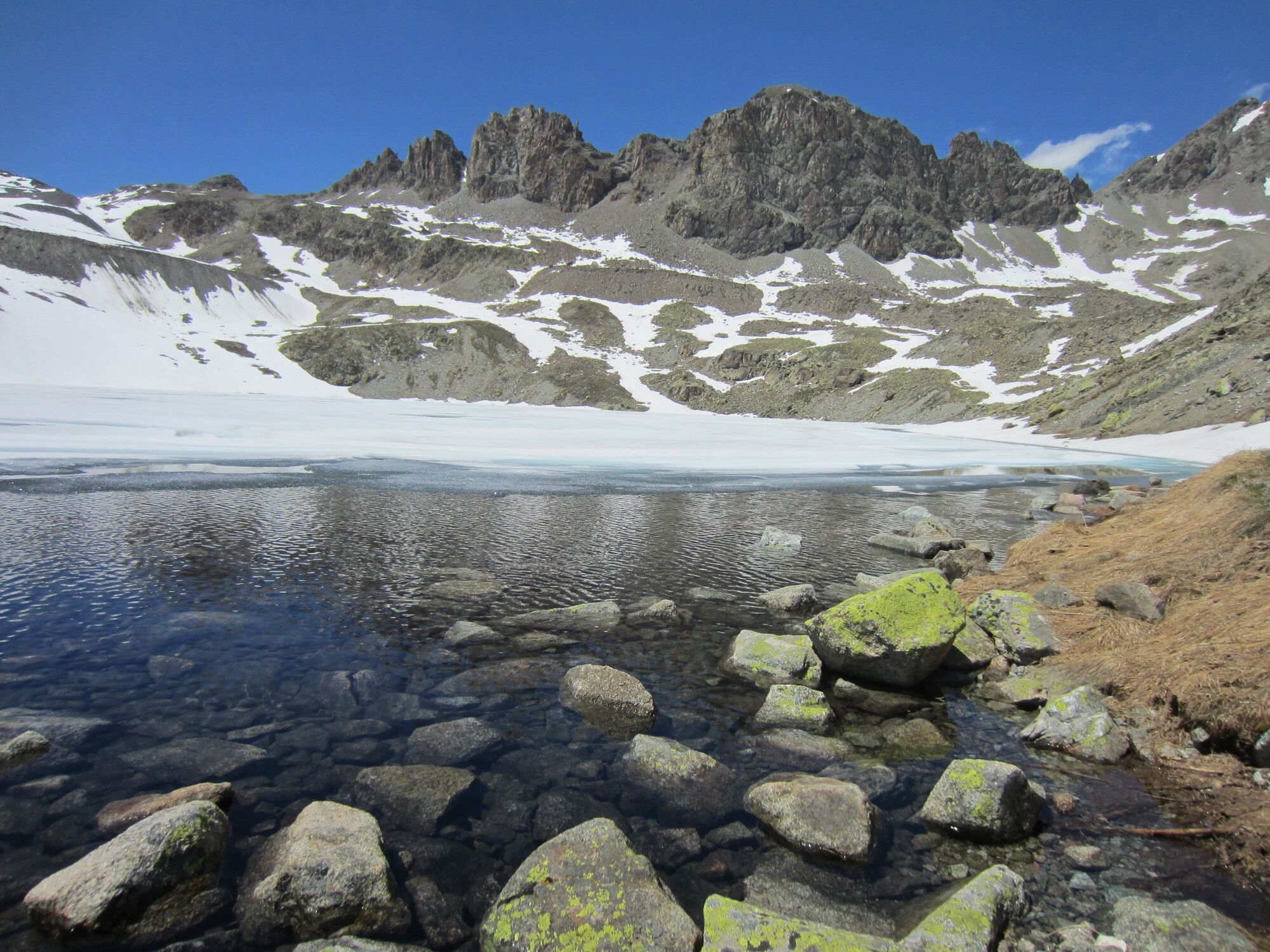
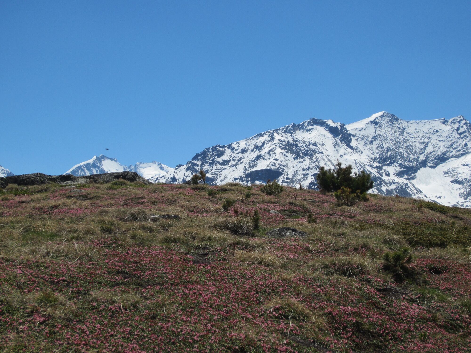
A scenic hike high above the Silvaplaner lake with a steep ascent to a hidden jewel, the enchanting mountain lake Lej da la Tscheppa.
- Sværhedsgrad
-
medium
- Evaluering
-
- Bedste sæson
-
janfebmaraprmajjunjulaugsepoktnovdec
- Højeste punkt
- 2.622 m
- Destination
-
Sils Maria
- Højdeprofil
-
 © outdooractive.com
- Forfatter
-
Rundvisningen Sils - Lej da la Tscheppa - Sils bruges af outdooractive.com forudsat.
GPS Downloads


Generel information
Forfriskningsstop
Kulturel/Historisk
Lovende
Flere ture i regionerne
-
Veltlin / Valtellina
852
-
Engadin St. Moritz
782
-
Silvaplana
338