


- Kort beskrivelse
-
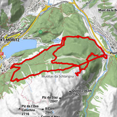
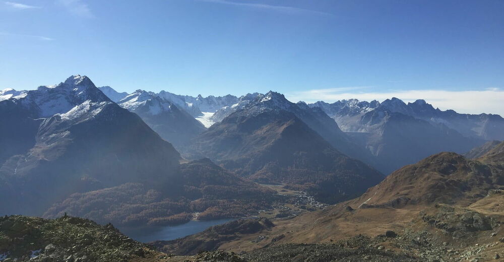
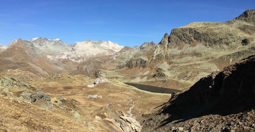
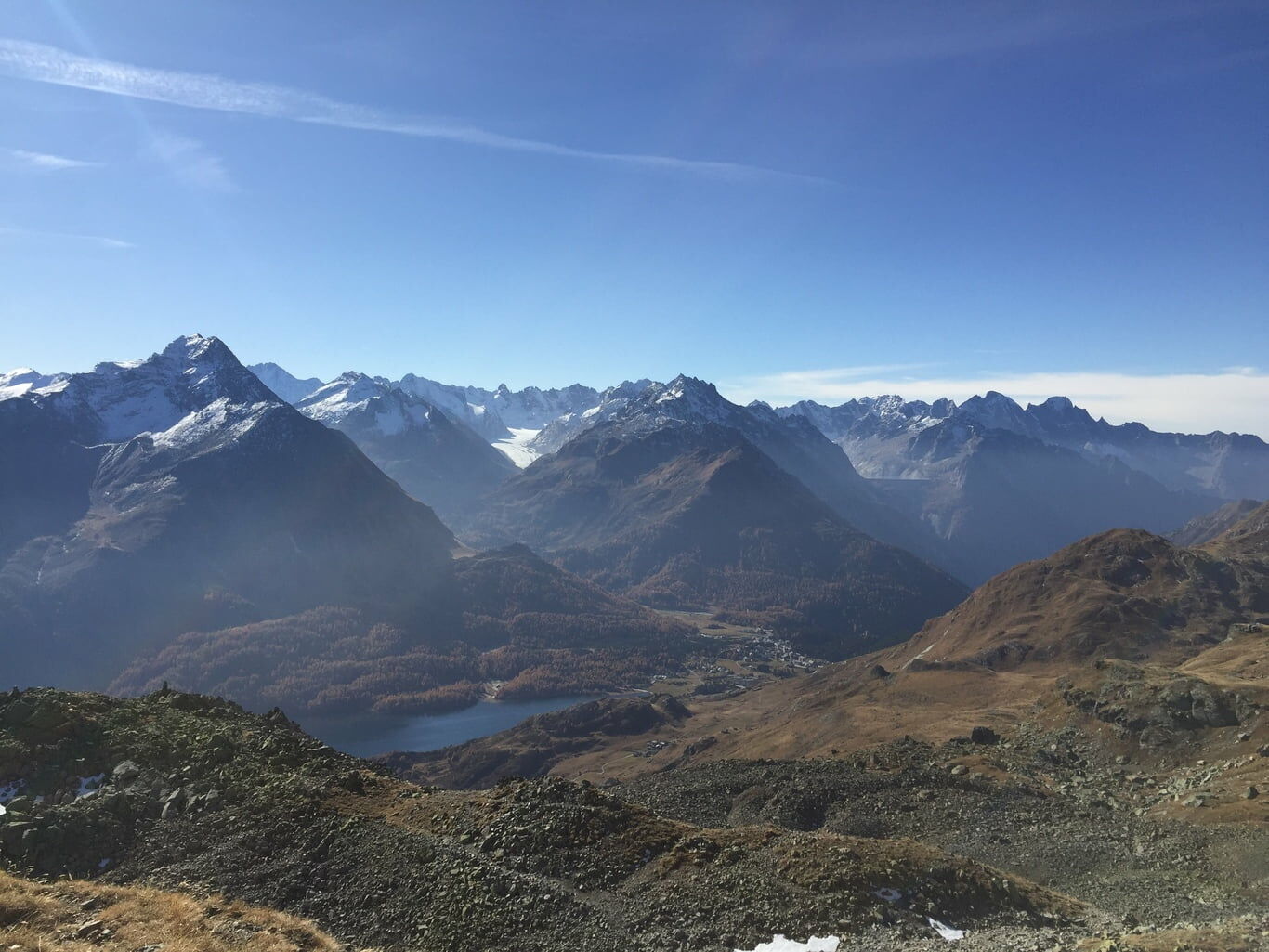
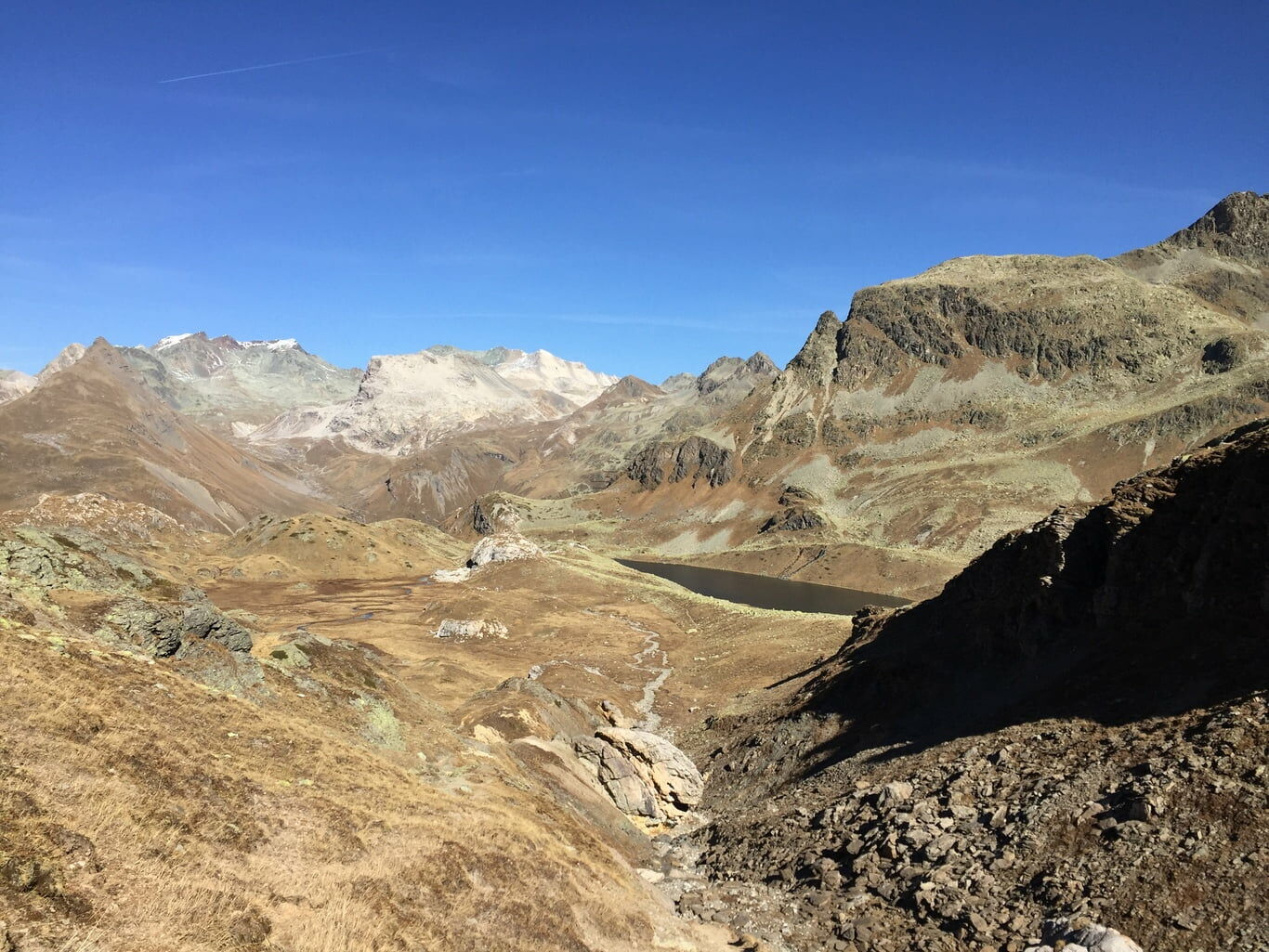
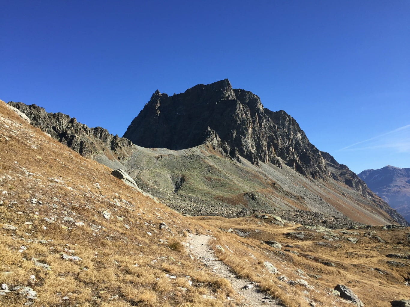
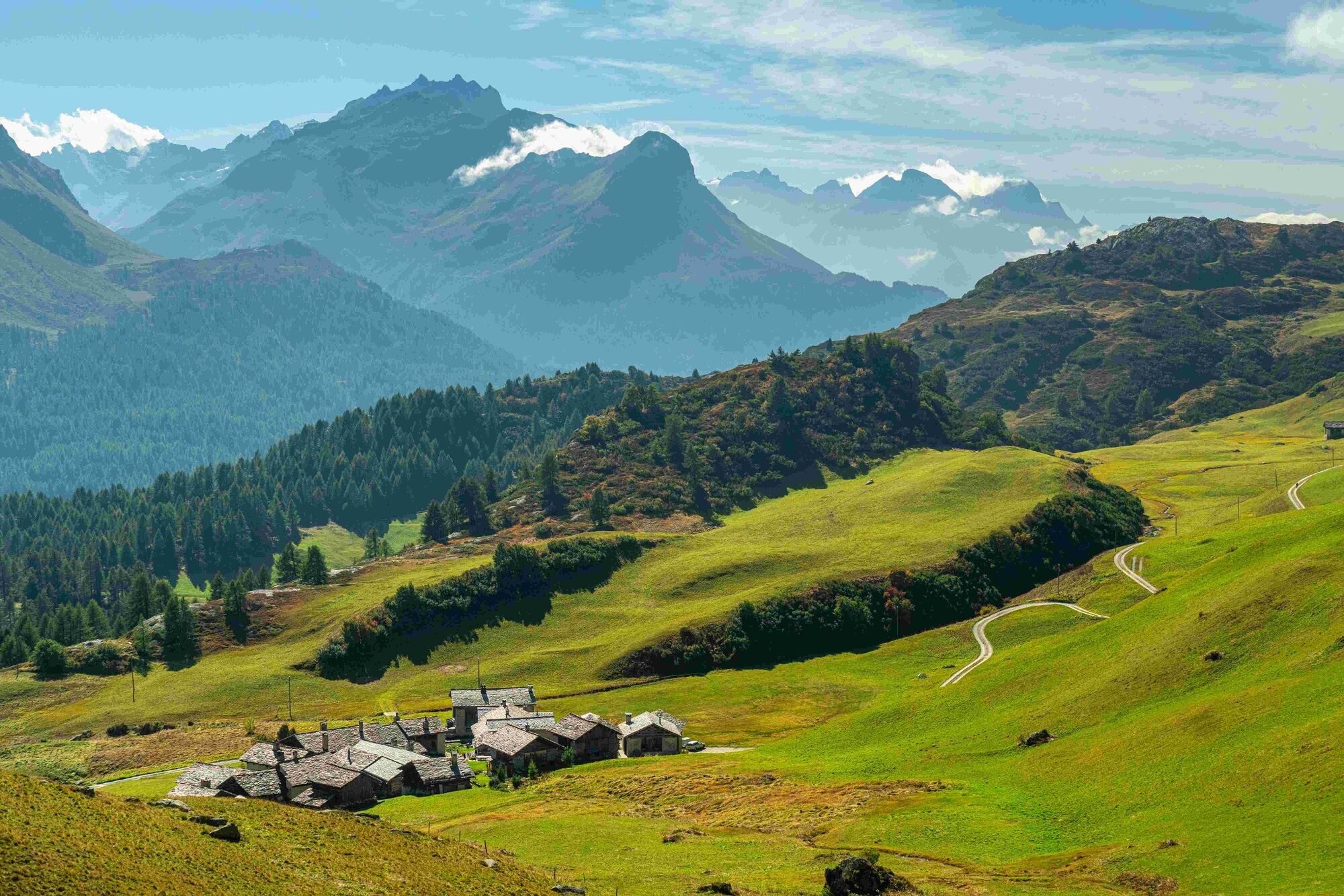
Impressive landscape between the Julier Pass and the Engadin.
- Sværhedsgrad
-
tung
- Evaluering
-
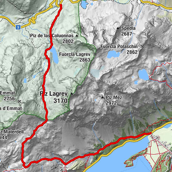
- Rute
-
Ospiz da Giüglia (2.237 m)Pignoulas10,5 kmClos10,6 km
- Bedste sæson
-
janfebmaraprmajjunjulaugsepoktnovdec
- Højeste punkt
- 2.673 m
- Destination
-
Sils Baselgia
- Højdeprofil
-
 © outdooractive.com
- Forfatter
-
Rundvisningen Julier Pass - Fuorcla Grevasalvas - Sils bruges af outdooractive.com forudsat.
GPS Downloads


Generel information
Lovende
Flere ture i regionerne
-
Veltlin / Valtellina
852
-
Engadin St. Moritz
782
-
Isola
282