© Engadin Samnaun Val Müstair - Schweizerischer Nationalpark / Hans Lozza

© Outdooractive – 3D Videos

© Engadin Samnaun Val Müstair - Schweizerischer Nationalpark / Hans Lozza.

© Engadin Samnaun Val Müstair - Schweizerischer Nationalpark / Hans Lozza

© Engadin Samnaun Val Müstair - Schweizerischer Nationalpark / Hans Lozza

© Engadin Samnaun Val Müstair - Schweizerischer Nationalpark / Hans Lozza

© Engadin Samnaun Val Müstair - Schweizerischer Nationalpark / Hans Lozza

© Engadin Samnaun Val Müstair - Schweizerischer Nationalpark / Hans Lozza

© Engadin Samnaun Val Müstair - Schweizerischer Nationalpark / Hans Lozza

© Engadin Samnaun Val Müstair - Schweizerischer Nationalpark / Hans Lozza


- Kort beskrivelse
-
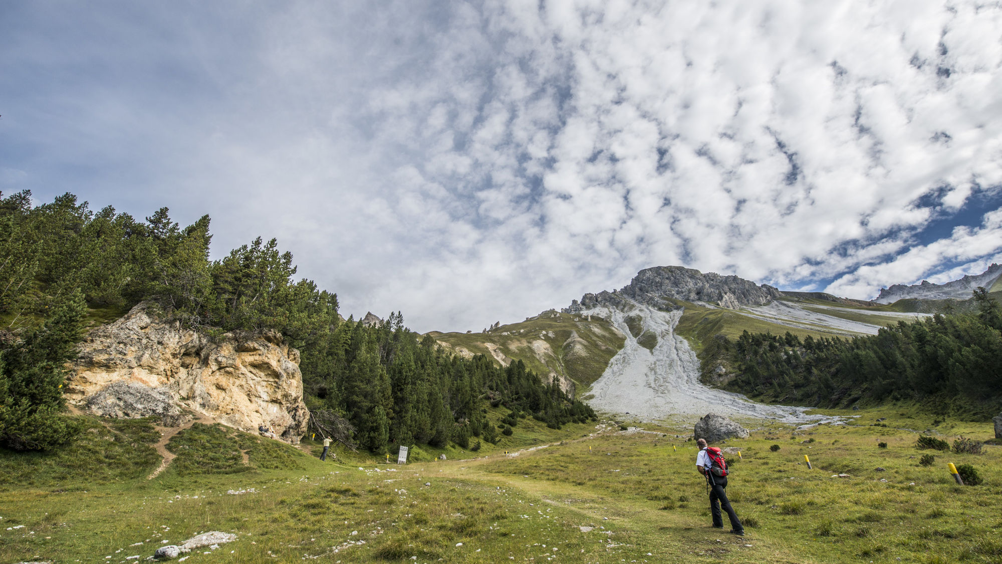
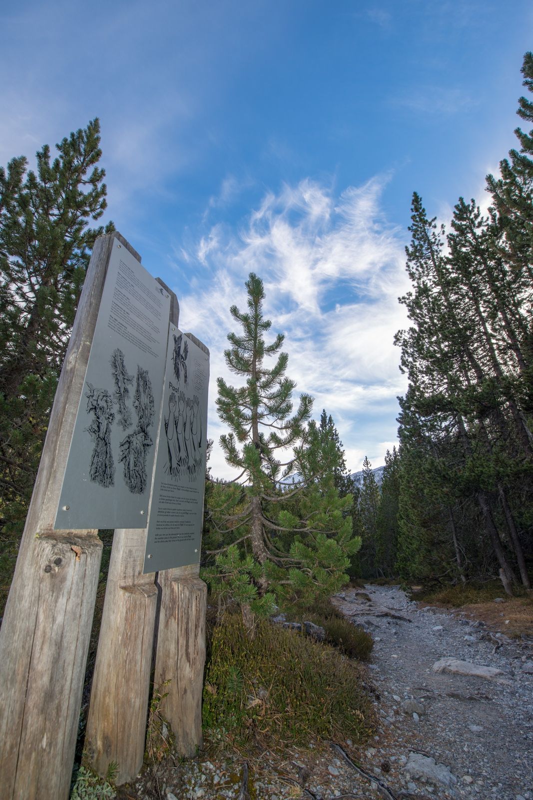
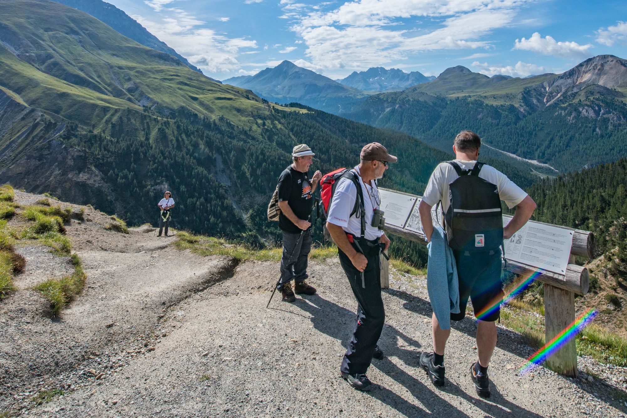
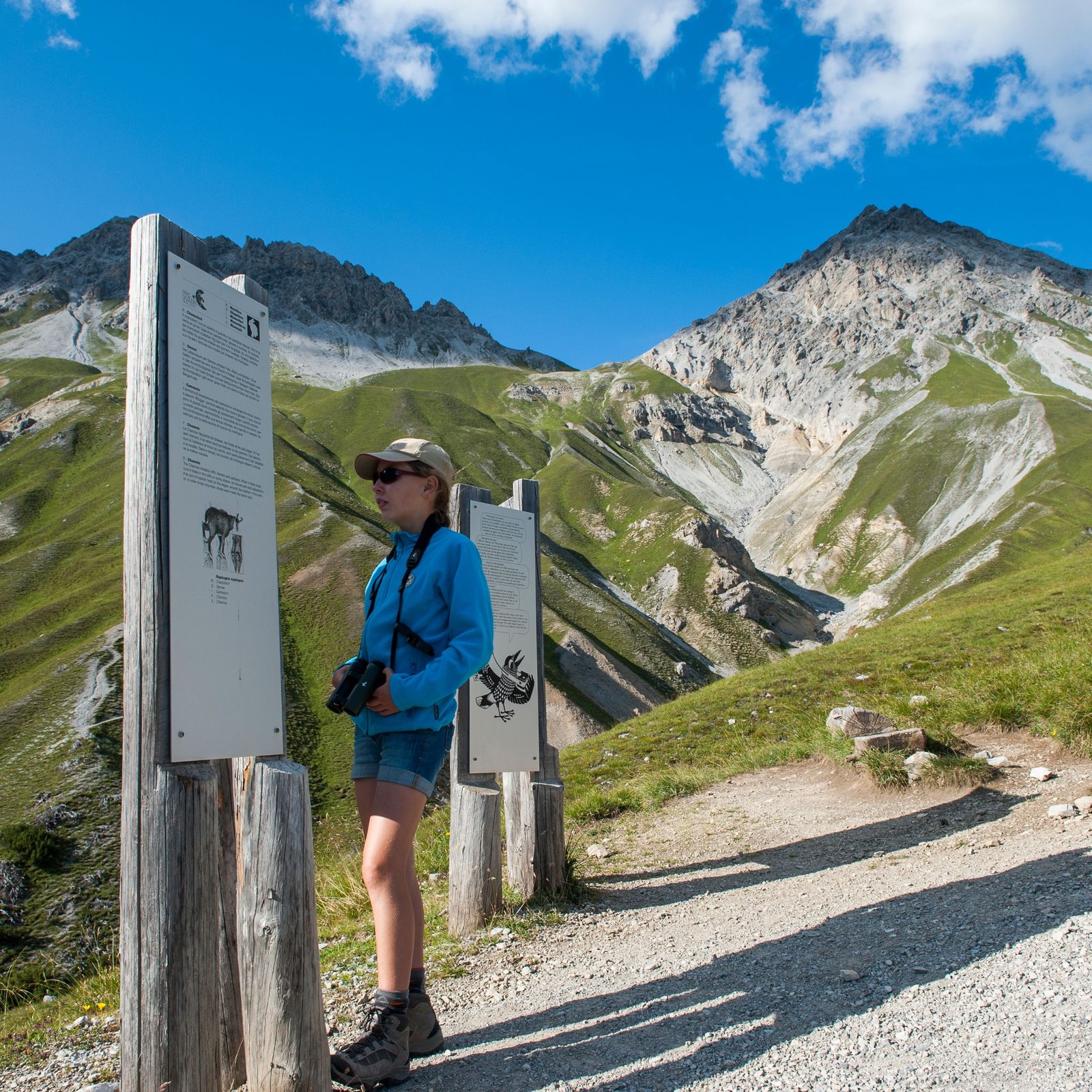
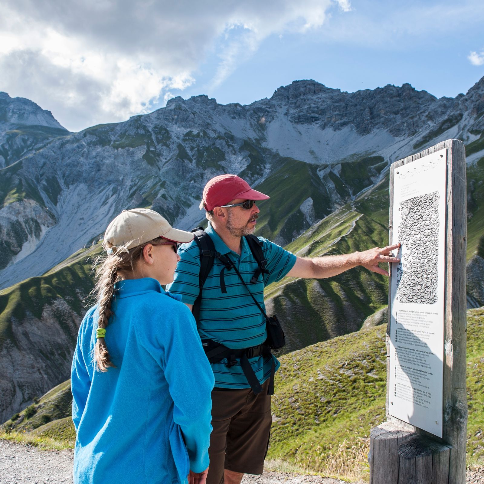
The classic park hiking route runs along the nature trail. From the historic forests of the Ofen Pass region to Alp Stabelchod and the phenomenal Margunet vantage point, it has it all.
- Sværhedsgrad
-
medium
- Evaluering
-
- Rute
-
Stabelchod0,9 kmMargunet (2.328 m)3,3 kmHotel Parc Naziunal Il Fuorn7,6 kmIl Fuorn7,7 km
- Bedste sæson
-
janfebmaraprmajjunjulaugsepoktnovdec
- Højeste punkt
- 2.328 m
- Destination
-
Post bus stop Stabelchod (P8) (1887 m ü.M.)
- Højdeprofil
-
 © outdooractive.com


- Forfatter
-
Rundvisningen Margunet (nature trail in the Swiss National Park) bruges af outdooractive.com forudsat.
GPS Downloads


Generel information
Flora
Fauna
Lovende
Flere ture i regionerne
-
Engadin Samnaun Val Müstair
559
-
Tschierv
148