© Engadin Samnaun Val Müstair - Andrea Badrutt, Chur

© Engadin Samnaun Val Müstair - Andrea Badrutt, Chur

© Engadin Samnaun Val Müstair - Andrea Badrutt, Chur

- Kort beskrivelse
-
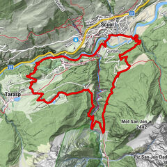
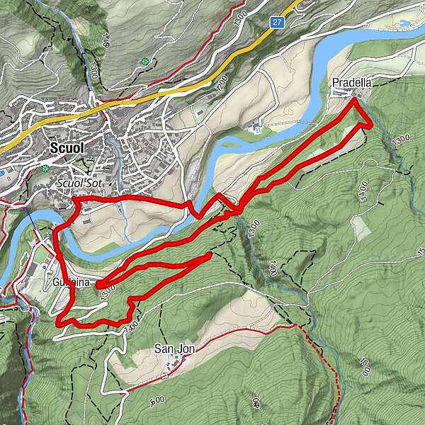
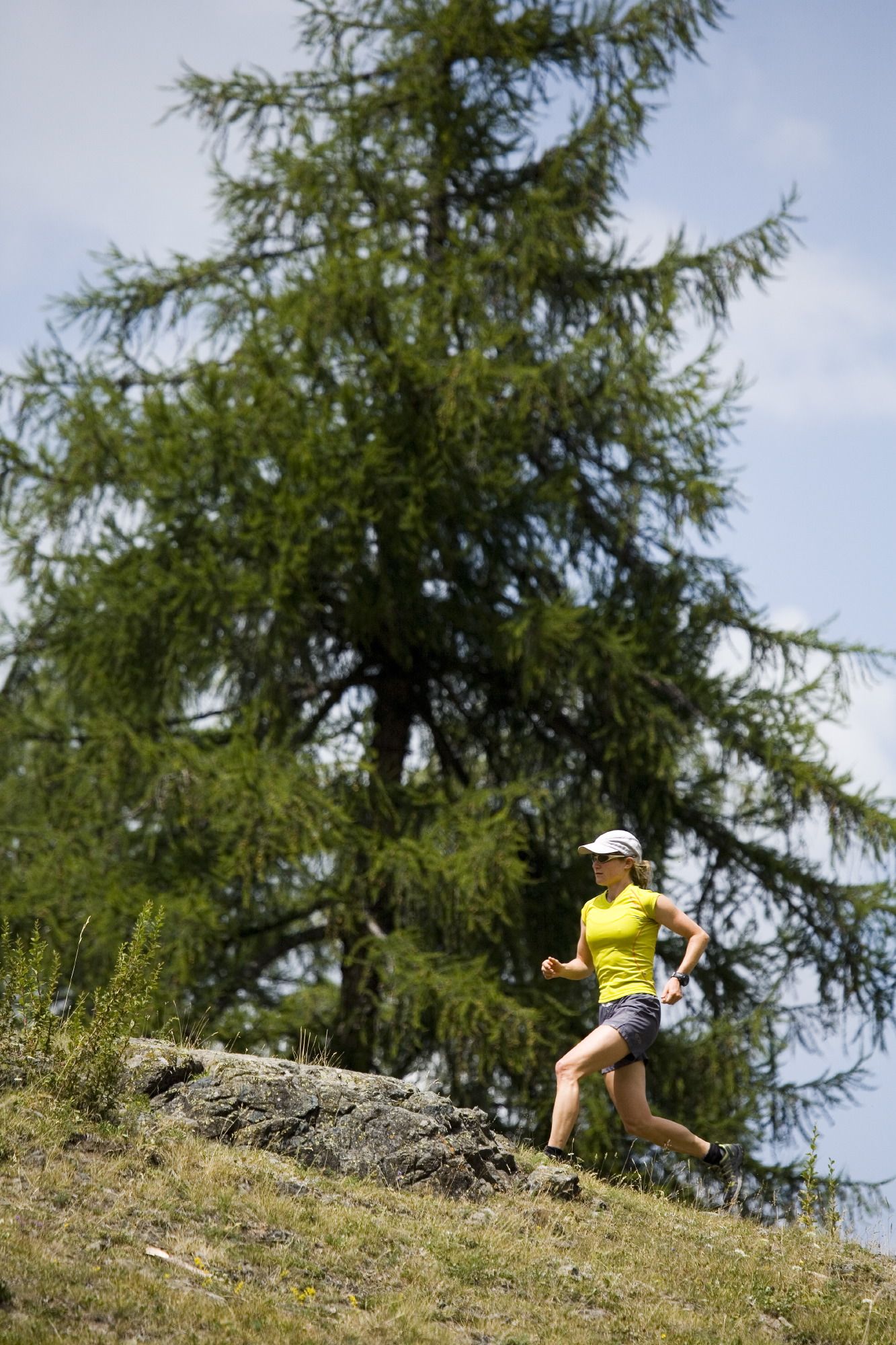
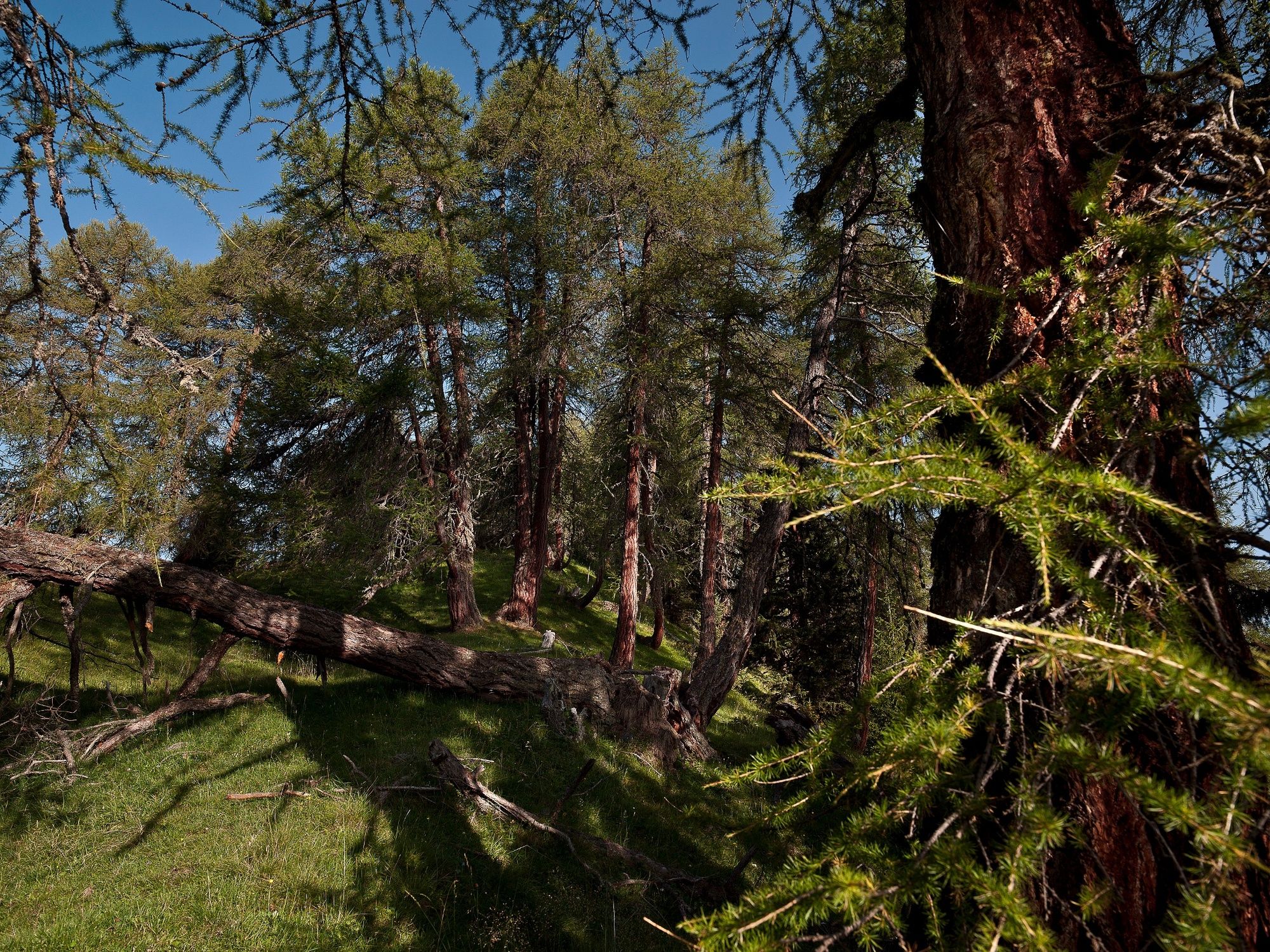
7.5 höhenmeterintensive Kilometer im Wald oberhalb von Scuol. Die Tour verläuft abwechslungsreich über Waldwege, verwurzelte Pfade (Konzentration gefordert) und Schotterstrassen. Steile Anstiege wechseln sich dabei mit längeren flachen Stücken ab.
- Sværhedsgrad
-
medium
- Evaluering
-
- Rute
-
Scuol (1.250 m)Pradella4,8 kmScuol (1.250 m)7,5 km
- Bedste sæson
-
janfebmaraprmajjunjulaugsepoktnovdec
- Højeste punkt
- 1.380 m
- Destination
-
PostAuto-Haltestelle Scuol, Plaz
- Højdeprofil
-
 © outdooractive.com
- Forfatter
-
Rundvisningen Kurz und gut - God sot San Jon und Plan Grond bruges af outdooractive.com forudsat.
GPS Downloads


Flere ture i regionerne
-
Engadin Scuol Zernez
53
-
Scuol
15