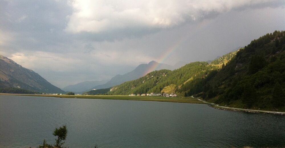
© Engadin Tourismus AG - Sils Tourismus
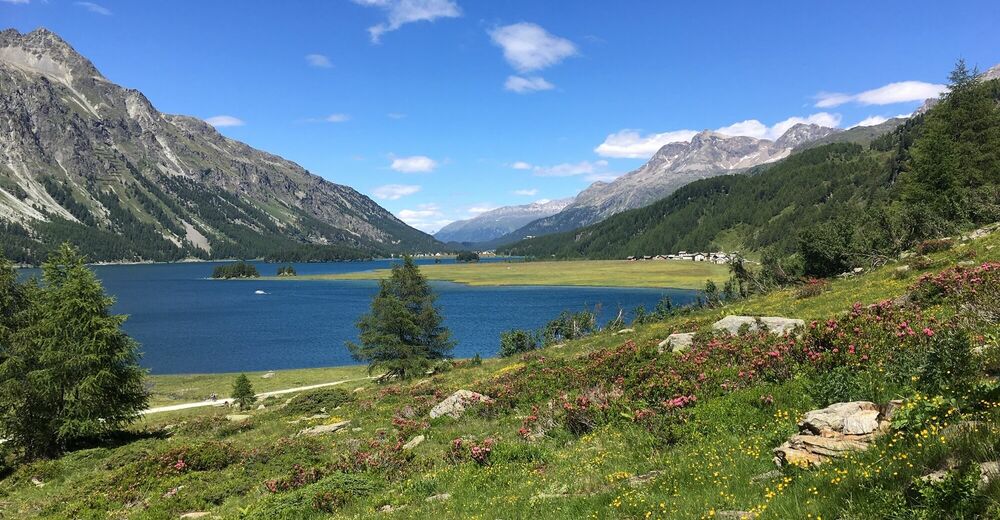
© Engadin Tourismus AG - Sils Tourismus


- Kort beskrivelse
-
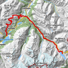
Varied E-mountain bike tour along the unique Lake Sils
- Sværhedsgrad
-
medium
- Evaluering
-
- Rute
-
Sils im Engadin (1.803 m)Christ-König-Kirche0,1 kmCrastas Dadour0,2 kmCrastas0,2 kmCrastas Dadains0,3 kmBraschunaing0,9 kmChesa Pool2,0 kmPlatta2,1 kmPetpreir4,0 kmPlan Cuncheta7,4 kmCresta8,2 kmKirche St. Peter und Paul8,9 kmSchweizerhaus9,0 kmMaloja Posta9,1 kmMaloja (1.809 m)10,4 kmLa Motta11,1 kmPlan Cuncheta12,0 kmIsola (See) (1.810 m)13,8 kmIsola (1.811 m)14,4 kmReformierte Kirche17,7 kmSils im Engadin (1.803 m)17,9 km
- Bedste sæson
-
janfebmaraprmajjunjulaugsepoktnovdec
- Højeste punkt
- 2.002 m
- Destination
-
Sils Maria
- Højdeprofil
-
 © outdooractive.com


- Forfatter
-
Rundvisningen Sils - Maloja - Isola - Sils (E-Mountainbike) bruges af outdooractive.com forudsat.
GPS Downloads


Generel information
Forfriskningsstop
Kulturel/Historisk
Flora
Lovende
Flere ture i regionerne
-
Veltlin / Valtellina
48
-
Engadin St. Moritz
60
-
Isola
20