

- Kort beskrivelse
-
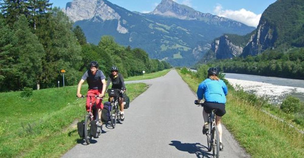
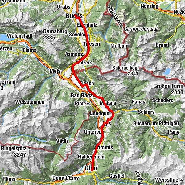
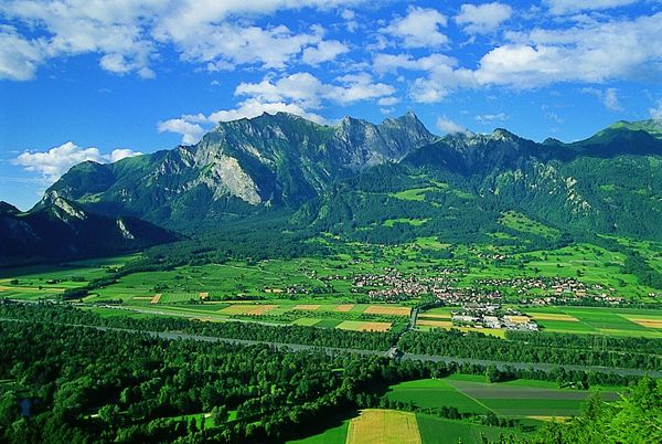
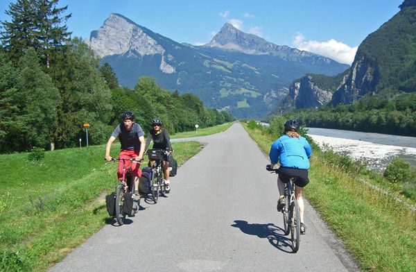
The Rhine route accompanies the Alpine river from its source in the mountains to the large Rhine ports of Basel. On varied paths, the journey leads through many landscapes that this powerful river has created over the course of time.
- Sværhedsgrad
-
medium
- Evaluering
-
- Rute
-
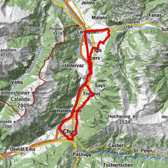
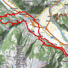
Chur (593 m)Masans2,1 kmRestaurant Bahnhöfli2,7 kmHaldenstein (566 m)2,8 kmSportcenter Fünf Dörfer8,2 kmBöfelihof11,0 kmIgis (563 m)12,7 kmErlahof13,8 kmAlte Mühle17,7 kmMalans (568 m)18,4 kmReformierte Kirche Malans18,6 kmJenins (635 m)21,1 kmReformierte Kirche21,3 kmMaienfeld (504 m)23,4 kmFläsch (528 m)26,1 kmTrübbach34,0 kmBuchs (448 m)46,8 km
- Bedste sæson
-
janfebmaraprmajjunjulaugsepoktnovdec
- Højeste punkt
- 626 m
- Destination
-
Buchs
- Højdeprofil
-
 © outdooractive.com
- Forfatter
-
Rundvisningen Rhine-Route No. 2: Section 3 Chur - Buchs (SG) bruges af outdooractive.com forudsat.
GPS Downloads
Generel information
Forfriskningsstop
Flere ture i regionerne
-
Heidiland
155
-
Bündner Herrschaft
87
-
Maienfeld
34