© Chur - Die Alpenstadt - Michael Christ

- Kort beskrivelse
-
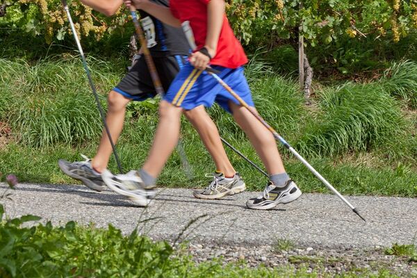
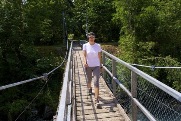
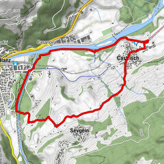
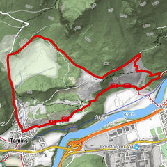
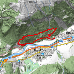
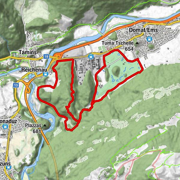
The Domat / Ems Trail (blue signage) is about 12 km long with a height difference of almost 300 meters.
- Sværhedsgrad
-
medium
- Evaluering
-
- Bedste sæson
-
janfebmaraprmajjunjulaugsepoktnovdec
- Højeste punkt
- 743 m
- Destination
-
Domat/Ems
- Højdeprofil
-
 © outdooractive.com
-

-
ForfatterRundvisningen rhiienergie Trail Domat/Ems bruges af outdooractive.com forudsat.
GPS Downloads


Flere ture i regionerne
-
Heidiland
7
-
Chur und Rheintal
12
-
Bonaduz
6