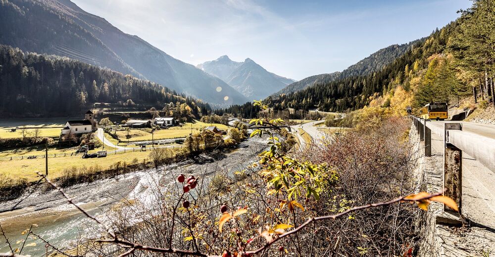
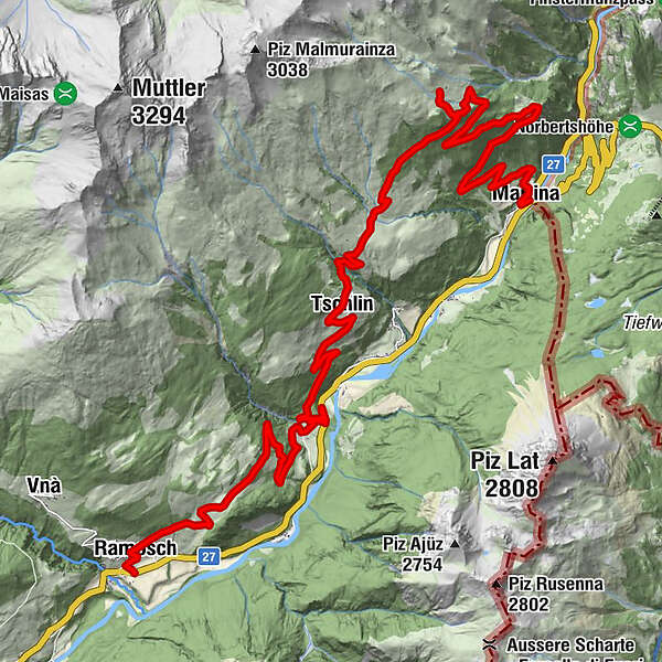
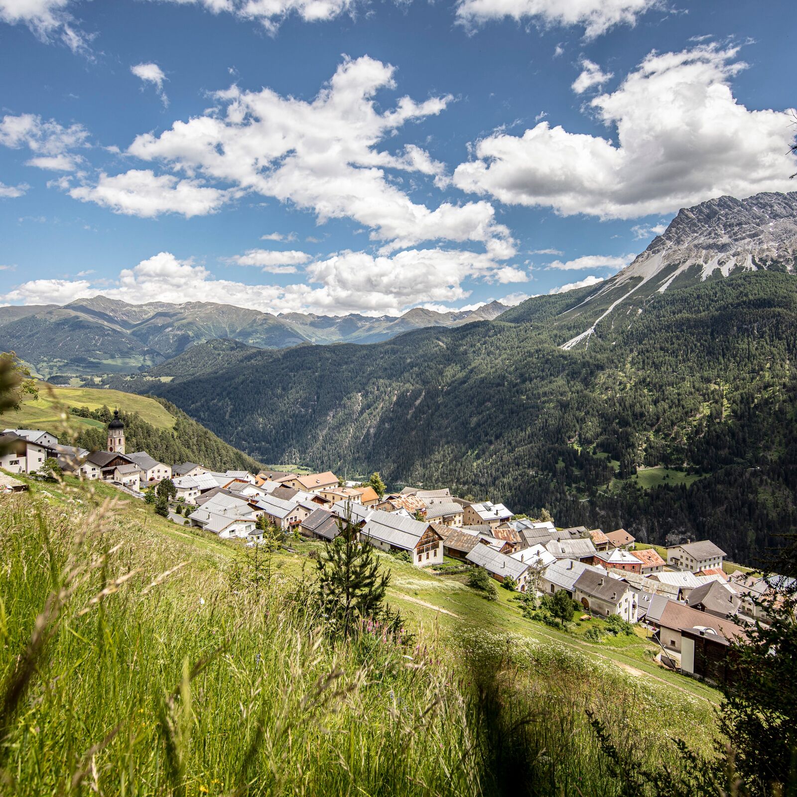
442.03 Regional Bike Route Engiadina Bassa: Ramosch – Martina

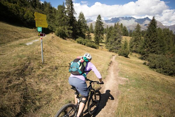
Mountainbike
© Engadin Samnaun Val Müstair - Andrea Badrutt, Chur
© Engadin Samnaun Val Müstair - Andrea Badrutt, Chur
© Engadin Samnaun Val Müstair - Andrea Badrutt, Chur
© Andrea Badrutt
© Engadin Samnaun Val Müstair - Andrea Badrutt, Chur

- Kort beskrivelse
- Sværhedsgrad
-
tung
- Evaluering
-
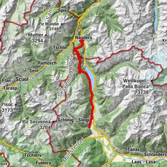
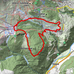
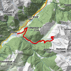
- Rute
-
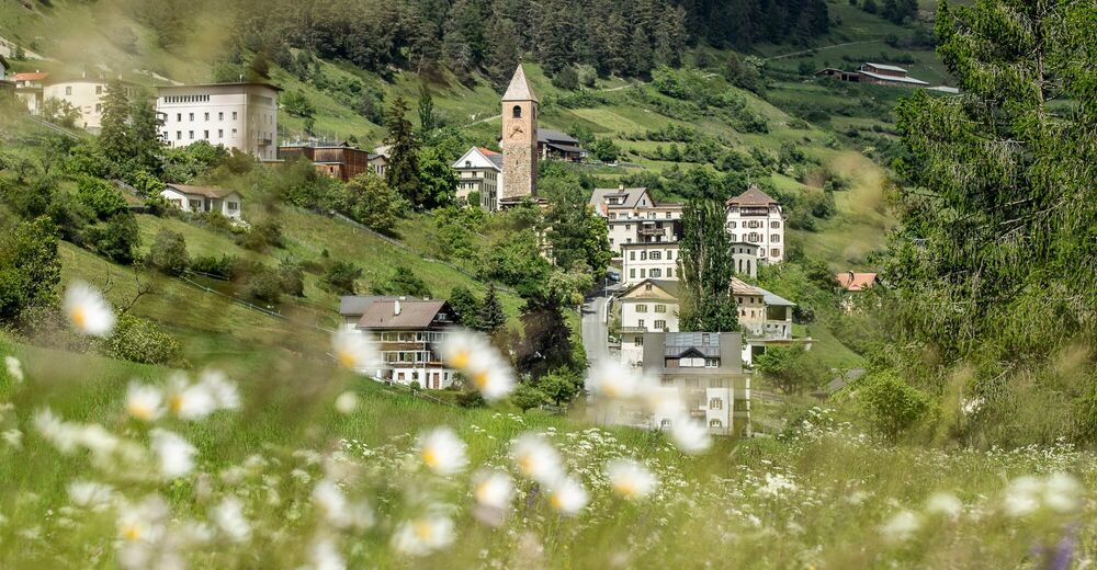
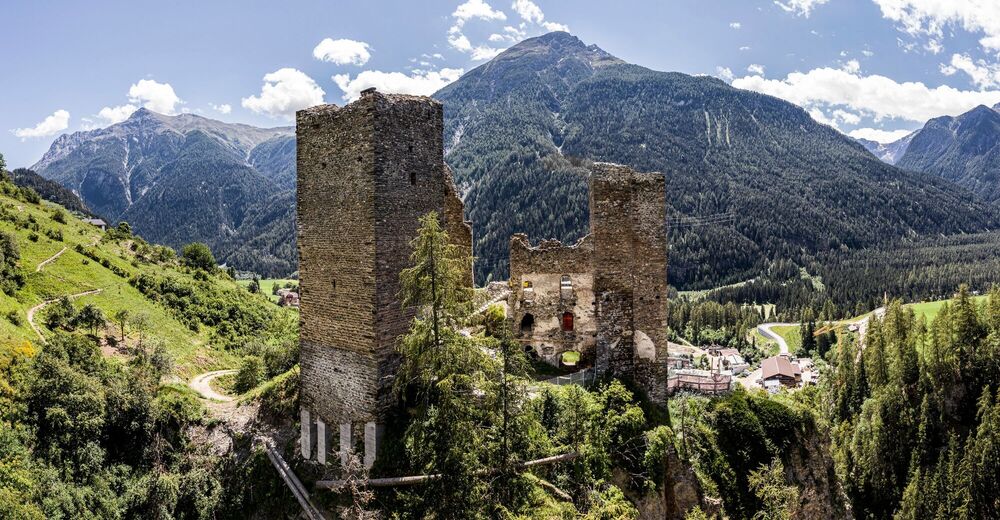
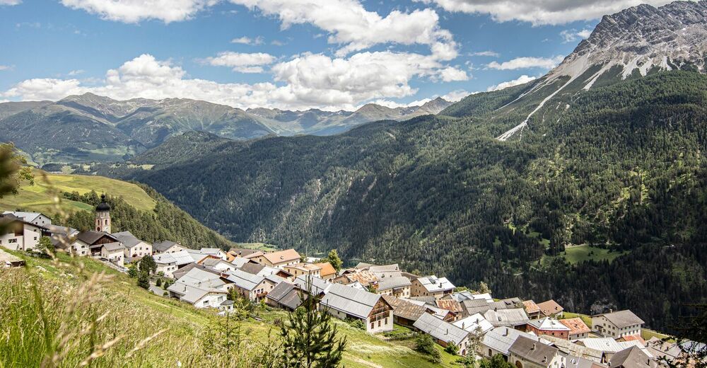
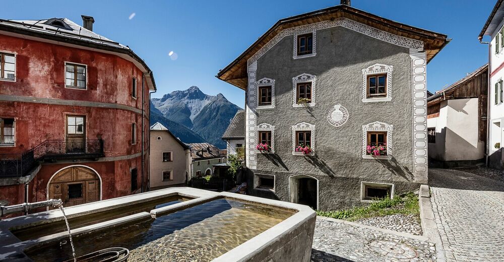
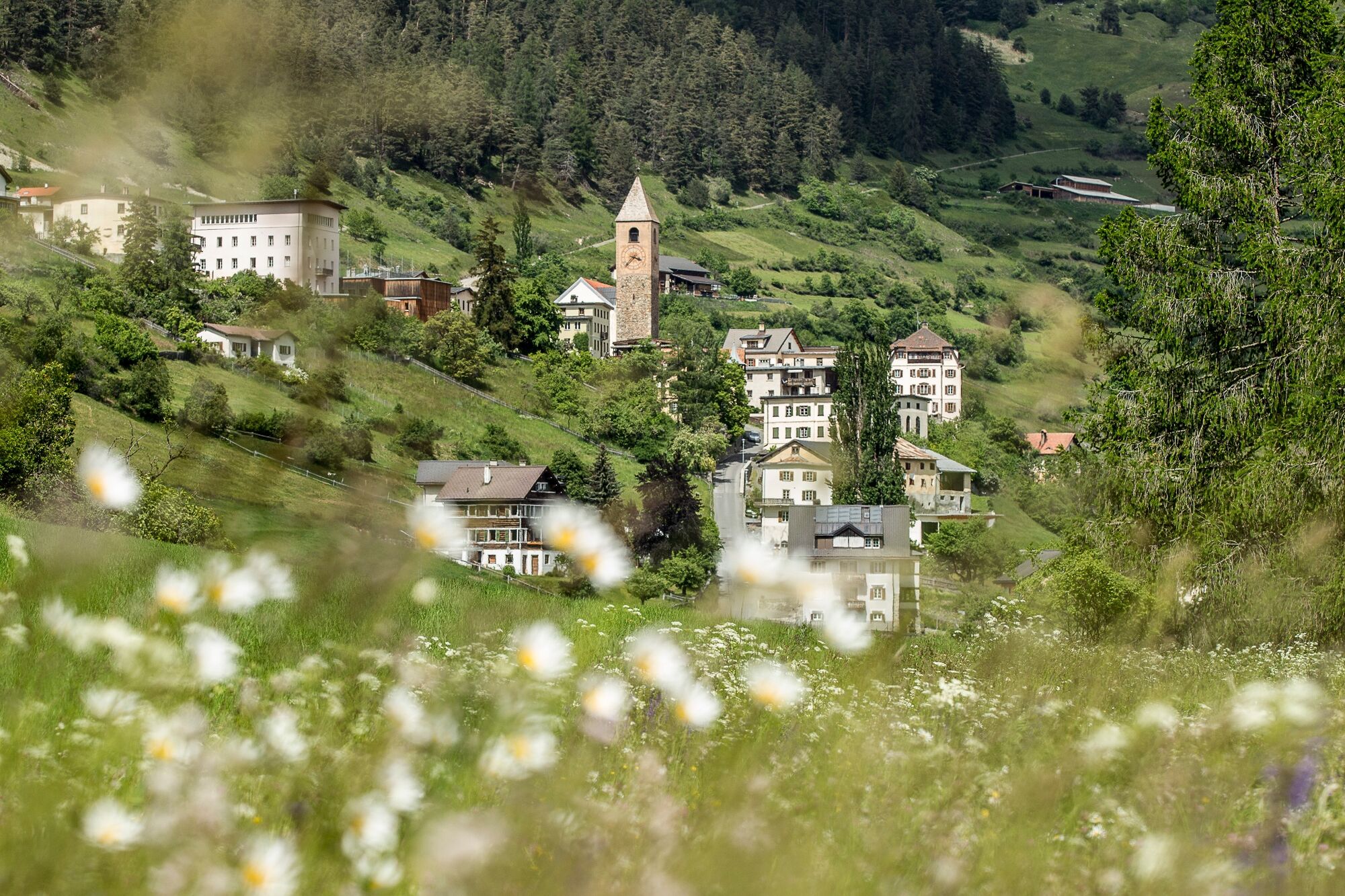
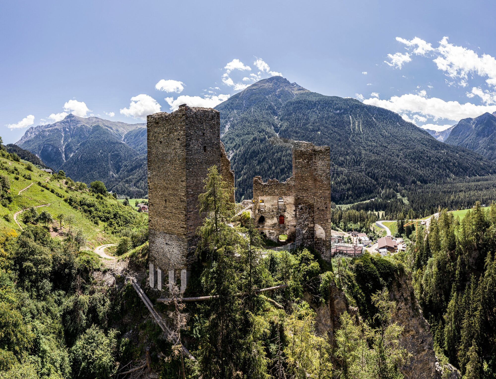
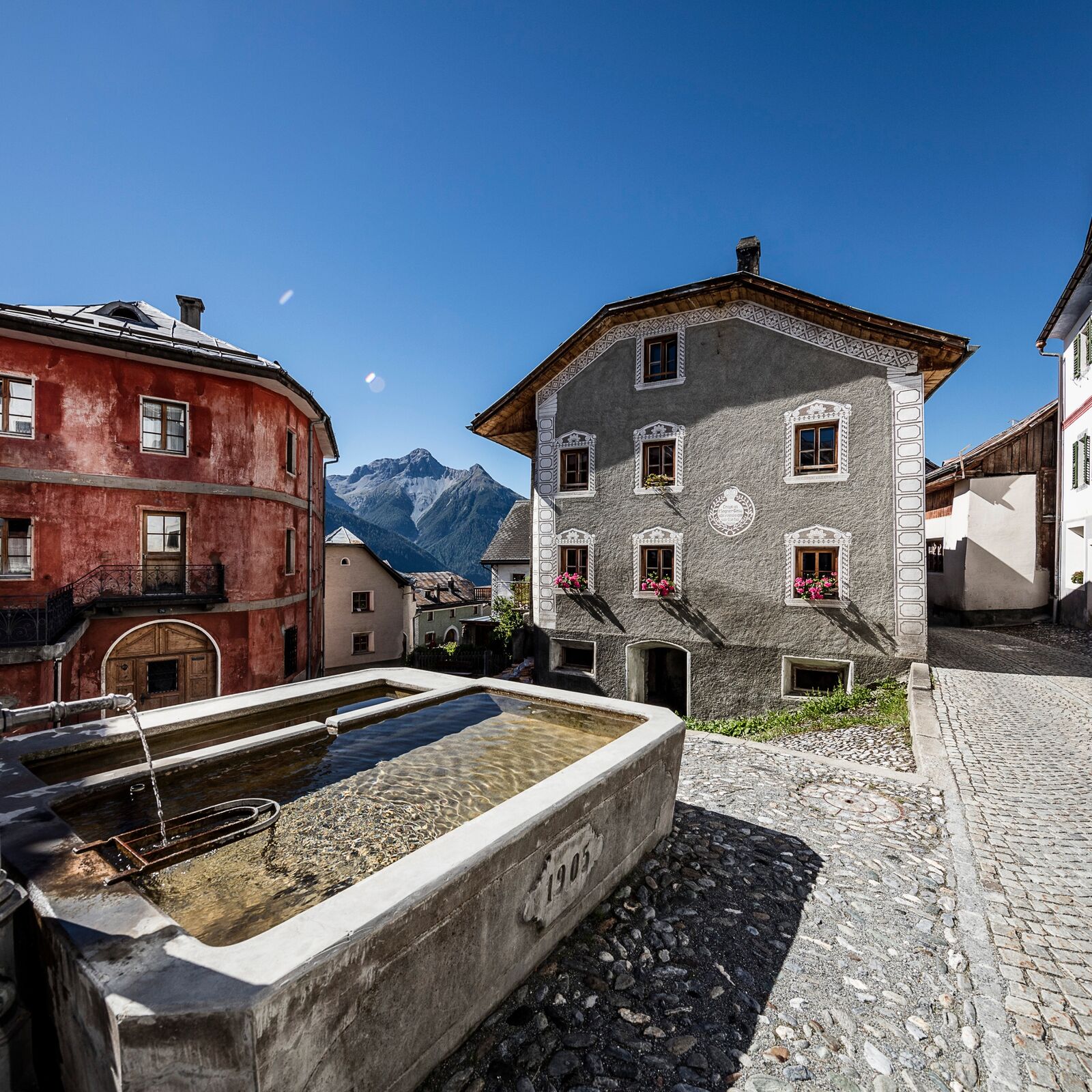
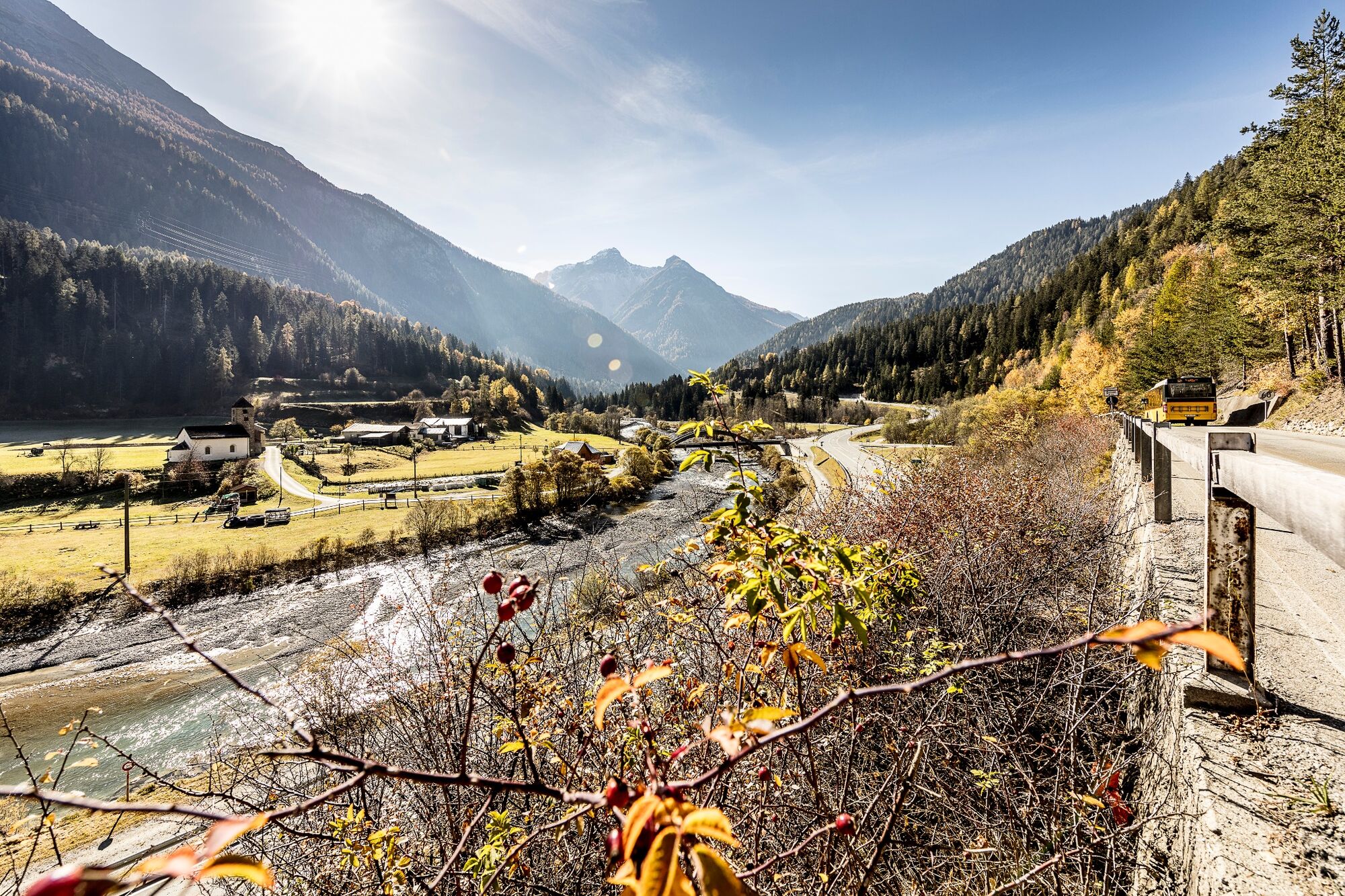
Florinuskirche0,3 kmRamosch (1.236 m)0,5 kmSeraplana6,8 kmHotel Macun11,8 kmTschlin (1.533 m)11,9 kmSan Jon12,1 kmAlpenbrauerei Girun12,2 kmSan Plasch12,3 kmAlp Tea Sura17,3 kmMartina (1.035 m)26,4 km
- Bedste sæson
-
janfebmaraprmajjunjulaugsepoktnovdec
- Højeste punkt
- 2.037 m
- Destination
-
PostAuto-Haltestelle Martina, cunfin
- Højdeprofil
-
 © outdooractive.com
- Forfatter
-
Rundvisningen 442.03 Regional Bike Route Engiadina Bassa: Ramosch – Martina bruges af outdooractive.com forudsat.
GPS Downloads


Generel information
Forfriskningsstop
Kulturel/Historisk
Lovende