


- Kort beskrivelse
-
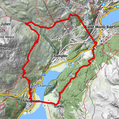
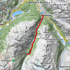
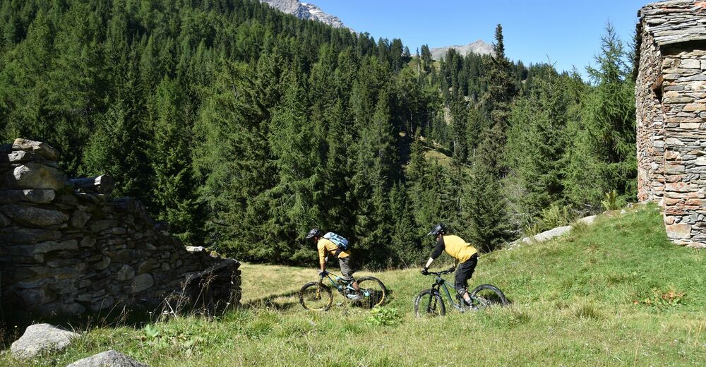
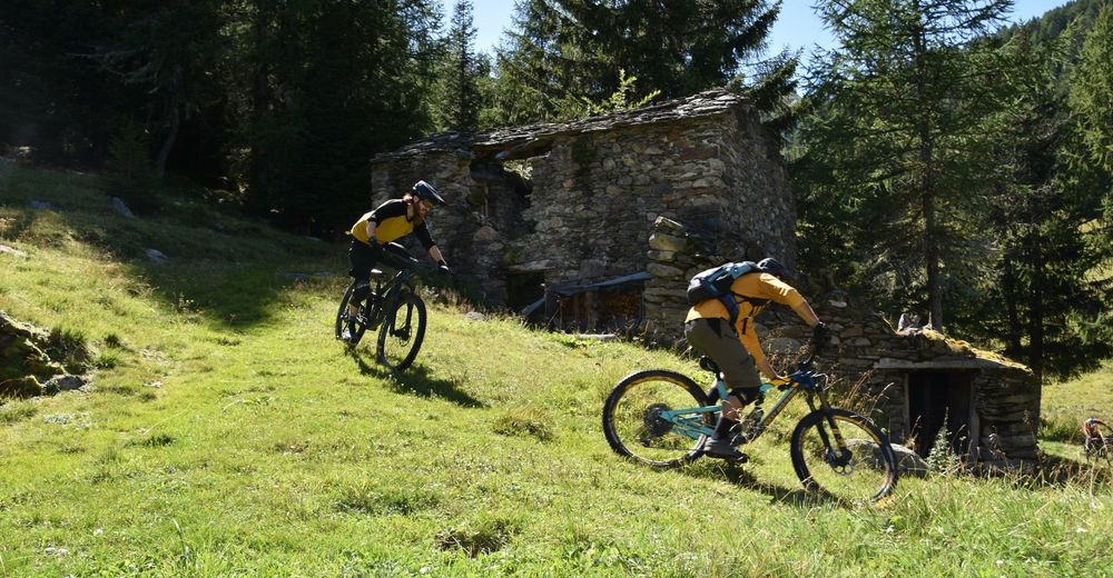
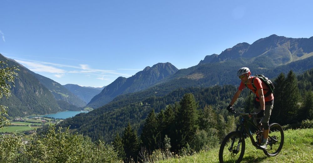
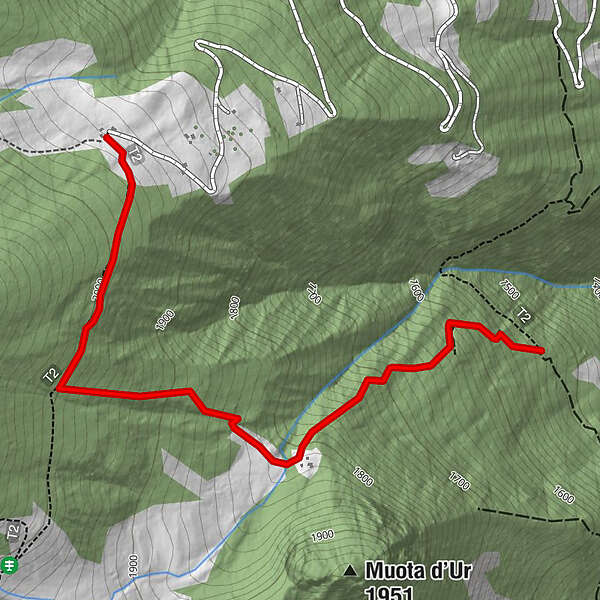
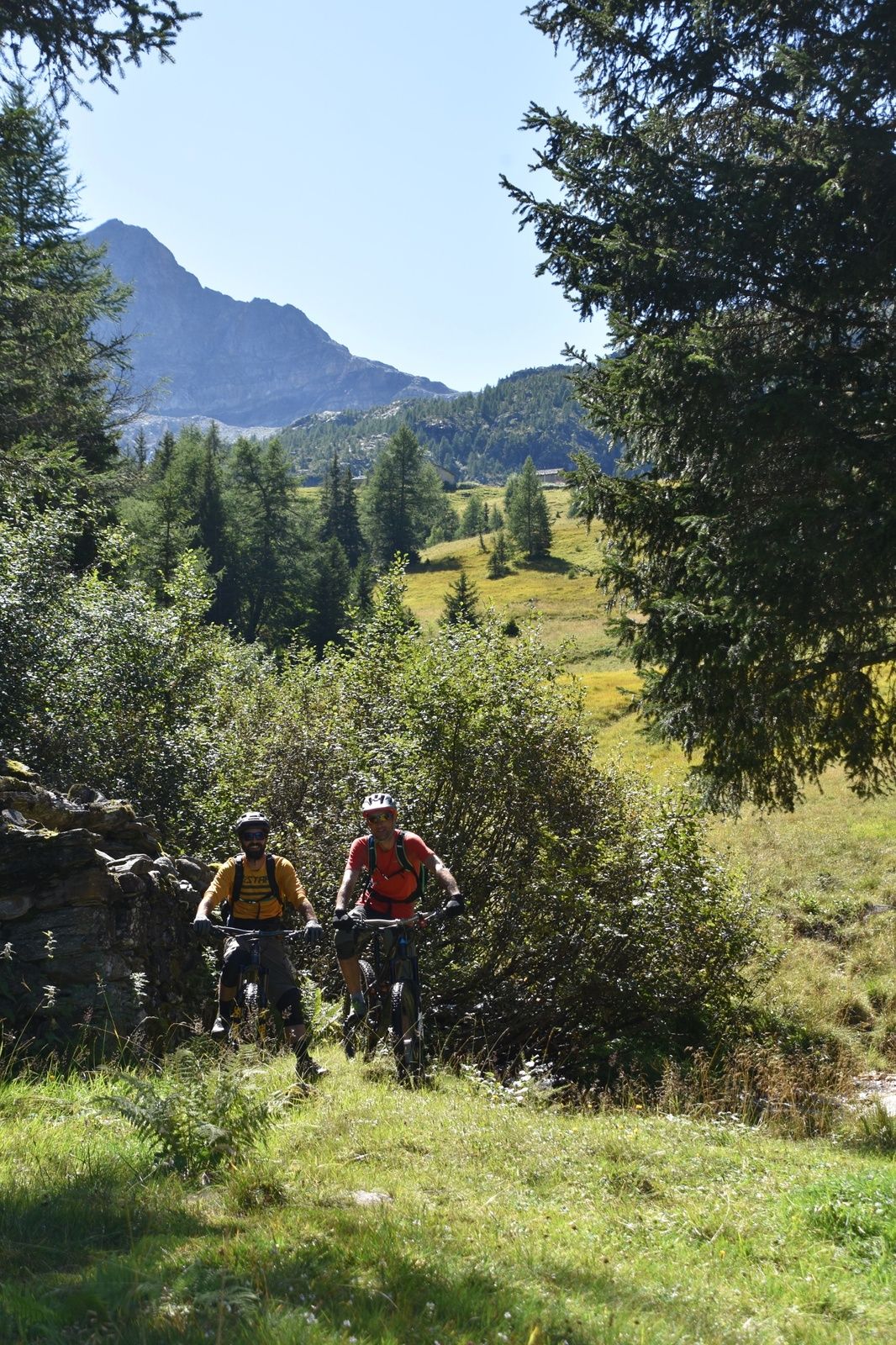
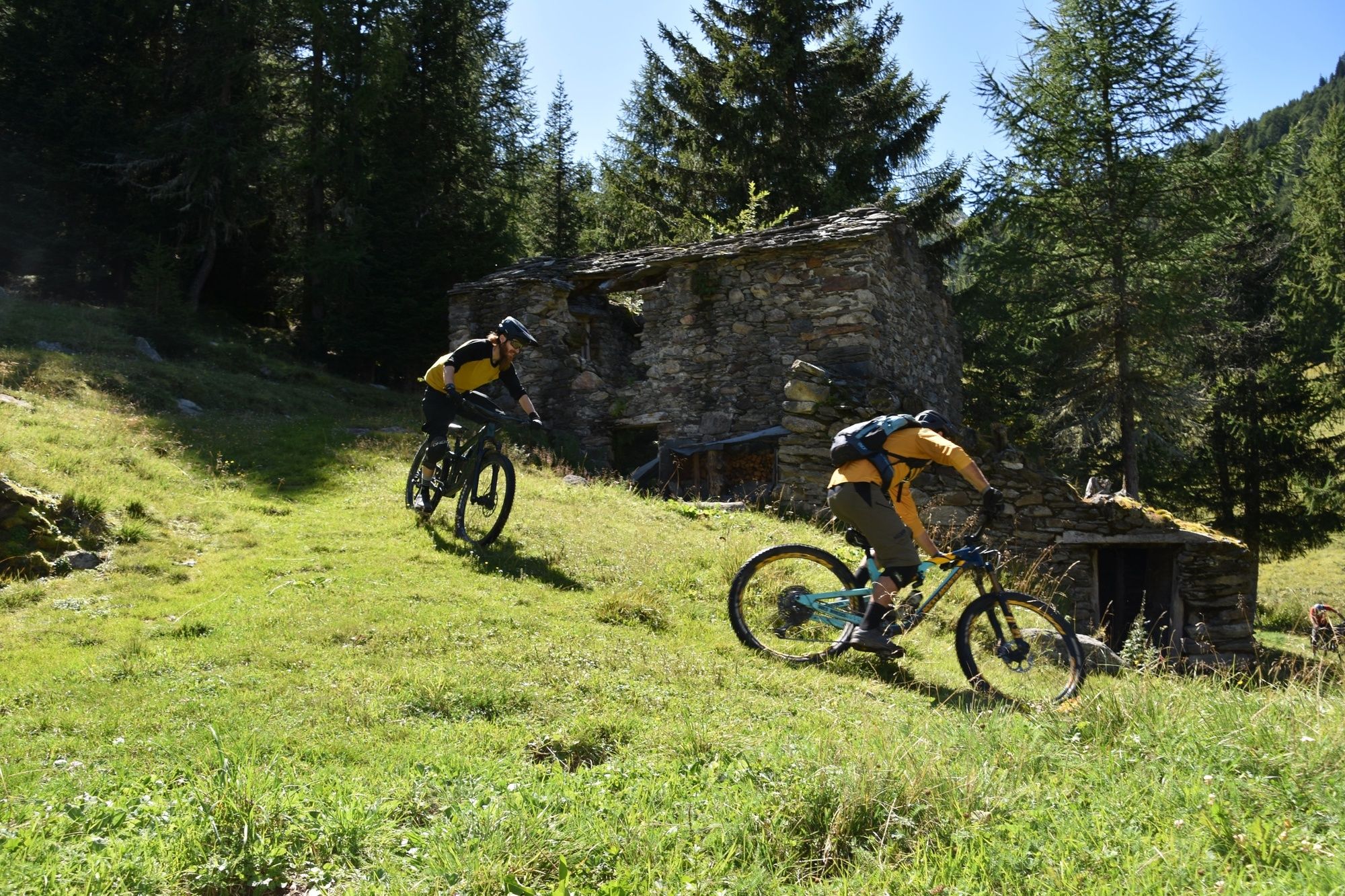
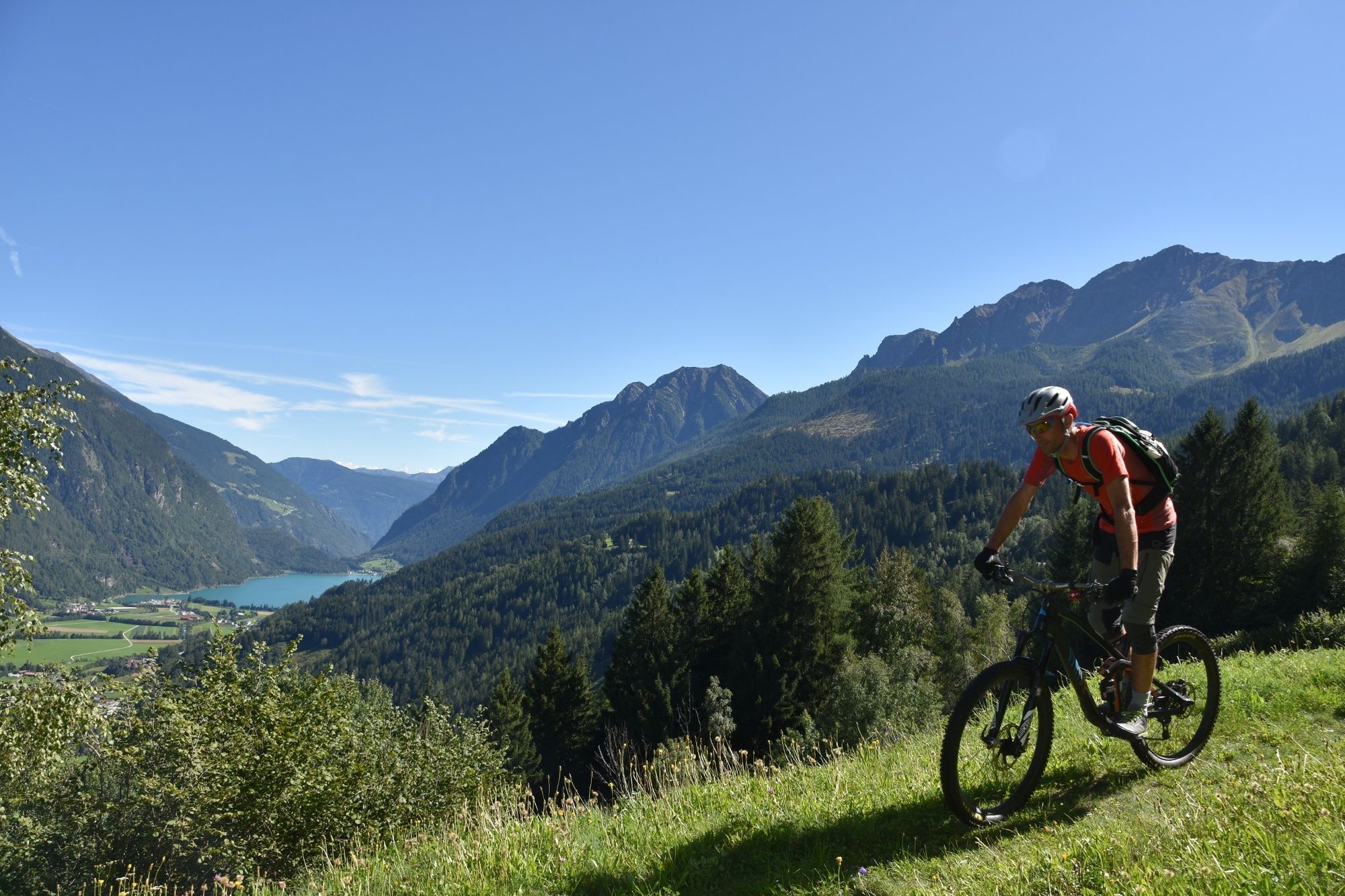
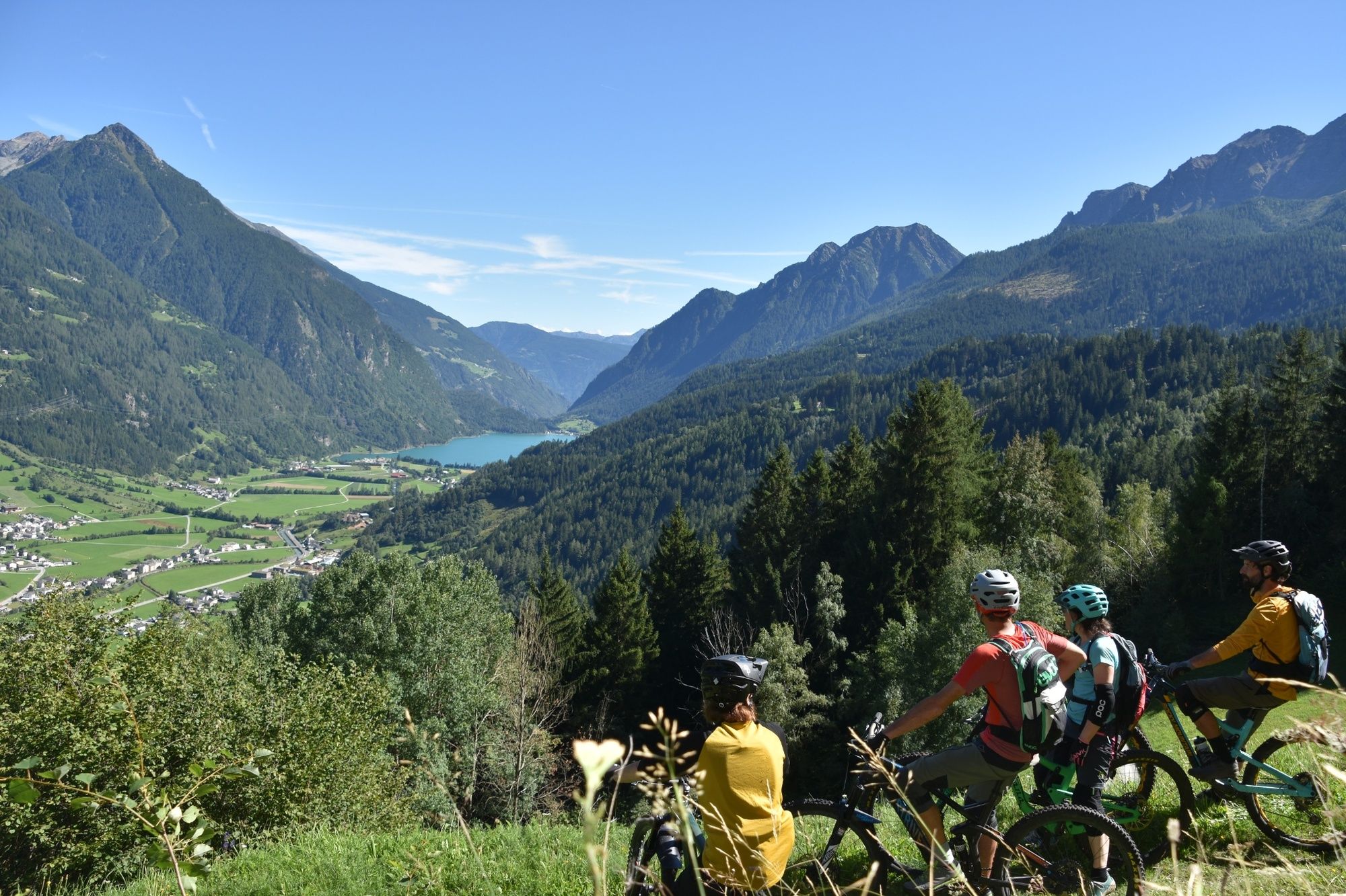
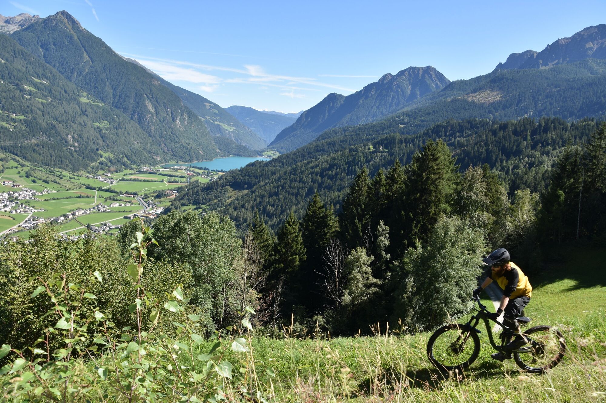
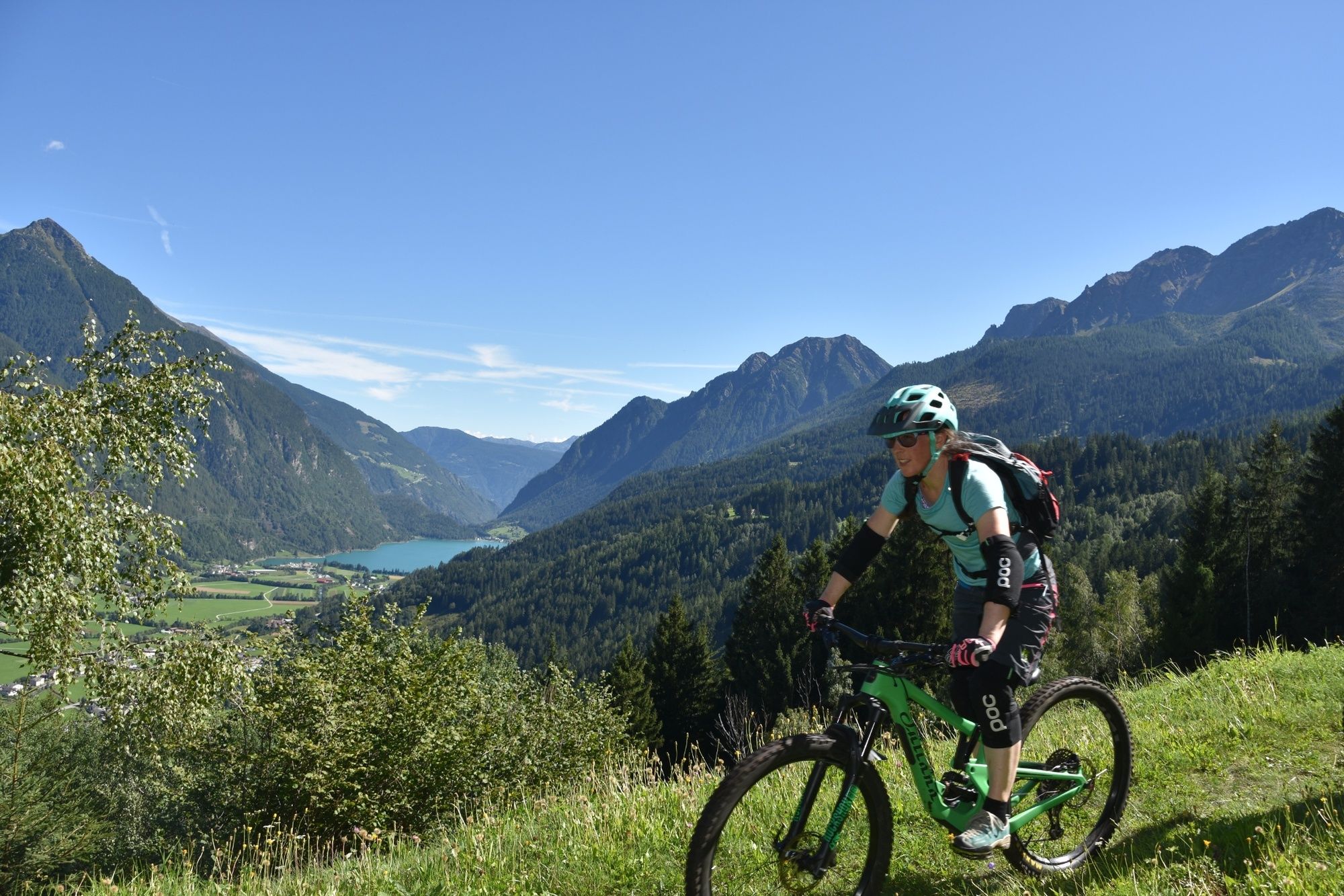
Historischer Weg, Start bei 2000 m.ü.M., technisch nicht sehr anspruchsvoll, eindrückliche Abfahrten, nie langweilig.
- Sværhedsgrad
-
tung
- Højeste punkt
- 1.998 m
- Højdeprofil
-
 © outdooractive.com


- Forfatter
-
Rundvisningen Pradel - Via Vegia bruges af outdooractive.com forudsat.
GPS Downloads


Flere ture i regionerne
-
Veltlin / Valtellina
204
-
Puschlav / Valposchiavo
197
-
Puschlav
44