© Chur - Die Alpenstadt - Michael Christ
© Chur - Die Alpenstadt - Michael Christ

© Chur - Die Alpenstadt - Michael Christ

© Chur - Die Alpenstadt - Michael Christ

© Chur - Die Alpenstadt - Michael Christ

- Kort beskrivelse
-
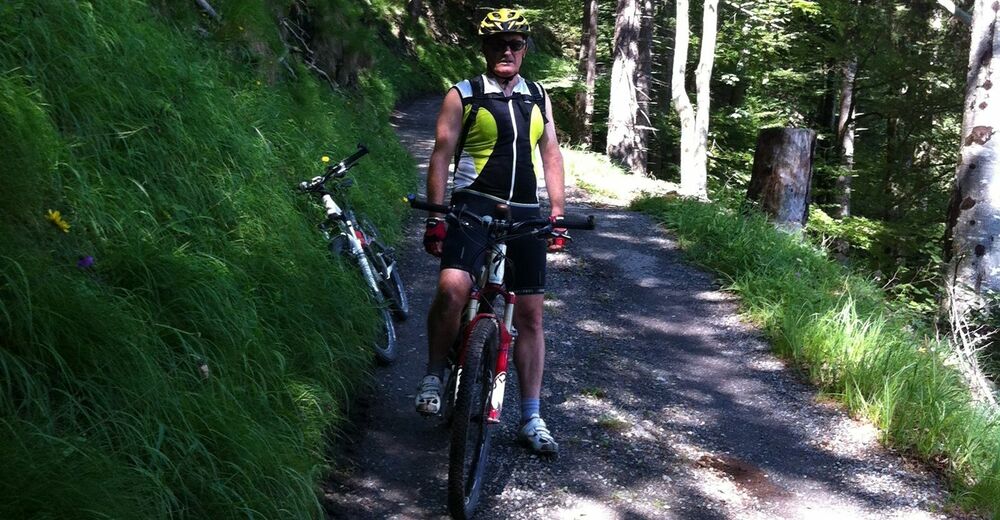
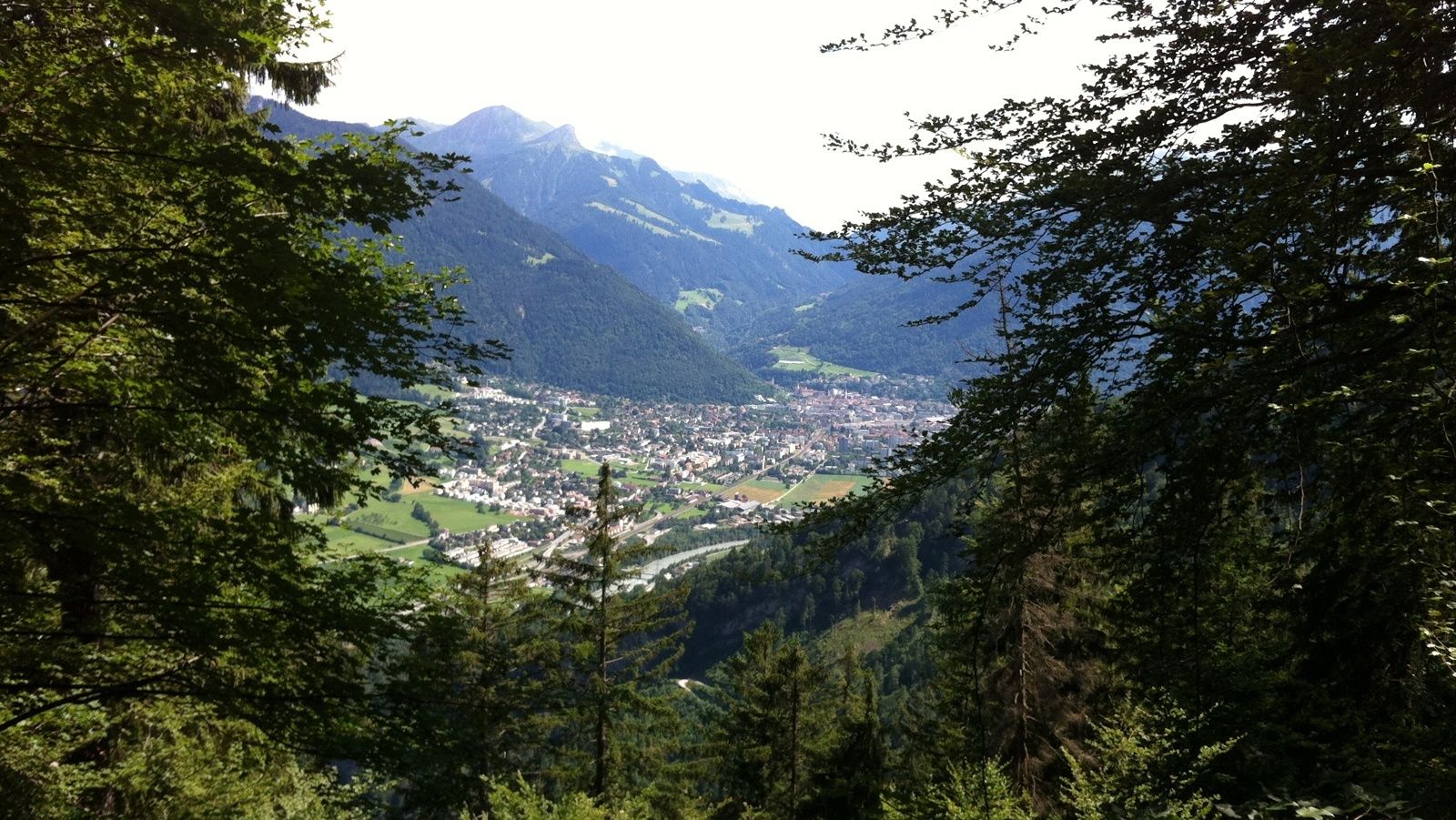
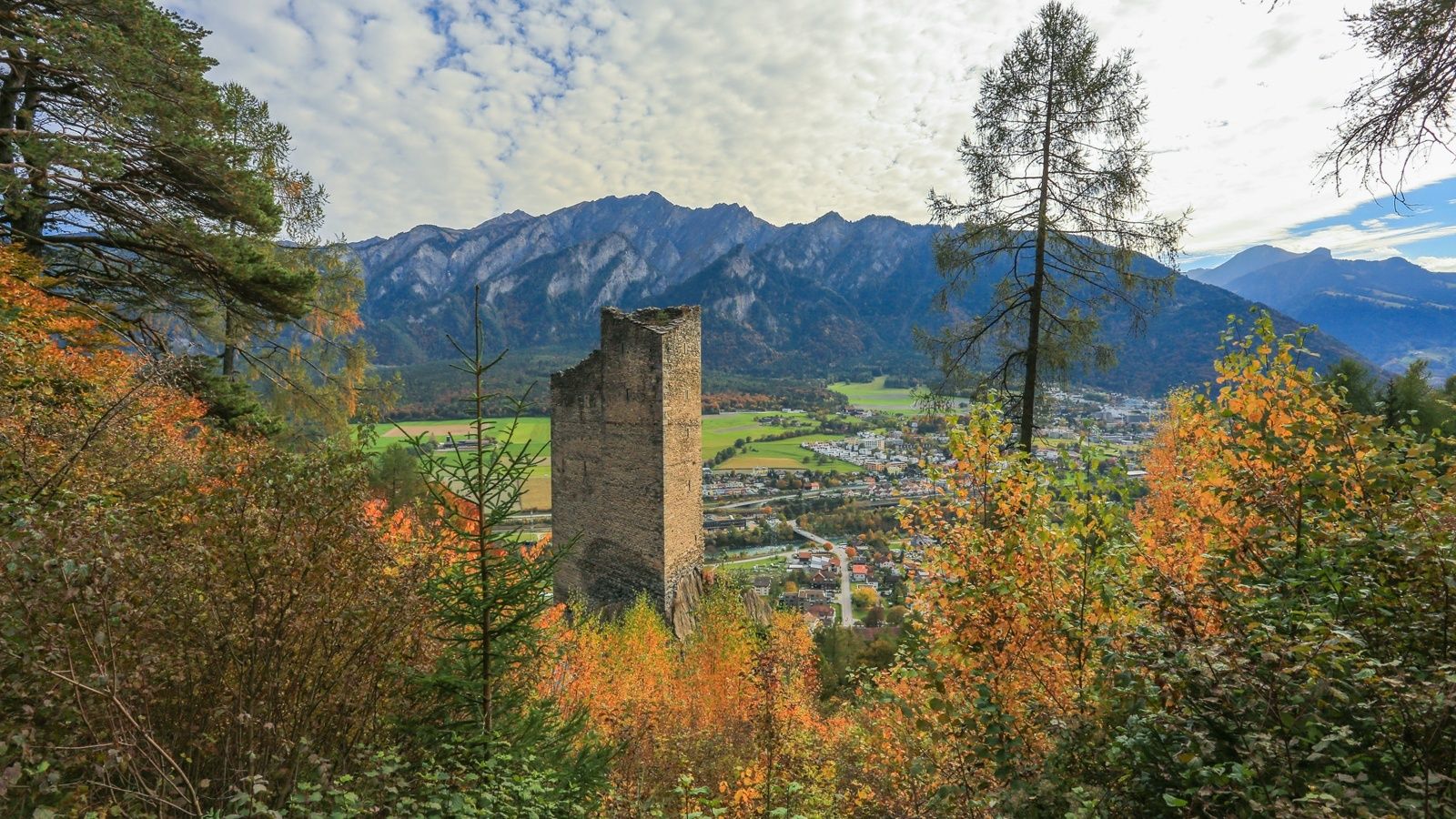
Easy and short, but appealing round tour, that leads past some castles and ruins in the area.
- Sværhedsgrad
-
let
- Evaluering
-
- Rute
-
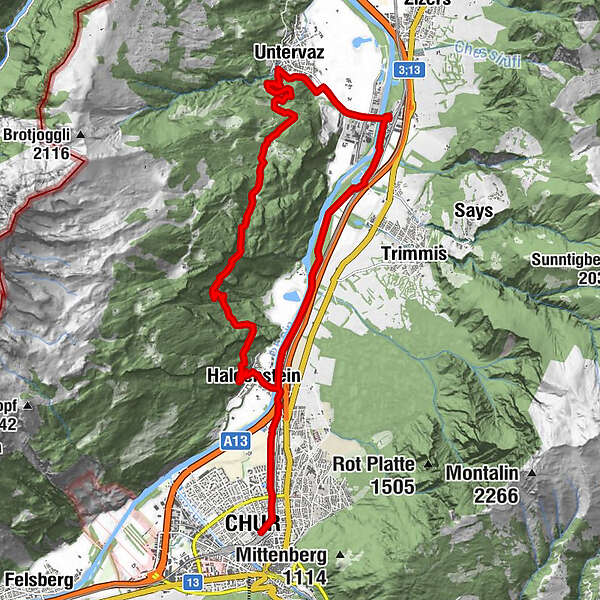
Chur (593 m)Masans2,0 kmRestaurant Bahnhöfli2,7 kmHaldenstein (566 m)2,7 kmUntervaz (564 m)10,5 kmPrameisters14,4 kmReformierte Kirche19,8 kmCalanda19,9 kmHaldenstein (566 m)20,0 kmChur (593 m)20,4 kmRestaurant Bahnhöfli20,4 km
- Bedste sæson
-
janfebmaraprmajjunjulaugsepoktnovdec
- Højeste punkt
- 1.139 m
- Destination
-
Chur, train station
- Højdeprofil
-
 © outdooractive.com


-

-
ForfatterRundvisningen Chur - Herrentobel - Chur bruges af outdooractive.com forudsat.
GPS Downloads


Generel information
Kulturel/Historisk
Lovende