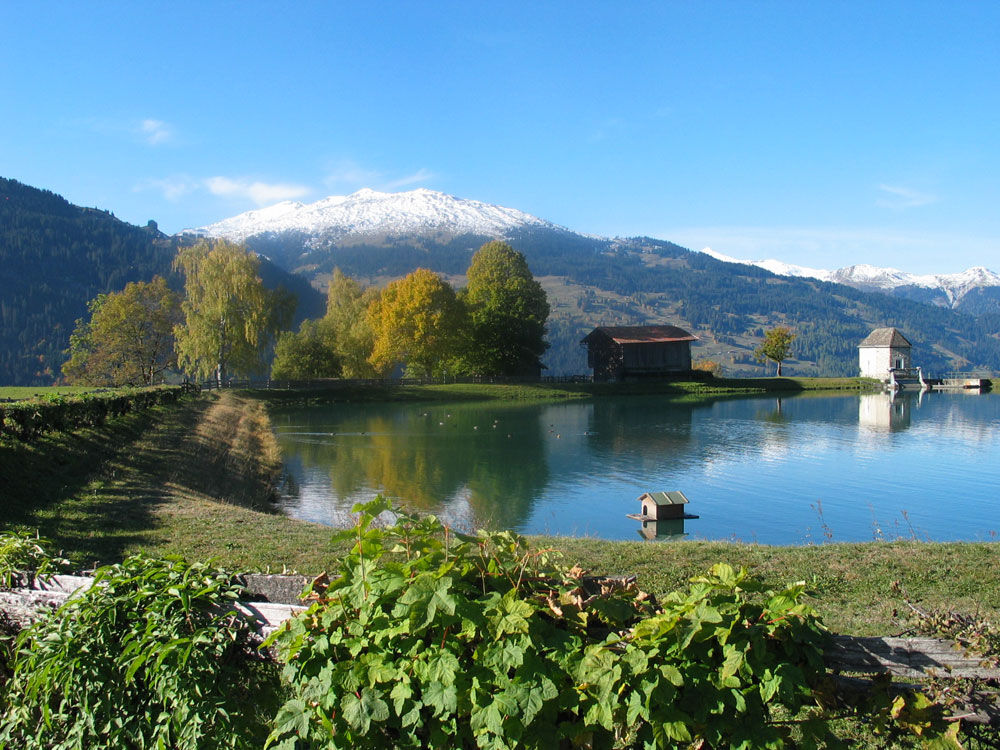
© Prättigau Tourismus - André Müller

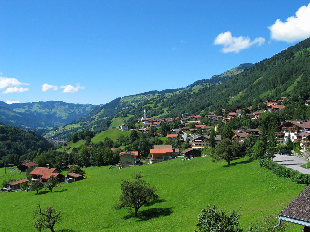
© Prättigau Tourismus - Saas Tourismus

© Prättigau Tourismus - Saas Tourismus


- Kort beskrivelse
-
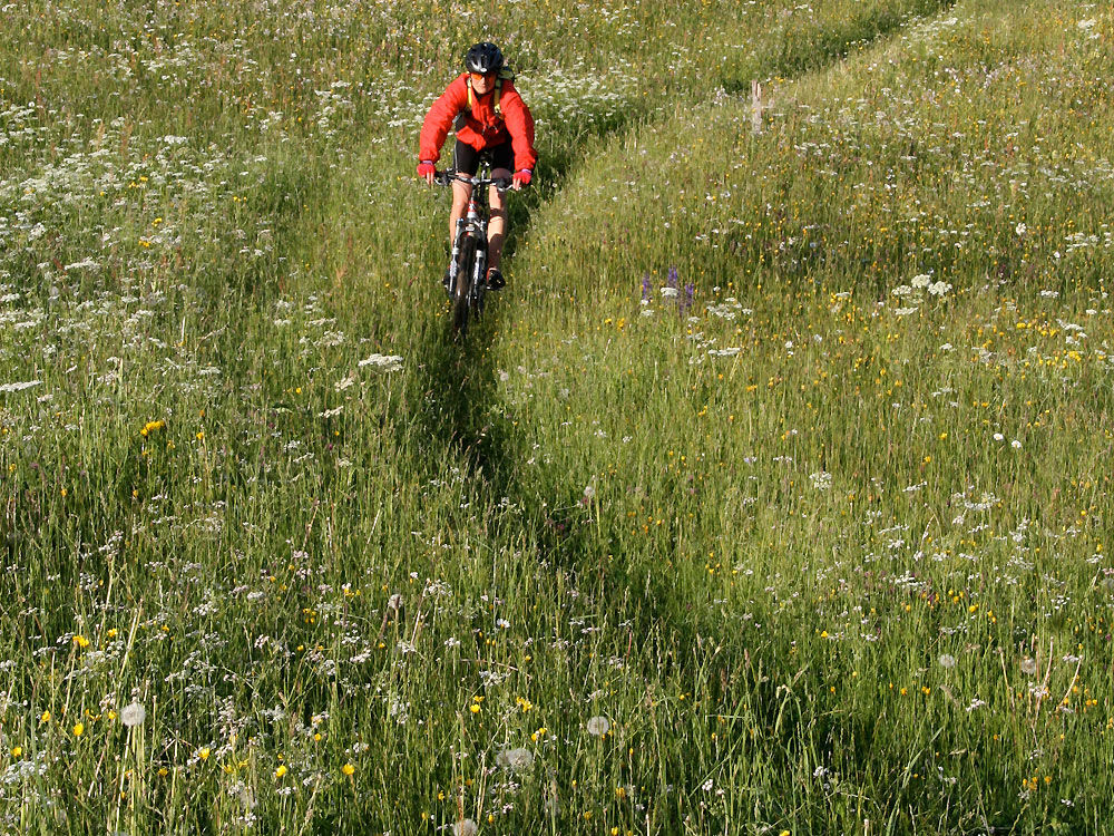
This tour is ideally suited as an after-work tour. It is short, featuring interesting and slightly uphill trail sections with wonderful wide-open views as well as fast-flowing and steep but simpler sections downhill that call for the right measure of conc
- Sværhedsgrad
-
let
- Evaluering
-
- Rute
-
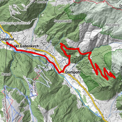
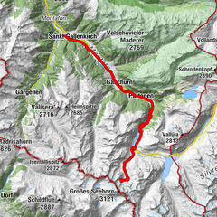
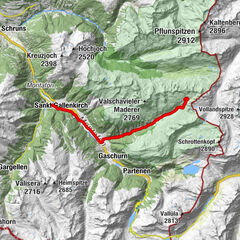
Reformierte KircheKüblis (816 m)0,1 kmSaas (935 m)2,8 kmBahnhöfli Saas3,0 kmSaas im Prättigau (988 m)3,7 kmGasthaus zum Rathaus3,8 kmMalfeis8,8 kmPläviggin9,9 kmRiedgaden10,2 kmCanal10,3 kmTälfsch10,9 kmKüblis (816 m)11,3 kmReformierte Kirche11,9 km
- Bedste sæson
-
janfebmaraprmajjunjulaugsepoktnovdec
- Højeste punkt
- 1.364 m
- Destination
-
Küblis
- Højdeprofil
-
 © outdooractive.com
-

-
ForfatterRundvisningen 328 Malfeis bruges af outdooractive.com forudsat.
GPS Downloads


Veje
Forsøg
Generel information
Forfriskningsstop
Flere ture i regionerne
-
Prättigau
267
-
Saas im Prättigau
64