
© Flims Laax Falera - Mia Knoll

© Outdooractive – 3D Videos

© Flims Laax Falera - Johannes Schilder

© Flims Laax Falera - Mia Knoll

© Flims Laax Falera - Mia Knoll

- Kort beskrivelse
-
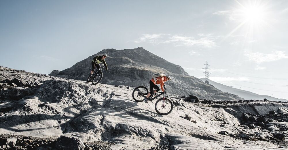
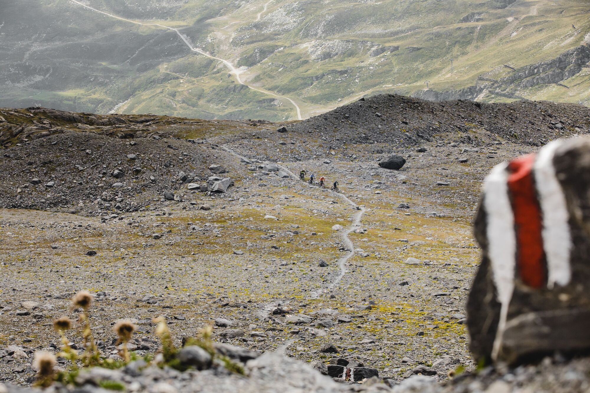
At 2571m it goes up to the mountain station at Vorab the highest point of the Biketrails LAAX. But not only the panorama convinces, also the trail is a unique experience.
- Sværhedsgrad
-
tung
- Evaluering
-
- Rute
-
Flims (1.081 m)Scansinas (1.899 m)0,8 kmPlaun (1.630 m)3,9 kmBerghaus Nagens5,0 kmNagens (2.127 m)5,0 kmAlp Sogn Martin16,5 kmScansinas (1.899 m)18,4 kmRunca Höhe23,3 kmFlims (1.081 m)26,2 km
- Bedste sæson
-
janfebmaraprmajjunjulaugsepoktnovdec
- Højeste punkt
- 2.562 m
- Destination
-
Laax, Staderas
- Højdeprofil
-
 © outdooractive.com


- Forfatter
-
Rundvisningen Vorab Trail (247) bruges af outdooractive.com forudsat.
GPS Downloads


Veje
Forsøg
Generel information
Forfriskningsstop
Flere ture i regionerne
-
Glarnerland
341
-
Flims Laax Falera
223
-
Castrisch
122


