© Engadin Samnaun Val Müstair - Antonella Klee

© Engadin Samnaun Val Müstair - Antonella Klee

© Engadin Samnaun Val Müstair - Antonella Klee

- Kort beskrivelse
-
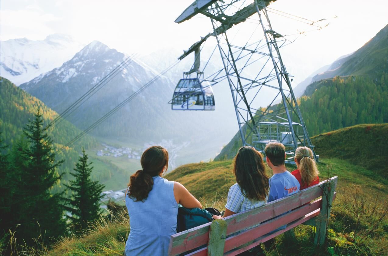
An impressive route over sunny terraces with colourful dry grassland and superb views of the mountain world. On the way: a typical Engadine village, an old convalescent hotel, hanging bridges and mountain trails, passing lakes, waterfalls and glacier residue.
- Sværhedsgrad
-
medium
- Evaluering
-
- Rute
-
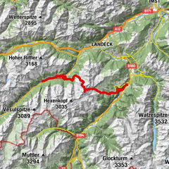
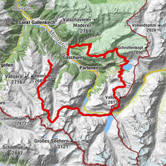
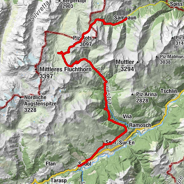
San Bastian0,7 kmScuol (1.250 m)0,8 kmDavo Stron4,4 kmDa Salvatore4,8 kmRestorant Fontana4,9 kmSins (1.440 m)5,0 kmTuols5,4 kmCosta Dad Archas5,5 kmBös-ch Grond5,5 kmHof Zuort14,4 kmGriosch15,5 kmHeidelberger Hütte24,6 kmMaria Hilf chapel36,5 kmSamnaun (1.846 m)36,7 kmEl Rico36,7 km
- Bedste sæson
-
janfebmaraprmajjunjulaugsepoktnovdec
- Højeste punkt
- 2.750 m
- Destination
-
Samnaun
- Højdeprofil
-
 © outdooractive.com


- Forfatter
-
Rundvisningen 23 Senda Scuol–Samnaun bruges af outdooractive.com forudsat.
GPS Downloads


Generel information
Forfriskningsstop
Flora
Lovende
Flere ture i regionerne
-
Engadin Scuol Zernez
728
-
Sent
140