- Kort beskrivelse
-
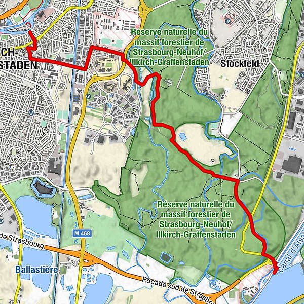
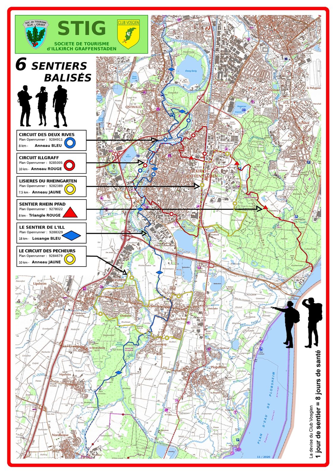
Parcours boisé à 70 % conduit du centre d’ Illkirch vers la forêt du Neuhof pour atteindre le pied de la digue du Rhin après 8km puis finir au dessus de la digue face au Pont Pierre Pflimlin.
- Sværhedsgrad
-
let
- Evaluering
-
- Rute
-
Église Protestante0,3 kmIllkirch-Grafenstaden0,4 kmAu Foyer des Pêcheurs3,0 kmUnterlamensand7,3 km
- Bedste sæson
-
janfebmaraprmajjunjulaugsepoktnovdec
- Højeste punkt
- 146 m
- Destination
-
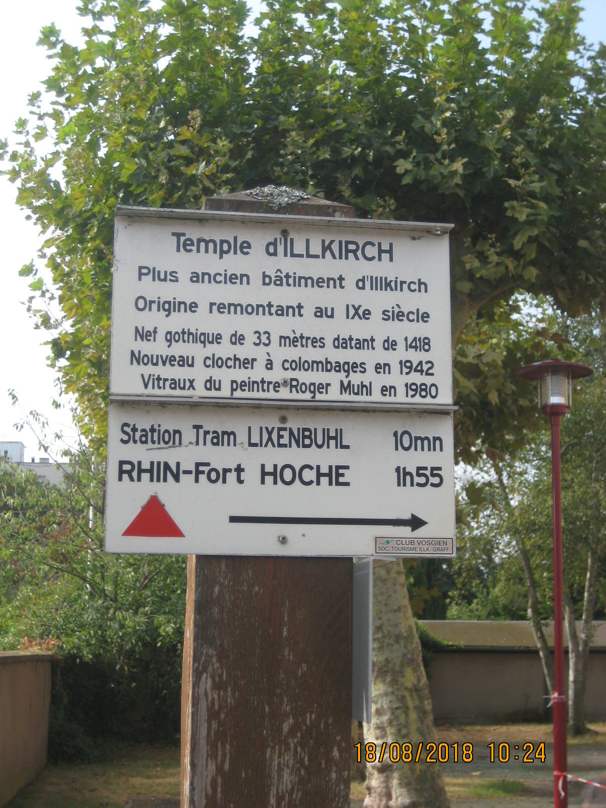
Panneau CV sur la digue du Rhin en bord de route du Kuhnensand (barrière )
- Højdeprofil
-
 © outdooractive.com

-

-
ForfatterRundvisningen Sentier du RheinPfad d’Illkirch au Rhin bruges af outdooractive.com forudsat.
GPS Downloads


Generel information
Forfriskningsstop
Helbredende klima
Kulturel/Historisk
Flora
Fauna
Lovende
Flere ture i regionerne