© Projektbüro Saar-Hunsrück-Steig, Klaus-Peter Kappest

© outdooractive community - Yves Loris

© Saarland - Frank Polotzek

© Community - Anja & Armin

© Manuela Meyer

© Manuela Meyer


- Kort beskrivelse
-
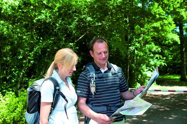
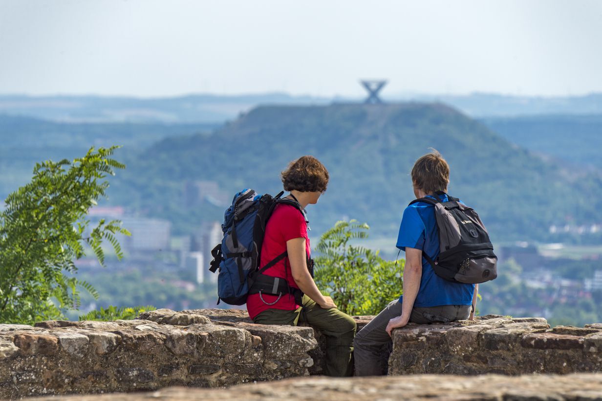
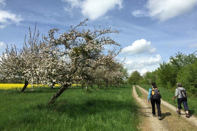
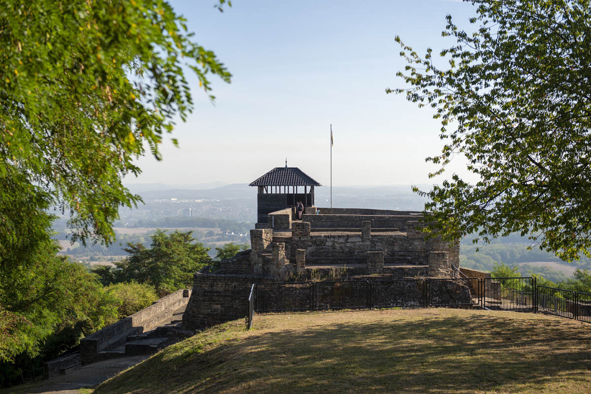
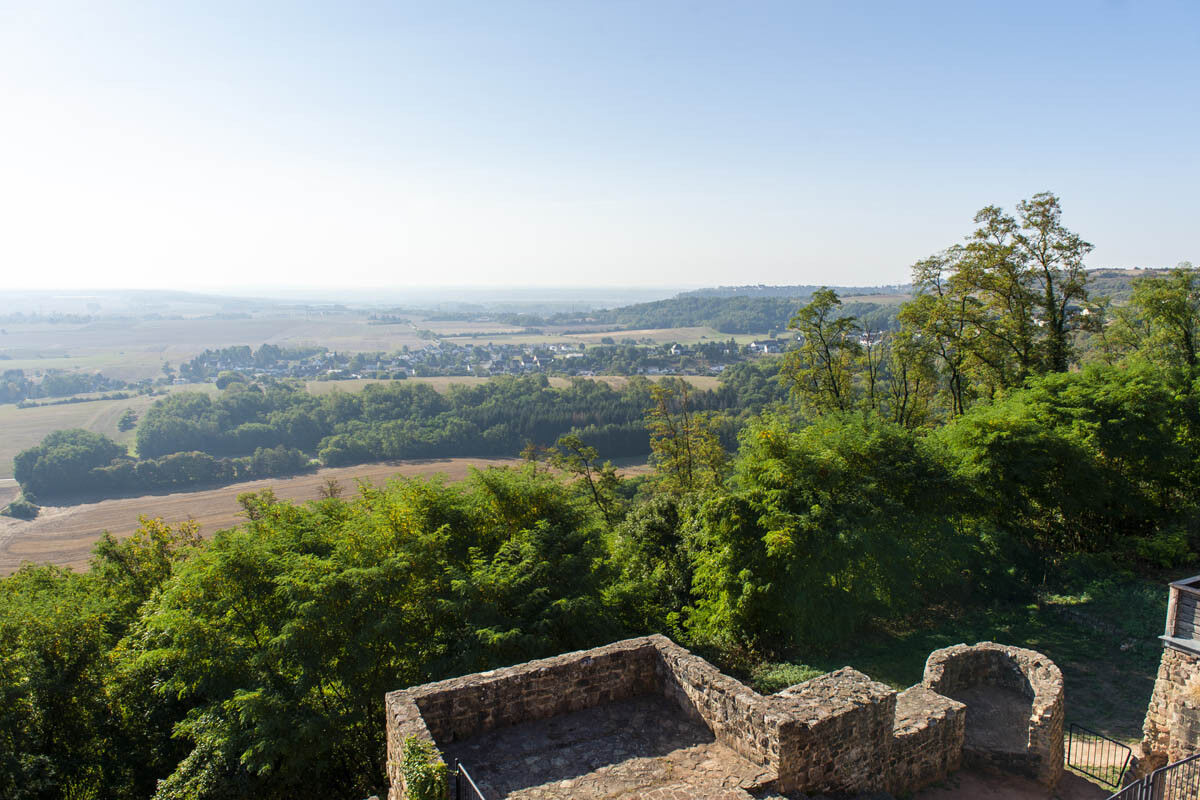
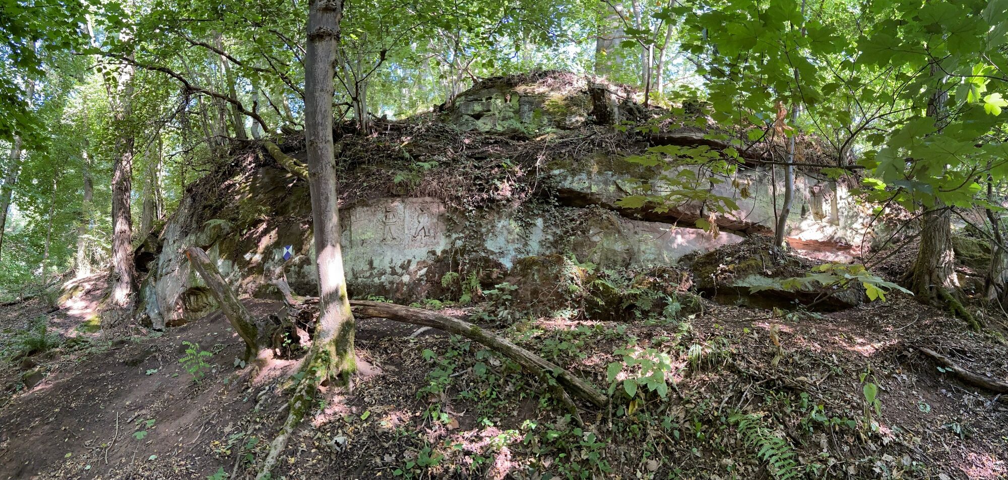
This trail in the Saarlouis region leads through enchanting forests, past old quarries and throws in the medieval Teufelsburg castle as a special highlight.
- Sværhedsgrad
-
medium
- Evaluering
-
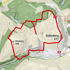
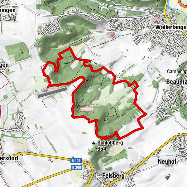
- Rute
-
Sarrelouis (181 m)6,4 km
- Bedste sæson
-
janfebmaraprmajjunjulaugsepoktnovdec
- Højeste punkt
- 350 m
- Destination
-
Flugplatz Düren, 66798 Saarlouis-Düren (Kerlinger Weg 66798 Wallerfangen)
- Højdeprofil
-
 © outdooractive.com

- Forfatter
-
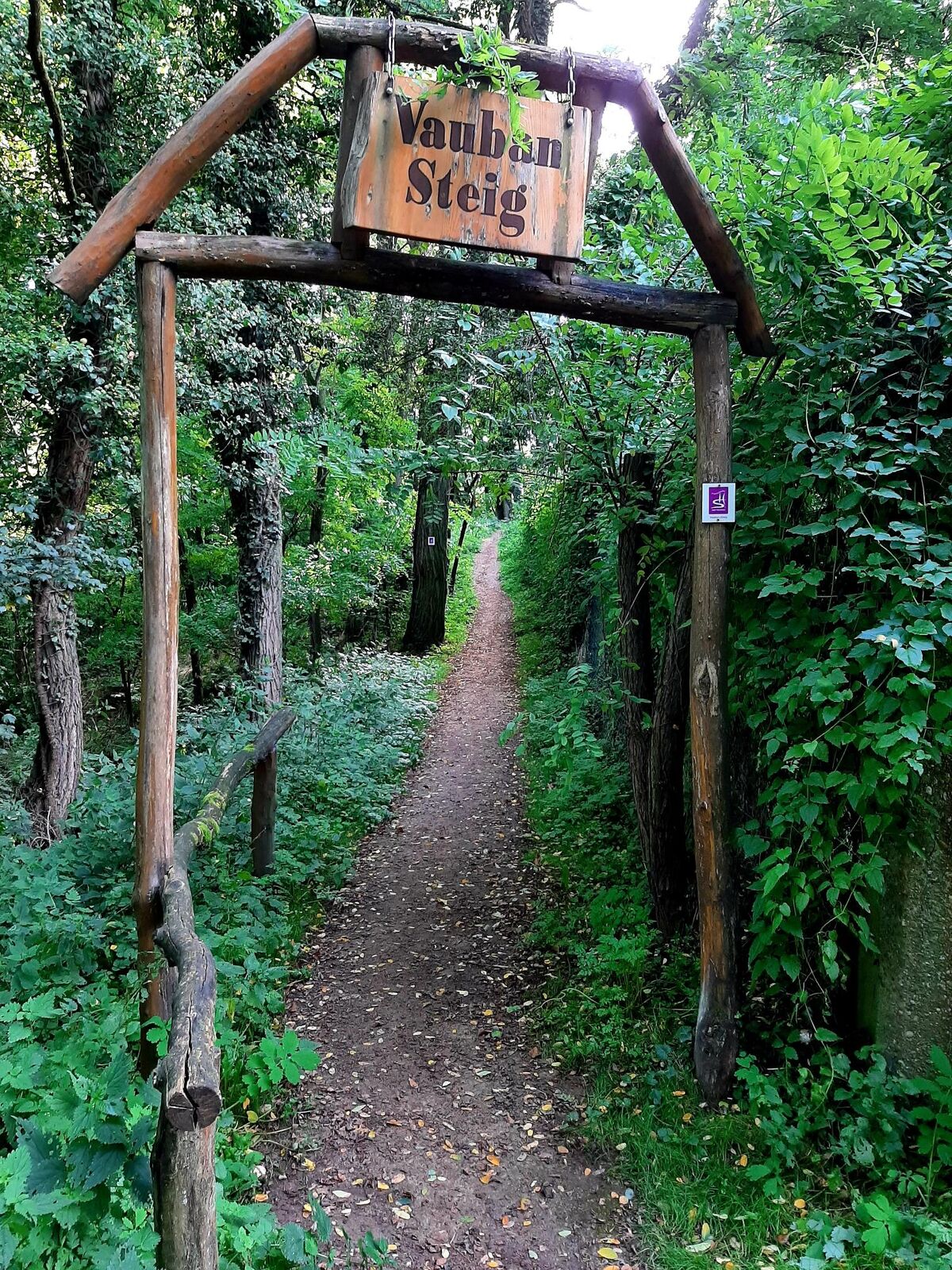
Rundvisningen `Vaubansteig´ bruges af outdooractive.com forudsat.
GPS Downloads


Generel information
Forfriskningsstop
Kulturel/Historisk