© Projektbüro Saar-Hunsrück-Steig, Klaus-Peter Kappest

© Saarland - Frank Polotzek

© Tourismus Zentrale Saarland, Frank Polotzek

© Tourismus Zentrale Saarland, Frank Polotzek

© Tourismus Zentrale Saarland, Frank Polotzek

© Tourismus Zentrale Saarland, Frank Polotzek

© Tourismus Zentrale Saarland, Frank Polotzek

© Projektbüro Saar-Hunsrück-Steig, Klaus-Peter Kappest

© Projektbüro Saar-Hunsrück-Steig, Klaus-Peter Kappest

© Tourismus Zentrale Saarland, Frank Polotzek

- Kort beskrivelse
-
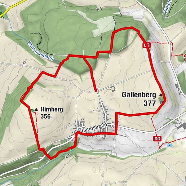
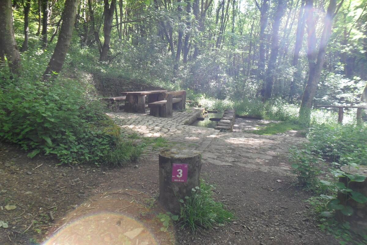
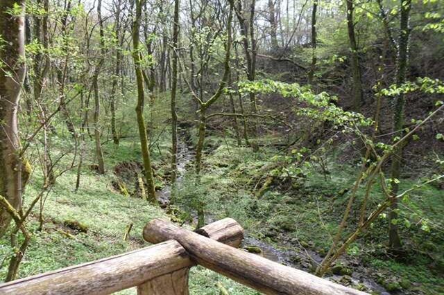
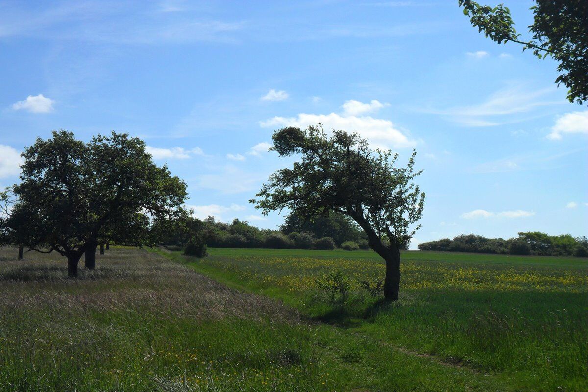
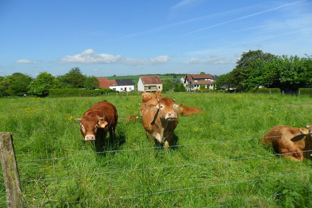
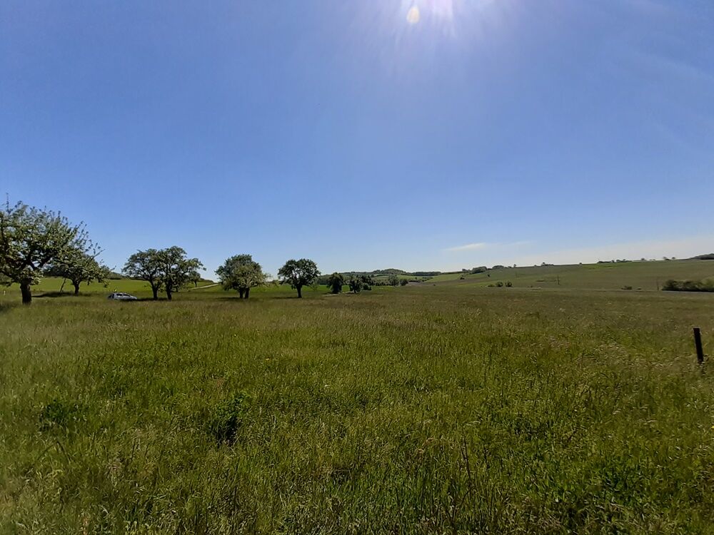
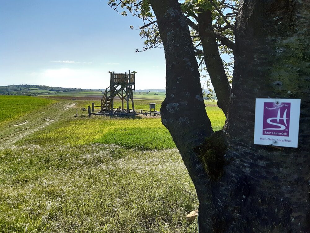
Thie Hirn-Gallenberg Trail hiking offers a number of specific features auch as left-overs of quarries, waters, old vineyard terraces and other sights of cultural and historical importance. In addition, hikers will encounter stunning views in regular intervals giving this trail its additional name ‘Panoramic Trail Rammelfangen‘.
- Sværhedsgrad
-
medium
- Evaluering
-
- Rute
-
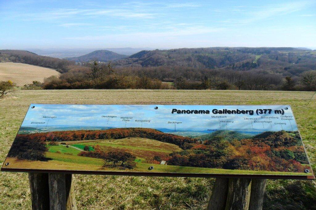
Hirnberg (356 m)2,0 kmBrunnentrog3,0 kmMaria Königin3,5 kmRammelfangen (310 m)3,8 kmGallenberg (377 m)4,6 km
- Bedste sæson
-
janfebmaraprmajjunjulaugsepoktnovdec
- Højeste punkt
- 375 m
- Destination
-
Wanderparkplatz an den Kaiserlinden, Waldstraße, 66798 Wallerfangen (Rammelfangen)
- Højdeprofil
-
 © outdooractive.com


- Forfatter
-
Rundvisningen Hirn-Gallenberg-Tour bruges af outdooractive.com forudsat.
GPS Downloads


Generel information
Forfriskningsstop
Kulturel/Historisk
Lovende