© Tourismus Zentrale Saarland, Erik Hoffmann

© Regionalverband Saarbrücken

© Günther Schneider

© Tourismus Zentrale Saarland, Frank Polotzek

© Manuela Meyer

© Manuela Meyer

© Manuela Meyer


- Kort beskrivelse
-
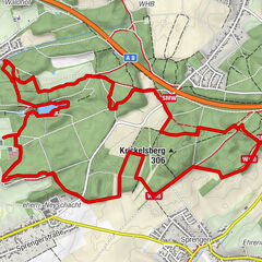
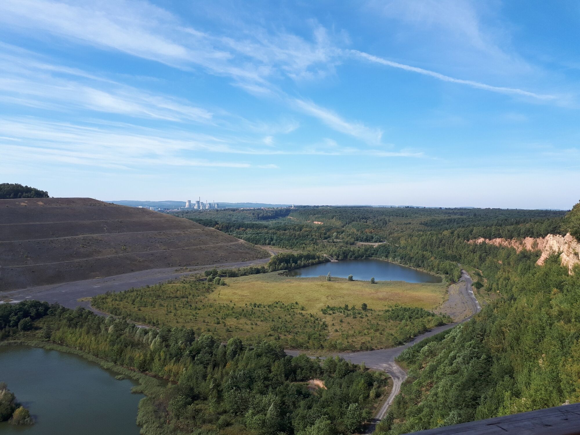
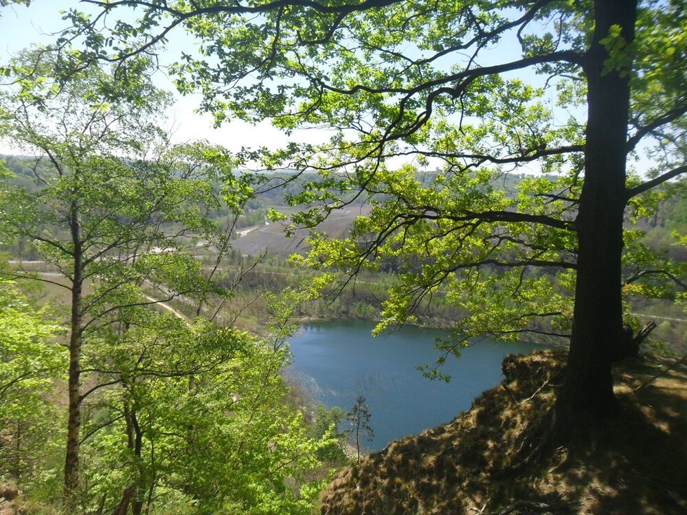
The trail is characterised by forest landscapes, wood edges, ponds, sunken roads and creek valleys, all succeeding each other. There are some nice views from the Miesenberg mountain and a rather spectacular one from the viewing plattform in the eastern loop of the trail.
- Sværhedsgrad
-
medium
- Evaluering
-
- Rute
-
KarlsbrunnSprossmannsquelle1,7 kmSt. Nikolaus8,8 kmBlockhaus9,2 kmCité Reumaux11,6 kmSteinberg (324 m)13,6 kmKarlsbrunn16,5 km
- Bedste sæson
-
janfebmaraprmajjunjulaugsepoktnovdec
- Højeste punkt
- 311 m
- Destination
-
Parkplatz beim Jagdschloss; Lauterbacher Straße 6, 66352 Großrosseln-Karlsbrunn
- Højdeprofil
-
 © outdooractive.com


- Forfatter
-
Rundvisningen Warndt Forest Trail bruges af outdooractive.com forudsat.
GPS Downloads


Generel information
Kulturel/Historisk
Flora
Lovende
Flere ture i regionerne
-
Moselle
244
-
Willkommensregion Neunkirchen
420