© Massif des Vosges - Infra ADT Massif des Vosges

© Massif des Vosges - © INFRA


© Massif des Vosges - Station du Markstein

© Massif des Vosges - Deybach

- Kort beskrivelse
-
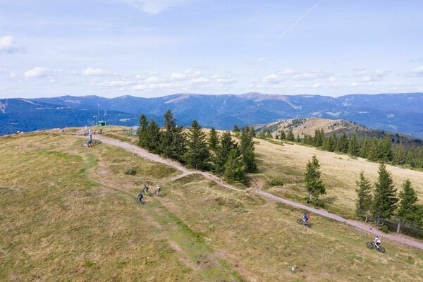
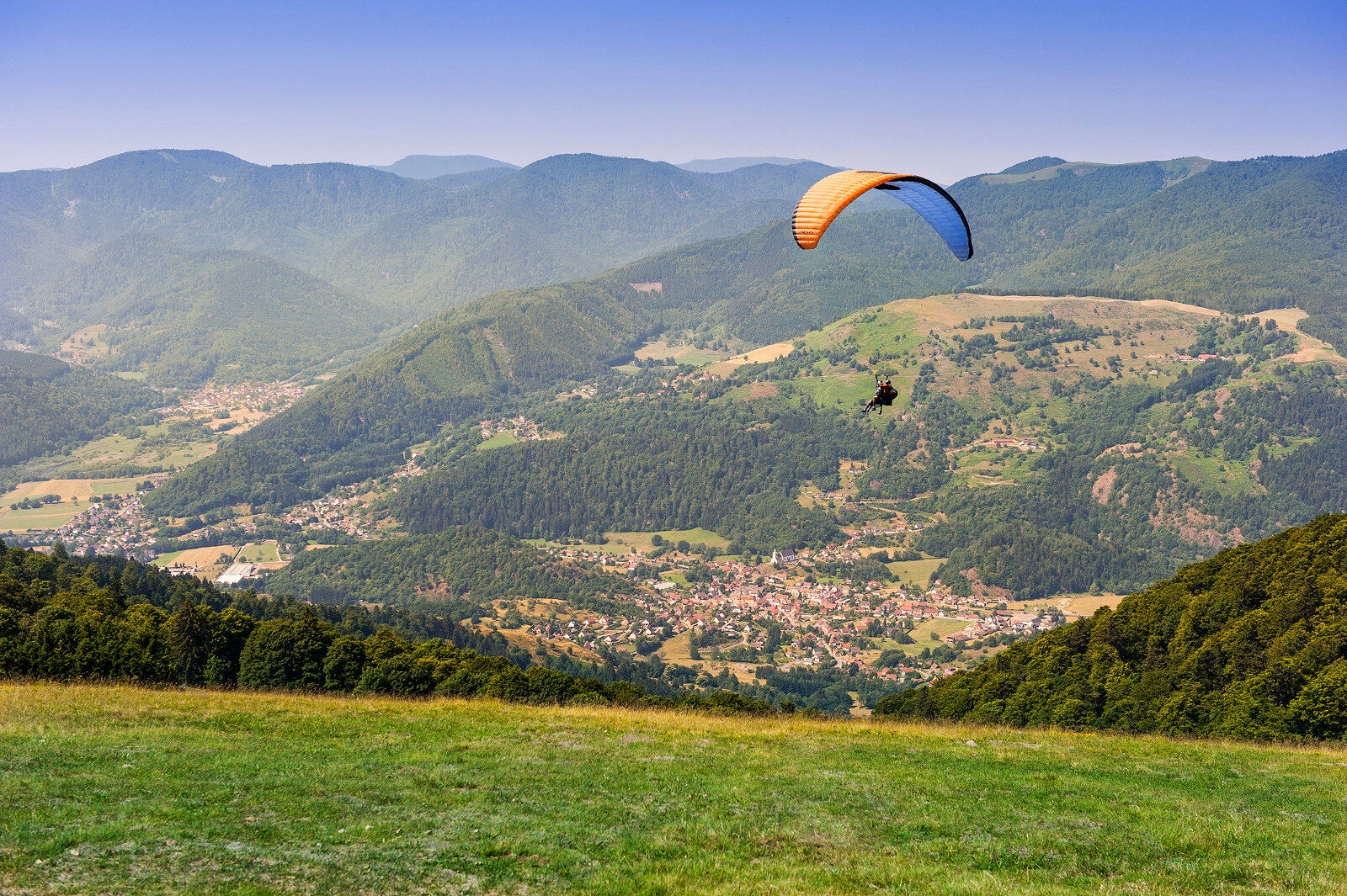
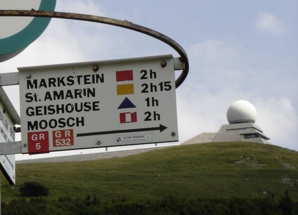
Climb to new heights! The trail runs along the ridges and leads to the Grand Ballon, the highest peak of the Vosges Mountains at 1424 m. On the summit of the Grand Ballon is a monument dedicated to the Blue Devils and a civil aviation radar station. The trail then heads toward Hartmannswillerkopf (Vieil-Armand/Hartmansweiler Head), a WWI memorial with one of France's 4 national monuments dedicated to the First World War. The stage finishes in Thann, the last village on the Alsace Wine Route.
- Sværhedsgrad
-
tung
- Evaluering
-
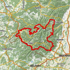
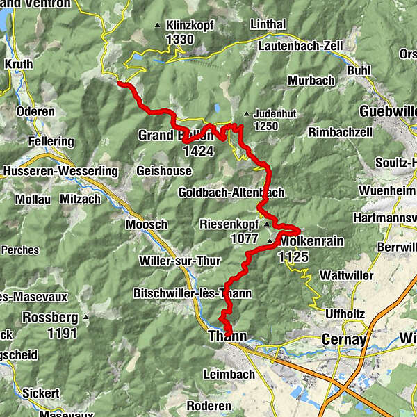
- Rute
-
Markstein0,1 kmFerme Auberge du Markstein0,1 kmHundskopf (1.237 m)3,1 kmRefuge du Storkenkopf5,2 kmHinterer Storken6,1 kmFerme Auberge du Haag6,8 kmBelchenkopfwand7,5 kmSource du Rennenbach (1.325 m)7,5 kmGroßer Belchen (1.424 m)8,2 kmChalet Hôtel Du Grand Ballon8,8 kmLa Vue des Alpes9,1 kmGloupe9,1 kmFerme-du-Ballon11,1 kmFerme Auberge du Grand Ballon11,5 kmFreudstein15,2 kmRefuge Ski Club Cernay19,4 kmFerme-Auberge du Molkenrain (1.125 m)19,8 kmRefuge du Molkenrain20,3 kmCamp Turenne - Thomannsplatz (909 m)21,4 kmGlaserberg (921 m)22,3 kmBaecherkopf-Hislà22,8 kmBecherkopf (922 m)22,9 kmCamp des Pyramides (782 m)23,3 kmErzenbackopf (791 m)23,9 kmPlace des Canaris (650 m)24,7 kmGrumbachkopf (674 m)24,8 kmHinter dem Schloss27,0 kmCentre d'Etudes Spirites Léon Denis27,8 kmThann28,0 km
- Bedste sæson
-
janfebmaraprmajjunjulaugsepoktnovdec
- Højeste punkt
- 1.419 m
- Destination
-
Thann
- Højdeprofil
-
 © outdooractive.com
- Forfatter
-
Rundvisningen Crossing the Vosges Mountains - Stage 16 - Le Markstein - Thann bruges af outdooractive.com forudsat.
GPS Downloads


Generel information
Forfriskningsstop
Helbredende klima
Kulturel/Historisk
Flora
Fauna
Lovende
Flere ture i regionerne
-
Haut-Rhin
1426
-
Thann-Cernay
847