© Massif des Vosges - OT

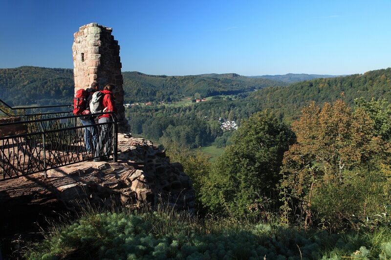
© Massif des Vosges - Emmanuel Stourm

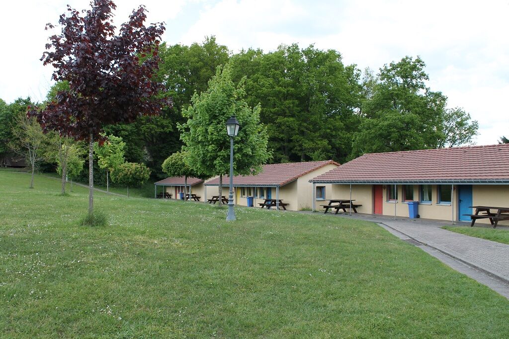
© Massif des Vosges - Centre de jeunesse

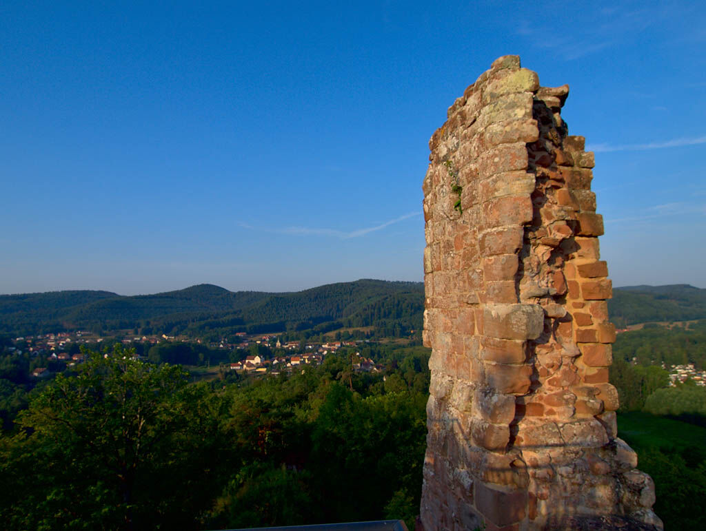
© Massif des Vosges - Emmanuel Stourm

© Massif des Vosges - Emmanuel Stourm


© Massif des Vosges - Camping municipal de Ramstein-Plage / Office de tourisme

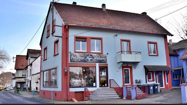
© Massif des Vosges - L'atelier fariné

© Unbekannt

© Unbekannt


- Kort beskrivelse
-
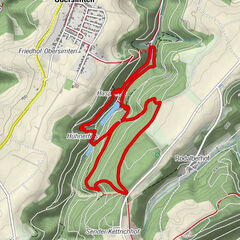
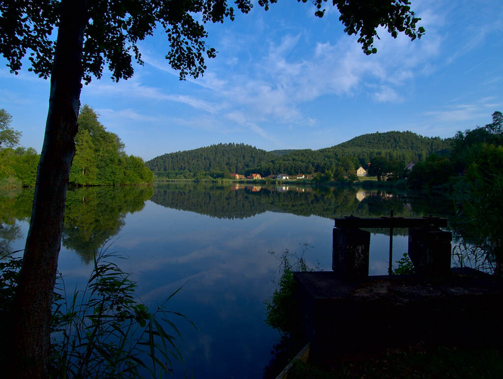
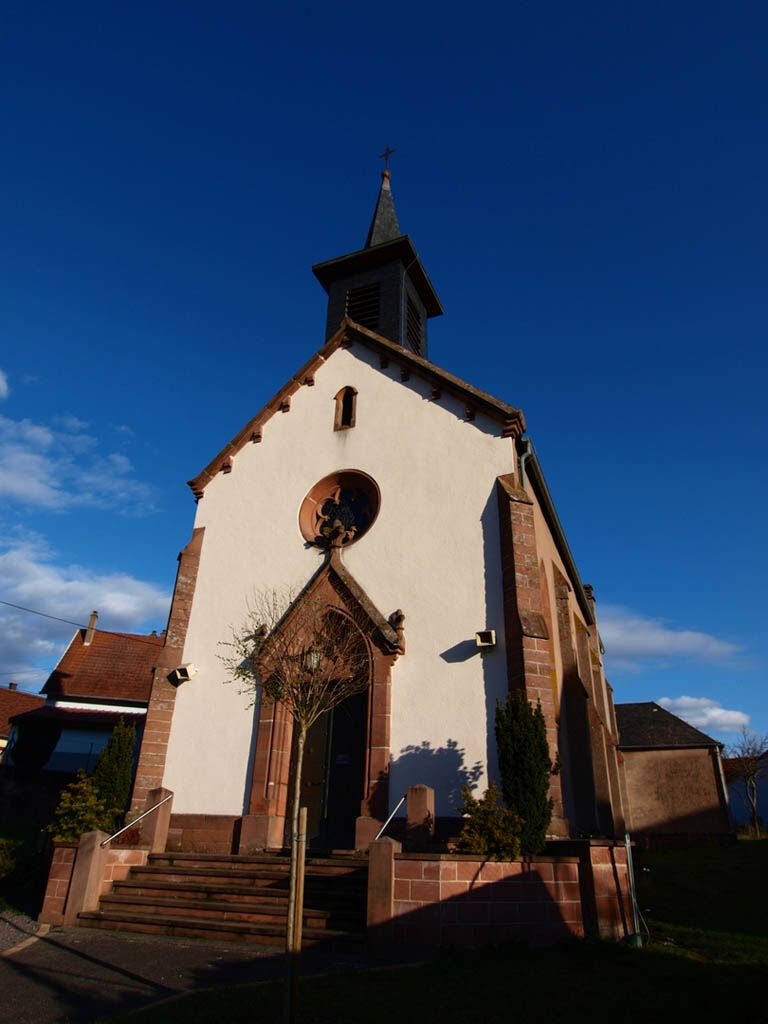
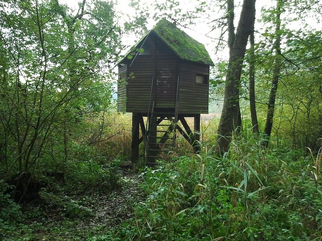
This circuit will make you discover the natural and historical riches which characterize the village of Baerenthal: ponds, forest, viewpoints and castle ruins. This unique hike will take you through a preserved natural setting. Discover: - the Grand Etang - the picnic tables at the edge of the Grand Etang - the Silberquelle silver source to refresh you - the castle of Ramstein The castle of Ramstein was built towards the end of the 12th century to control the valley of the Zinsel. At the top of the ruin, an orientation table describes the panoramic view of Baerenthal and its valley. The underground passages of the rock on which the castle is built shelter a colony of protected bats.
- Sværhedsgrad
-
medium
- Evaluering
-
- Rute
-
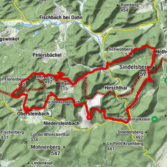
Bärental0,0 kmSt. Katharina0,1 kmRamstein0,3 kmRosselhof0,9 kmFischerhof1,5 kmReinhardshof2,0 kmSchloßberg (282 m)5,9 kmGalerie Militaire6,1 kmRamstein6,7 kmBärental7,1 kmSt. Katharina7,2 km
- Bedste sæson
-
janfebmaraprmajjunjulaugsepoktnovdec
- Højeste punkt
- 341 m
- Destination
-
Baerenthal, parking du foyer René Schmitt, rue principale
- Højdeprofil
-
 © outdooractive.com

-

-
ForfatterRundvisningen Excellence trail 1: Around the Château de Ramstein bruges af outdooractive.com forudsat.
GPS Downloads


Generel information
Forfriskningsstop
Helbredende klima
Kulturel/Historisk
Insider-tip
Flora
Fauna
Lovende
Flere ture i regionerne