© Visit Alsace - Infra

© Visit Alsace - Dimitri Lett

© Visit Alsace - Dimitri Lett

© Visit Alsace - Dimitri Lett

© DEMARRAGE EV15 - Gewandtka

© camping verte vallée

© Visit Alsace - Dimitri Lett

- Kort beskrivelse
-
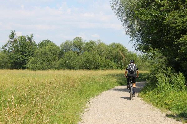
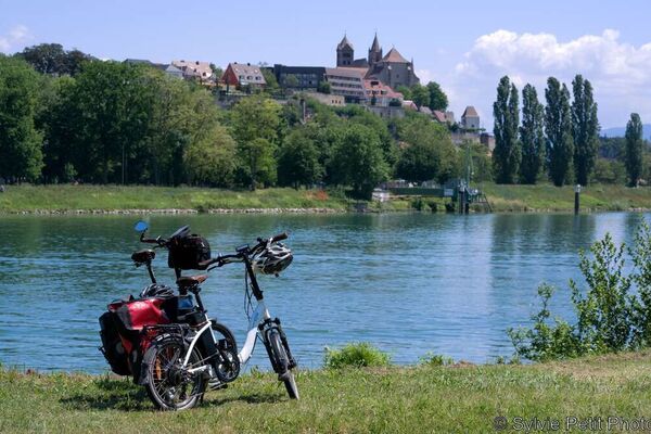
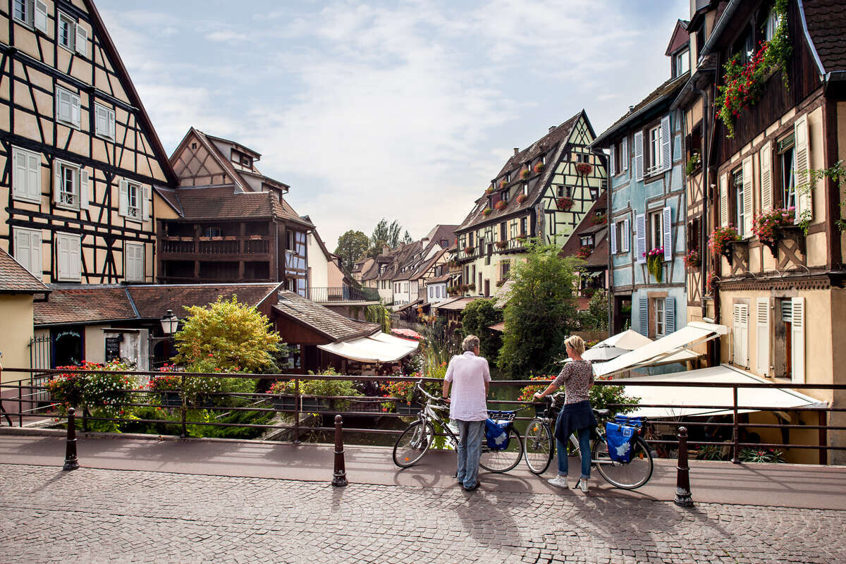
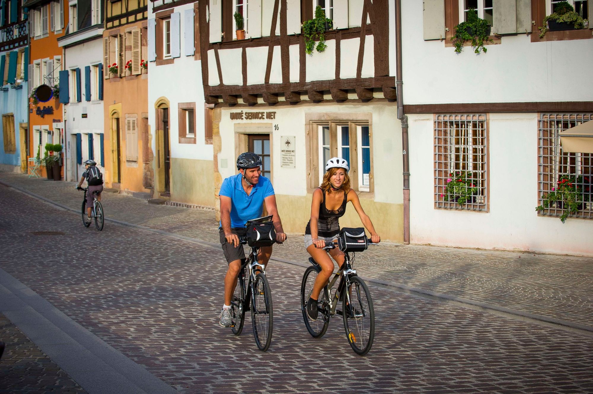
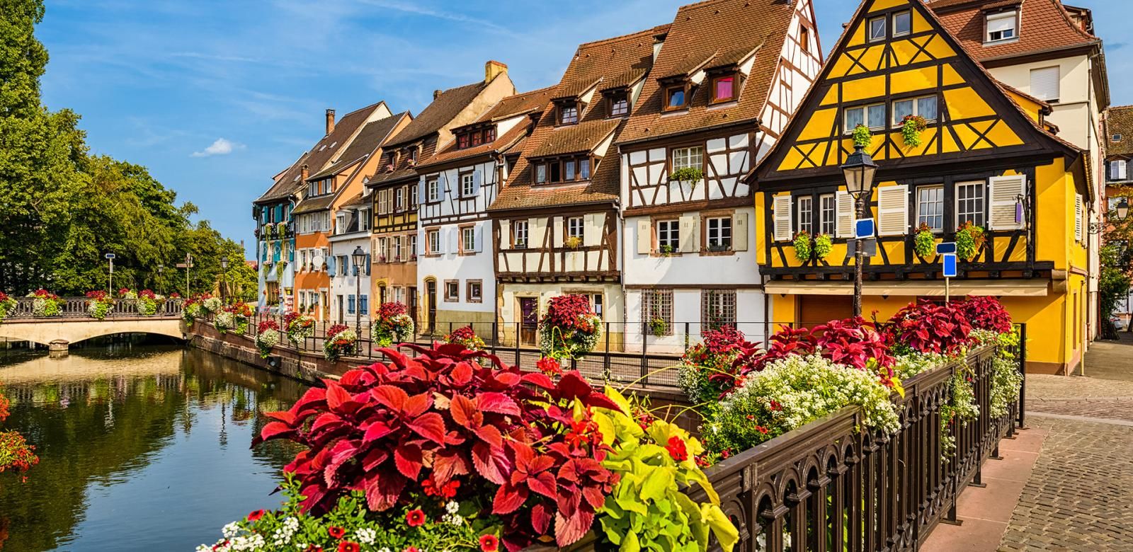
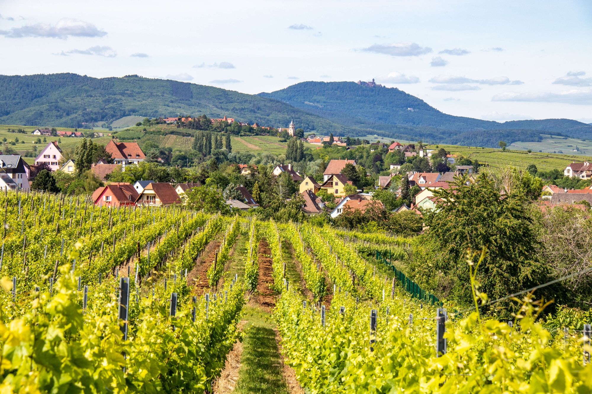
Walk along the forests of cherry, apple and plum trees and the fields of the Colmar-Houssen nautical base.
- Sværhedsgrad
-
let
- Evaluering
-
- Rute
-
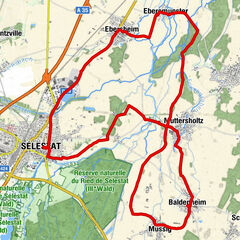
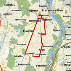
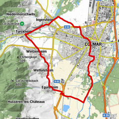
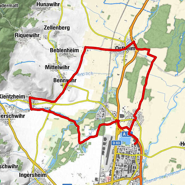
Am Colmarer Weg1,1 kmHausen1,8 kmÉglise Saint-Maurice1,9 kmTemple8,0 kmOstheim8,1 kmWasenlaender8,9 kmSewlochlaender10,7 kmDie Strasse11,5 kmBennweier12,8 kmChapelle Sainte-Anne14,9 kmSigolsheim15,2 kmAu bon coin15,6 kmAu Pont de la Fecht19,3 kmRestaurant "Waldeslust"20,1 kmSauwasen21,3 kmRosenkranz22,7 kmChapelle Notre-Dame23,0 kmOben am Rosenkranz23,2 kmMarbacherbreit23,8 km
- Bedste sæson
-
janfebmaraprmajjunjulaugsepoktnovdec
- Højeste punkt
- 216 m
- Destination
-
Beblenheim
- Højdeprofil
-
 © outdooractive.com


-

-
ForfatterRundvisningen Bike path: BL459 - Walks in the orchards around Colmar bruges af outdooractive.com forudsat.
GPS Downloads


Generel information
Flora
Lovende
Flere ture i regionerne
-
Haut-Rhin
60
-
Pays de Ribeauvillé
21