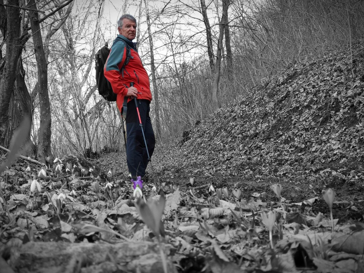
© Turizem Dolina Soce - Katja Humar

© Turizem Dolina Soce - Katja Humar


© Turizem Dolina Soce - Katja Humar


© Turizem Dolina Soce - Katja Humar

- Kort beskrivelse
-
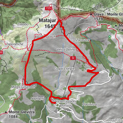
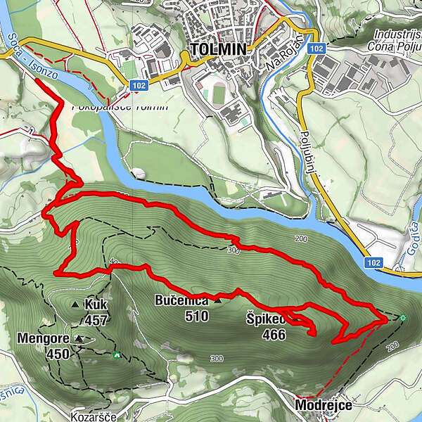
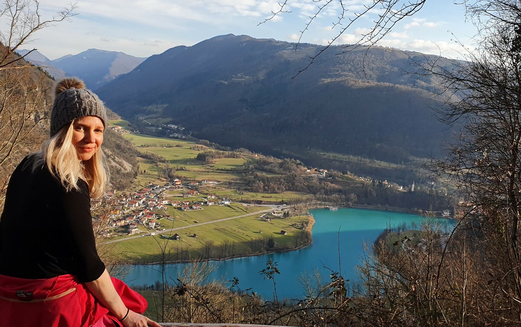
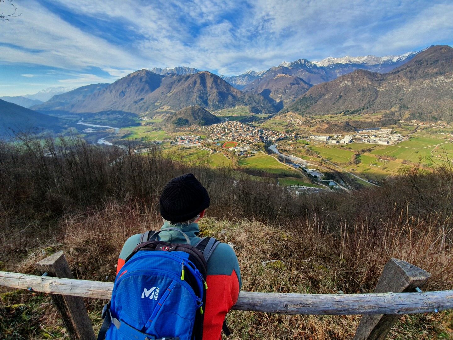
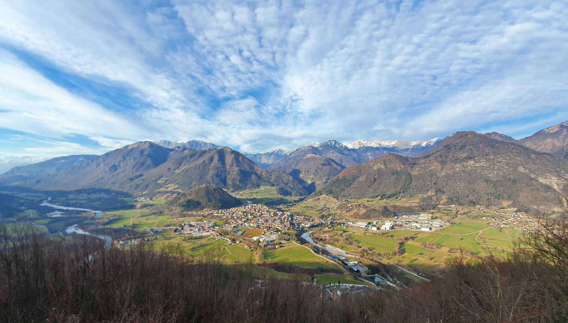
A gentle ascent around the steep slopes of Mt. Bučenica above the Soča River to the splendid sightseeing point on the top. On the eastern side of Mt. Bučenica, you can take in the view of the lake, whilst on the western side, you can take in the view of the town of Tolmin and the mountain chain in the background stretching all the way to Mt. Krn and Mt. Kanin.
- Sværhedsgrad
-
let
- Evaluering
-
- Rute
-
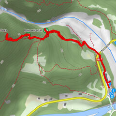
Modreuzza3,8 kmViewing point4,9 kmŠpikec (466 m)5,1 kmBučenica (510 m)5,7 km
- Bedste sæson
-
janfebmaraprmajjunjulaugsepoktnovdec
- Højeste punkt
- 509 m
- Destination
-
Mt. Bučenica
- Højdeprofil
-
 © outdooractive.com


-

-
ForfatterRundvisningen Tour to Mt. Bučenica from Labrca bruges af outdooractive.com forudsat.
GPS Downloads


Generel information
Helbredende klima
Lovende