
© Julische Alpen - Mitja Sodja
© Julische Alpen - Mitja Sodja

© Julische Alpen - Mitja Sodja
© Julische Alpen - Mitja Sodja
© Julische Alpen - Mitja Sodja
© Julische Alpen - Mitja Sodja
© Julische Alpen - Mitja Sodja
© Julische Alpen - Mitja Sodja
© Julische Alpen - Mitja Sodja
© Julische Alpen - Mitja Sodja
- Kort beskrivelse
-
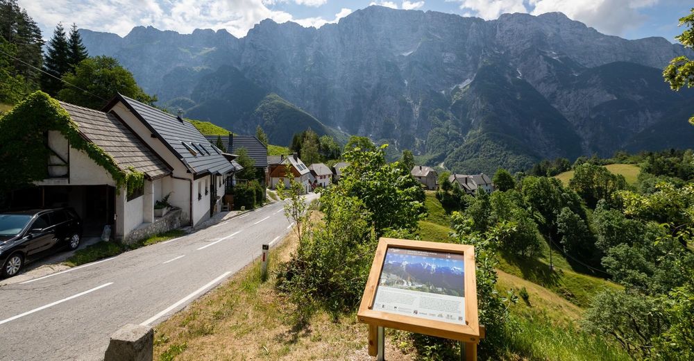
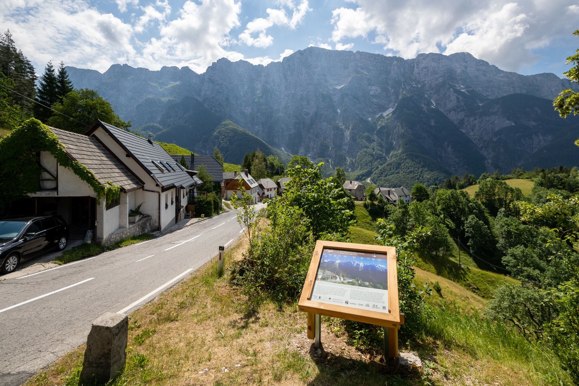
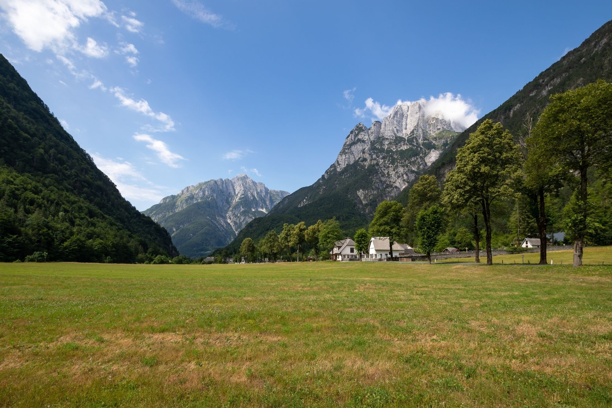
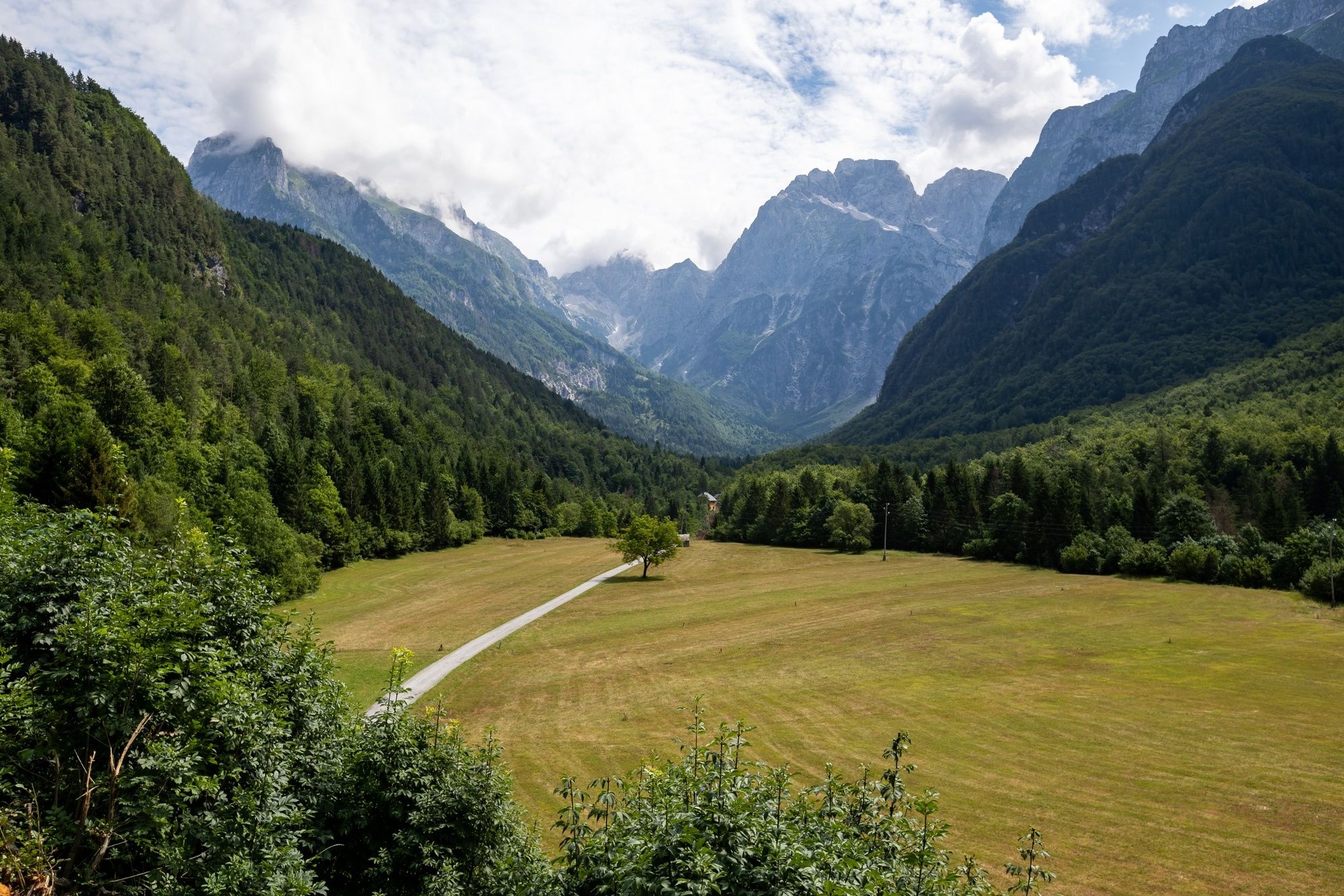
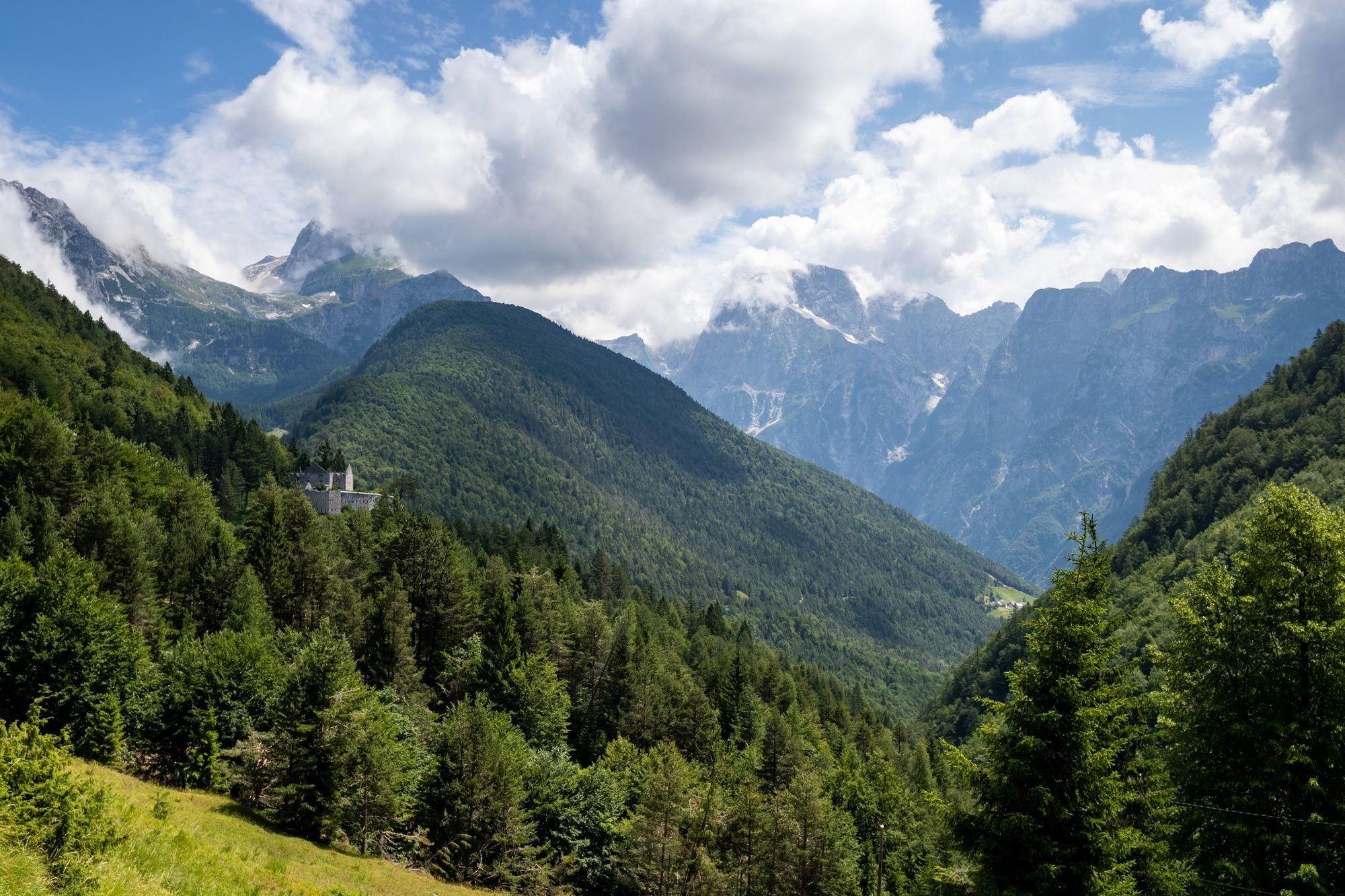
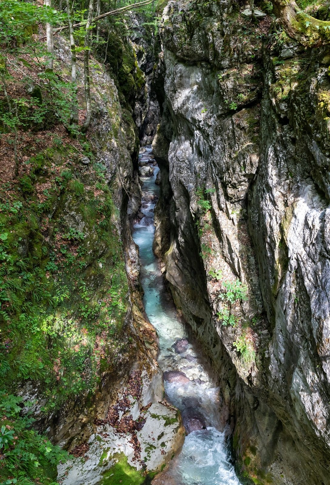
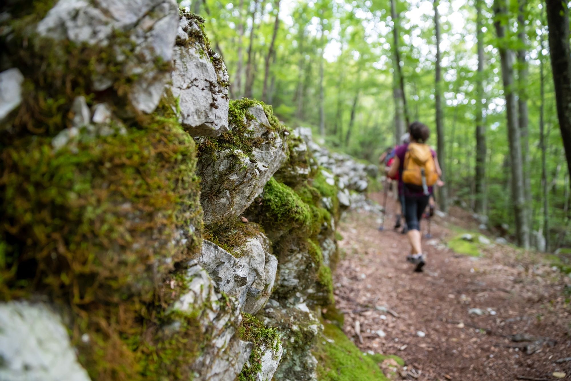
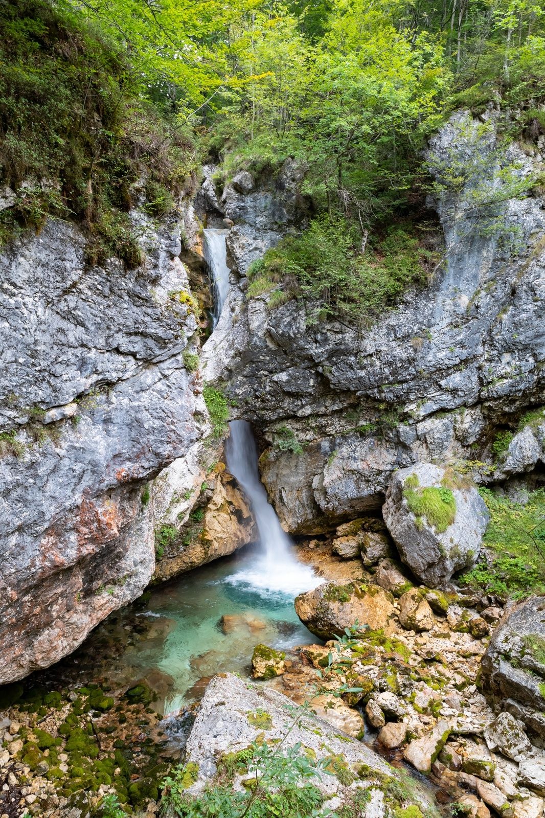
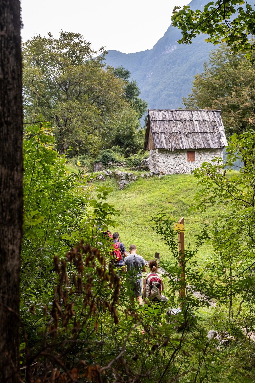
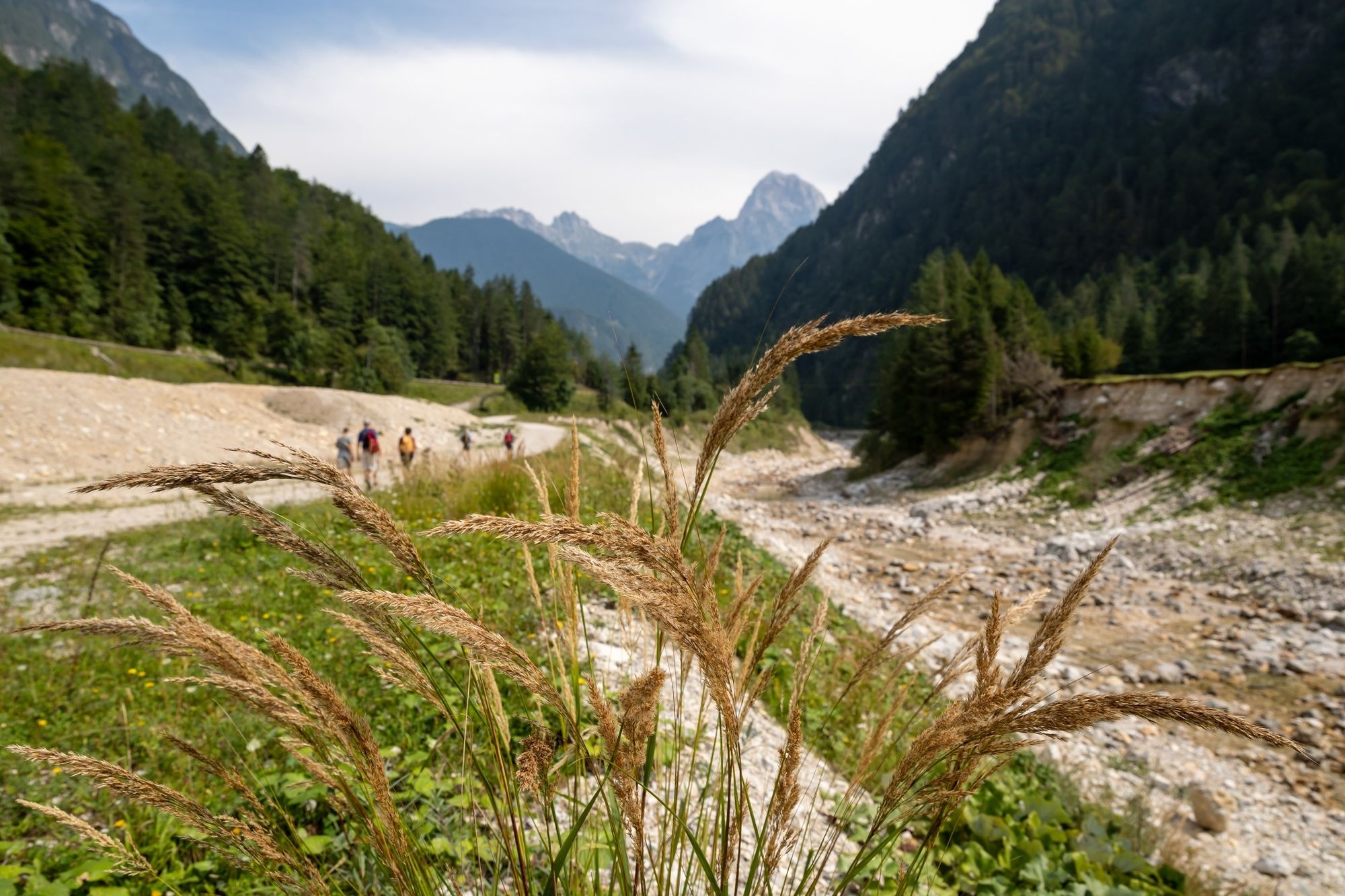
This is the highest ascent on the Primorska side of Juliana – from Log pod Mangartom we make approximately 600 metres in altitude to Predil Pass and enter Italy.
- Sværhedsgrad
-
tung
- Evaluering
-
- Rute
-
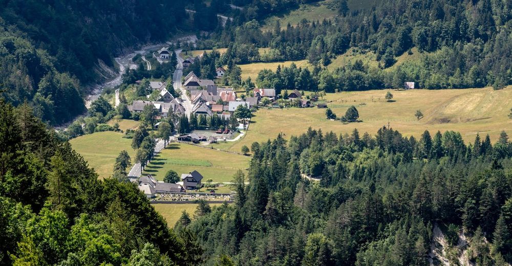
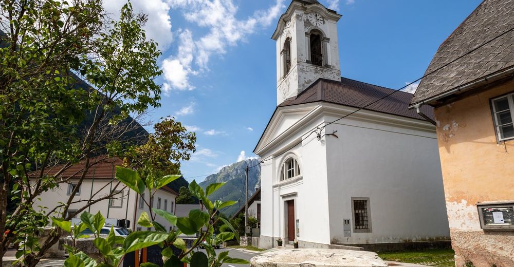
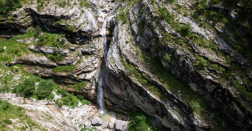
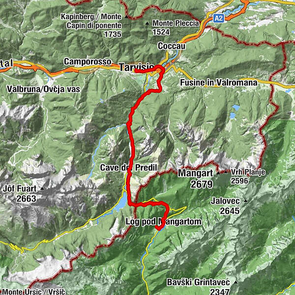
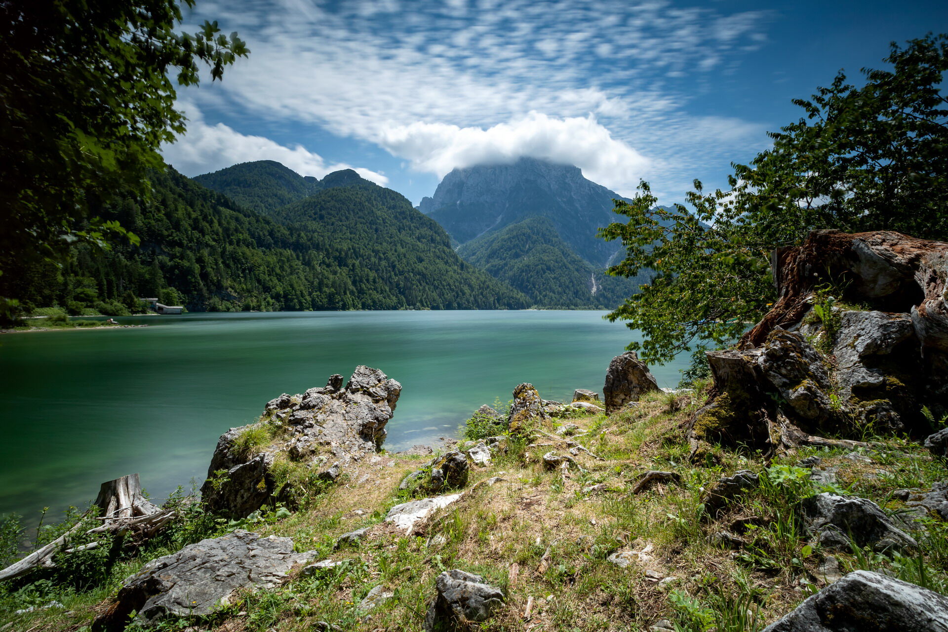
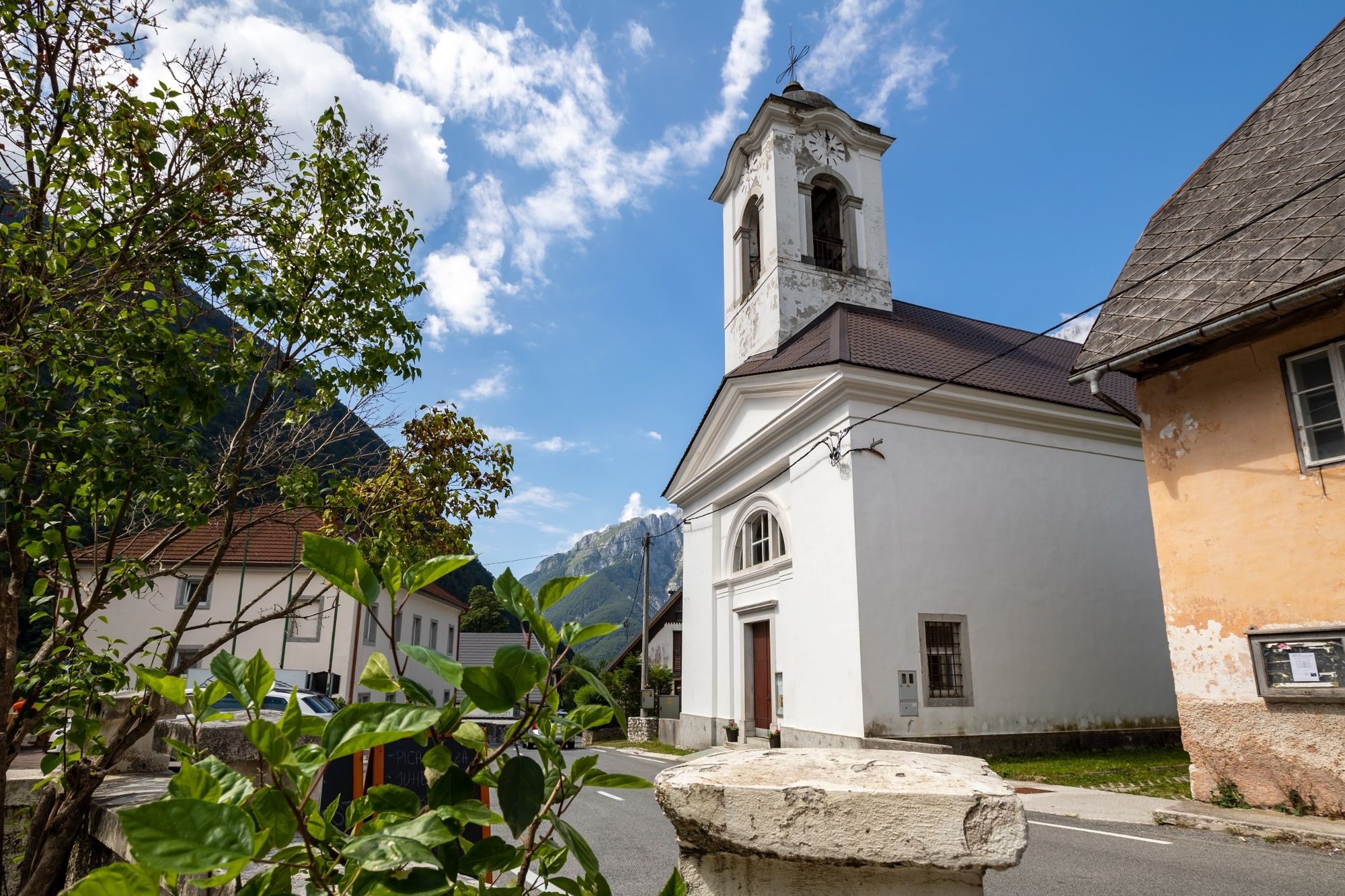
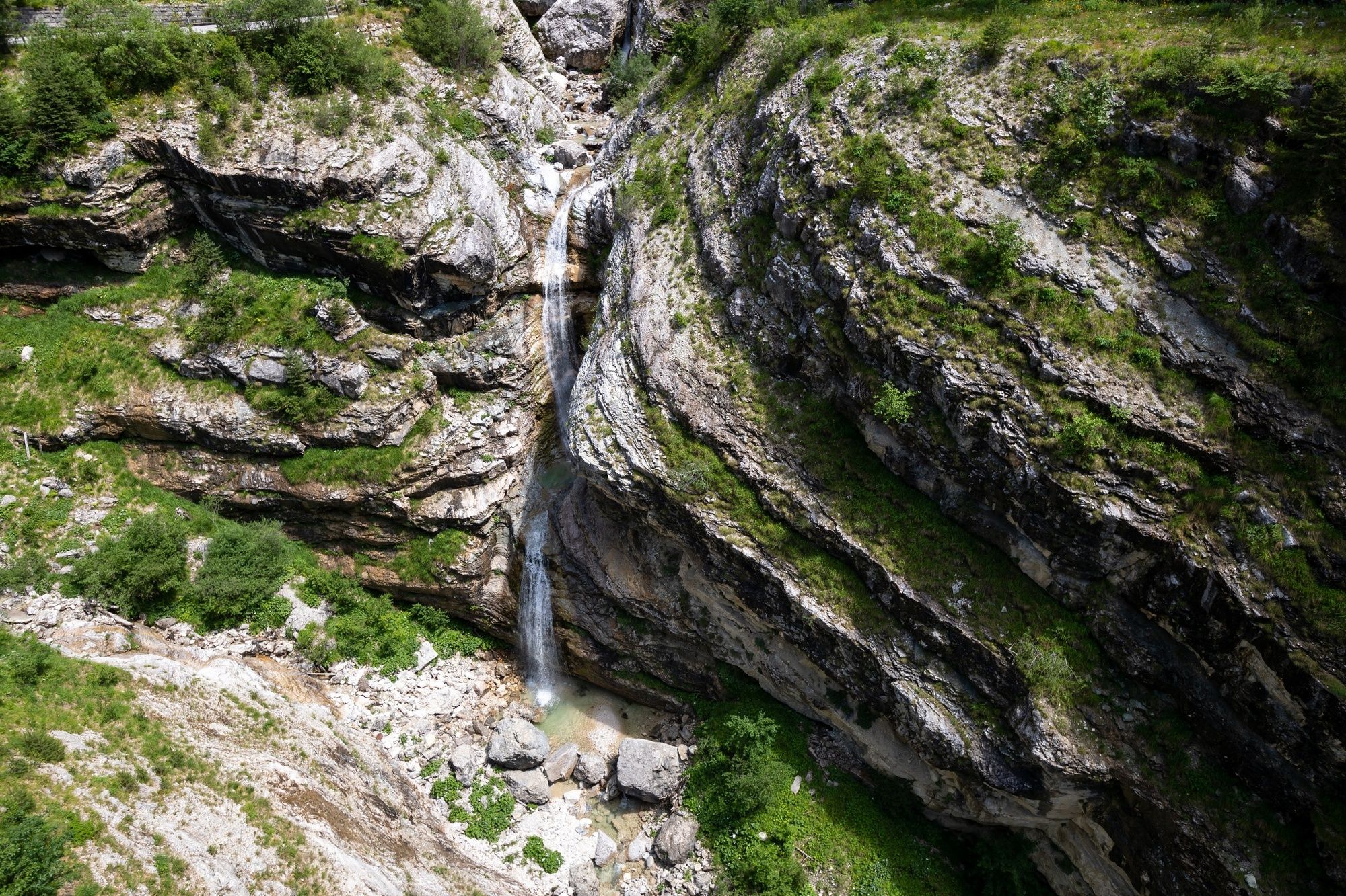
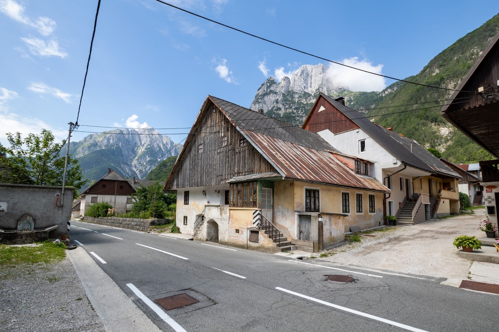
Brettendorf0,7 kmGorenji Log0,8 kmSlap Zaročenca3,6 kmSmaragdno oko4,3 kmPredelski slap4,3 kmGostilna Hermanov hram5,0 kmNuova Parrocchiale8,4 kmKirche Sankt Anna8,4 kmRaibl8,4 kmMauth10,9 kmKaltwasser (833 m)12,2 kmCiutte14,0 kmFlitschl (745 m)14,9 kmChiesa dei Santi Filippo e Giacomo14,9 kmKlein Greuth17,0 kmTarvis20,6 km
- Bedste sæson
-
janfebmaraprmajjunjulaugsepoktnovdec
- Højeste punkt
- 1.158 m
- Destination
-
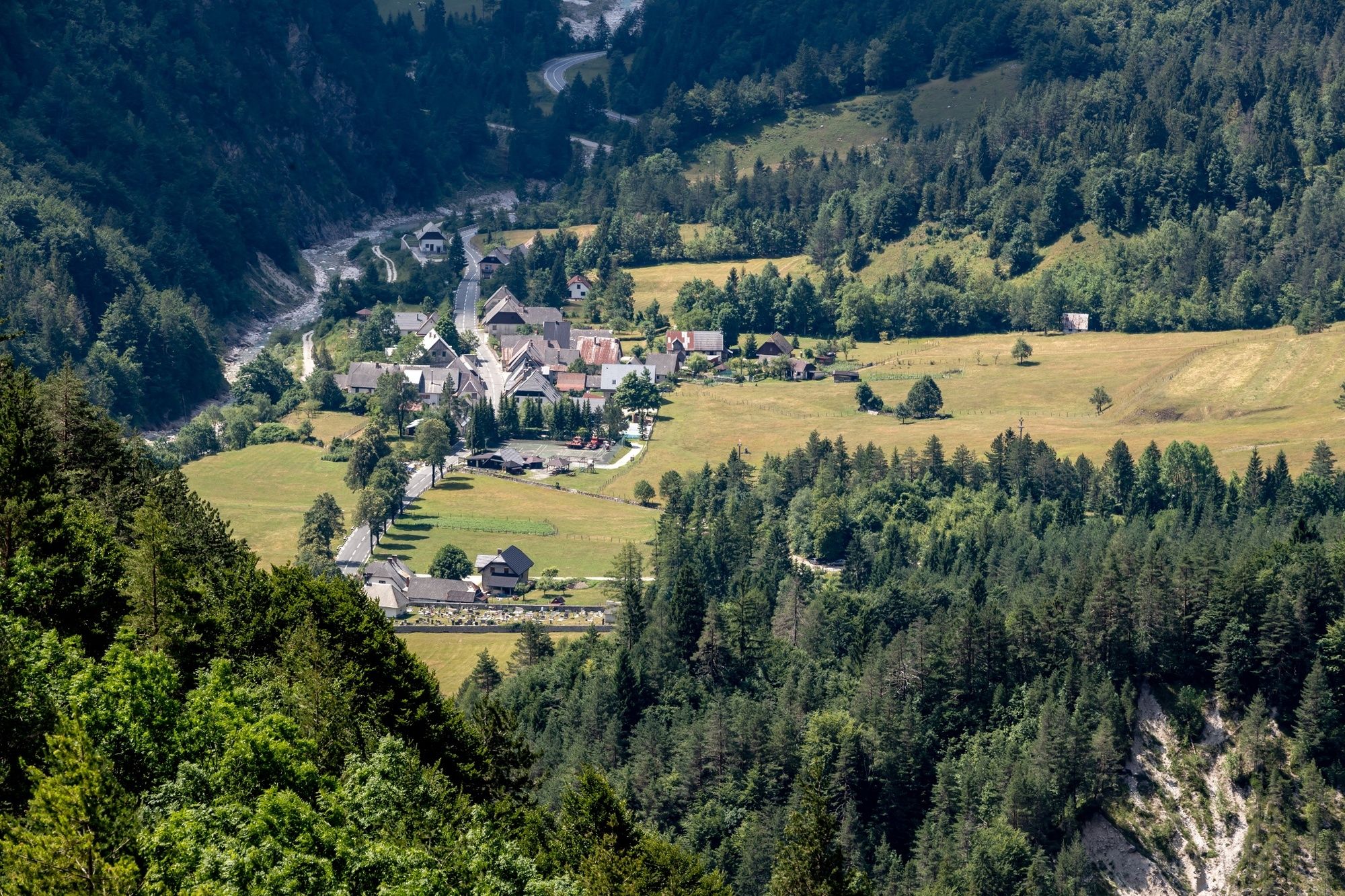
Centre of Cave del Predil.
- Højdeprofil
-
 © outdooractive.com


- Forfatter
-
Rundvisningen JULIANA TRAIL: stage 15 Log pod Mangartom - Tarvisio (ITALY) bruges af outdooractive.com forudsat.
GPS Downloads


Generel information
Forfriskningsstop
Helbredende klima
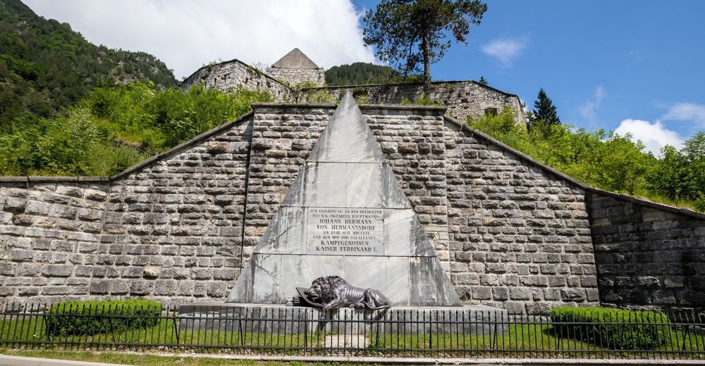
Kulturel/Historisk
Flora
Lovende
Flere ture i regionerne


