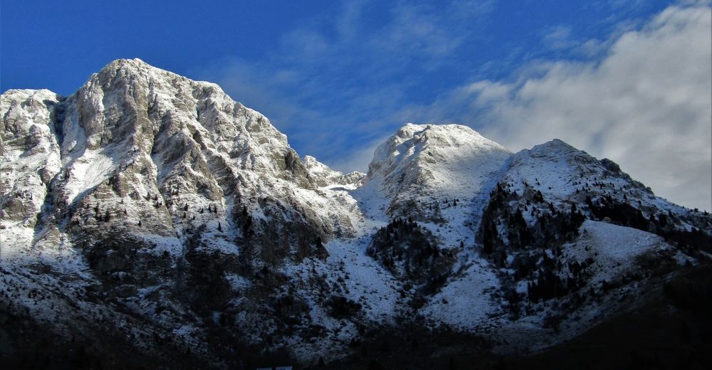
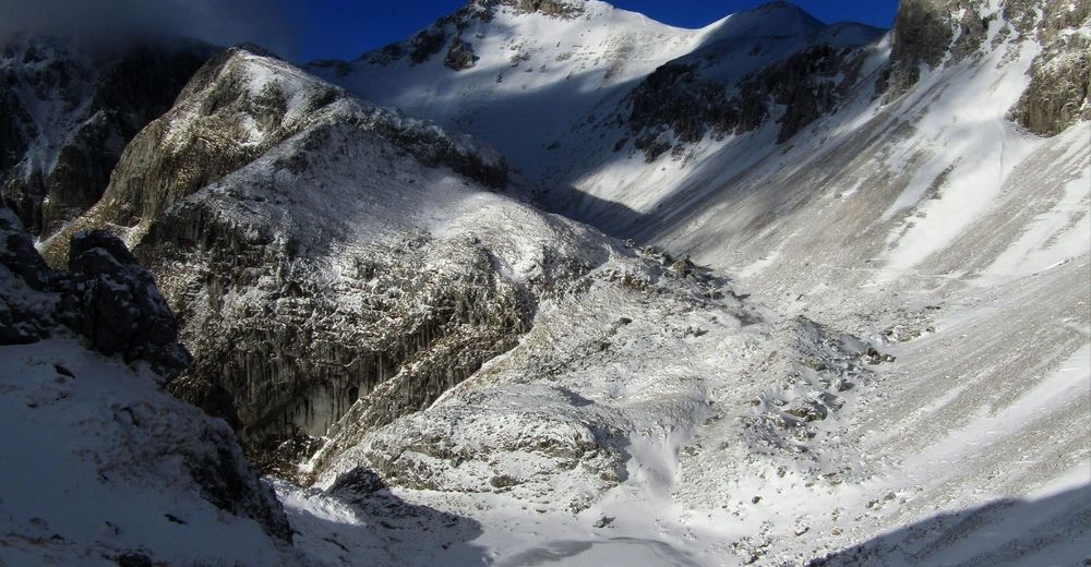
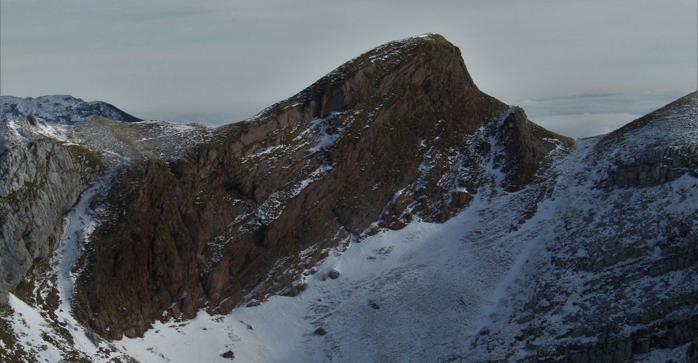
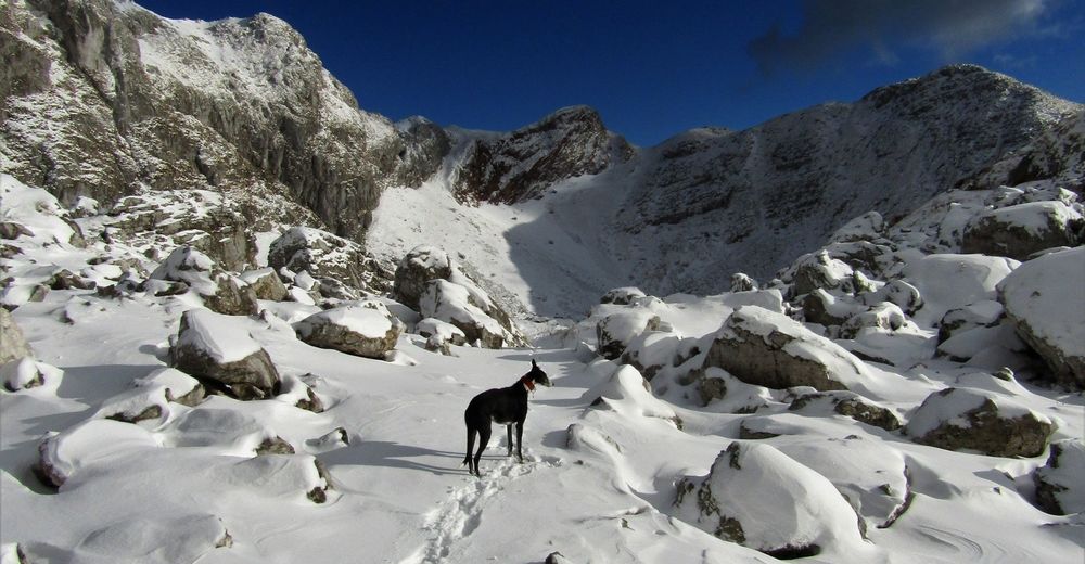
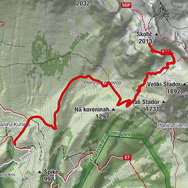
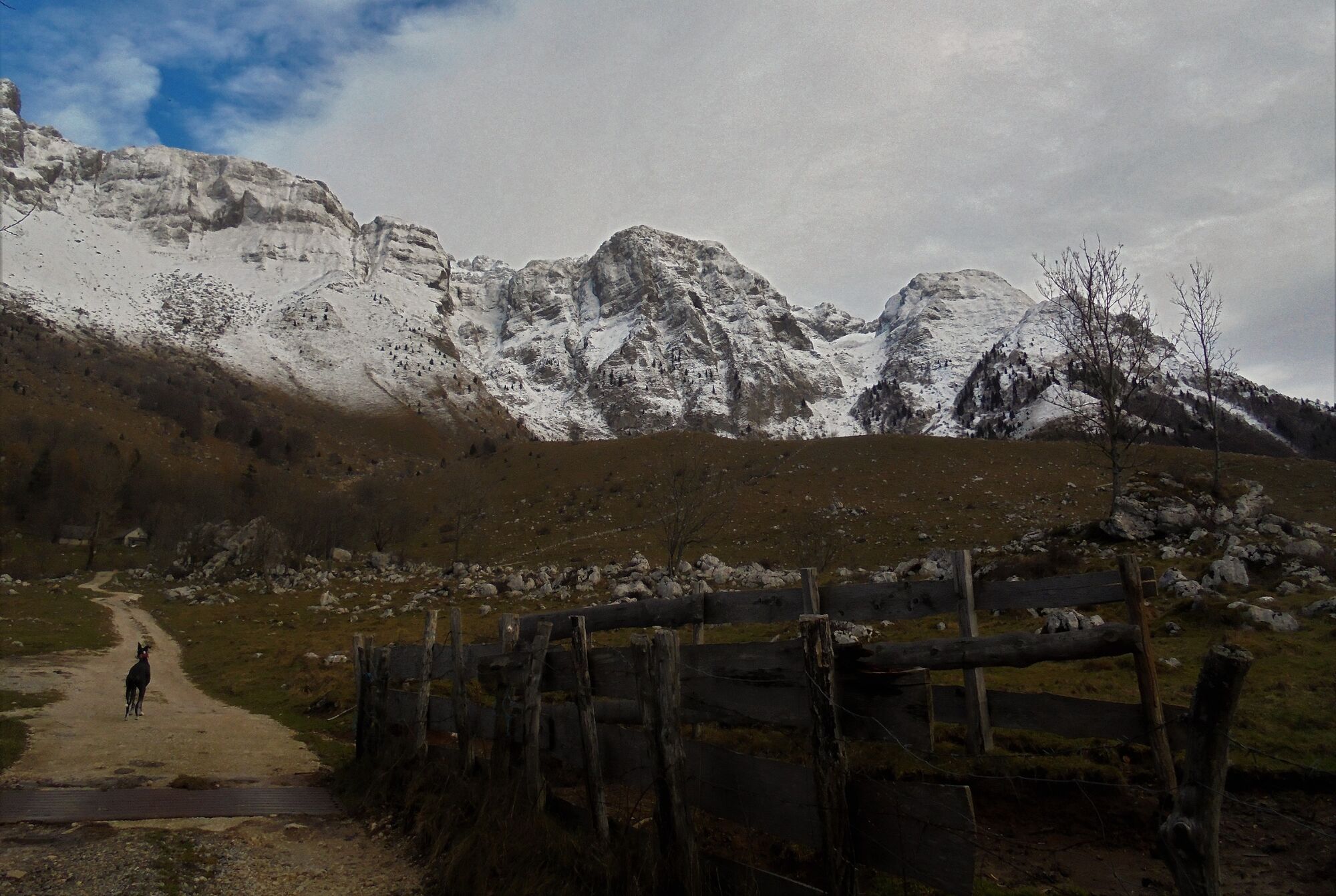
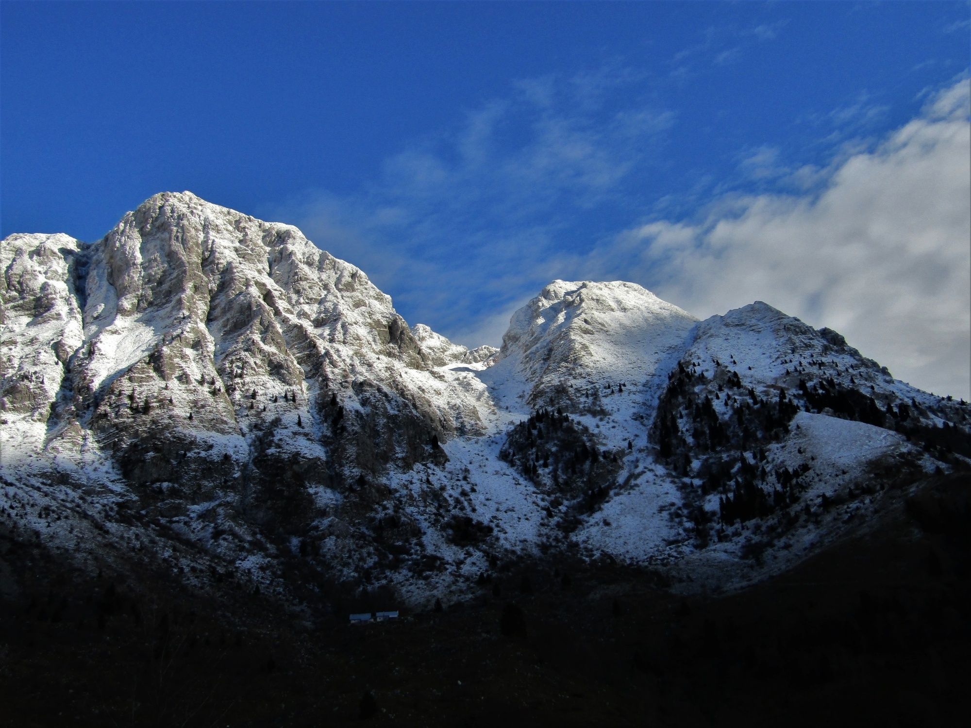
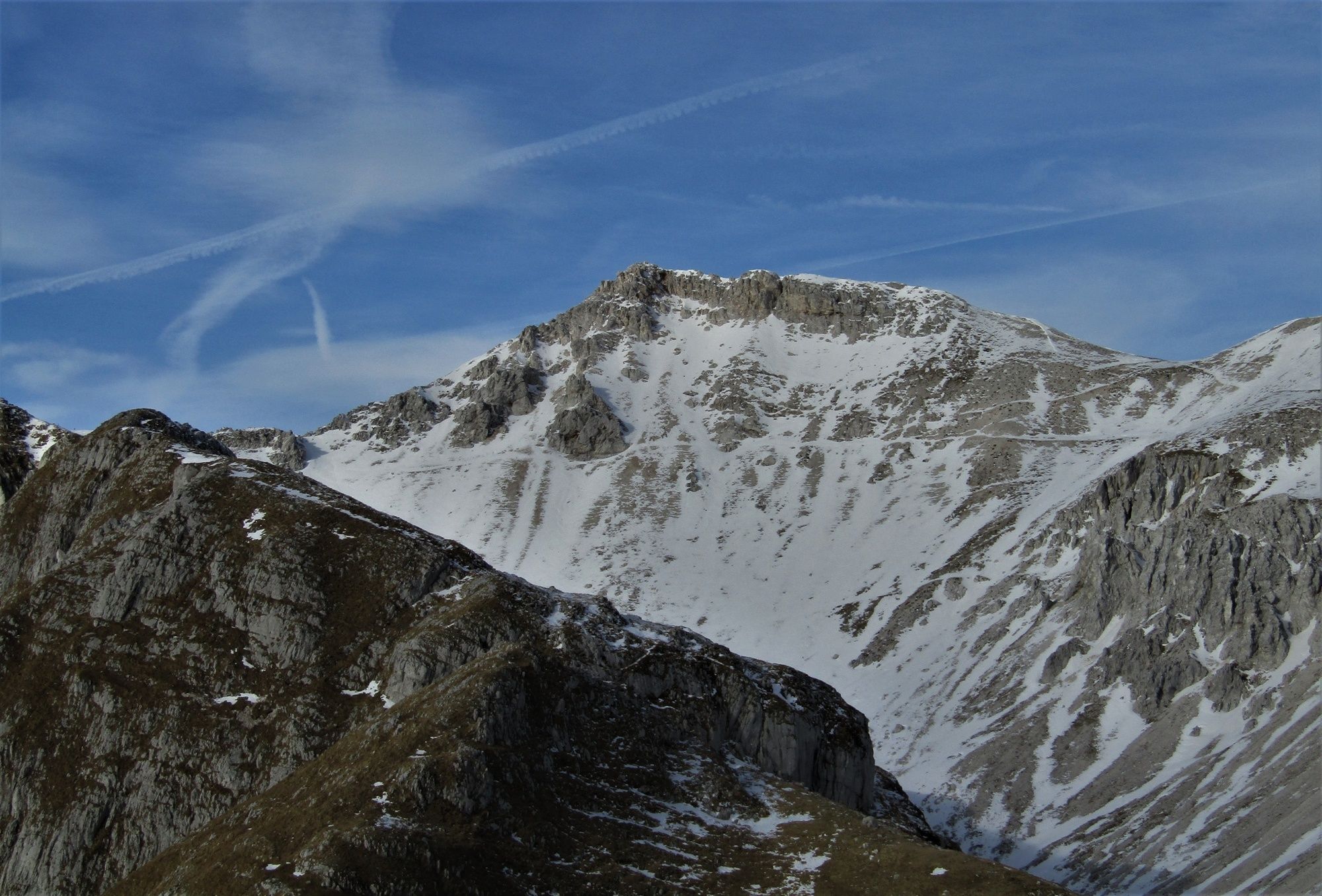
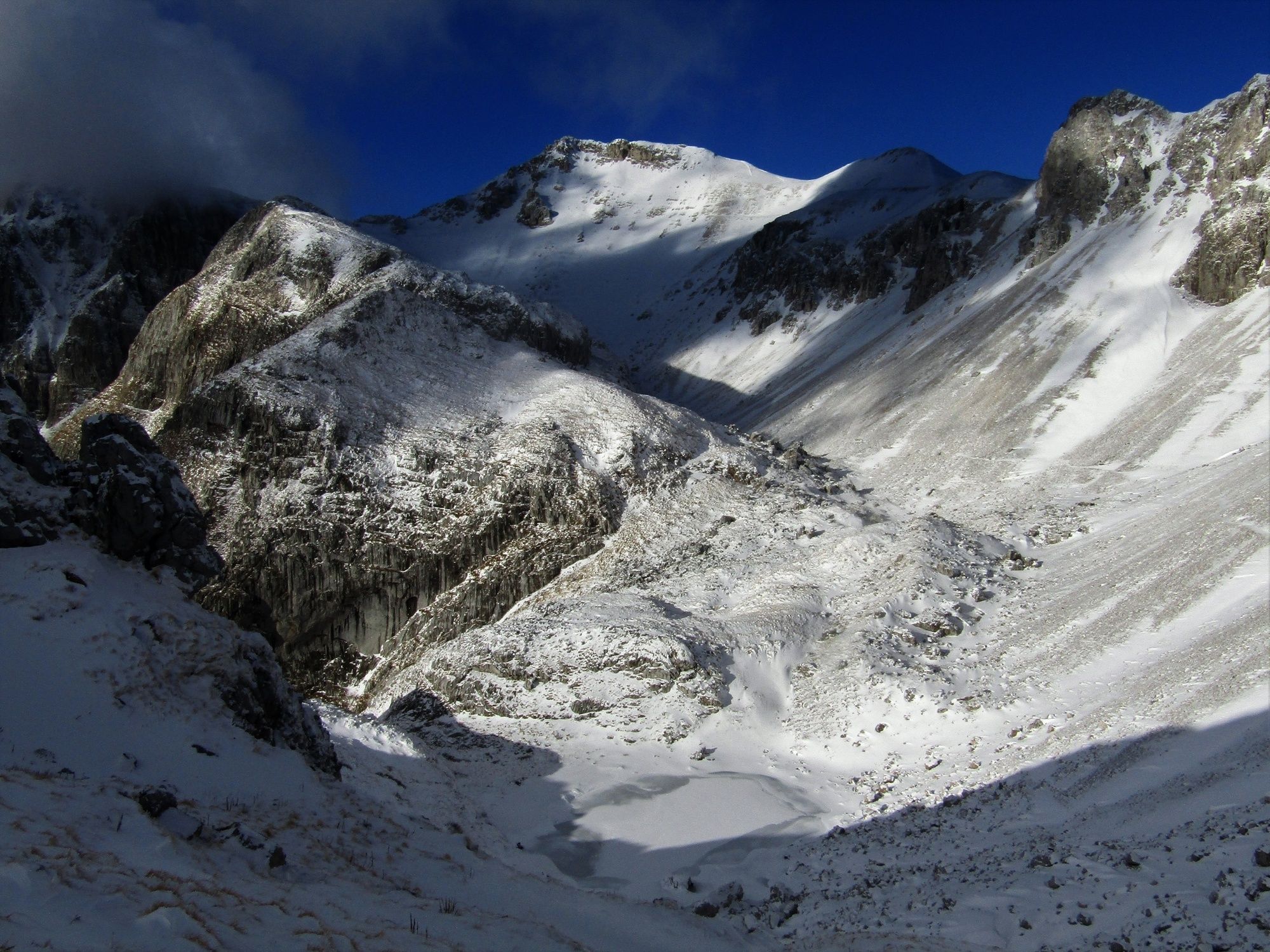
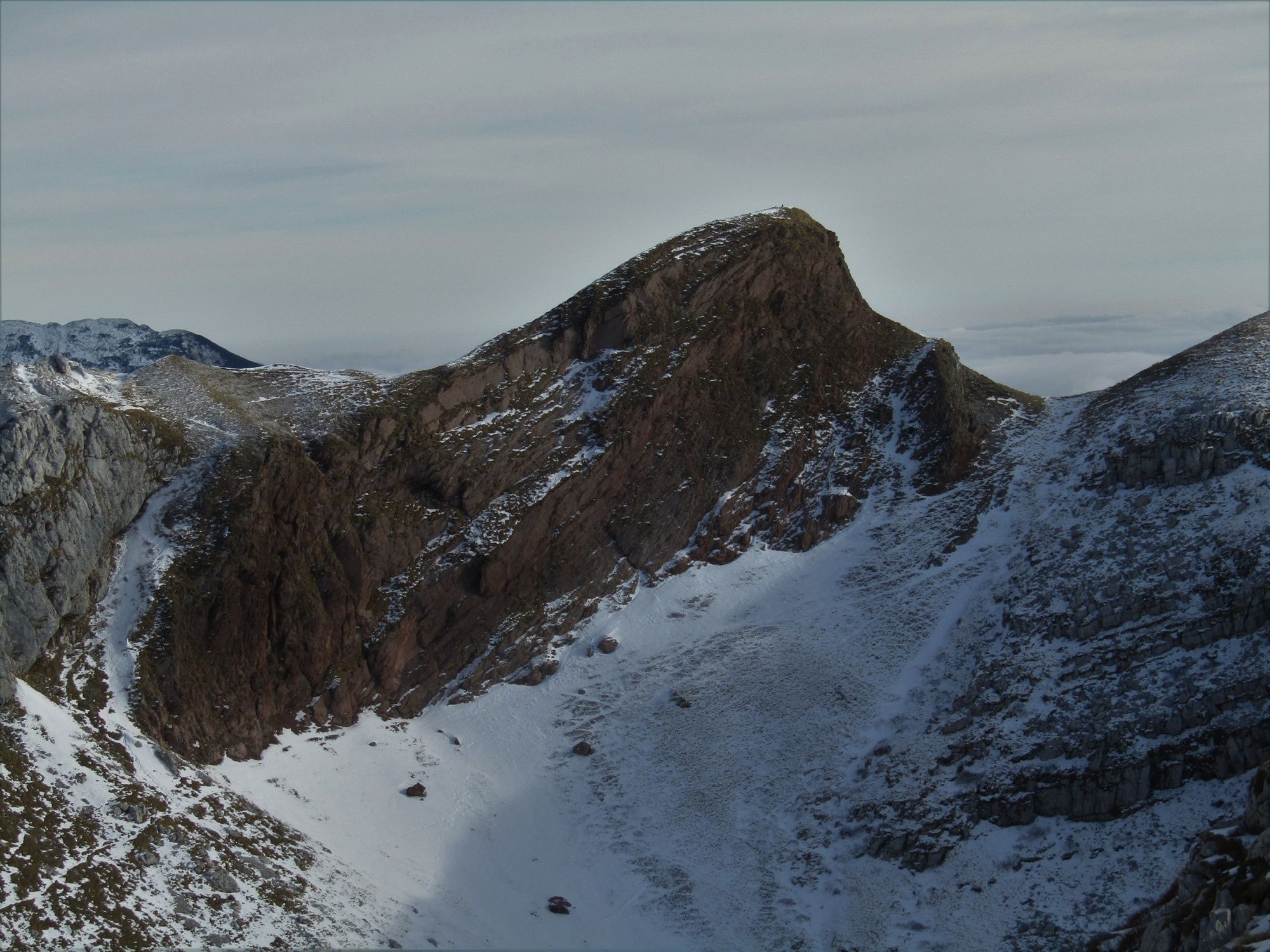
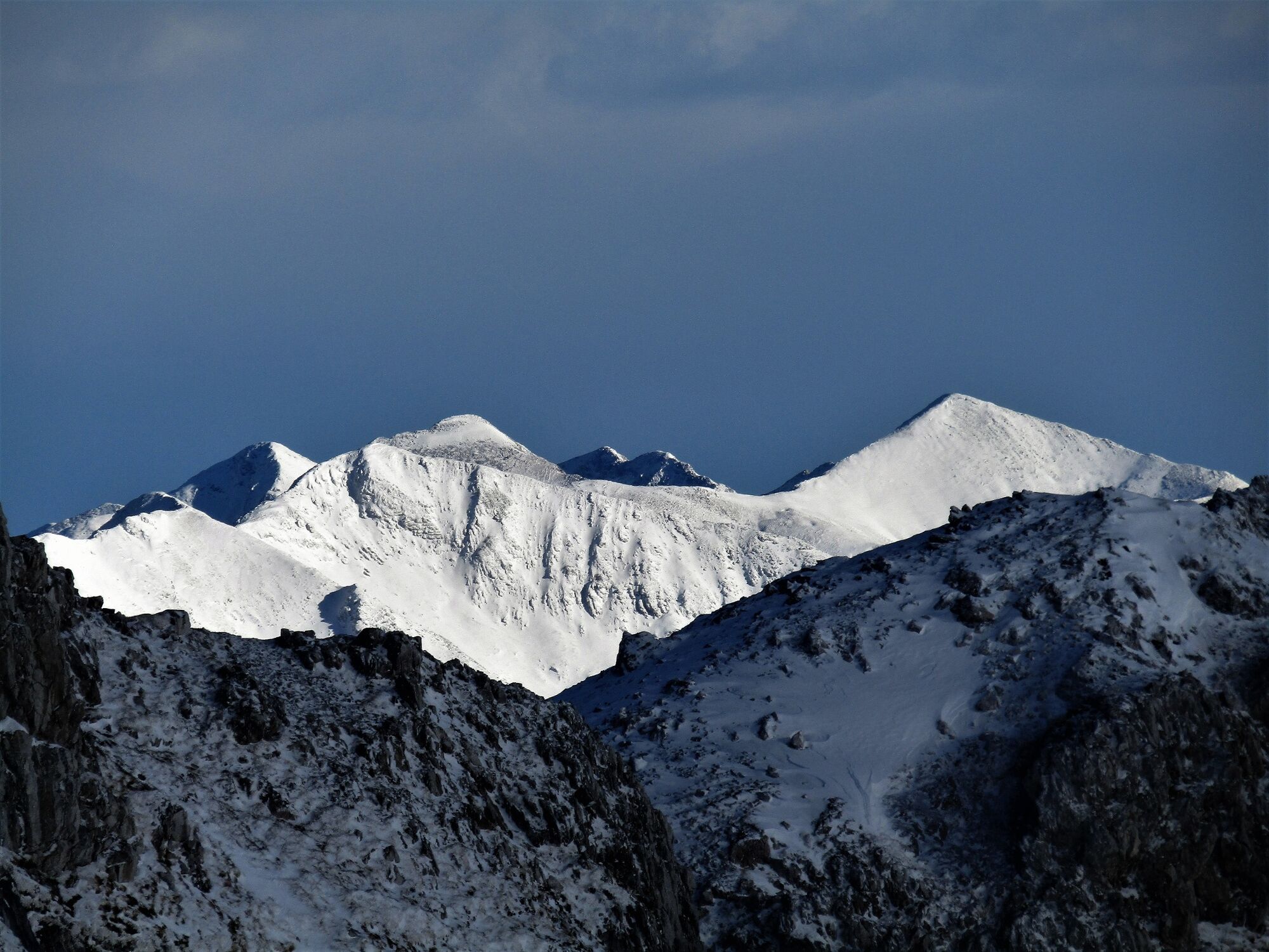
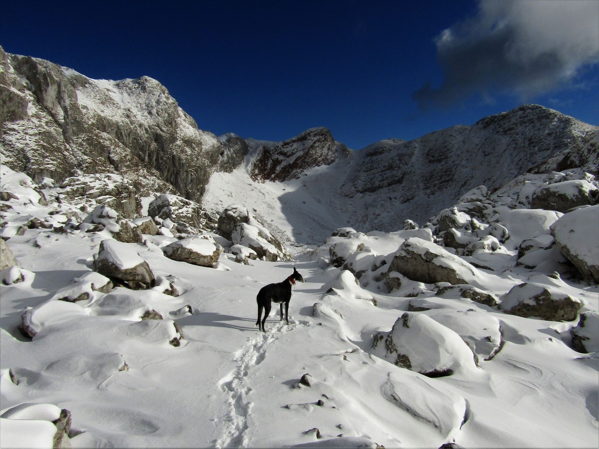
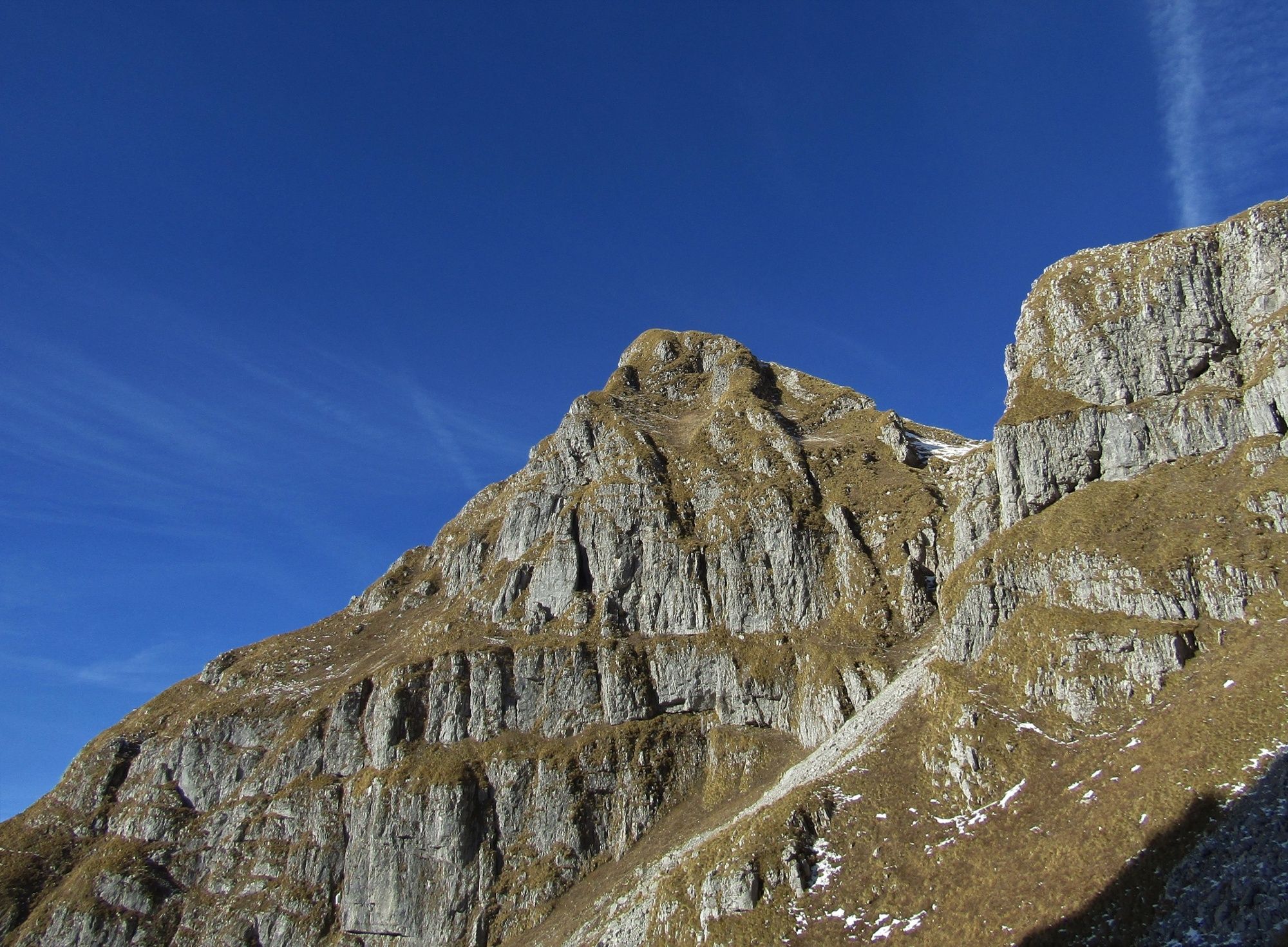
Mt. Maselnik (1903 m), a sentinel in front of the entrance into the Lužnica Valley


© Turizem Dolina Soce - Ksenija Vogrinc
© Turizem Dolina Soce - Ksenija Vogrinc
© Turizem Dolina Soce - Ksenija Vogrinc
© Turizem Dolina Soce - Ksenija Vogrinc
© Turizem Dolina Soce - Ksenija Vogrinc
© Turizem Dolina Soce - Ksenija Vogrinc
© Turizem Dolina Soce - Ksenija Vogrinc
© Turizem Dolina Soce - Ksenija Vogrinc

© Turizem Dolina Soce - Ksenija Vogrinc
© Turizem Dolina Soce - Ksenija Vogrinc

- Kort beskrivelse
-
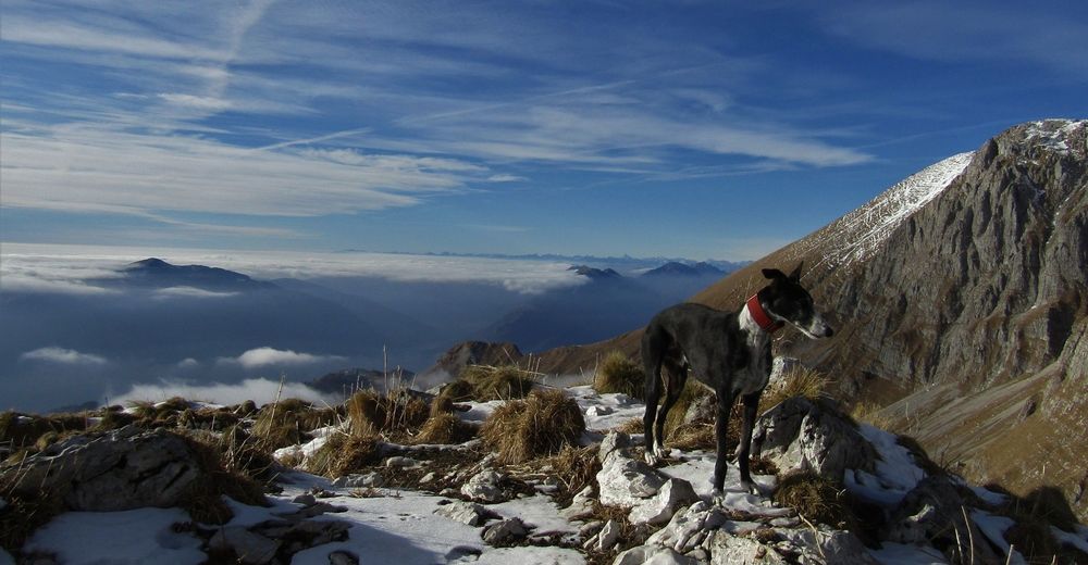
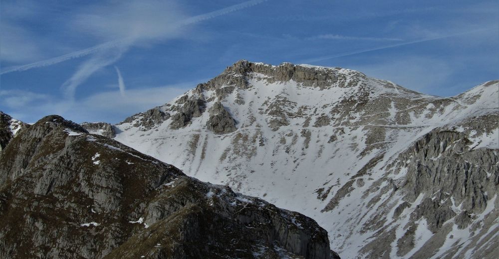
Mt. Maselnik is located at the beginning of the mountain chain surrounding the lake in the Lužnica Valley. The prominent summit of this mountain offers splendid views of the Soča Valley, Julian Alps and all the way to the Dolomites Mountain range if the visibility is good.
- Sværhedsgrad
-
medium
- Evaluering
-
- Rute
-
Planina Kuhinja0,2 kmPlanina Leskovca2,1 kmPlanina Leskovca7,5 kmPlanina Kuhinja9,5 km
- Bedste sæson
-
janfebmaraprmajjunjulaugsepoktnovdec
- Højeste punkt
- 1.842 m
- Destination
-
Mt. Maselnik (1903 m)
- Højdeprofil
-
 © outdooractive.com


-

-
ForfatterRundvisningen Mt. Maselnik (1903 m), a sentinel in front of the entrance into the Lužnica Valley bruges af outdooractive.com forudsat.
GPS Downloads


Generel information
Helbredende klima
Lovende


