© Outdooractive – 3D Videos
© Vipava - Tal - Sonja Mužina

© Vipava - Tal - Sonja Mužina

© Vipava - Tal - Sonja Mužina

© Vipava - Tal - Sonja Mužina

- Kort beskrivelse
-
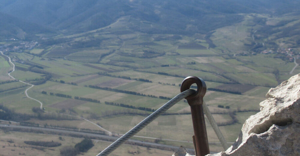
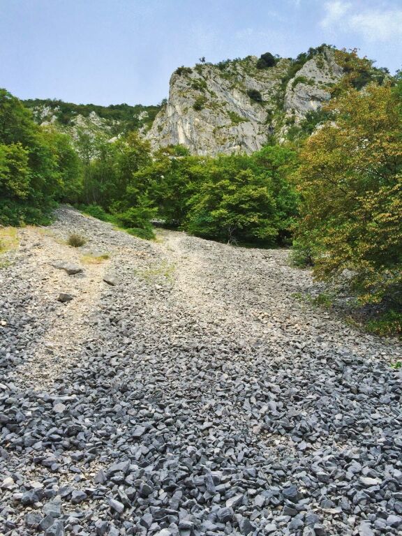
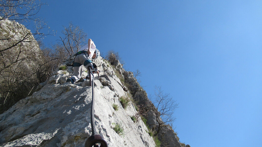
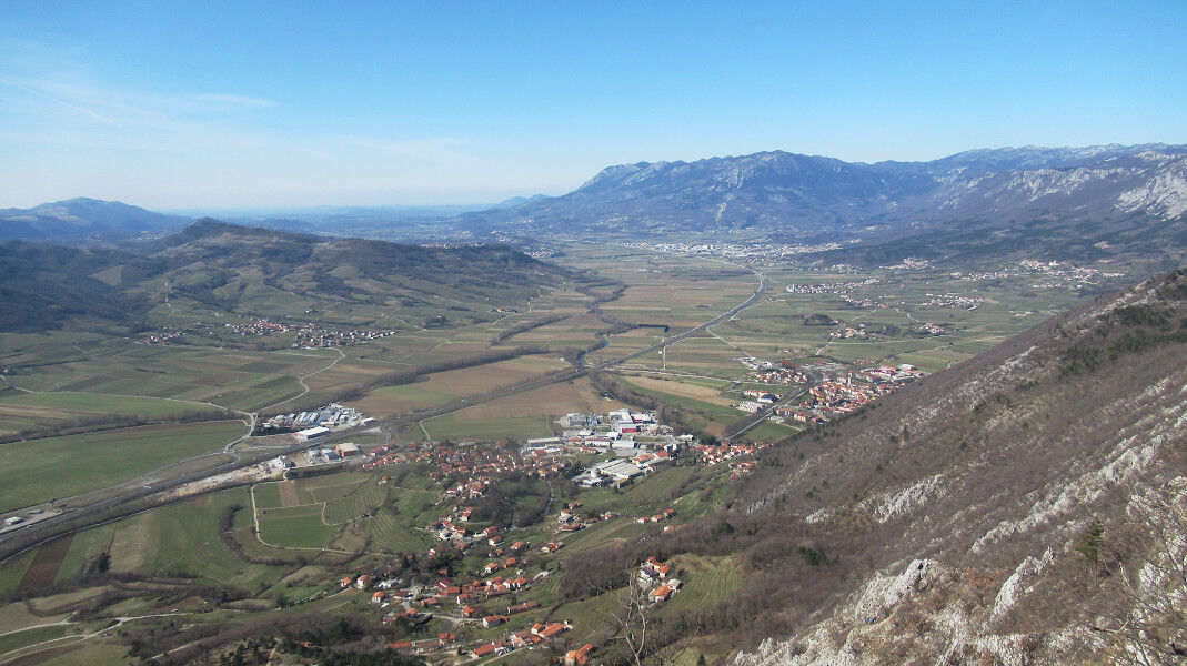
Gradiška Tura rises to a height of 793 meters above sea level. Leading up to it is the most demanding but also the most exciting hike in the Vipava Valley. Due to its position facing the sun hikers can reach the summit all year round, and the hike has a massive payoff in the spectacular views of the Vipava Valley you will get at the top. Abram’s farm will serve you up some of the best local delicacies, including the supremely popular goulash made with wild game from the forests around Otlica.
- Sværhedsgrad
-
tung
- Evaluering
-
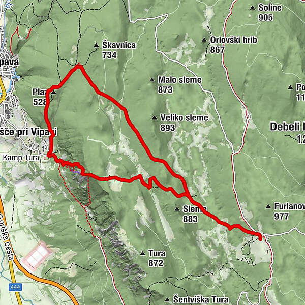
- Rute
-
Gradiška Tura (žig) (754 m)1,1 kmNanos5,0 km
- Bedste sæson
-
janfebmaraprmajjunjulaugsepoktnovdec
- Højeste punkt
- 900 m
- Destination
-
The large parking lot at the Tura Campsite above Gradišče pri Vipavi
- Højdeprofil
-
 © outdooractive.com


- Forfatter
-
Rundvisningen Gradiška Tura (via ferrata) – Abram bruges af outdooractive.com forudsat.