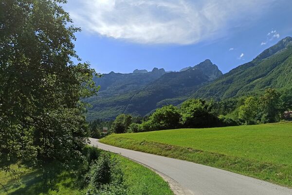
© Turizem Dolina Soce - Ksenija Vogrinc

© Turizem Dolina Soce - Ksenija Vogrinc

© Turizem Dolina Soce - Ksenija Vogrinc

© Turizem Dolina Soce - Ksenija Vogrinc

© Turizem Dolina Soce - Ksenija Vogrinc

© Turizem Dolina Soce - Ksenija Vogrinc

© Turizem Dolina Soce - Ksenija Vogrinc

© Turizem Dolina Soce - Ksenija Vogrinc

© Turizem Dolina Soce - Ksenija Vogrinc

© Turizem Dolina Soce - Ksenija Vogrinc

- Kort beskrivelse
-
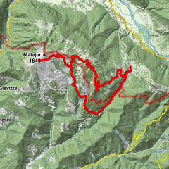
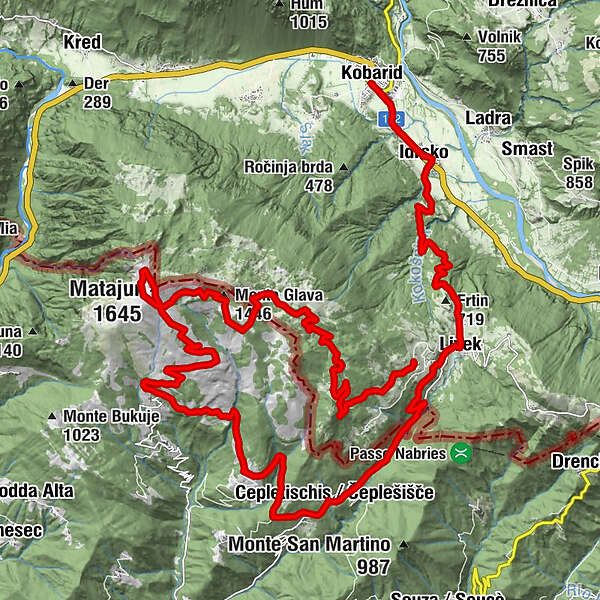
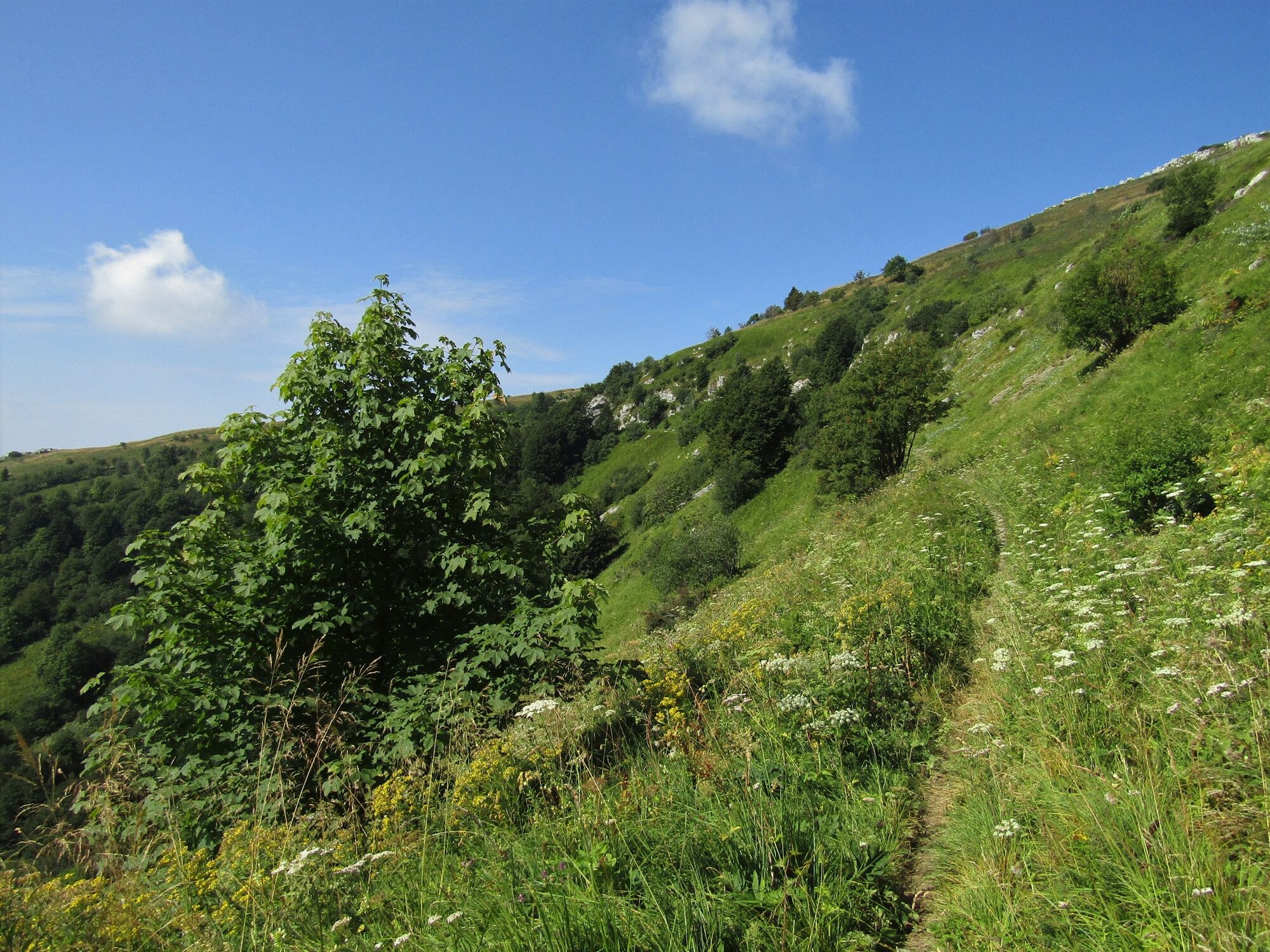
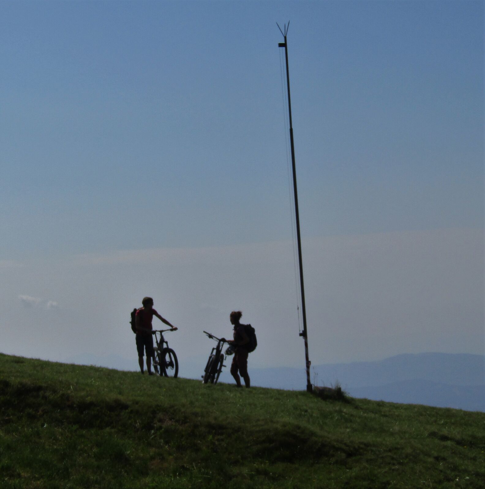
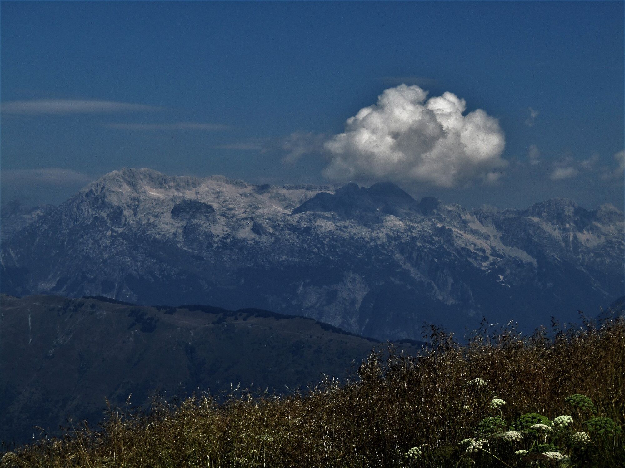
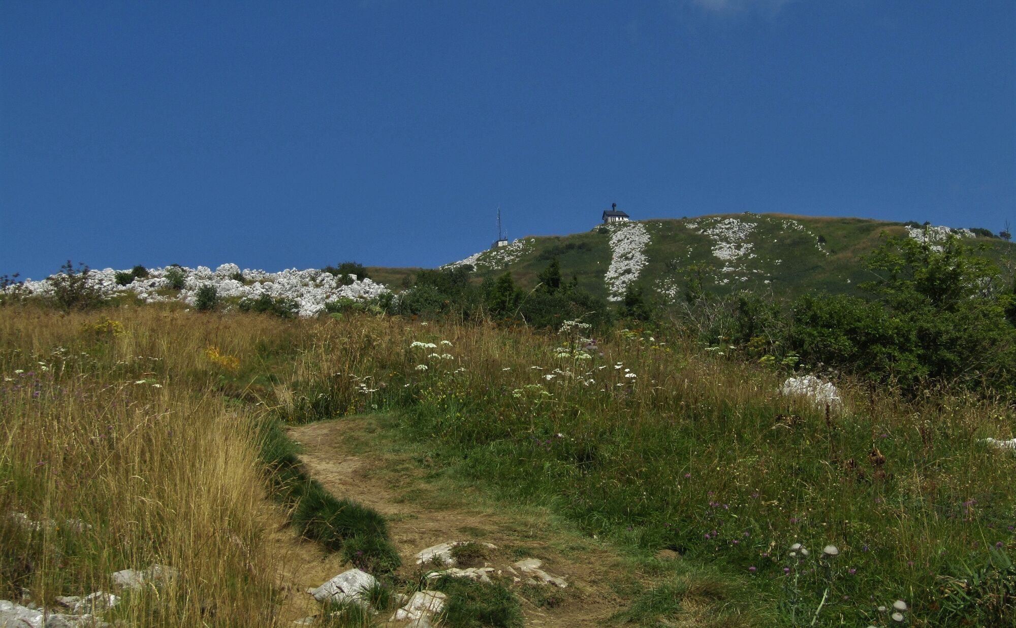
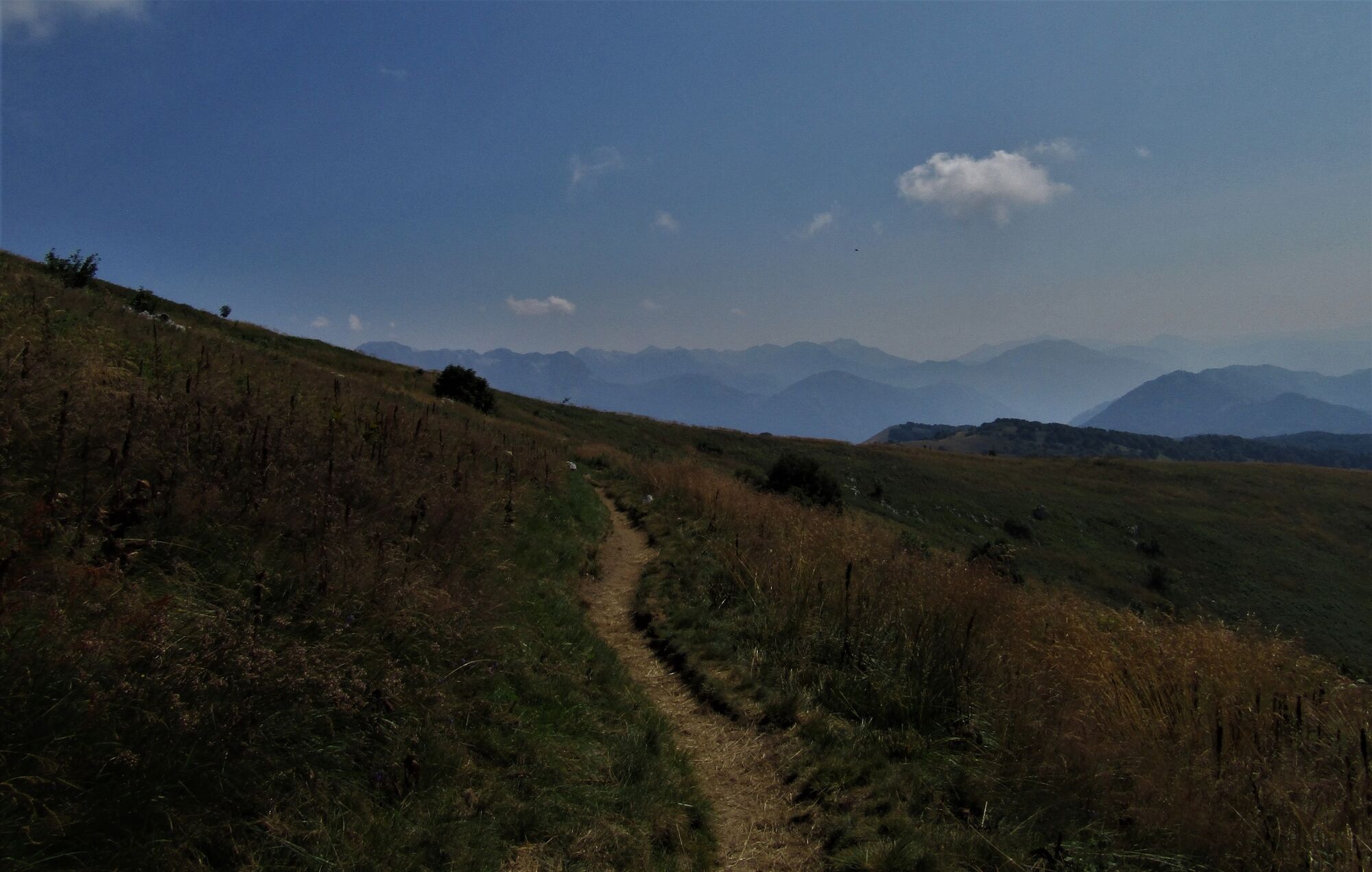
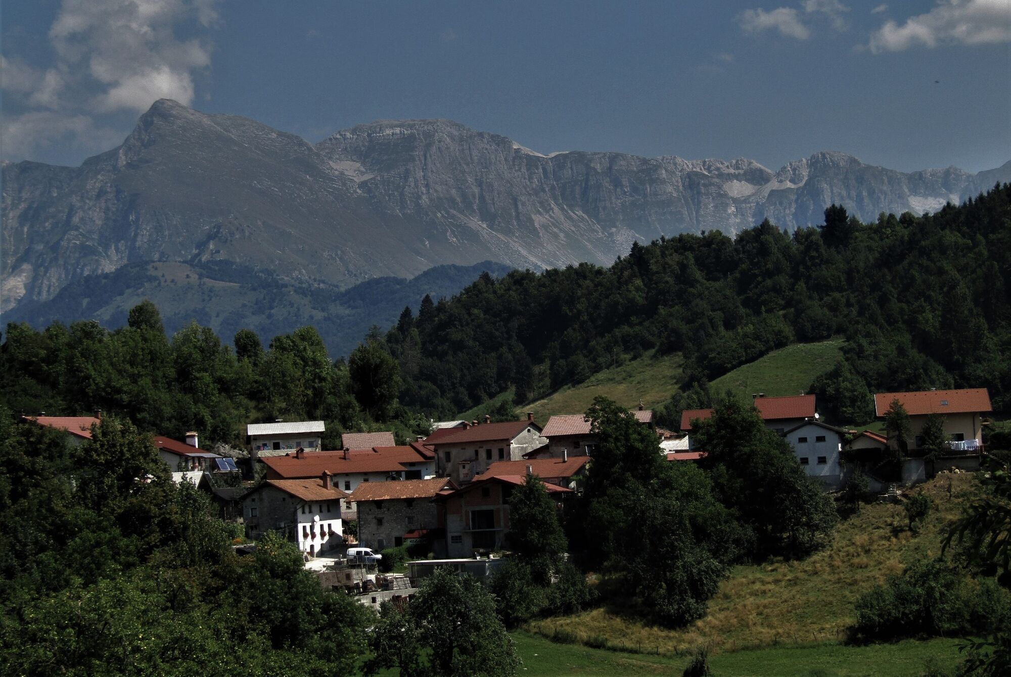
This tour to a wonderful sightseeing hill above the Soča Valley never disappoints and is appropriate for well-prepared cyclists. Because it is technically undemanding it is also appropriate for less experiences cyclists.
- Sværhedsgrad
-
tung
- Evaluering
-
- Rute
-
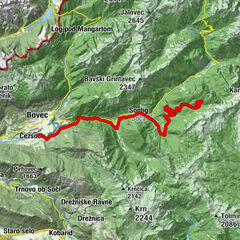
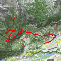
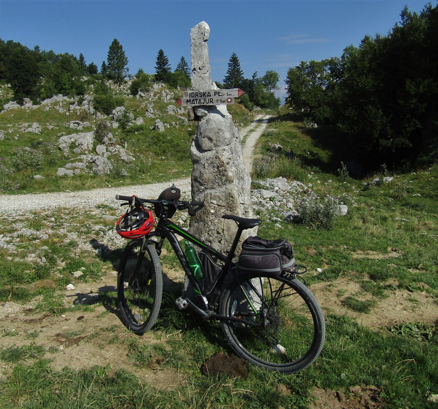
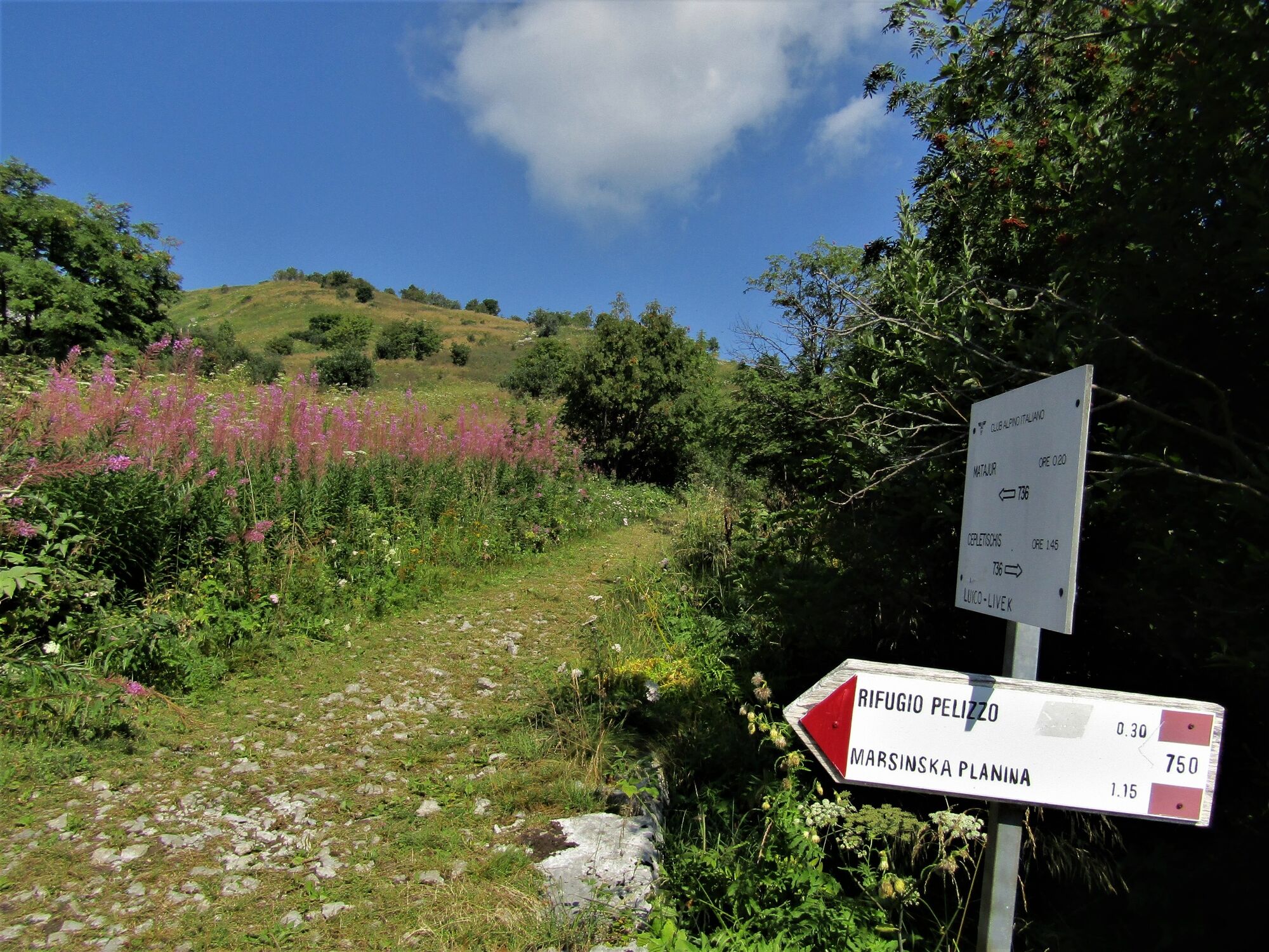
Alsbach0,1 kmJelenov Breg pod Matajurjem0,1 kmSrednji vrh (1.323 m)5,9 kmMonte Glava (1.446 m)8,6 kmMatajur (1.645 m)11,5 kmRifugio Alpino Guglielmo Pelizzo12,8 kmMontemaggiore16,7 kmLosaz18,0 kmMasseris19,5 kmRistorante Vartacia21,5 kmGabrovizza22,2 kmCepletischis22,8 kmPolava23,5 kmValico di Polava24,7 kmLibegg27,5 kmHidersch32,8 kmSveti Tomaž32,8 kmGostisce Jazbec33,0 kmKaisersmühlen33,5 kmKarfreit34,6 km
- Bedste sæson
-
janfebmaraprmajjunjulaugsepoktnovdec
- Højeste punkt
- 1.620 m
- Destination
-
Mt. Matajur (1642 m)
- Højdeprofil
-
 © outdooractive.com

-

-
ForfatterRundvisningen Cycling to Mt. Matajur (1642 m) bruges af outdooractive.com forudsat.
GPS Downloads


Generel information
Lovende