© Zavod za turizem in kulturo Žirovnica

- Kort beskrivelse
-
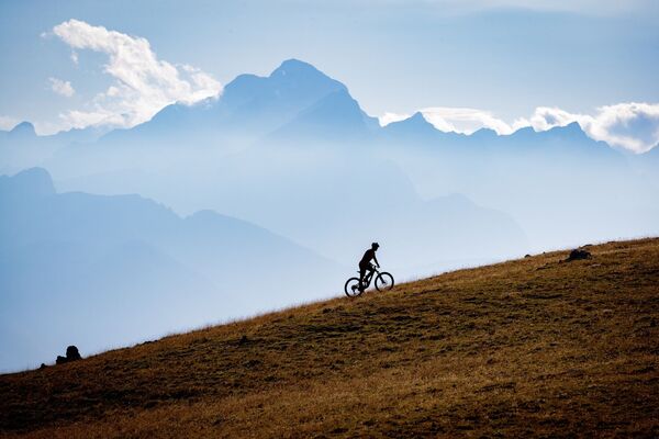
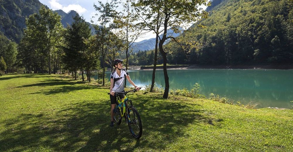
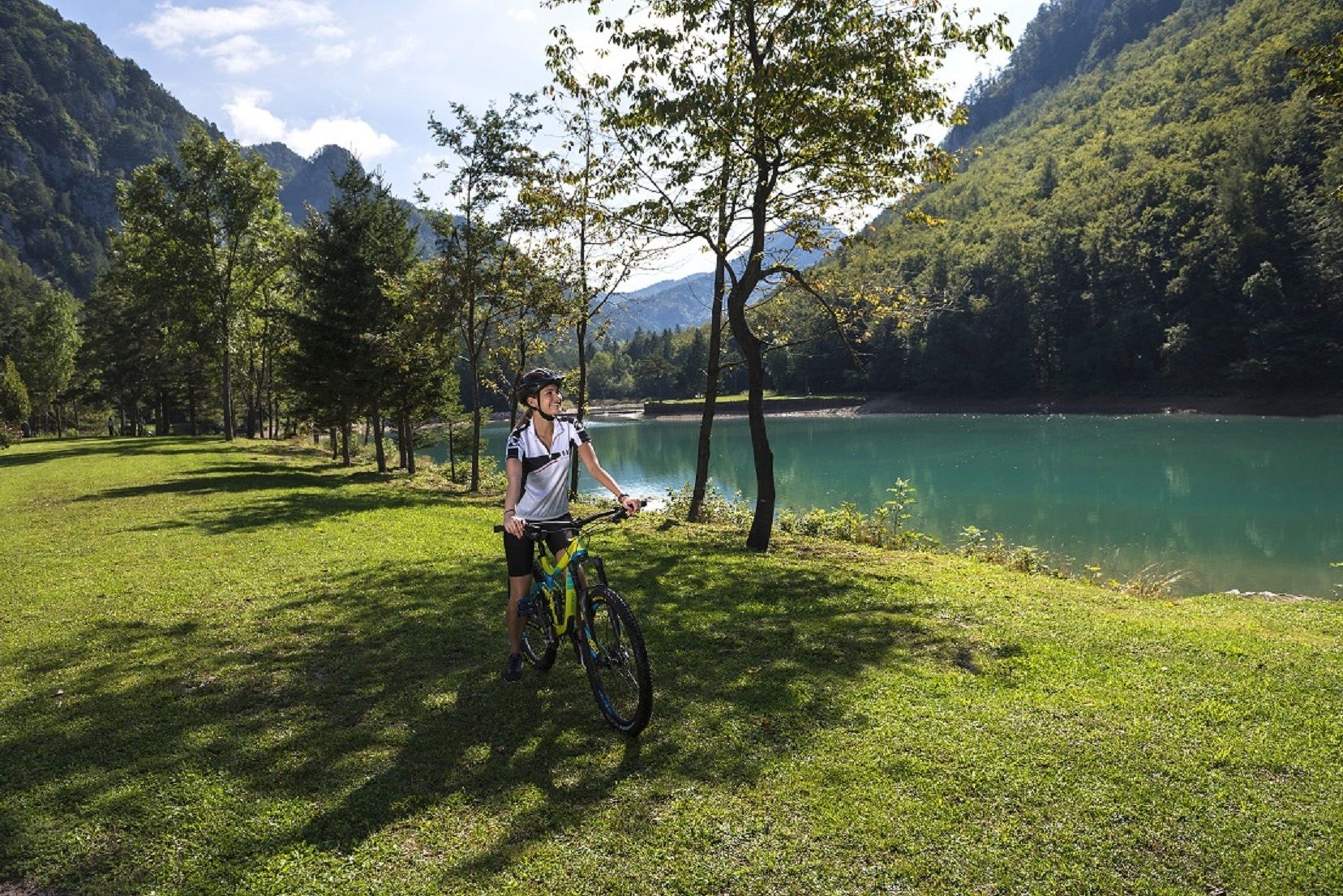
A cycling tour that will take you under the highest peak of the Karavanke mountain range. The tour is suitable for cyclists who want to admire the picturesque landscape during cycling and are not afraid of longer ascents.
- Sværhedsgrad
-
medium
- Evaluering
-
- Rute
-
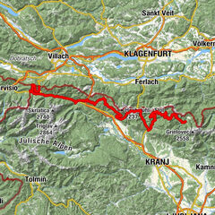
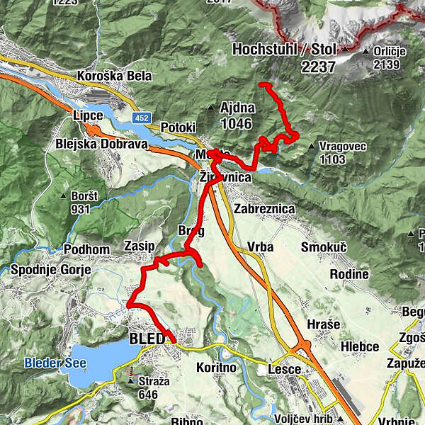
Bled0,4 kmZasip2,6 kmBreg (536 m)5,8 kmScheraunitz (558 m)7,3 kmMoste8,3 kmSlap Hudič babo pere11,7 kmValvasorjev dom pod Stolom14,9 km
- Bedste sæson
-
janfebmaraprmajjunjulaugsepoktnovdec
- Højeste punkt
- 1.176 m
- Destination
-
Infocenter Triglavska roža Bled.
- Højdeprofil
-
 © outdooractive.com
- Forfatter
-
Rundvisningen The Challenge of Karavanke bruges af outdooractive.com forudsat.
GPS Downloads


Generel information
Forfriskningsstop
Kulturel/Historisk
Insider-tip
Fauna
Lovende
Flere ture i regionerne
-
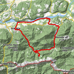
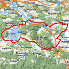
Wörthersee - Rosental
219
-
Gorenjska
32
-
Bled
32