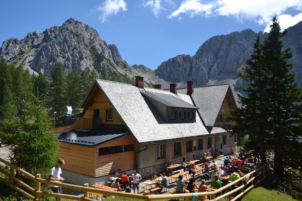
© Turizem Bled - Atila Armentano
© Turizem Bled - Atila Armentano
© Turizem Bled - Atila Armentano
© Turizem Bled - Atila Armentano
© Turizem Bled - Mojca Odar


- Kort beskrivelse
-
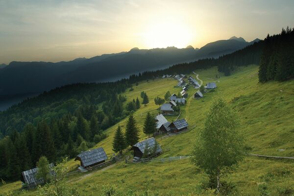
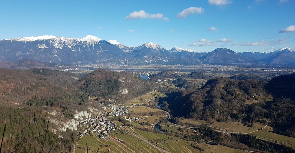
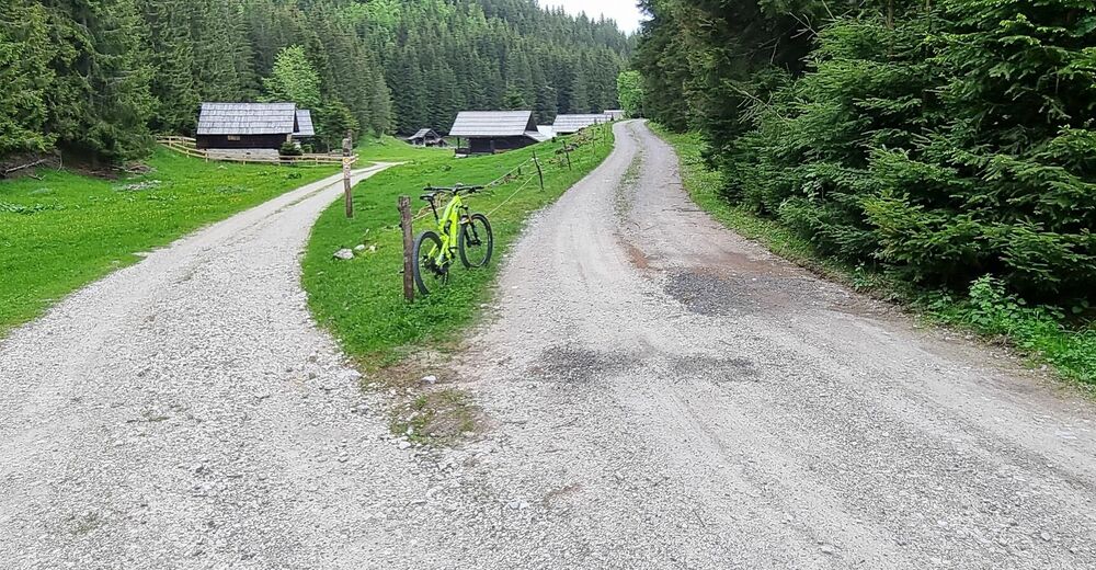
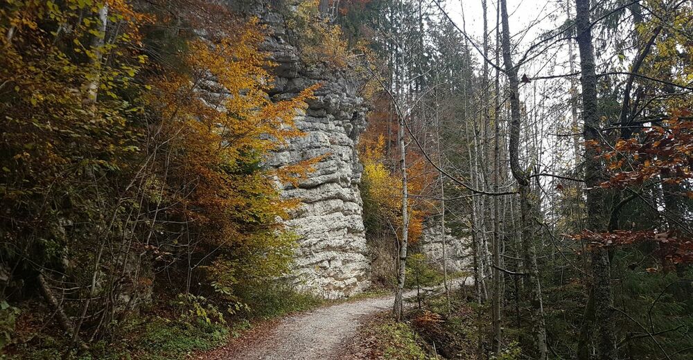
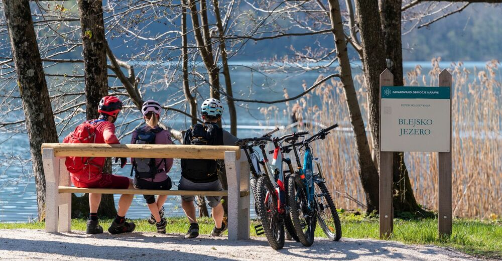
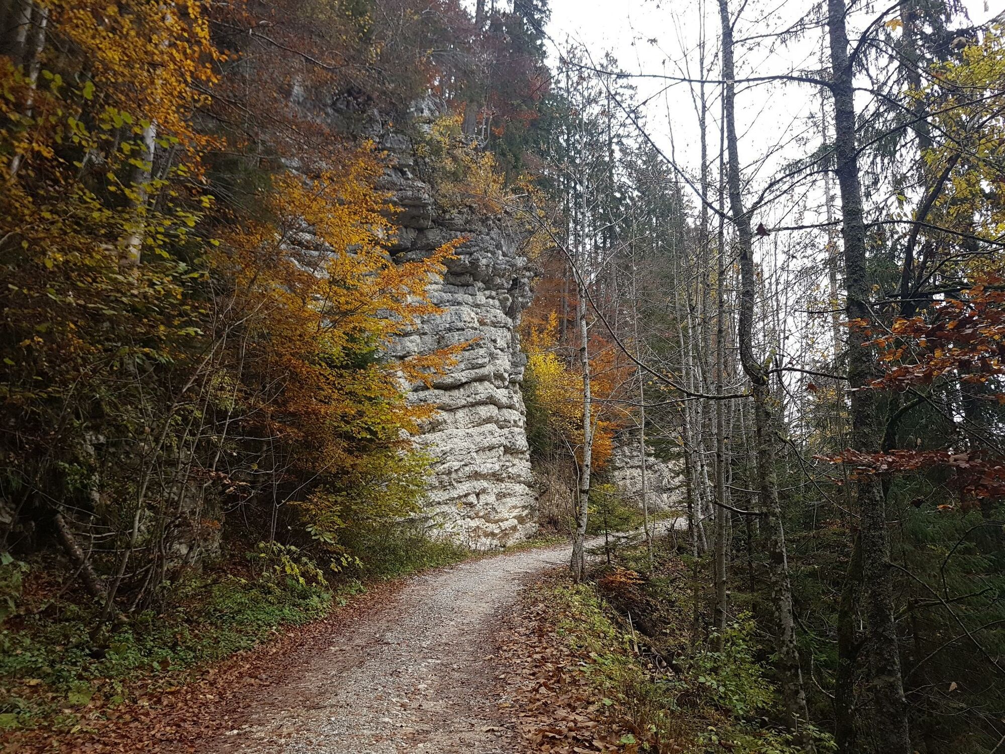
The path offers everything that trail cyclists wish for: an ascent exceeding your comfort zone, travelling through untouched forests, access to magnificent views and a descent requiring your full attention.
- Sværhedsgrad
-
tung
- Evaluering
-
- Rute
-
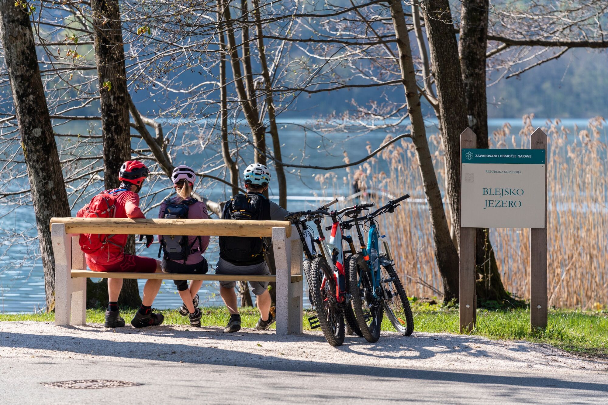
Bled0,5 kmSelo pri Bledu2,0 kmLog2,7 kmBohinjska Bela7,0 kmGostilna Batišt7,8 kmKrnica30,5 kmPostojna31,0 kmZaboršt31,4 kmZgornje Gorje32,3 kmPoljšica pri Gorjah32,3 kmRečica33,7 kmBled36,0 km
- Bedste sæson
-
janfebmaraprmajjunjulaugsepoktnovdec
- Højeste punkt
- 1.264 m
- Destination
-
Infocenter Triglavska roža Bled.
- Højdeprofil
-
 © outdooractive.com

- Forfatter
-
Rundvisningen Taste Pokljuka bruges af outdooractive.com forudsat.
GPS Downloads


Generel information
Kulturel/Historisk
Insider-tip
Flora
Fauna
Lovende
Flere ture i regionerne
-
Wörthersee - Rosental
216
-
Bled
32