- Kort beskrivelse
-
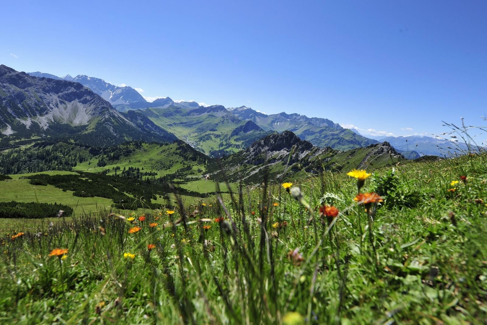
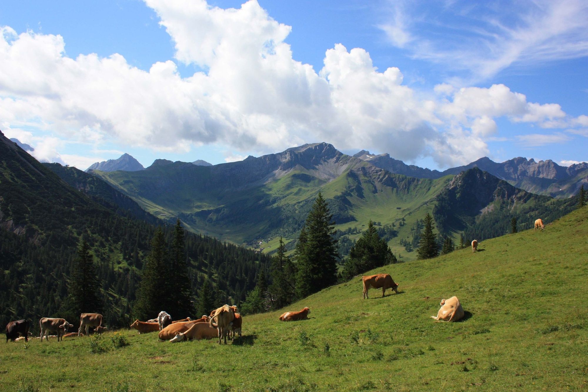
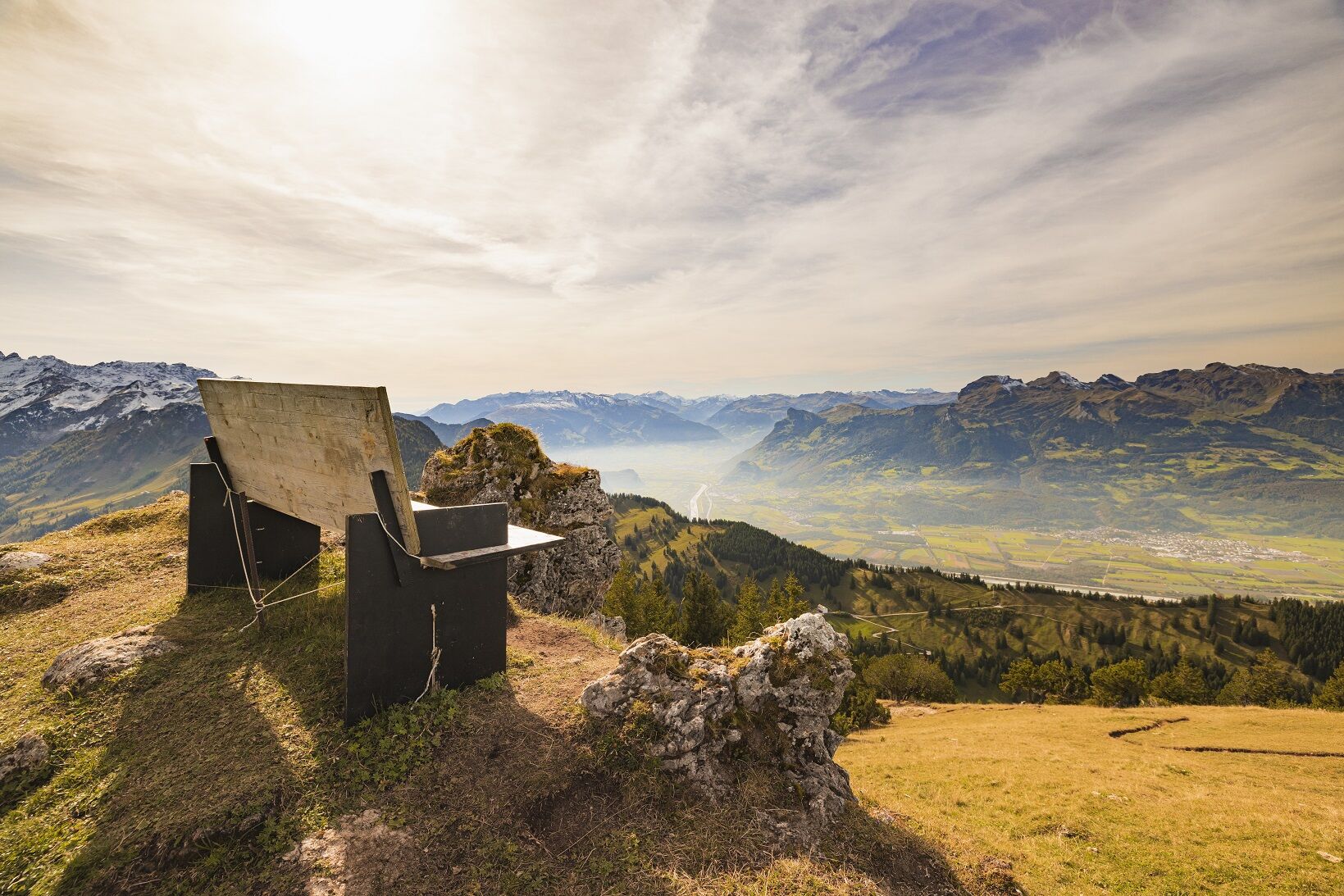
«One of the most beautiful, easiest high altitude hikes of the Rätikon, specially recommended in June and the beginning of July (flowering season)» (W. Flaig). The superb location amidst the Liechtenstein Alps, the breathtaking views of the surrounding mountains and the easy ascent turn the Schönberg mountain into a popular hiking destination.
- Sværhedsgrad
-
medium
- Evaluering
-
- Rute
-
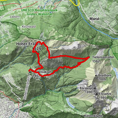
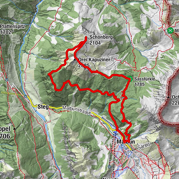
Malbun0,1 kmSassfürkle (1.785 m)2,8 kmDrei Kapuziner (2.085 m)4,9 kmSchönberg (2.104 m)5,7 kmMalbun12,4 km
- Bedste sæson
-
janfebmaraprmajjunjulaugsepoktnovdec
- Højeste punkt
- 2.091 m
- Destination
-
Malbun
- Højdeprofil
-
 © outdooractive.com

-

-
ForfatterRundvisningen From Malbun to Schönberg mountain bruges af outdooractive.com forudsat.
GPS Downloads


Generel information
Flora
Lovende
Flere ture i regionerne
-
Heidiland
2208
-
Liechtenstein
1291
-
Malbun
308