© Friuli Venezia Giulia - © Piller Hoffer Manuel

© Friuli Venezia Giulia - © Piller Hoffer Manuel

© Friuli Venezia Giulia - © Piller Hoffer Manuel

© Friuli Venezia Giulia - © Piller Hoffer Manuel

© Friuli Venezia Giulia - © Piller Hoffer Manuel

© Friuli Venezia Giulia - © Piller Hoffer Manuel

© Friuli Venezia Giulia - Giovanni Borella

- Kort beskrivelse
-
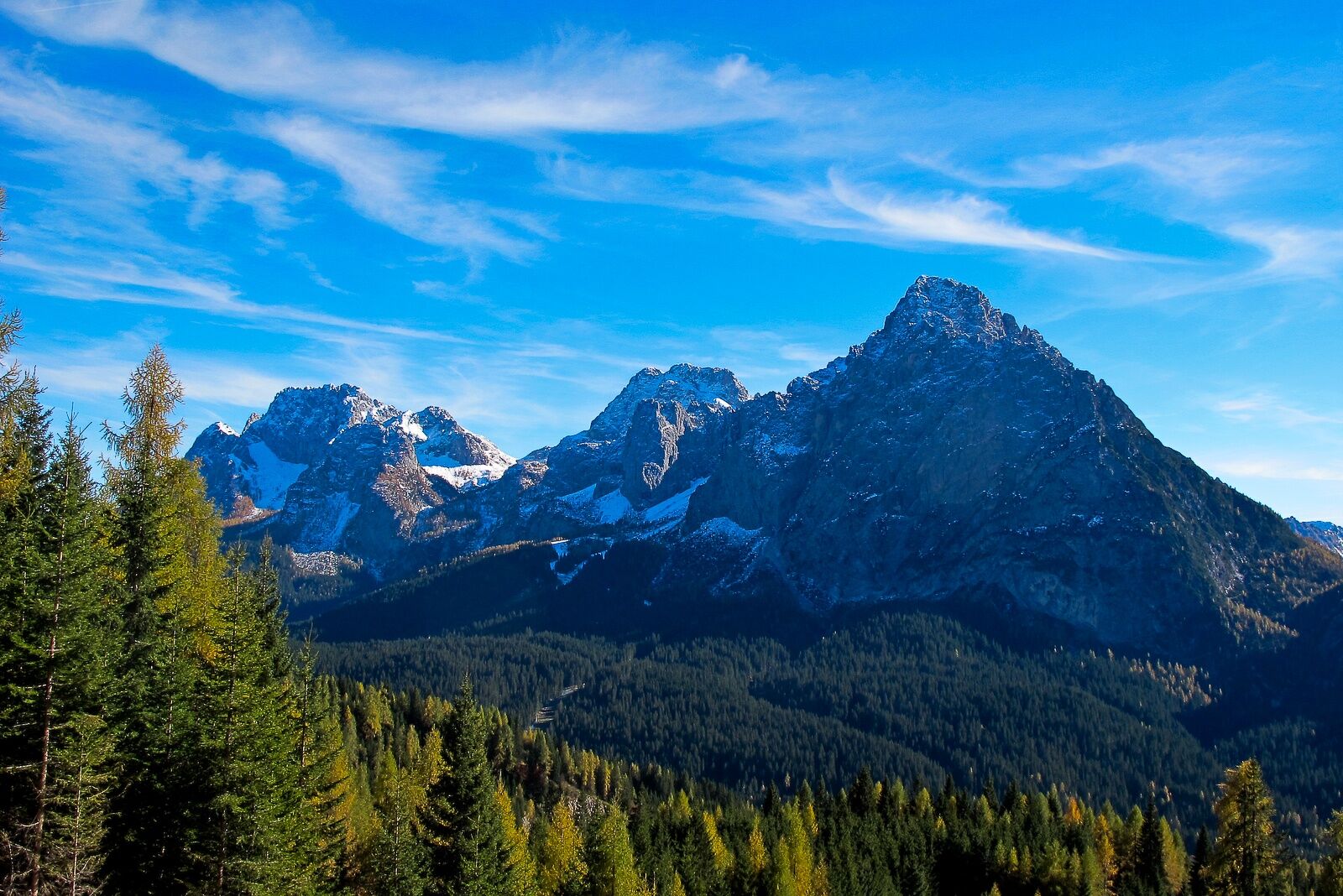
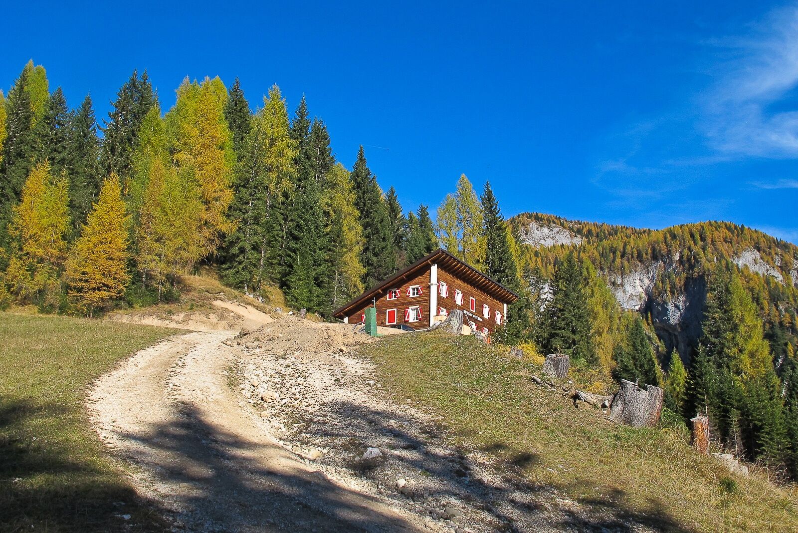
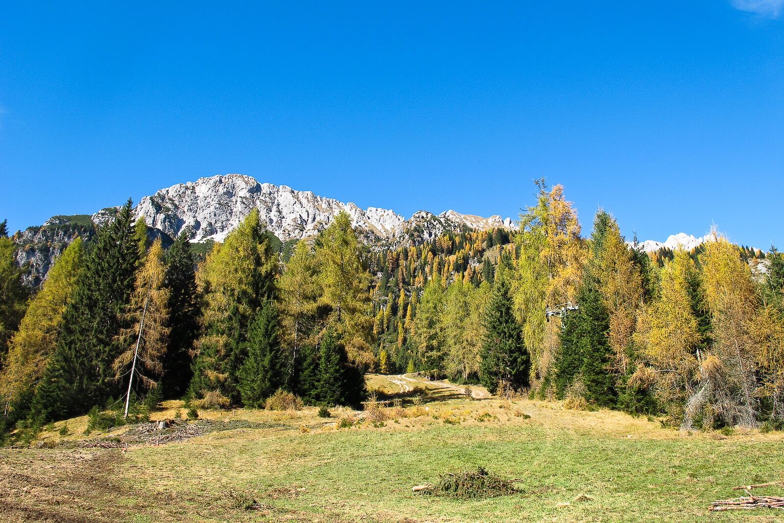
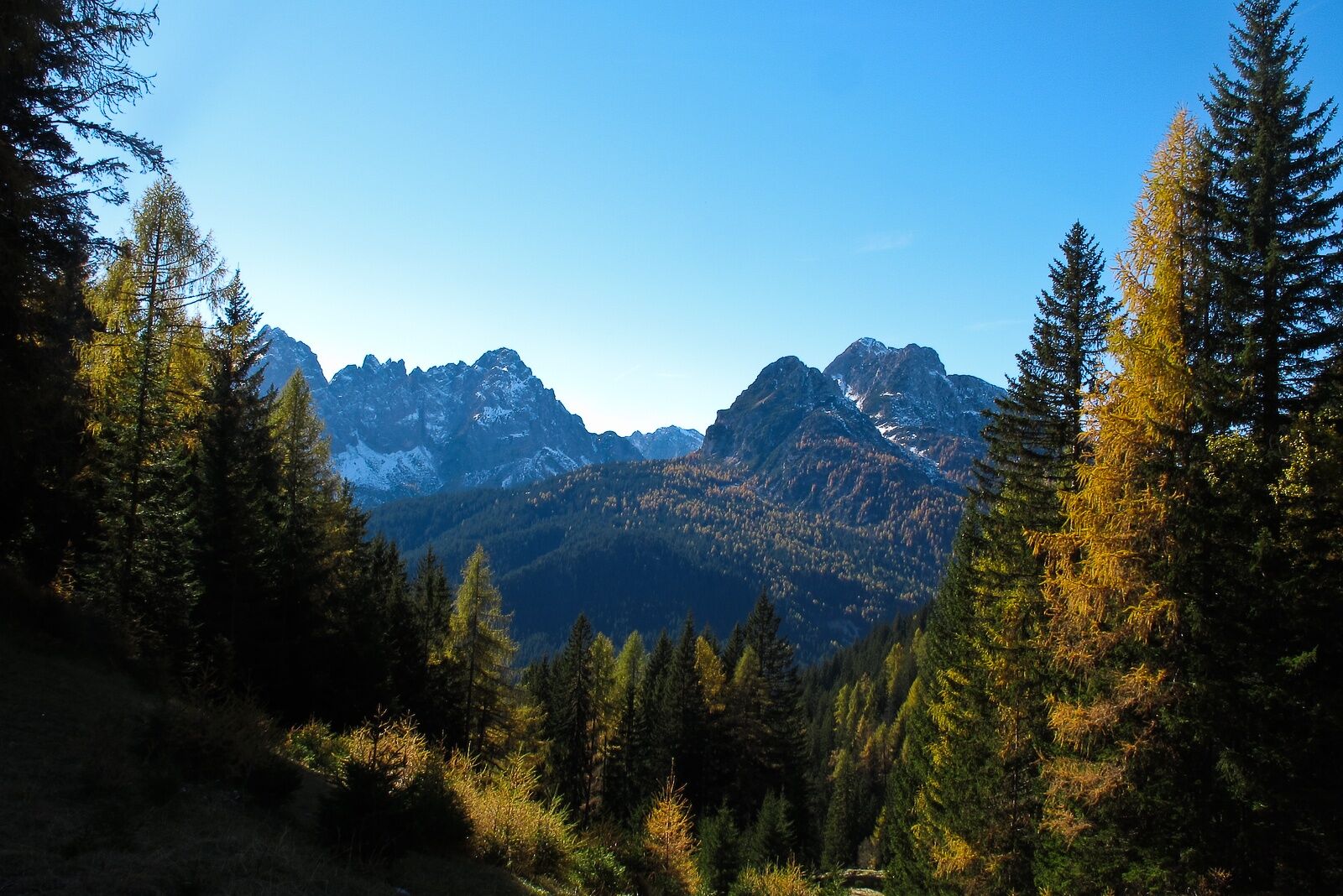
The shelter, stands in a lovely spot on a pleasant, sunny grassy slope a little above the arrival station of the decommissioned chairlift, overlooked by the ridges and rocky walls of the mountain of the same name and right in front of the entire beautiful series of peaks of the Terza Piccola, Cimon, Clap, Siera and Creta Forata.
- Sværhedsgrad
-
let
- Evaluering
-
- Rute
-
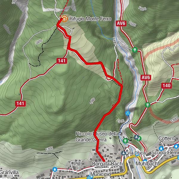
Sant'AntonioBorgata BachPill0,1 kmSappada - Plodn (1.217 m)0,1 kmCascatelle0,5 kmRifugio Monte Ferro1,4 km
- Bedste sæson
-
janfebmaraprmajjunjulaugsepoktnovdec
- Højeste punkt
- 1.553 m
- Destination
-
Rifugio Monte Ferro
- Højdeprofil
-
 © outdooractive.com

-

-
ForfatterRundvisningen 16 MONTE FERRO SHELTER from Bach village bruges af outdooractive.com forudsat.
GPS Downloads


Flere ture i regionerne
-
Val Comelico - Sappada
465
-
Forni Avoltri
113