© © Davide Borella

© © Davide Borella

© © Davide Borella

© © Davide Borella

© © Davide Borella

© © Davide Borella

© © Davide Borella

© © Davide Borella

© © Giovanni Borella

© © Giovanni Borella

- Kort beskrivelse
-
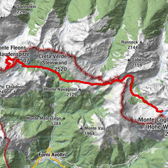
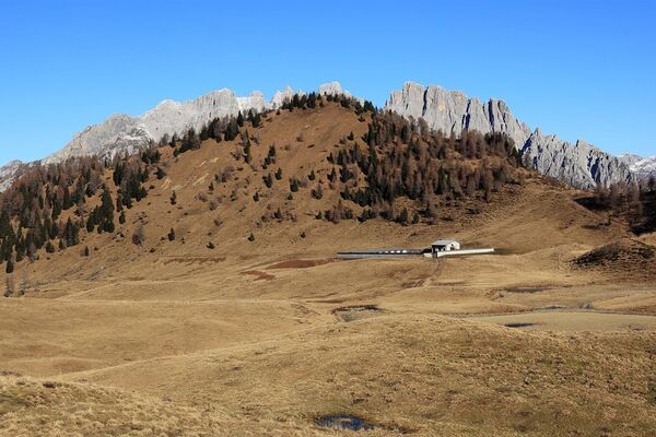
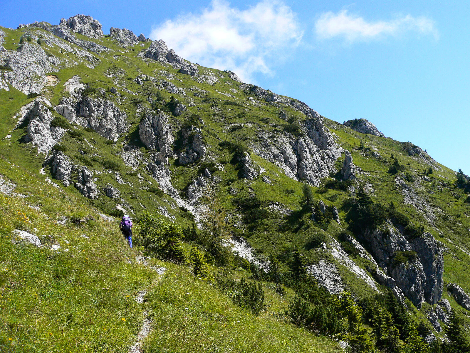
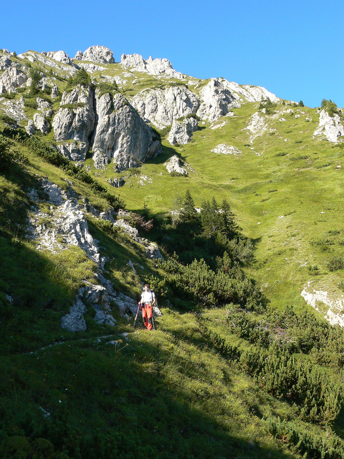
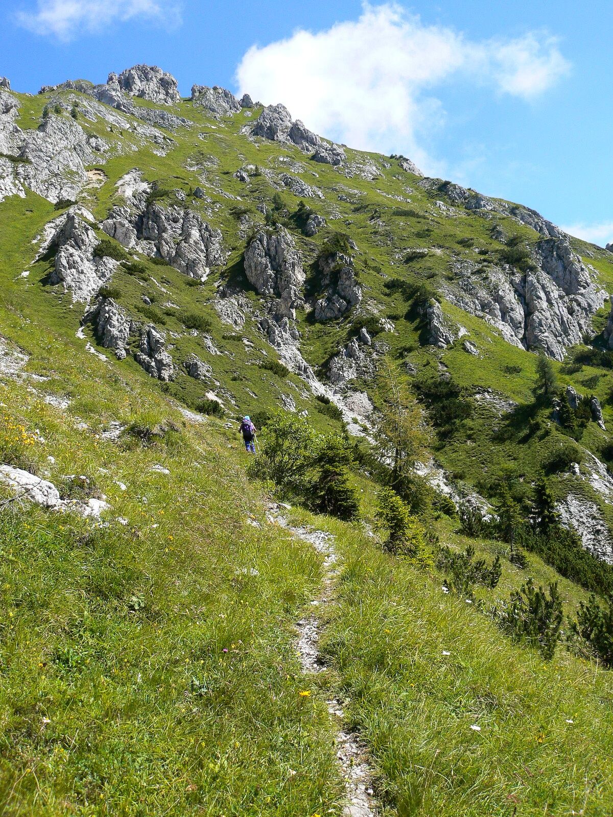
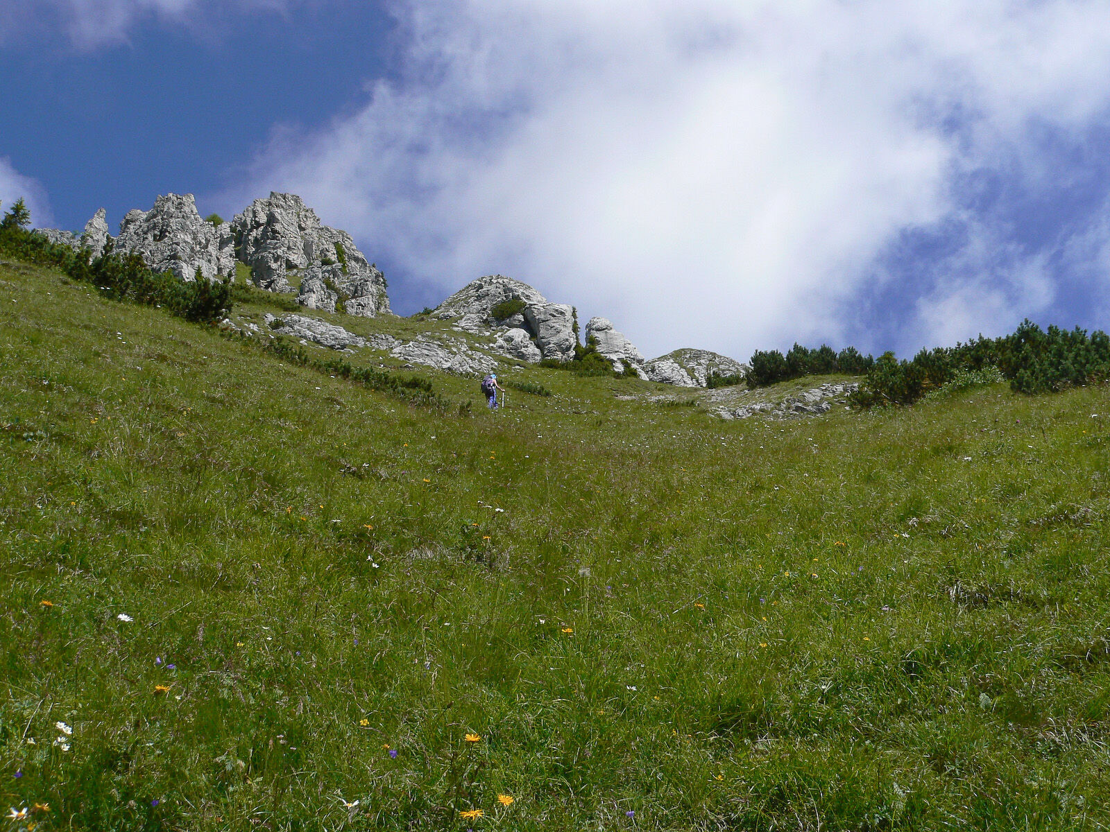
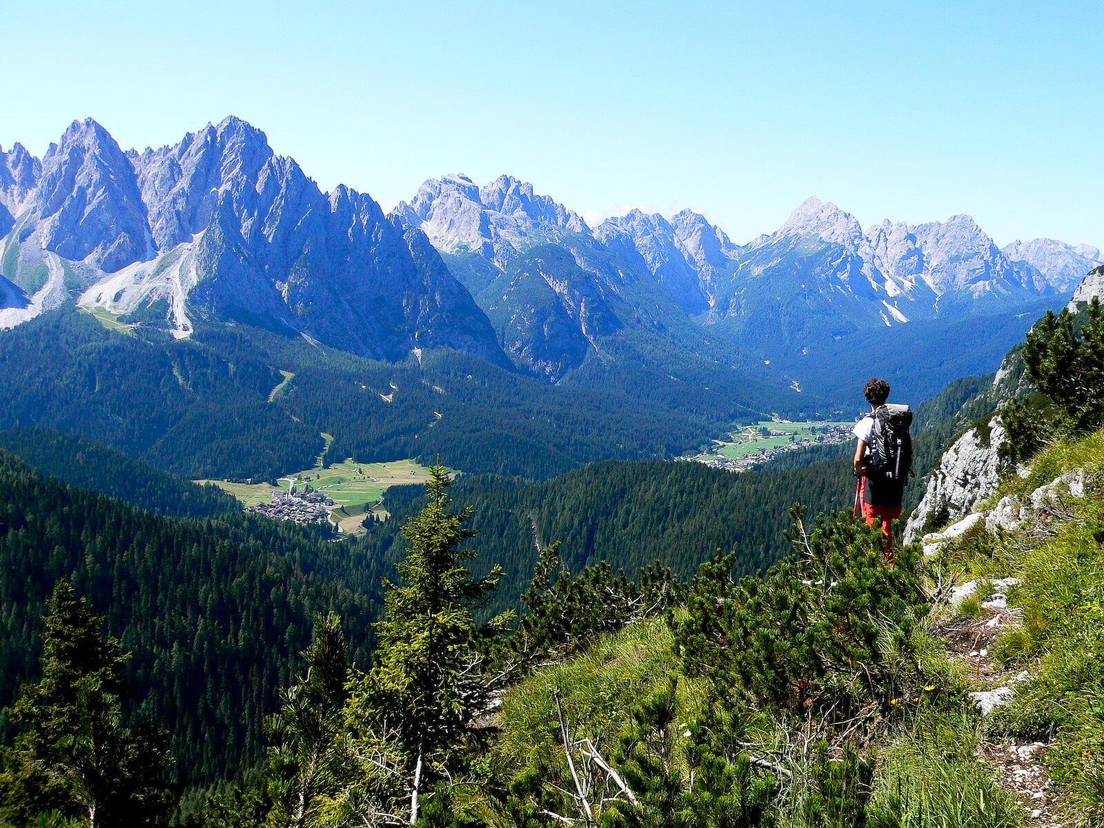
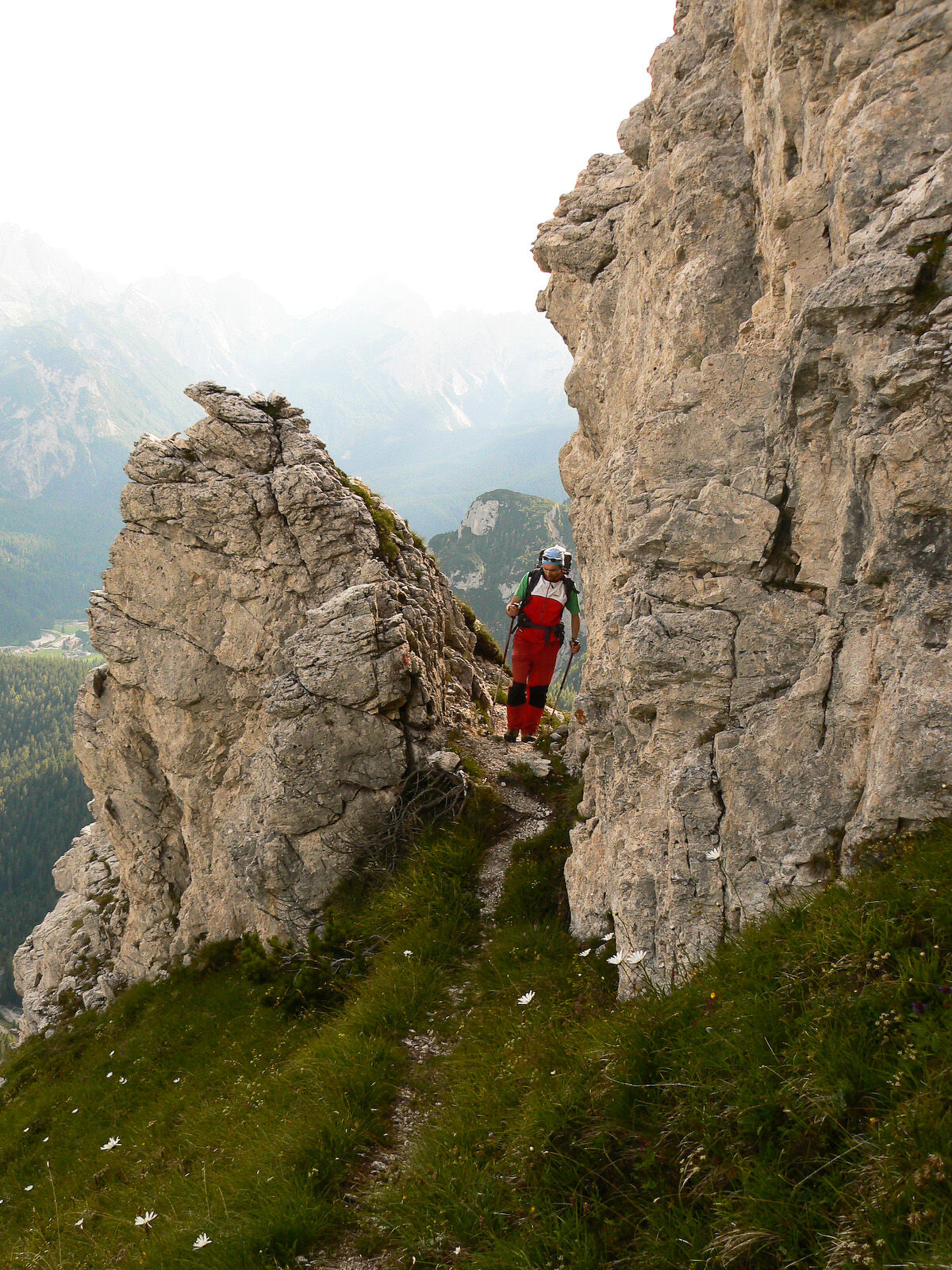
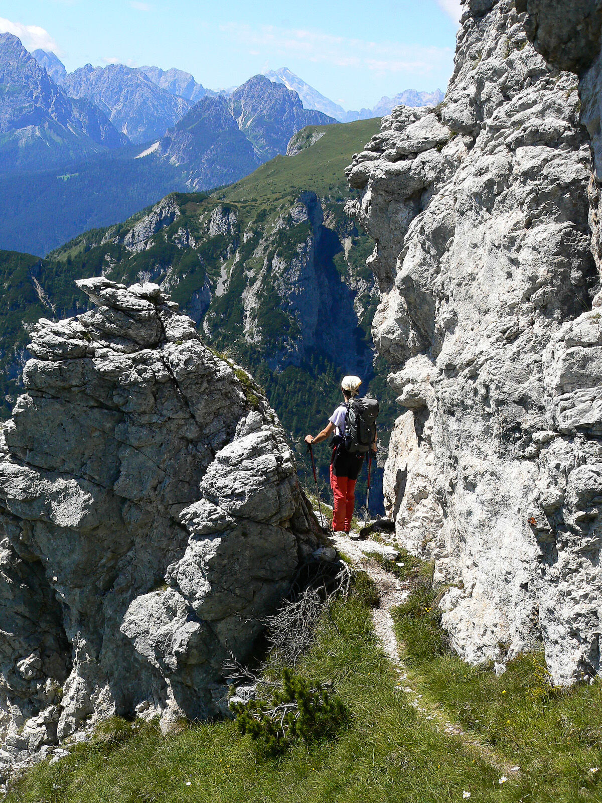
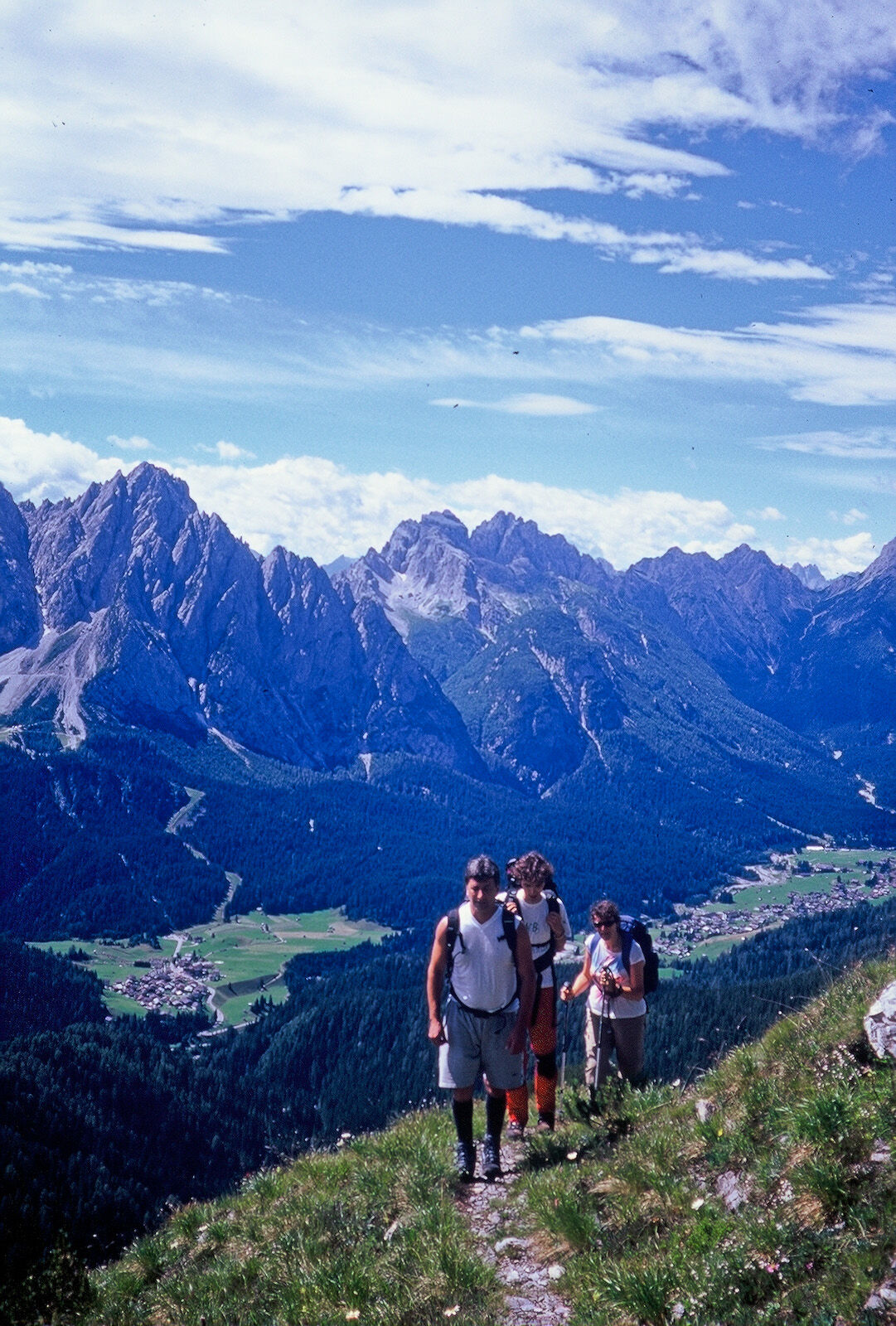
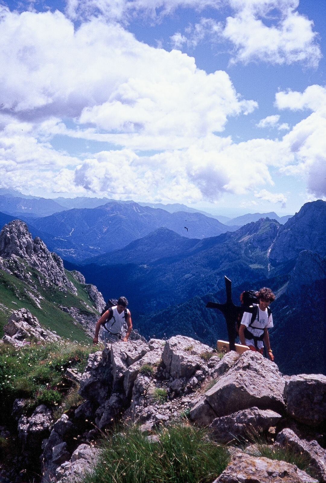
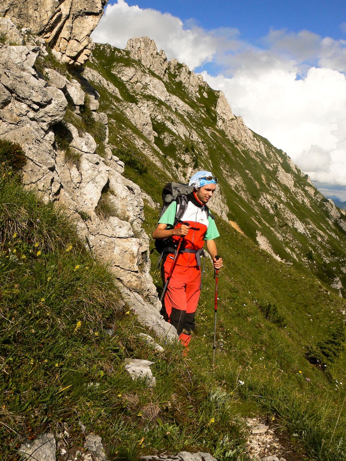
A massive complex that rises isolated and closed off to the north by the grassy ridge of the Pale di Linc towards which juts a large rocky mountainside to the south from the Pescol pass and Mount Chiaine, intersected by debris canals. Westwards it dominates the central sector of the val Sesis with its polished and vertical outliers.
- Sværhedsgrad
-
medium
- Evaluering
-
- Rute
-
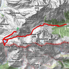
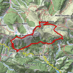
Rifugio Piani del Cristo0,0 kmKadin Kofel (2.287 m)4,2 km
- Bedste sæson
-
janfebmaraprmajjunjulaugsepoktnovdec
- Højeste punkt
- 2.244 m
- Destination
-
Monte Chiadin
- Højdeprofil
-
 © outdooractive.com

-

-
ForfatterRundvisningen 30 MONTE CHIADIN - Sappada bruges af outdooractive.com forudsat.
GPS Downloads


Generel information
Forfriskningsstop
Lovende
Flere ture i regionerne