© Friuli Venezia Giulia - Nicola Brollo (Interreg V-A Italia - Austria 2014 -2020 progetto BIKENAT)

© Friuli Venezia Giulia - Ulderica Da Pozzo

© PromoTurismoFVG - Ulderica Da Pozzo

- Kort beskrivelse
-
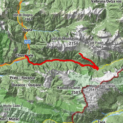
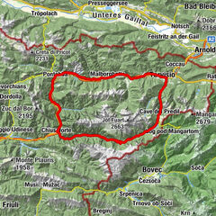
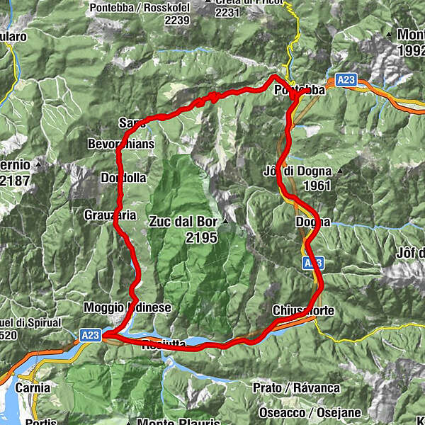
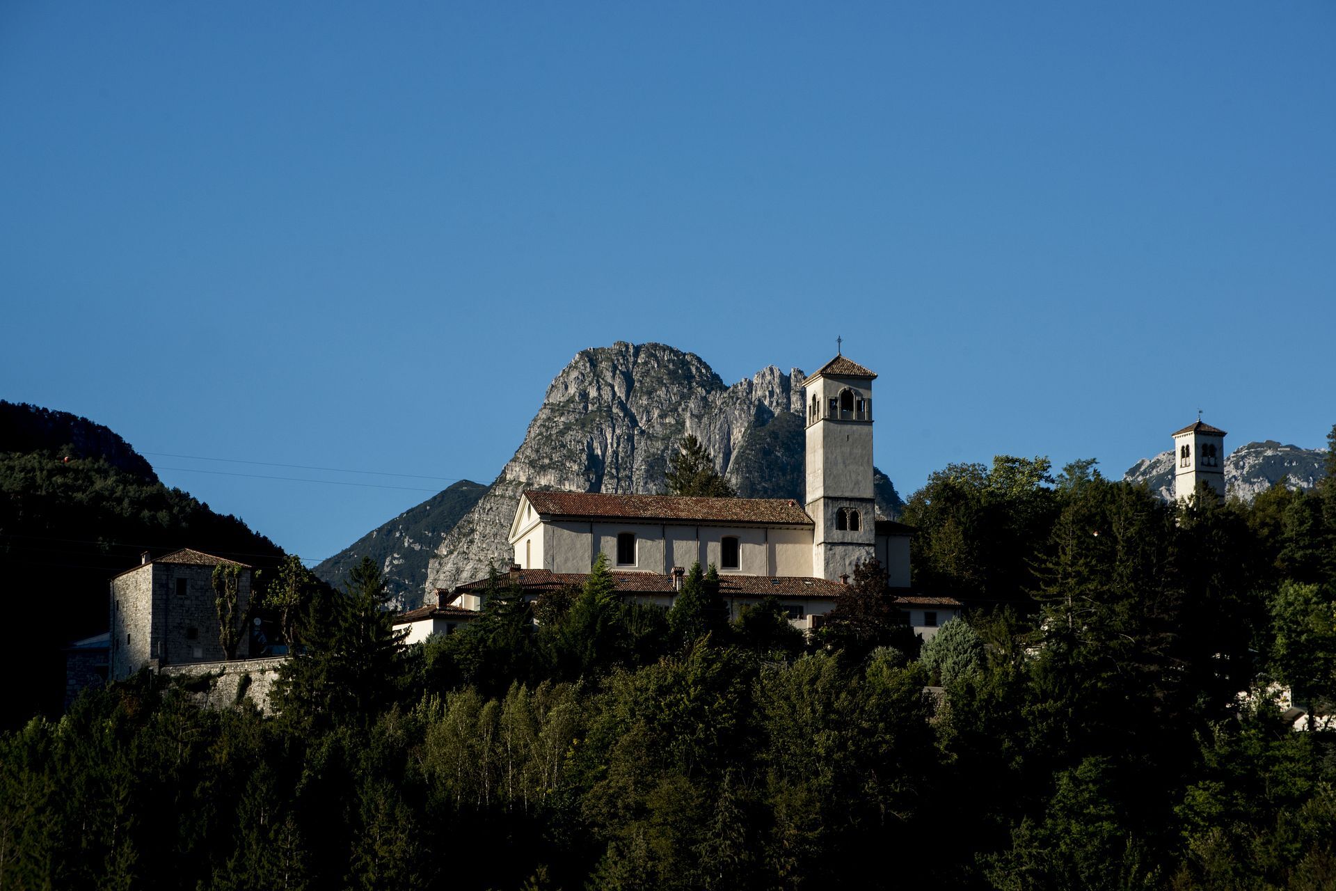
An itinerary where you pedal among the peaks of the Aupa Valley, discovering mountain villages, ancient traditions and authentic flavors.
- Sværhedsgrad
-
tung
- Evaluering
-
- Rute
-
PontafelVillaggio Gastronomico0,3 kmPontafel0,4 kmAlbergo Caffè Vecchio0,5 kmFrazione Studena Alta (806 m)4,5 kmFrattis5,9 kmLocalità Aupa6,5 kmPlan dei Giordanaz13,0 kmSaps14,1 kmBevorchians14,8 kmGialloz15,6 kmCjampiui15,6 kmDordolla17,0 kmCase Zais17,6 kmGrauzaria18,9 kmChiaranda21,4 kmPradis22,1 kmBorgo Aupa23,8 kmMoggio Udinese24,3 kmBorgo Linussio24,5 kmResiutta28,8 kmRoveredo31,6 kmCascata Rio Belepeit35,4 kmVillanova35,4 kmCasasola36,4 kmChiusaforte36,7 kmTrattoria F.lli Martina36,8 kmStazione di Chiusaforte37,1 kmRaccolana37,1 kmPorto41,3 kmDogna41,8 kmBalador41,8 kmChiout Martin42,7 kmVillaggio Krivaja43,1 kmSaletto44,3 kmCasello46,1 kmAlbergo Caffè Vecchio49,7 kmVillaggio Gastronomico49,8 kmPontafel49,9 kmPontafel50,1 km
- Bedste sæson
-
janfebmaraprmajjunjulaugsepoktnovdec
- Højeste punkt
- 1.069 m
- Destination
-
Railway station of Pontebba
- Højdeprofil
-
 © outdooractive.com
-

-
ForfatterRundvisningen Studena and Val Aupa Itinerary (R043) bruges af outdooractive.com forudsat.
GPS Downloads


Generel information
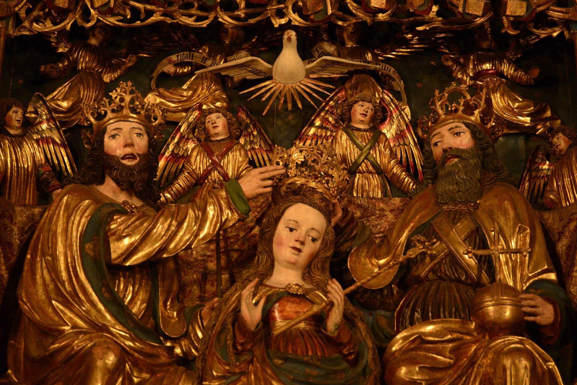
Kulturel/Historisk
Insider-tip
Flora
Fauna
Lovende
Flere ture i regionerne