
© Terra Dinarica - Via Dinarica BiH

© Terra Dinarica - Elma Okić

© Terra Dinarica - Elma Okić

© Terra Dinarica - Elma Okić

© Terra Dinarica - Via Dinarica BiH

© Terra Dinarica - Via Dinarica BiH
© Terra Dinarica - Olja Latinovic

© Terra Dinarica - Olja Latinovic

© Terra Dinarica - Olja Latinovic

© Terra Dinarica - Olja Latinovic

- Kort beskrivelse
-
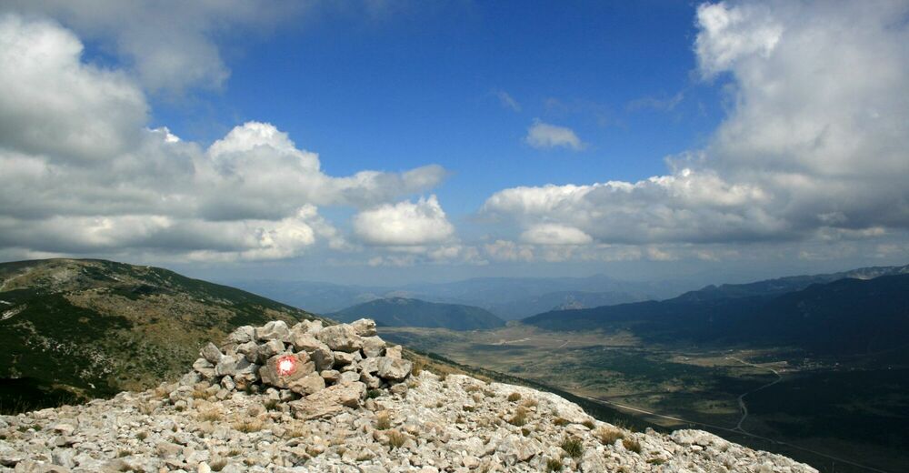
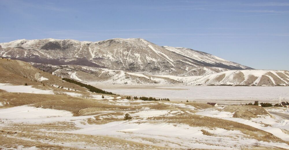
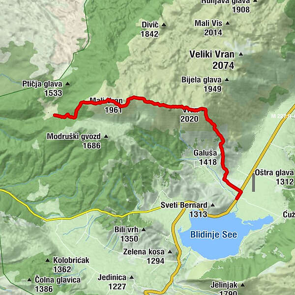
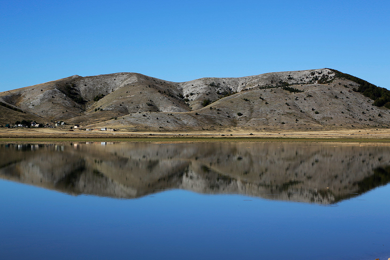
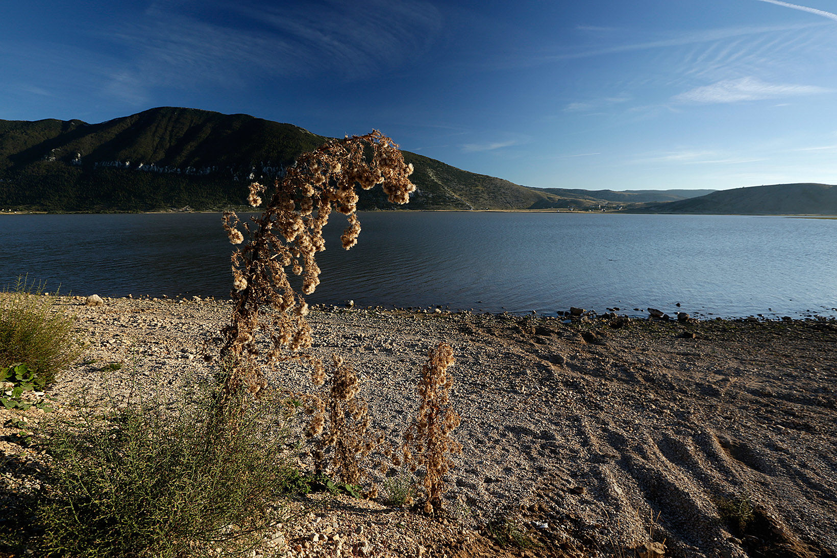
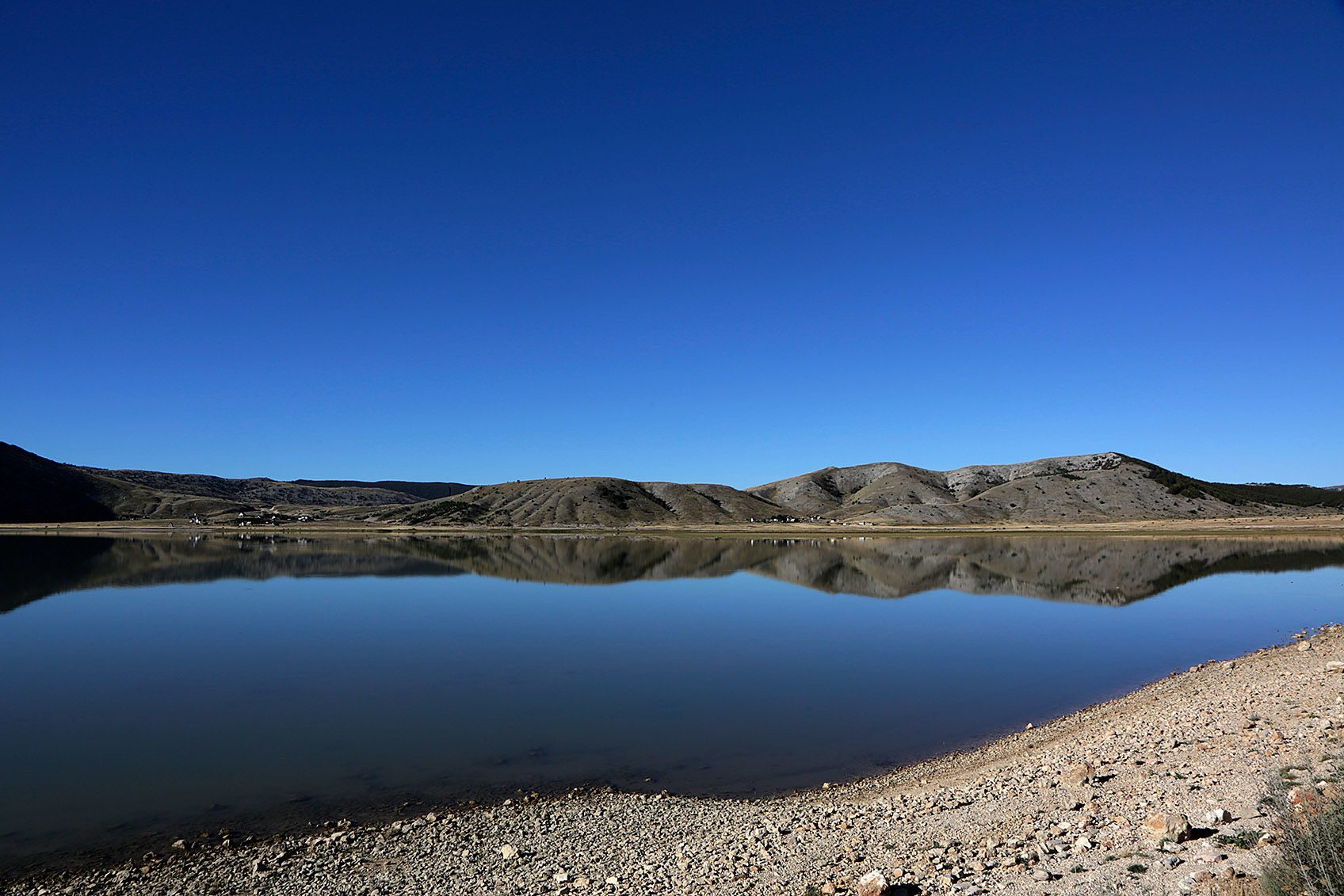
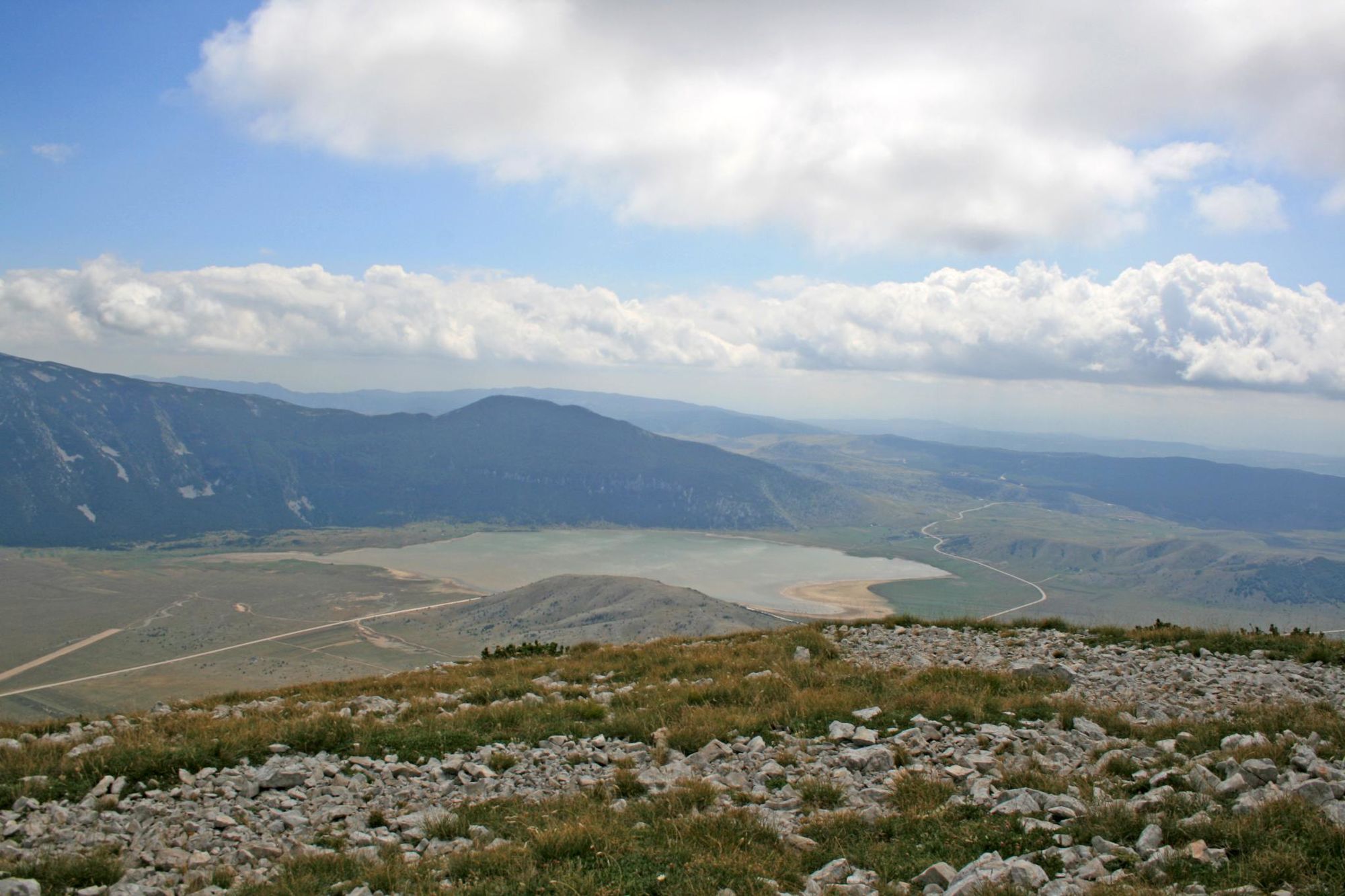
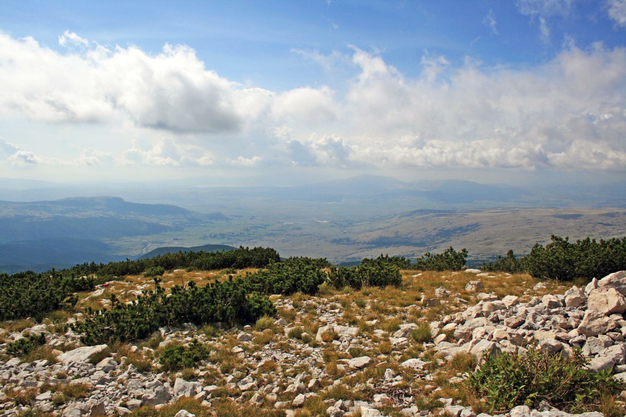
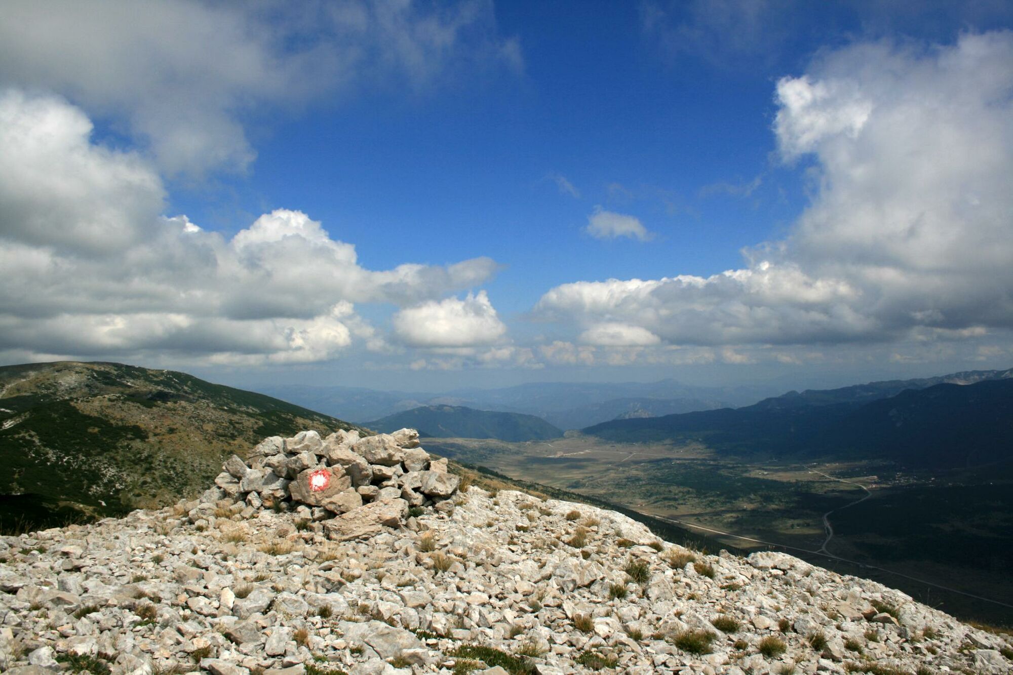
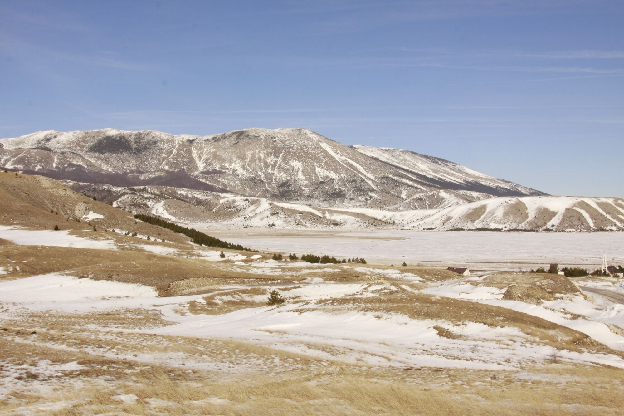
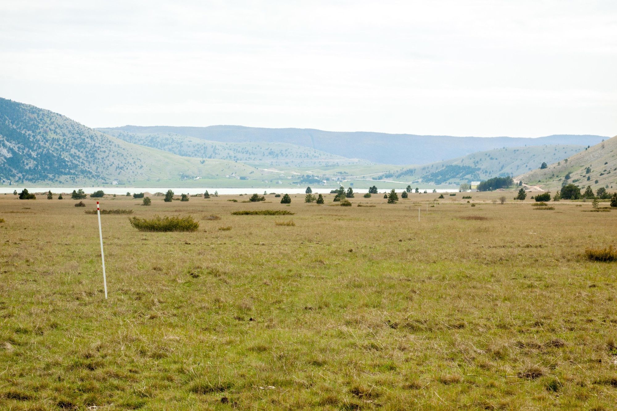
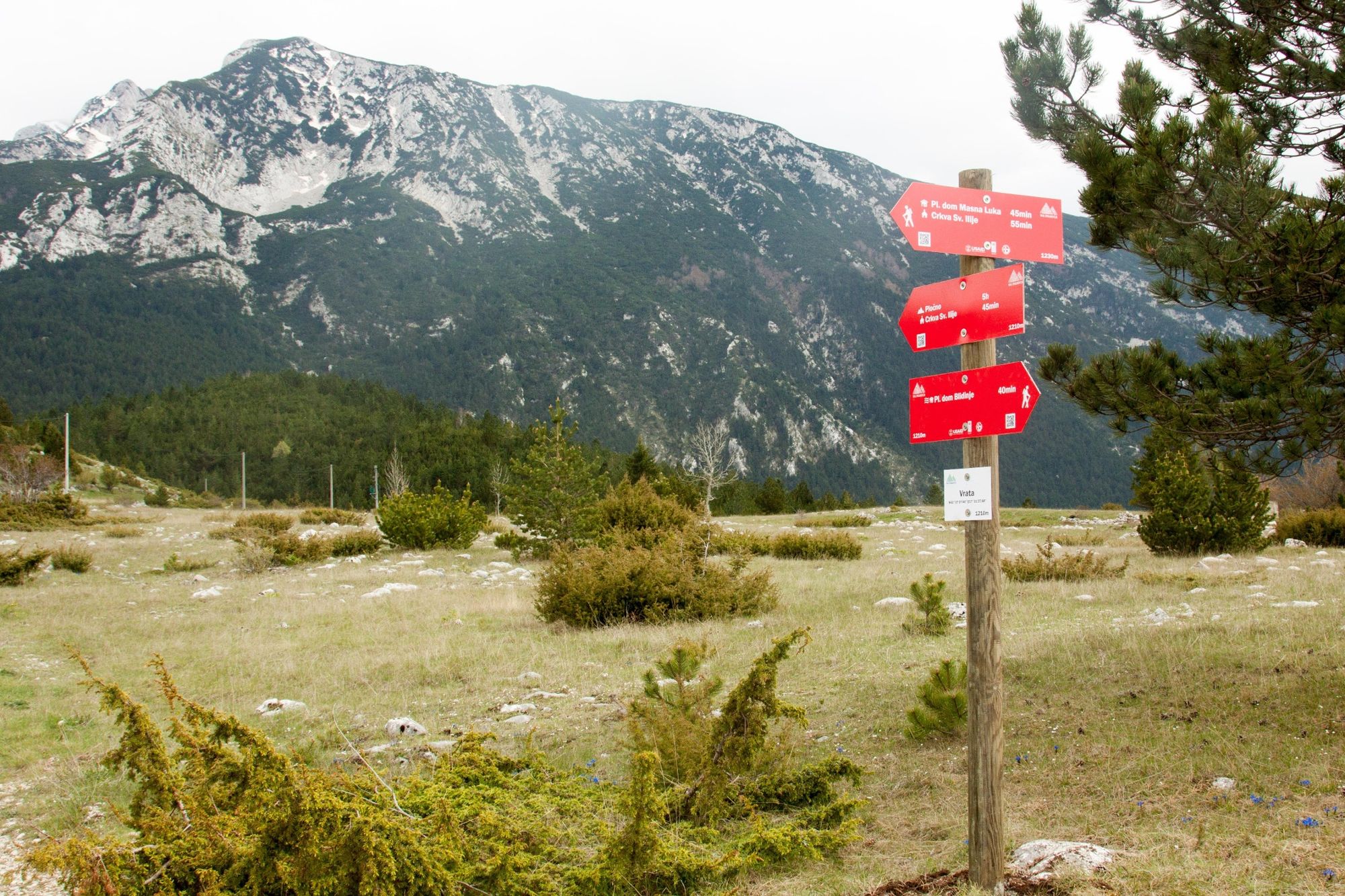
Good hiking with great views on Cvrsnica Mountain and Blidinje lake to the east, Ljubusa and Duvanjsko field to the west, and Radusa in the northwest. The trail crosses the mountain ridge from Mali (Little) Vran to Vran and descends to Blidinje lake where a mountain hut is located, then continues towards monastery Masna Luka. There is also an alternative via Great Vran summit.
- Sværhedsgrad
-
medium
- Evaluering
-
- Rute
-
Mali Vran (1.961 m)3,7 kmVran (2.020 m)6,9 kmGaluša (1.418 m)9,0 km
- Bedste sæson
-
janfebmaraprmajjunjulaugsepoktnovdec
- Højeste punkt
- 2.005 m
- Destination
-
Blidinje
- Højdeprofil
-
 © outdooractive.com

-

-
ForfatterRundvisningen Via Dinarica BH-W-04 Vran Mountain and Blidinje Lake bruges af outdooractive.com forudsat.
GPS Downloads


Generel information
Flora
Lovende
Flere ture i regionerne
-
Herzegowina
51