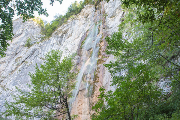
© Terra Dinarica - planinarenje .ba

© Terra Dinarica - planinarenje .ba

© Terra Dinarica - planinarenje .ba

© Terra Dinarica - planinarenje .ba

© Terra Dinarica - planinarenje .ba

- Kort beskrivelse
-
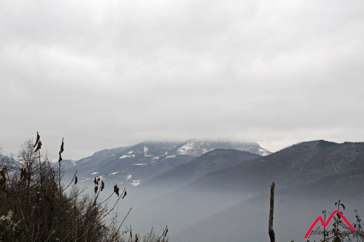
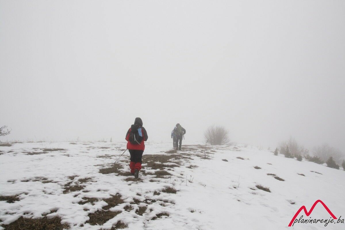
The walk is easy, technically undemanding, and it can be characterised as a mountain walk with only one serious ascent. It is good for short days and bad weather. There is one fountain along the way.
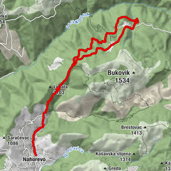
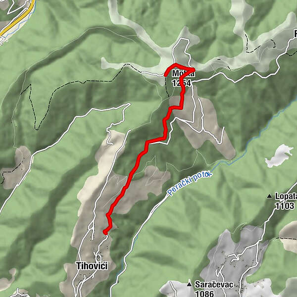
- Rute
-
Motka (1.254 m)4,6 kmPlaninarski dom Motka5,2 km
- Højeste punkt
- 1.233 m
- Destination
-
Motka peak
- Højdeprofil
-
 © outdooractive.com

-

-
ForfatterRundvisningen Tihovići - Motka bruges af outdooractive.com forudsat.
GPS Downloads


Flere ture i regionerne
-
Bosnien
44