Turnédatoer
28,2km
1.007
- 1.520m
1.073hm
1.063hm
08:49h
- Kort beskrivelse
-
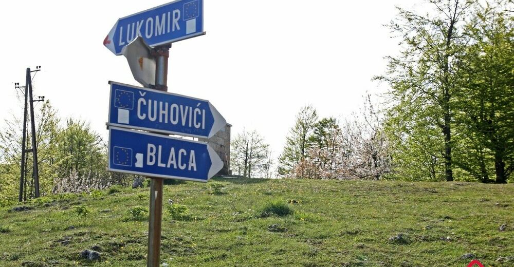
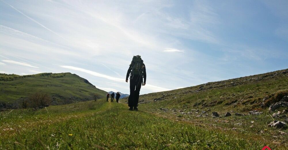
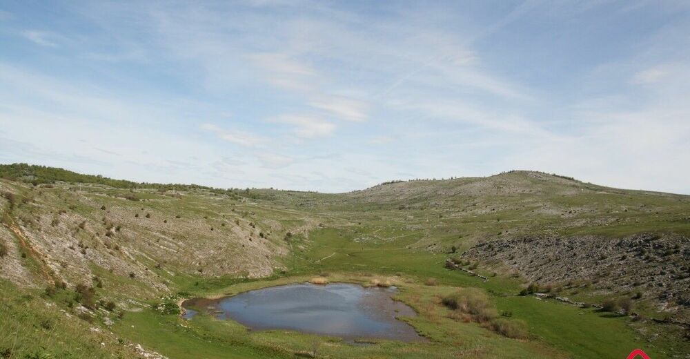
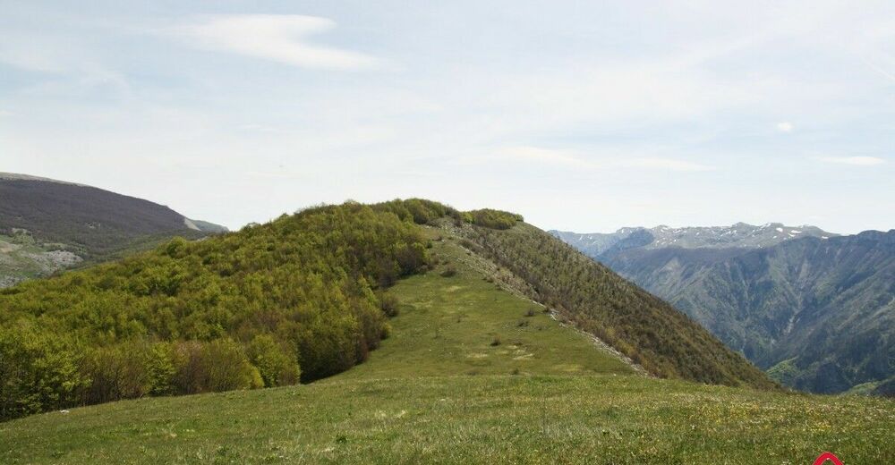
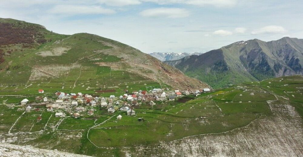
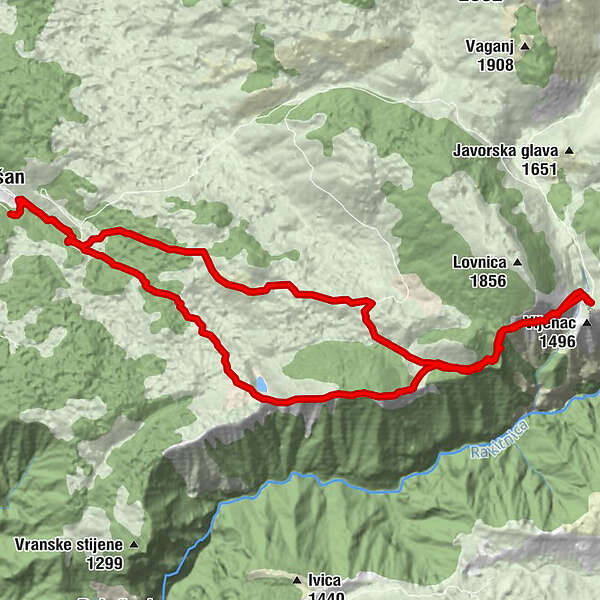
The walk is requires a high level of fitness. You will see lake Blatačko and enjoy a wonderful view of the canyon of the river Rakitnica, and Mt Visočica on the other side of the canyon. The end point is the village of Lukomir.
- Rute
-
Na Krovu Svijeta14,2 km
- Højeste punkt
- 1.520 m
- Destination
-
Lukomir Village
- Højdeprofil
-
© outdooractive.com
-

-
ForfatterRundvisningen Blatačko Lake bruges af outdooractive.com forudsat.

