© Terra Dinarica - Alan Čaplar

© Terra Dinarica - Alan Čaplar
© Terra Dinarica - Alan Čaplar

© Terra Dinarica - Alan Čaplar
© Terra Dinarica - Alan Čaplar
© Terra Dinarica - Darko Kos
© Terra Dinarica - Vladimir Jagušić
© Terra Dinarica - Alan Čaplar
© Terra Dinarica - Alan Čaplar
© Terra Dinarica - Zdenko Kristijan

- Kort beskrivelse
-
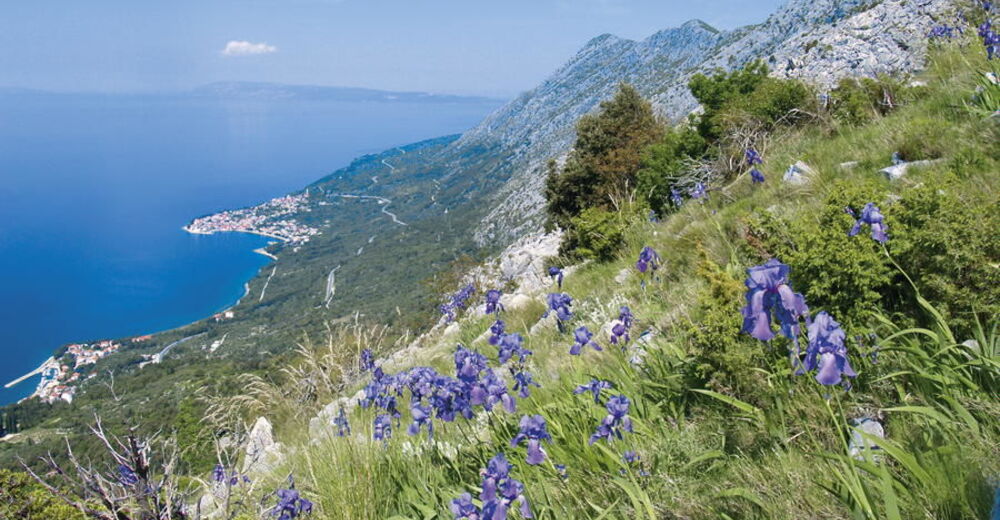
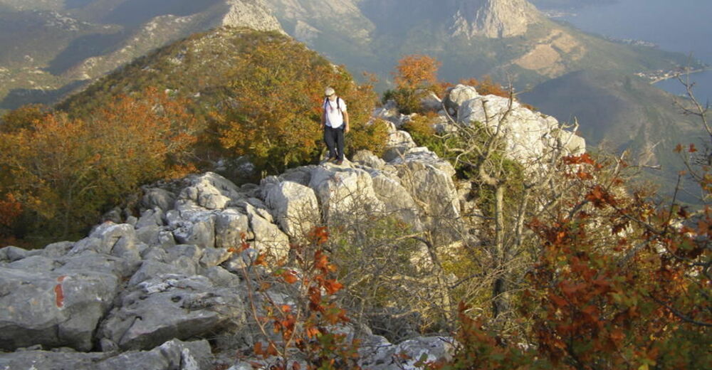
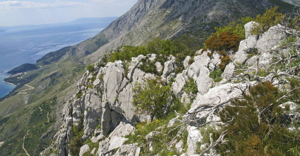
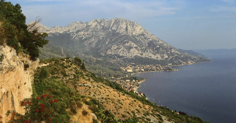
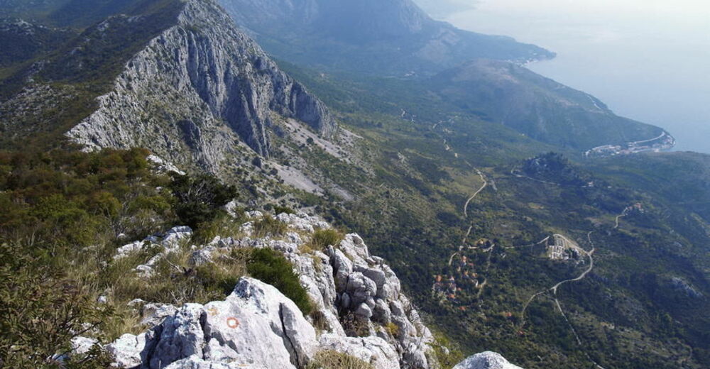
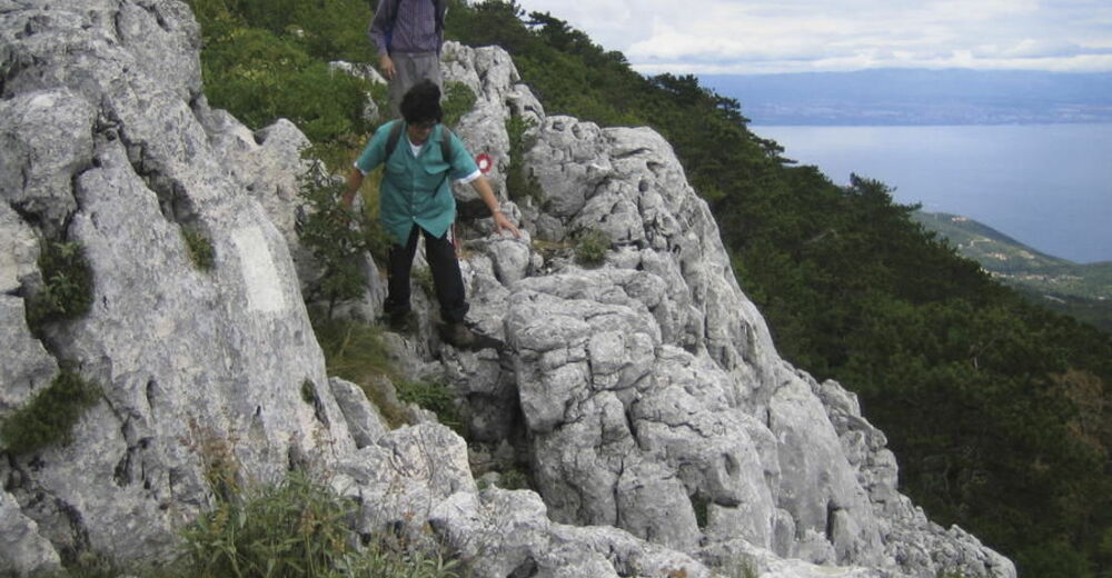
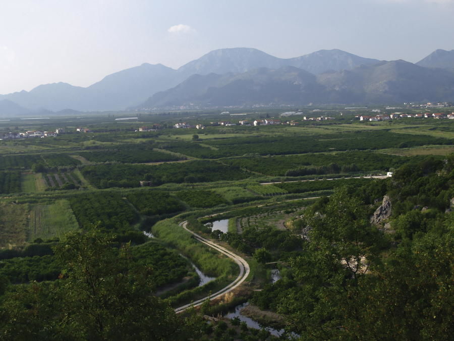
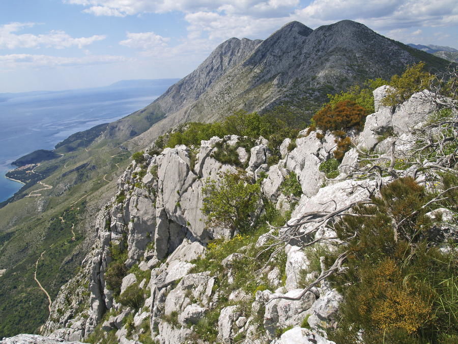
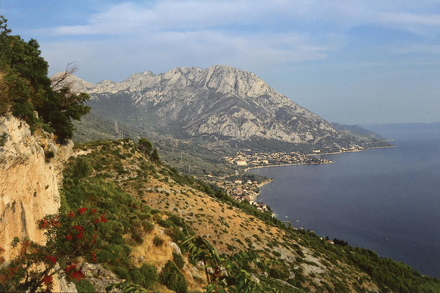
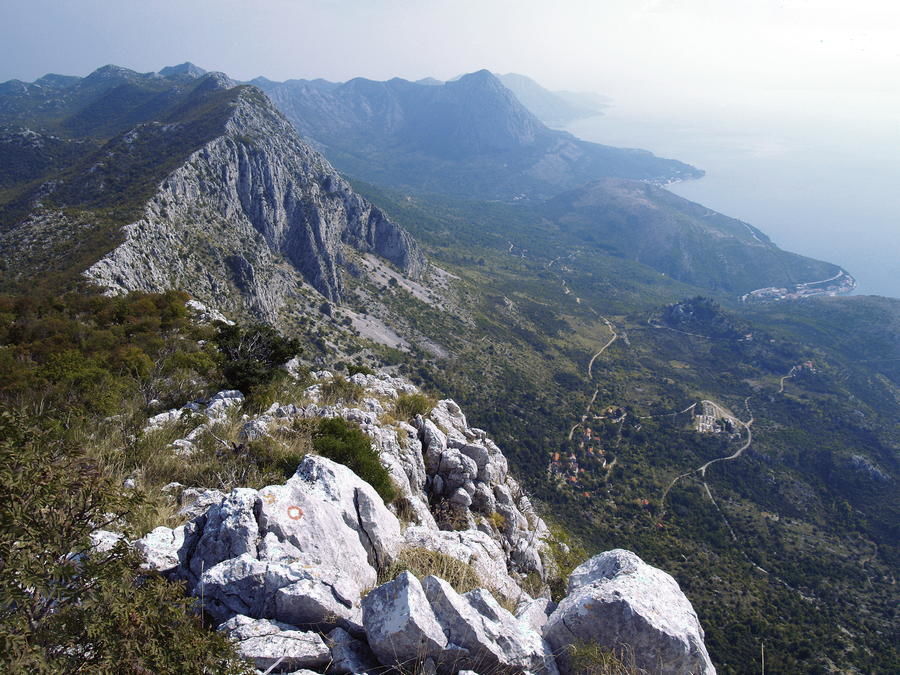
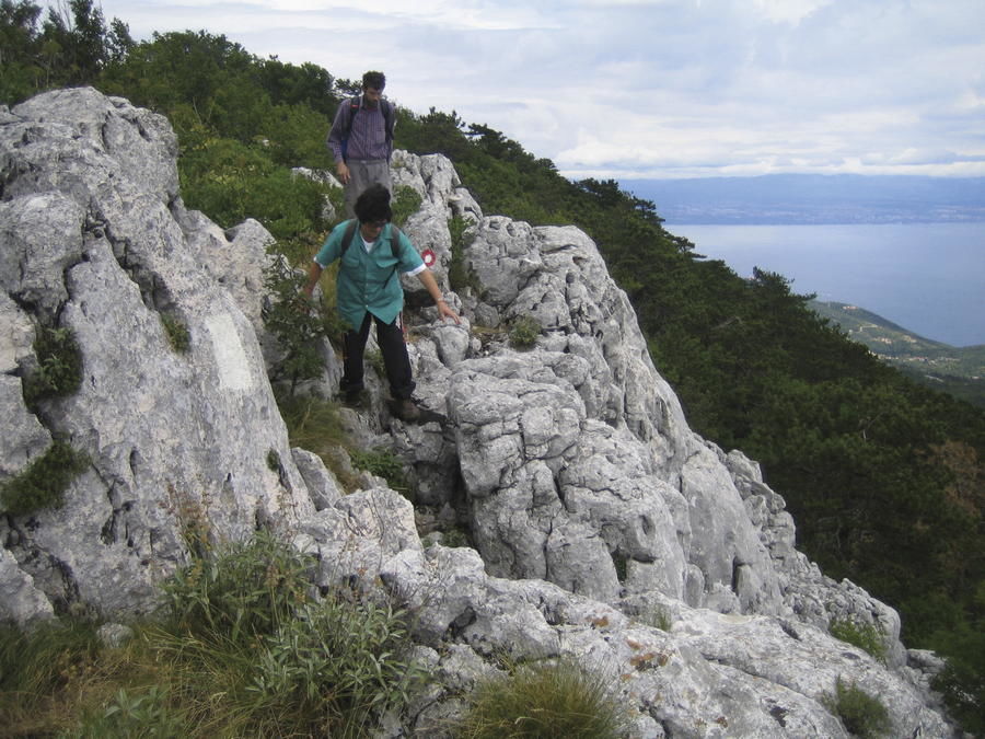
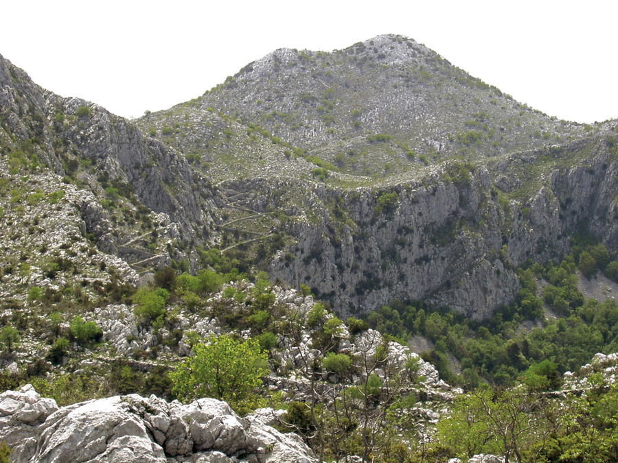
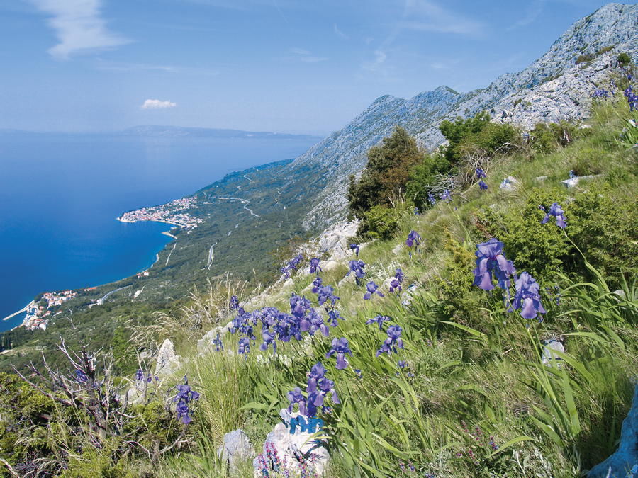
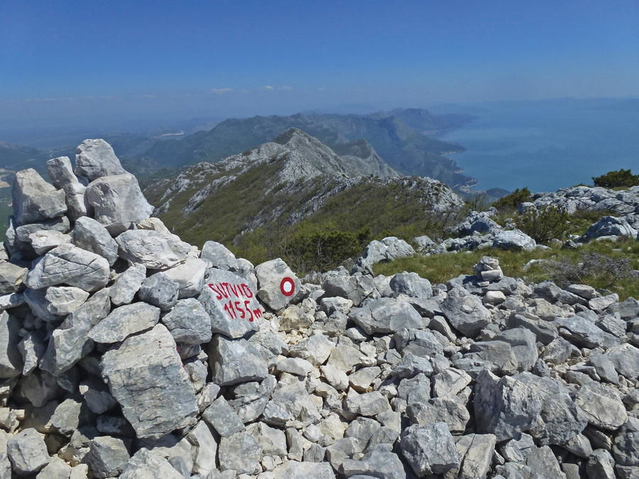
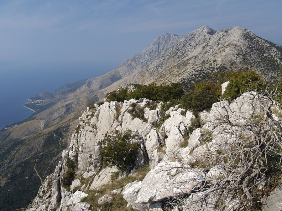
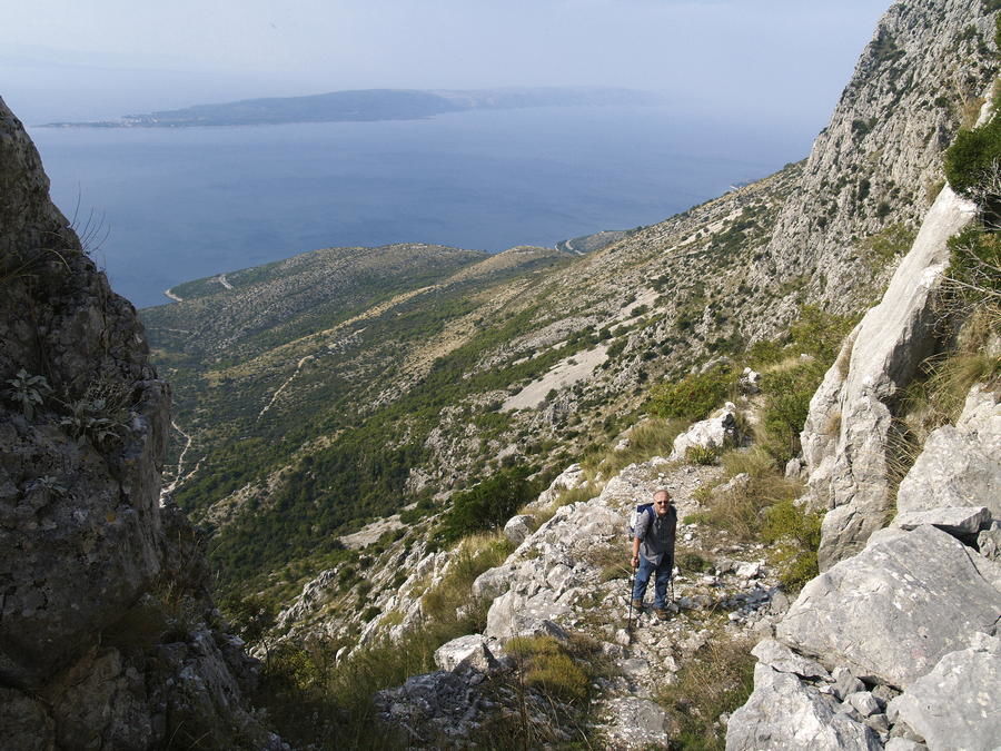
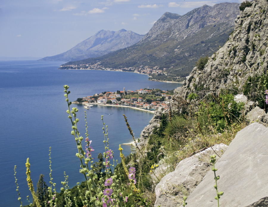
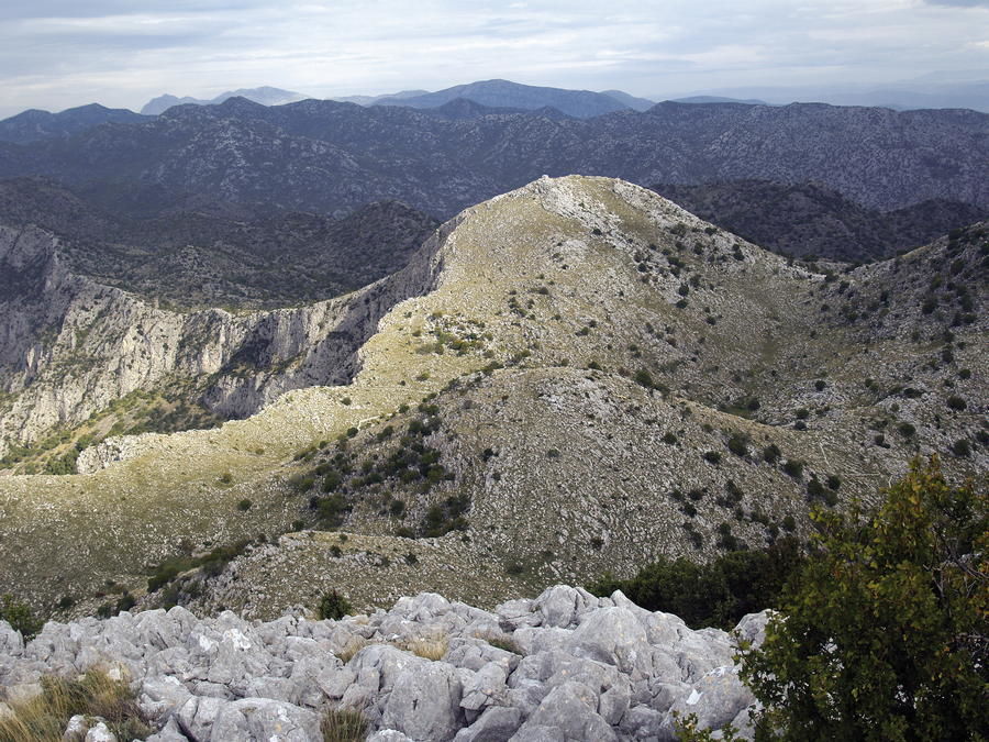
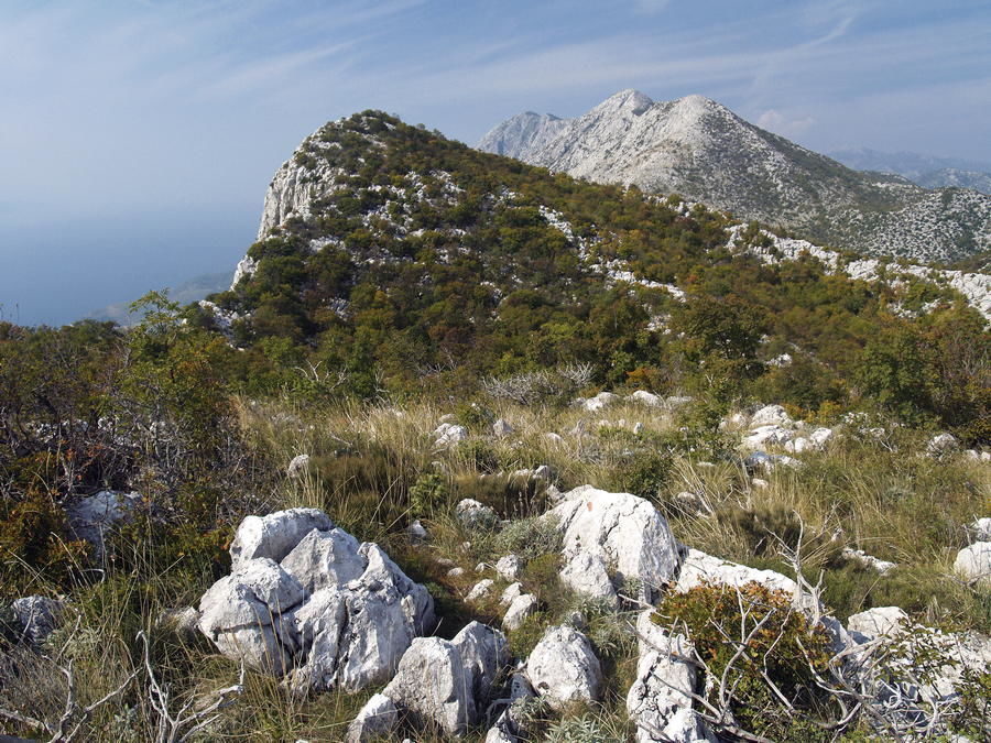
Although it is lower and separated from the central part of Biokovo, the mountain of Rilić is a natural southeastern extension of Biokovo. The mountain of Rilić spreads along the same northwest to southeast axis along the Adriatic coast as the Dinarides. A particularly pronounced relief feature is a series of rocky peaks spreading in the immediate vicinity of the Adriatic coast like a stone wall, making this section of the Makarska riviera stunningly picturesque. In the interior part of the mountain, there are several mountain slopes that are not particularly high, but serve as excellent viewpoints.
- Sværhedsgrad
-
medium
- Evaluering
-
- Rute
-
KozicaŠošići2,5 kmČikići3,3 kmGornje Igrane4,1 kmMiočevići4,3 kmRudelji5,8 kmBrikva9,7 kmJovići-Mučki11,4 kmSokolić (788 m)18,5 kmSelo21,1 kmJagmići21,6 kmKosirišće22,3 kmKapelica Djevice Marije23,4 kmKosovići24,5 kmSrida Sela24,9 kmDespoti25,1 kmStara Podaca28,5 kmCrkva Sv. Stjepana Prvomučenika (XVIII st.)28,6 kmBrist30,5 kmSv. Paškal36,2 kmSveti Ilija (773 m)37,5 kmGradac41,8 kmMakarska Riviera45,0 kmRudine48,0 kmKruševo49,5 kmBara51,9 kmBaćina52,8 kmŠipak53,0 kmcrkva Kraljice Neba i Zemlje54,8 kmPorto Tolero55,2 kmPloče55,6 km
- Bedste sæson
-
janfebmaraprmajjunjulaugsepoktnovdec
- Højeste punkt
- 766 m
- Destination
-
Sutvid (iznad Živogošća)
- Højdeprofil
-
 © outdooractive.com


-

-
ForfatterRundvisningen Via Dinarica HR-B-19 Southeastern area of Biokovo (Rilić) bruges af outdooractive.com forudsat.