

© Terra Dinarica - Alan Čaplar
© Terra Dinarica - Alan Čaplar
© Terra Dinarica - Alan Čaplar
© Terra Dinarica - Alan Čaplar

© Terra Dinarica - Alan Čaplar
© Terra Dinarica - Alan Čaplar

© Terra Dinarica - Alan Čaplar
© Terra Dinarica - Alan Čaplar
© Terra Dinarica - Alan Čaplar
© Terra Dinarica - Alan Čaplar

- Kort beskrivelse
-
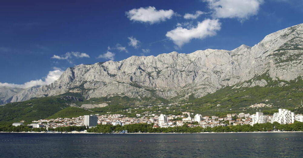
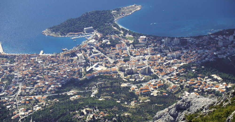
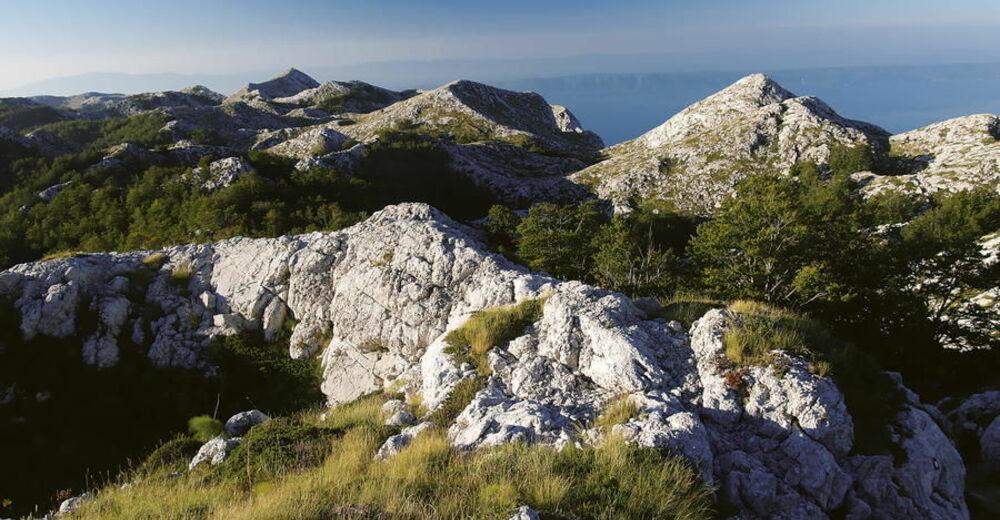
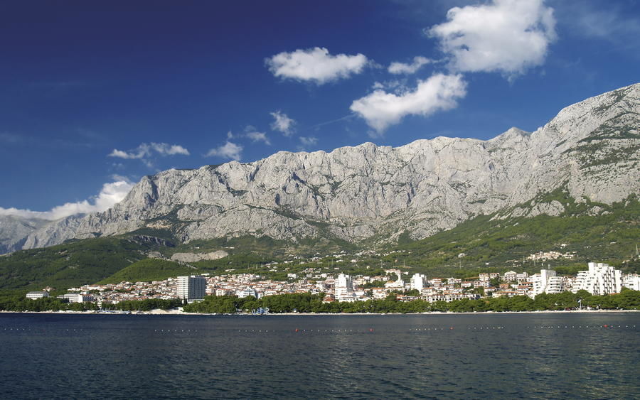
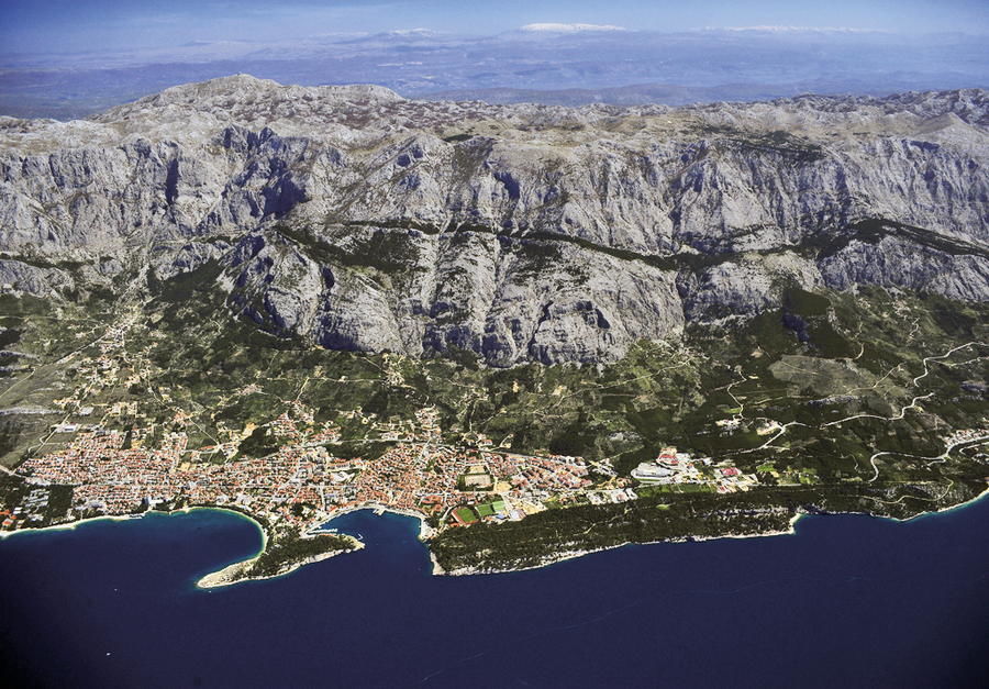
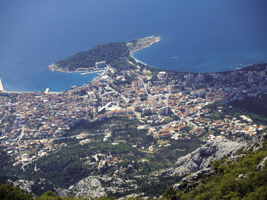
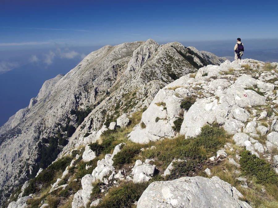
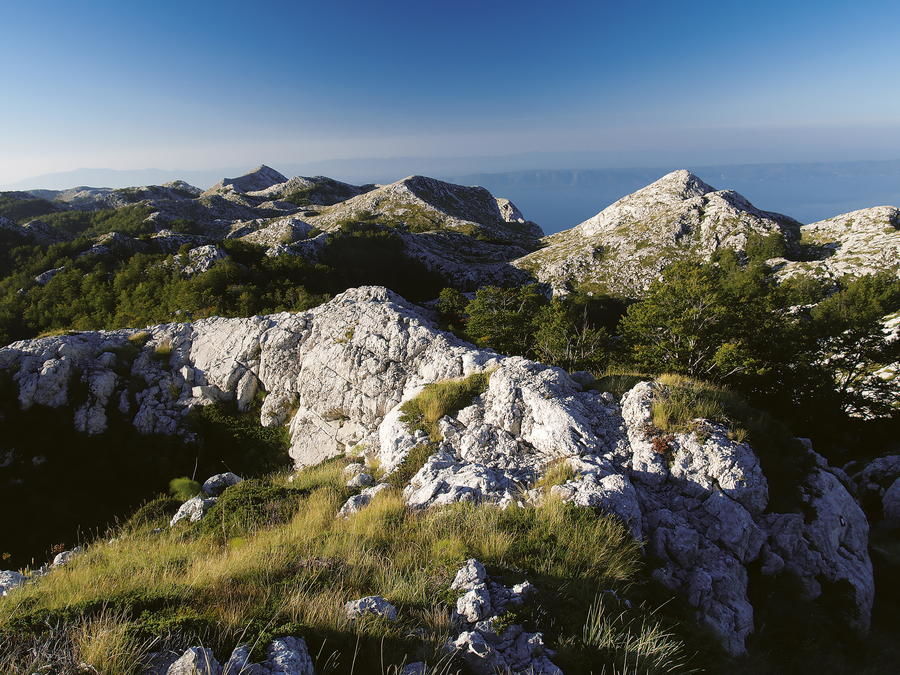
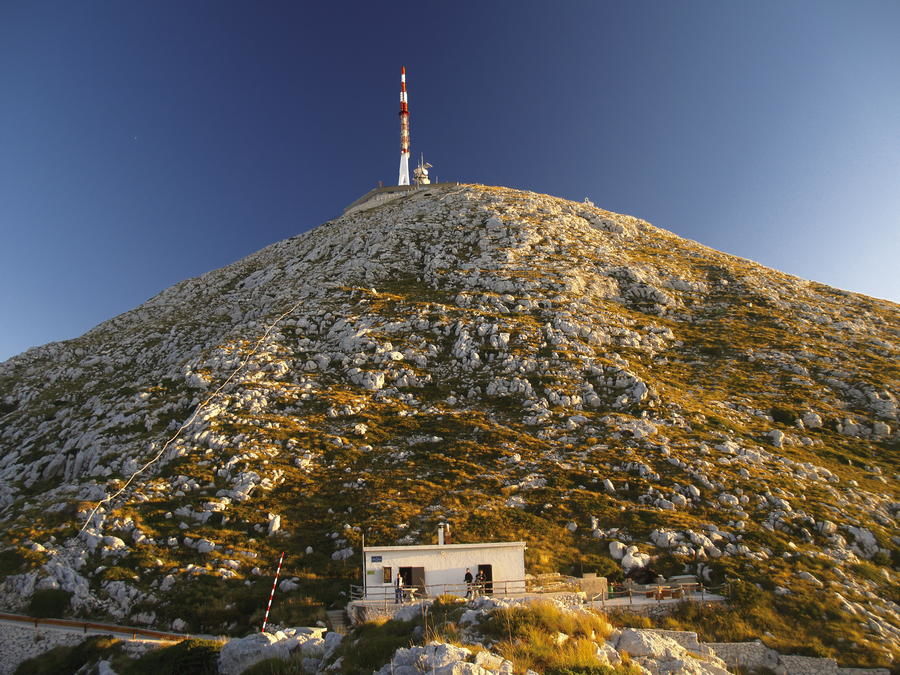
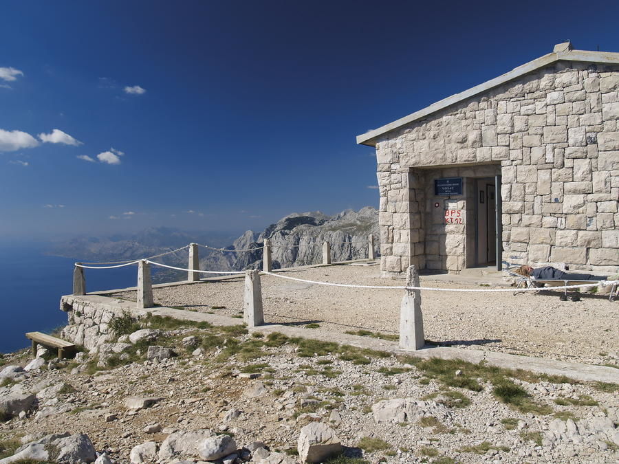
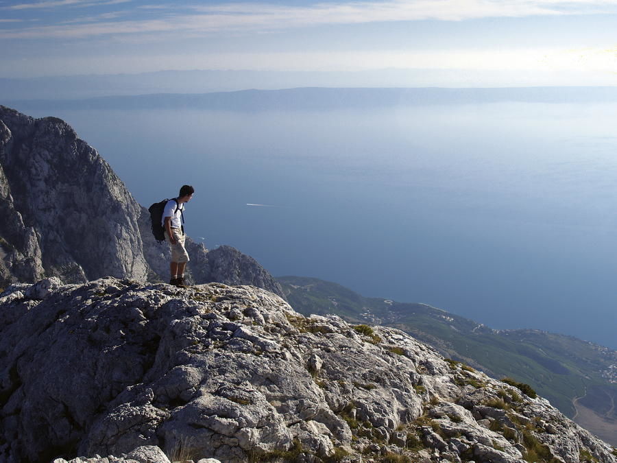
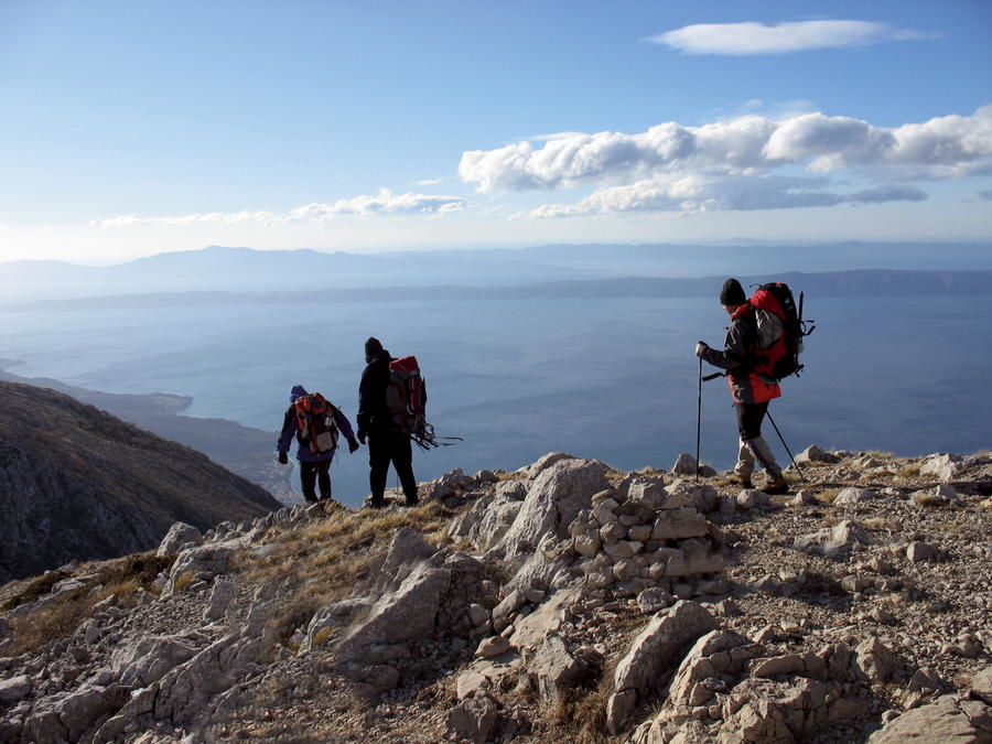
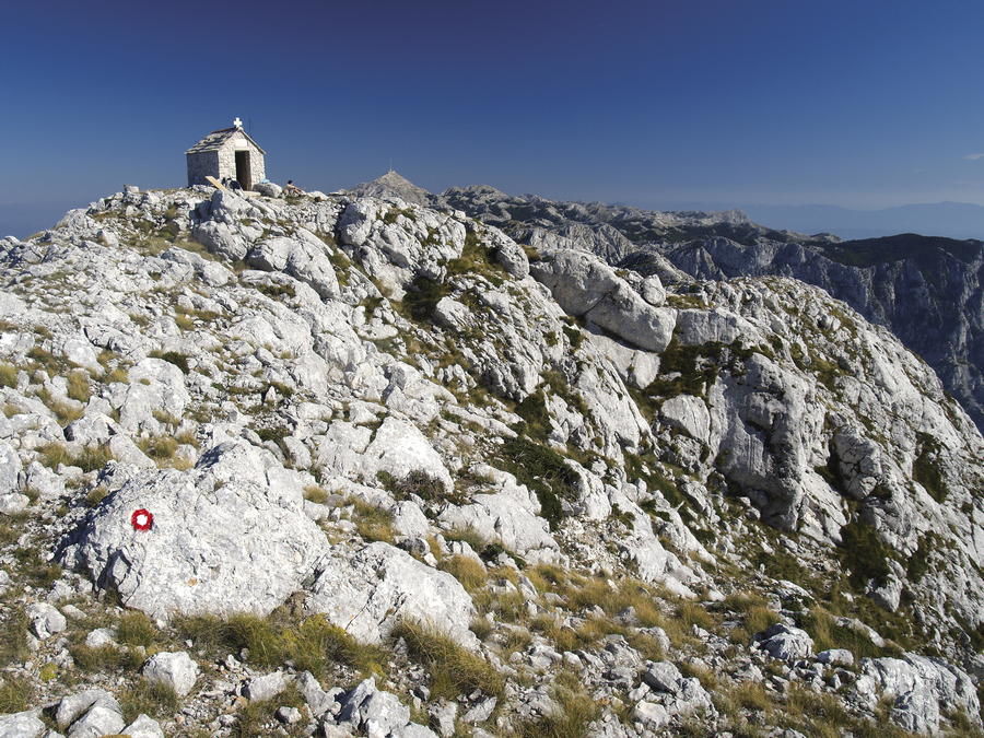
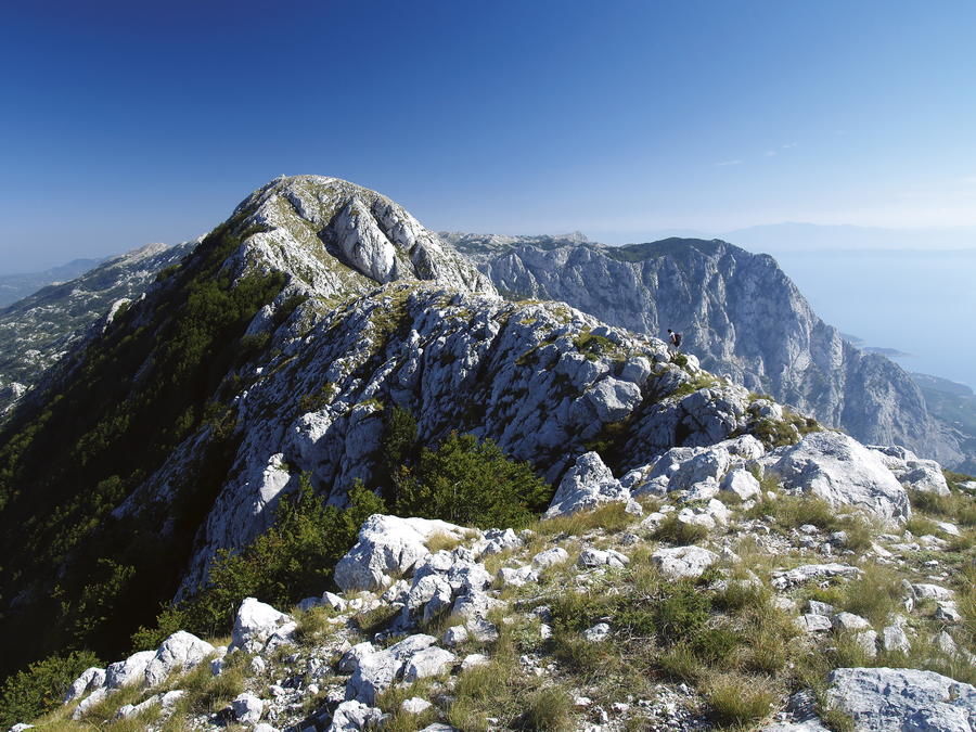
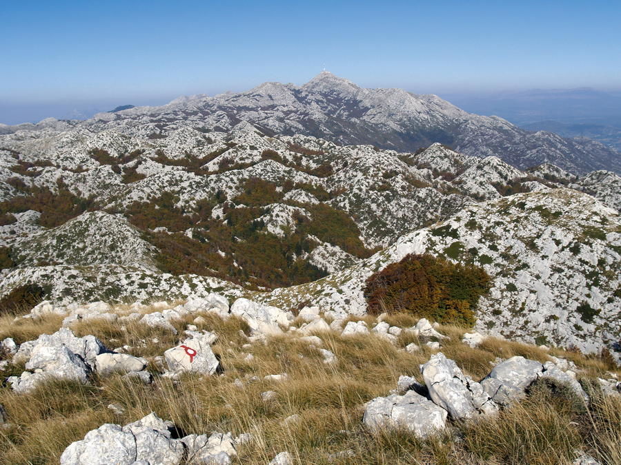
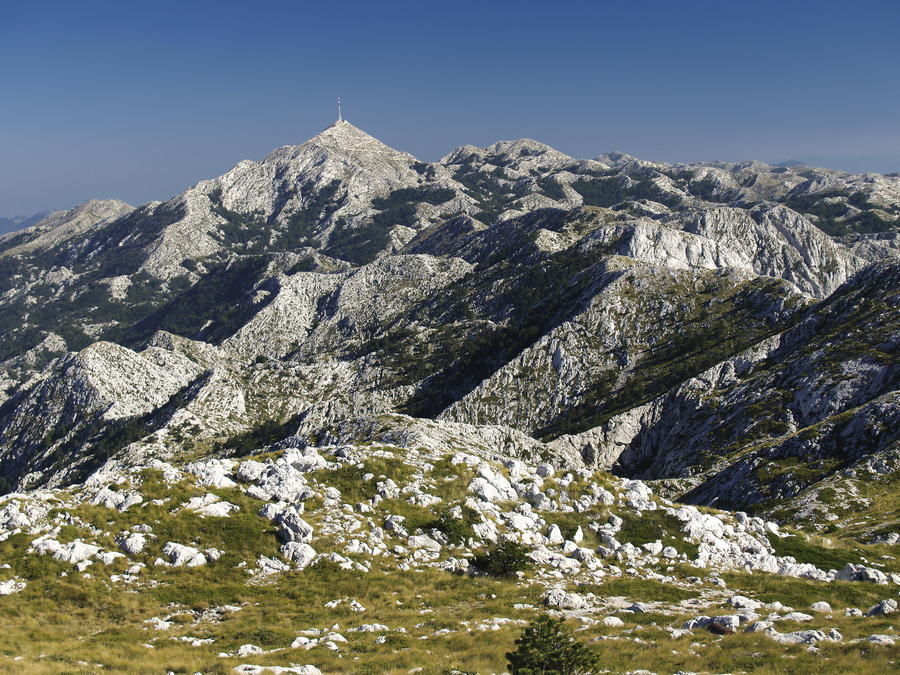
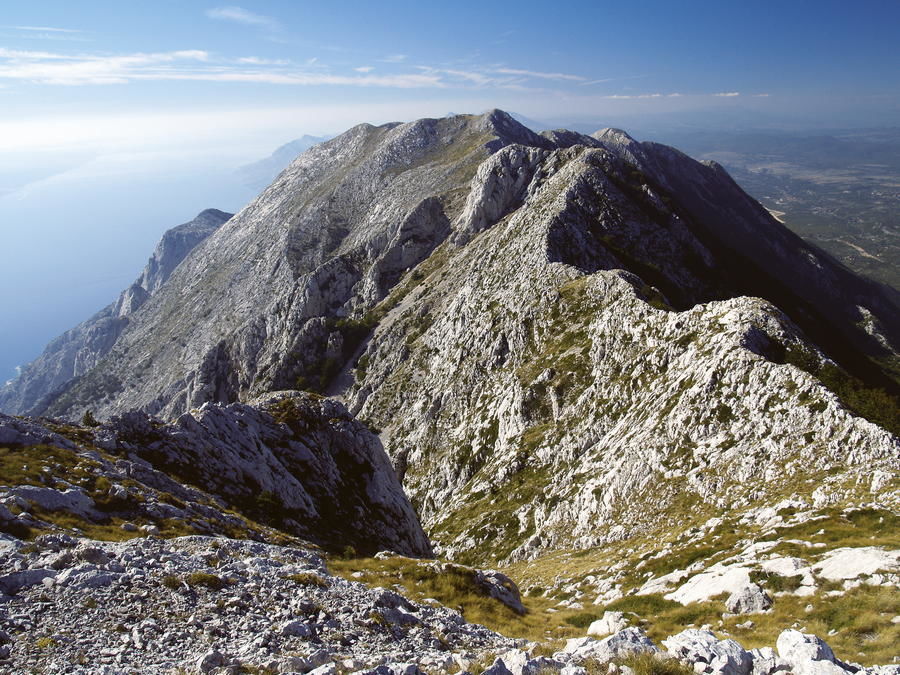
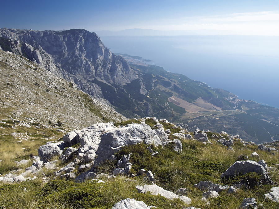
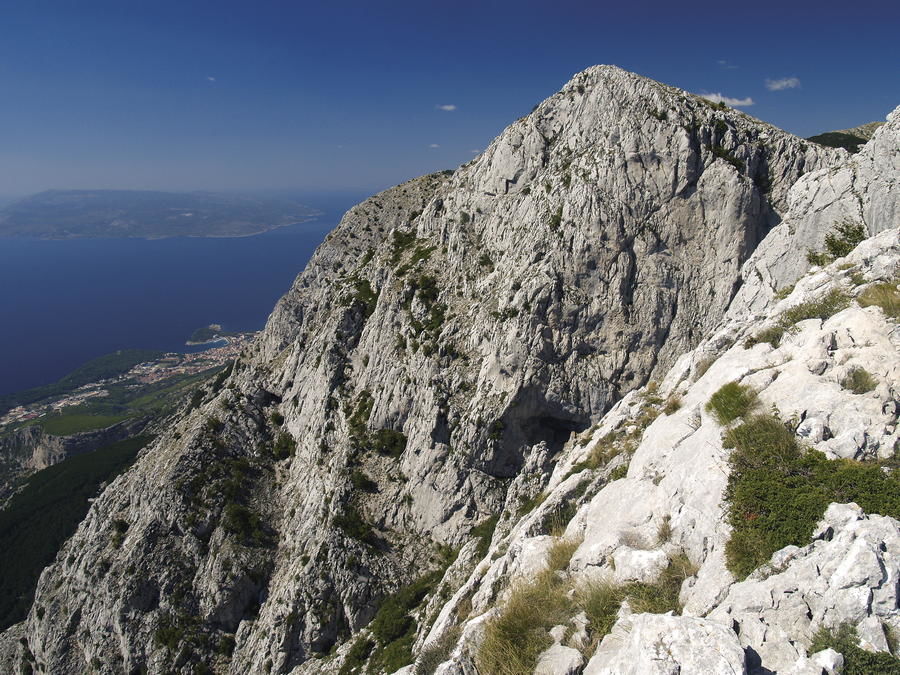
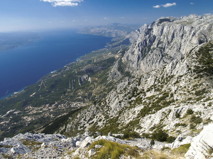
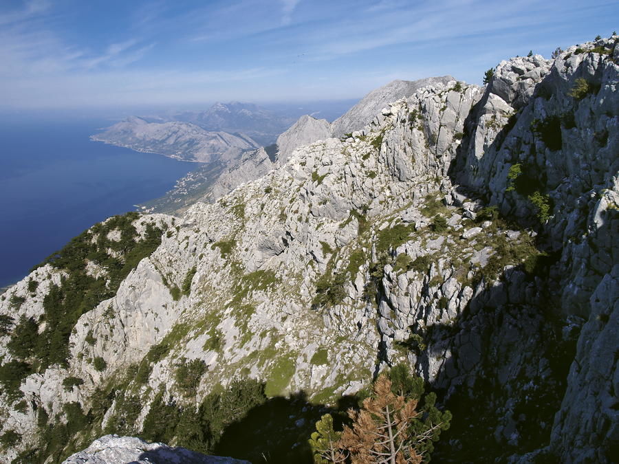
Nowhere else has the gigantic mountain chain of the Dinarides approached the sea so close, or created an image as exciting and impressive, as in the area of the Makarska riviera. The view from the sea of the imposing wall of Biokovo with its rocks, talus deposits, cracks and towers is the key feature of this part of the Adriatic coast, and a compulsory vista on all postcards of the riviera.
- Sværhedsgrad
-
tung
- Evaluering
-
- Rute
-
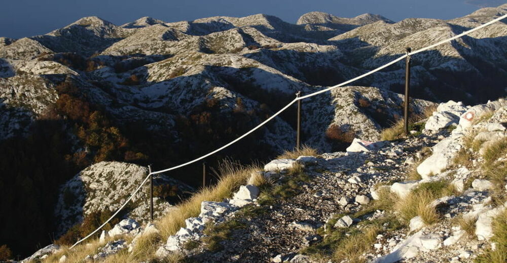
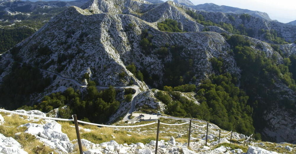
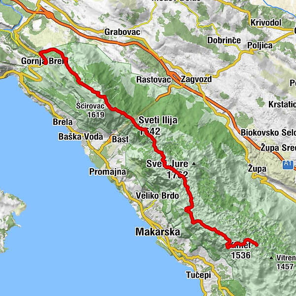
Gornja BrelaSubotišćeUrsići2,4 kmTomaši3,0 kmBartulovići3,3 kmGrljak6,0 kmPozjata7,8 kmSpilja Pozjata7,8 kmŠćirovac (1.619 m)9,4 kmLedenica (1.589 m)10,6 kmSveti Ilija (1.642 m)11,7 kmKorenik (1.556 m)13,7 kmĆulica (1.529 m)14,7 kmPlaninarski dom pod Vošcom21,7 kmVošac (1.421 m)22,5 kmŠtrbina (1.338 m)23,2 kmPerčin (1.373 m)23,8 kmSkywalk28,7 kmVilenjača (1.240 m)28,8 kmKimet (1.536 m)31,7 km
- Bedste sæson
-
janfebmaraprmajjunjulaugsepoktnovdec
- Højeste punkt
- 1.634 m
- Destination
-
Kozica
- Højdeprofil
-
 © outdooractive.com


-

-
ForfatterRundvisningen Via Dinarica HR-B-18 Biokovo Nature Park bruges af outdooractive.com forudsat.
GPS Downloads


Flere ture i regionerne
-
Mittel-Dalmatien
17
-
Makarska
6