
- Kort beskrivelse
-
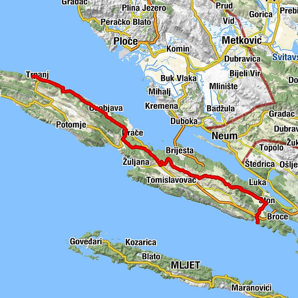
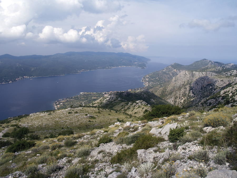
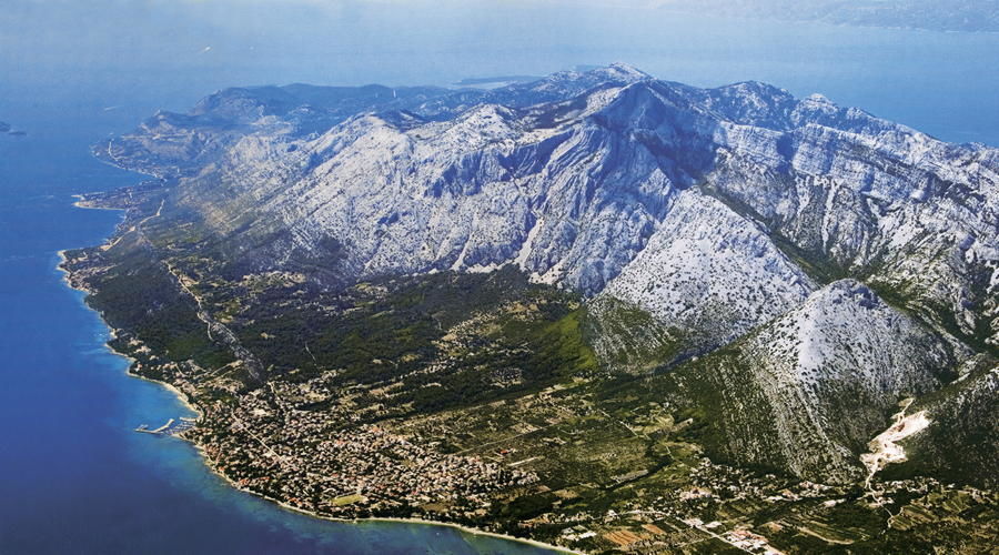
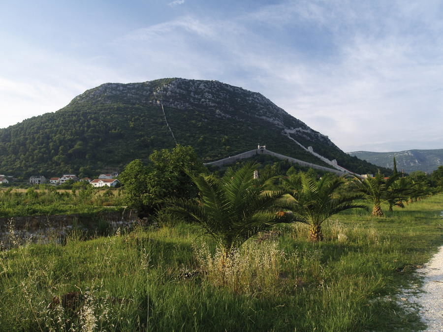
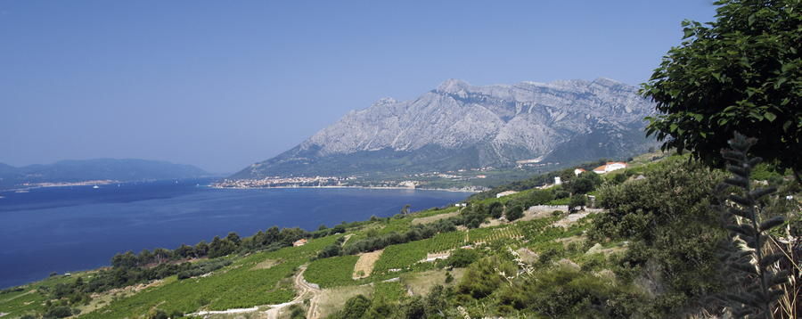
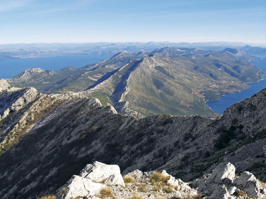
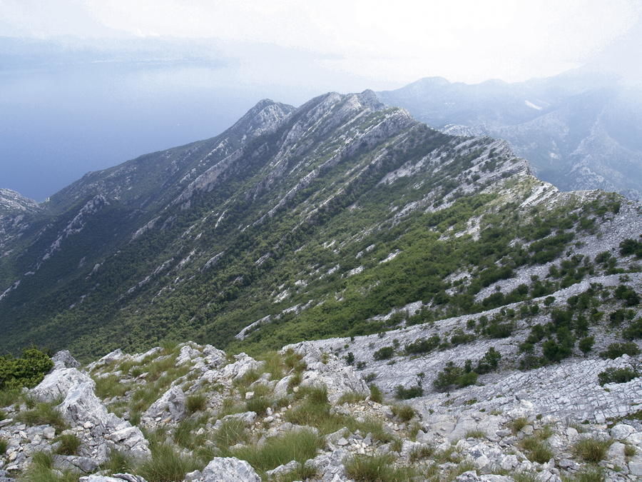
After Istria, Pelješac is the largest Croatian peninsula (348 square kilometers). It is located between the channels of Neretvanski kanal and Malostonski kanal to the north and the channels of Pelješki kanal and Mljetski kanal to the south. The peninsula is 62 kilometers long and only 3 kilometers to 8 kilometers wide. It is linked with the mainland by a strip of land 1.5 kilometers wide called Stonska prevlaka, so it resembles an island more than a peninsula in its general geographic characteristics. The highest area of Pelješac is in the northwestern part of the peninsula, above the town of Orebić. The width of Pelješki kanal in this area is only 1270 meters, offering safety to vessels against gusts of bora wind due to the relief barrier to the north, so this channel historically played the role of the southern gateway to the central littoral region. Therefore, the position of Orebić in the narrowest part of the channel was a decisive factor in rapid development of navigation at Pelješac during the era of sailing ships. In the second half of the 19th century, the maritime society of Pelješac thus had 33 oceangoing sailing ships.
- Sværhedsgrad
-
medium
- Evaluering
-
- Rute
-
Trpanj0,2 kmcrkva svetog Petra i Pavla0,6 kmTrpanj0,7 kmcrkva Gospe od Karmela0,8 kmOsobjava13,9 kmDol17,5 kmŽarma18,1 kmDomanuta19,3 kmJanjina19,5 kmDubrava27,0 kmPrčevići34,7 kmRadetići35,0 kmDančanje35,0 kmŠatare35,8 kmČesvinica45,4 kmStagno48,6 kmSv. Kata50,2 kmMili51,1 kmPrapratno51,8 kmPrapratno52,4 km
- Bedste sæson
-
janfebmaraprmajjunjulaugsepoktnovdec
- Højeste punkt
- 428 m
- Destination
-
luka Papratno
- Højdeprofil
-
 © outdooractive.com

-

-
ForfatterRundvisningen Via Dinarica HR-B-20 Pelješac bruges af outdooractive.com forudsat.