© Destination Gstaad - Destination Gstaad / Yannick Romagnoli


- Kort beskrivelse
-
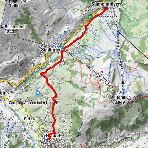
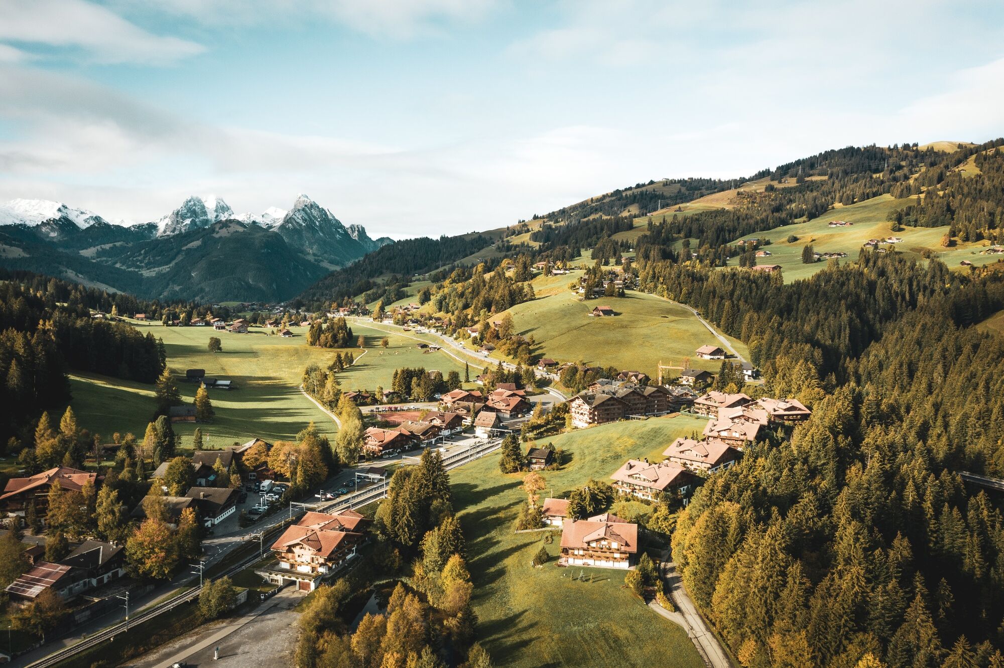
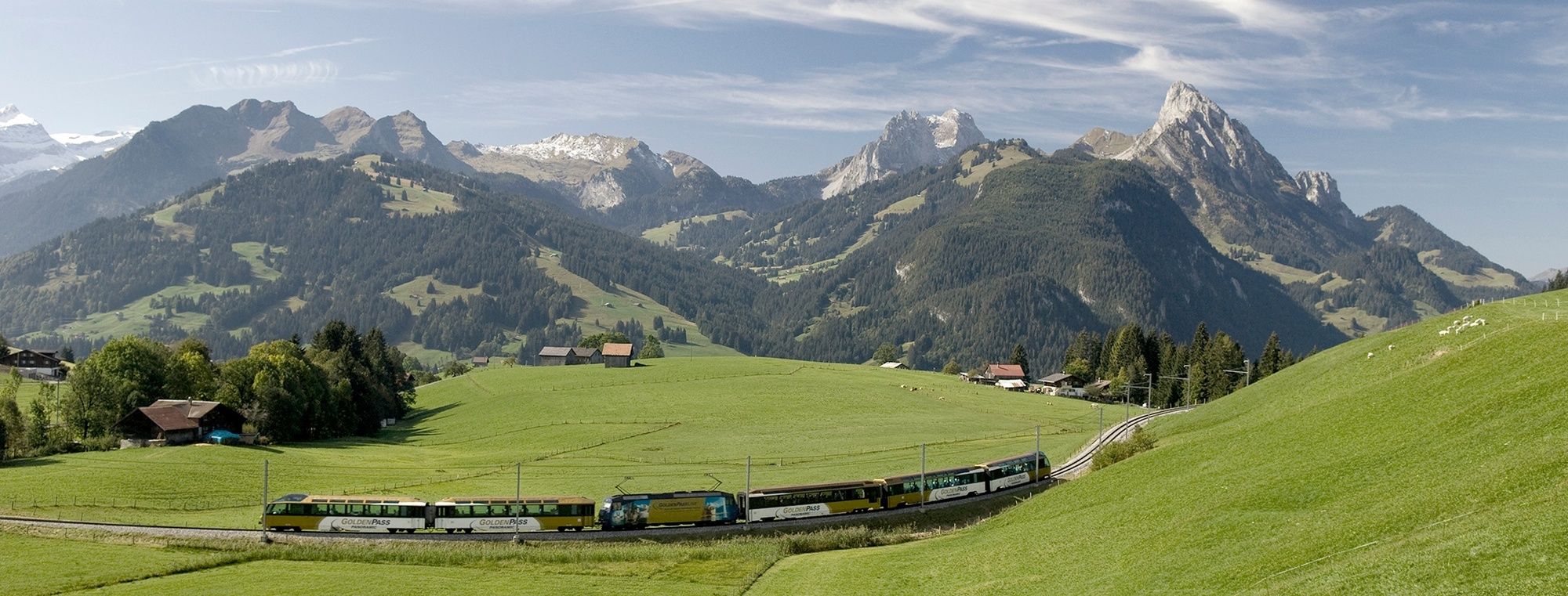
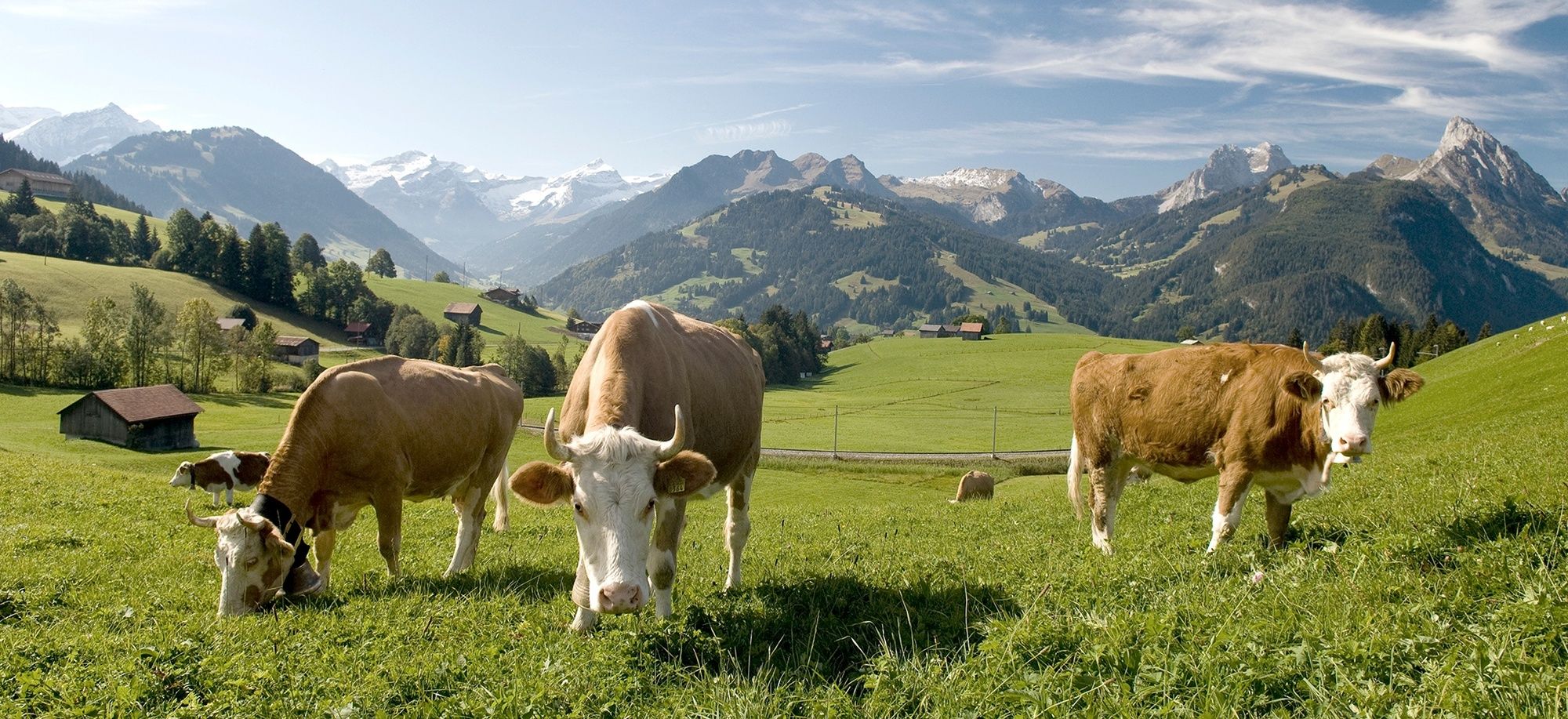
This continual downhill trail from Saanenmöser via Schönried to Gstaad is a varied hike for enthusiastic hikers. It offers views of towering mountain peaks and into the historic heart of the Saanenland.
- Sværhedsgrad
-
let
- Evaluering
-
- Rute
-
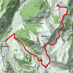
Saanenmöser (1.271 m)0,0 kmSchönried (1.200 m)2,4 kmGstaad (1.050 m)6,8 kmMango6,8 kmPizerria Victoria6,9 kmGstaad (1.049 m)7,0 km
- Bedste sæson
-
janfebmaraprmajjunjulaugsepoktnovdec
- Højeste punkt
- 1.273 m
- Destination
-
Gstaad
- Højdeprofil
-
 © outdooractive.com
-

-
ForfatterRundvisningen Saanenmöser – Schönried – Gstaad bruges af outdooractive.com forudsat.
GPS Downloads


Flere ture i regionerne
-
Thyon les Collons
1426
-
Destination Gstaad
729
-
Schönried
192