


- Kort beskrivelse
-
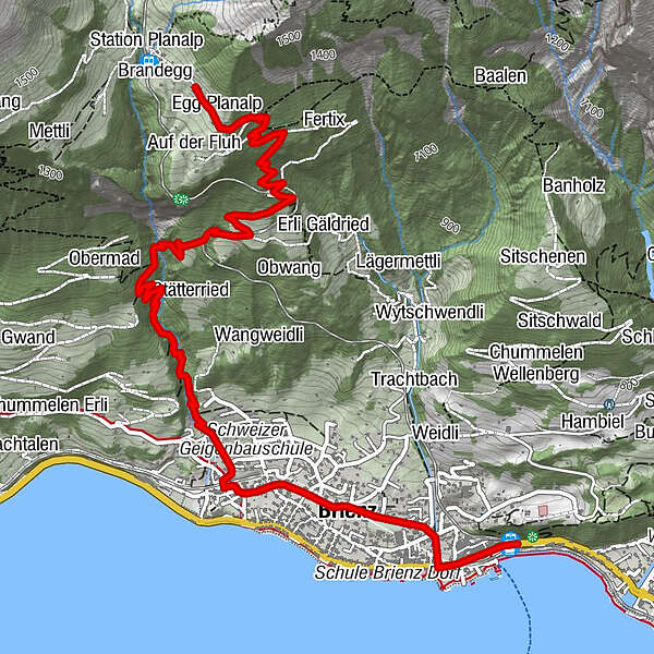
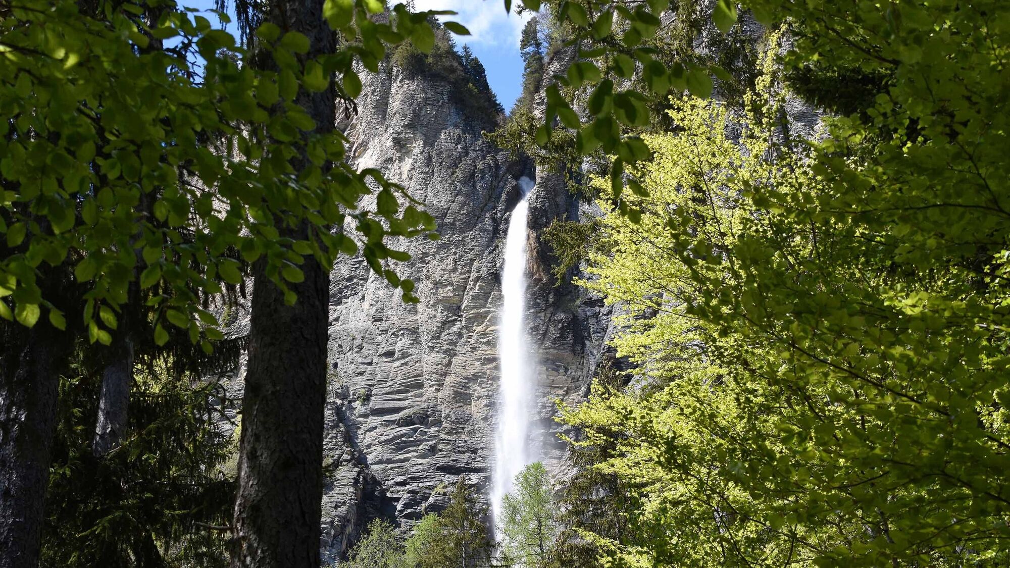
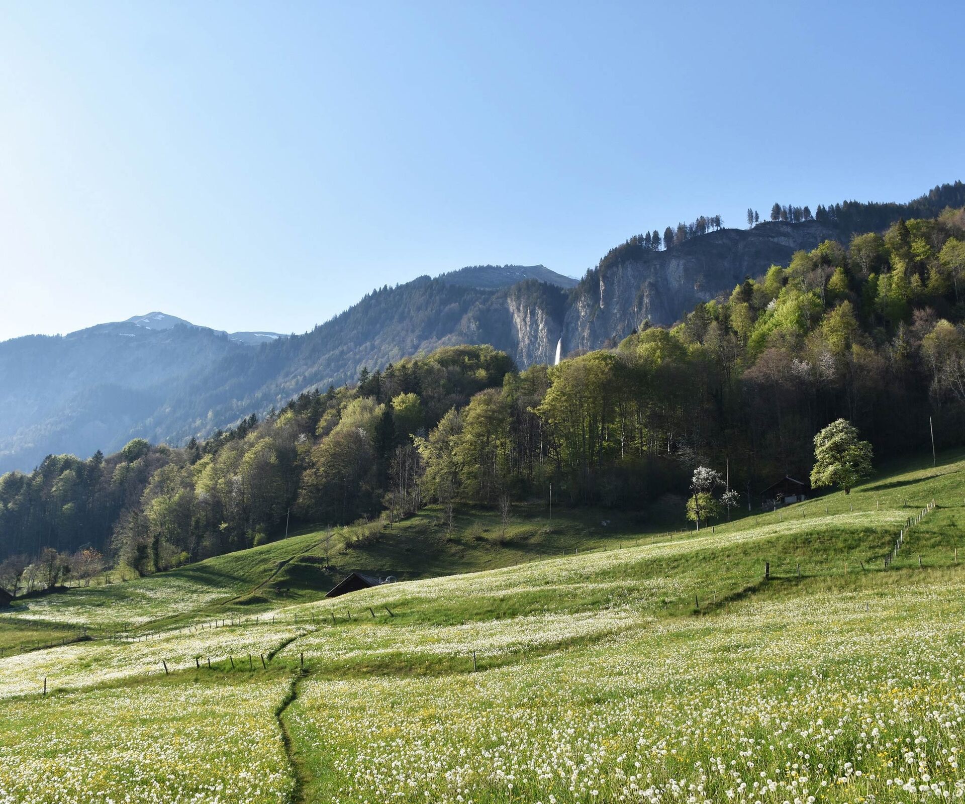
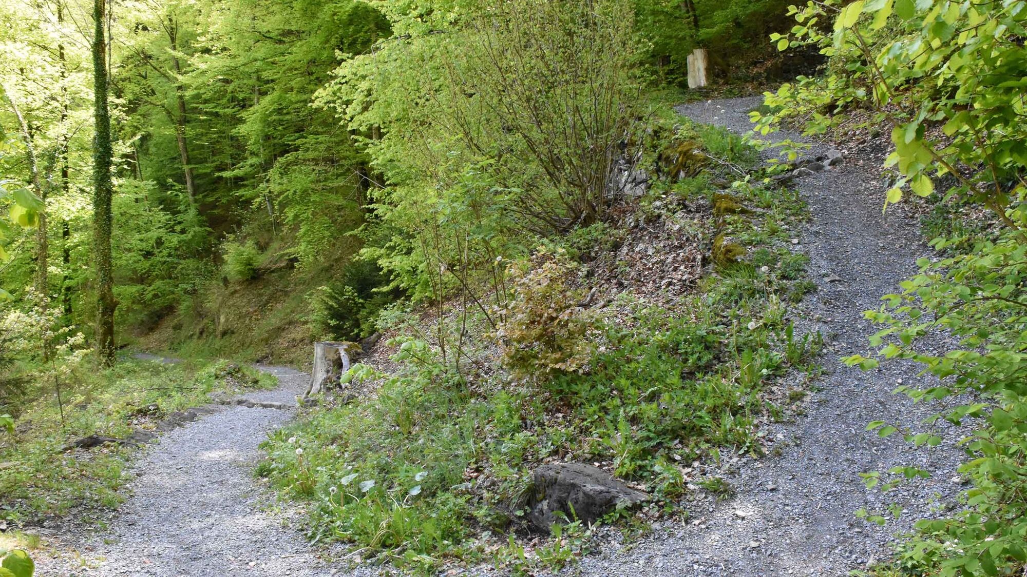
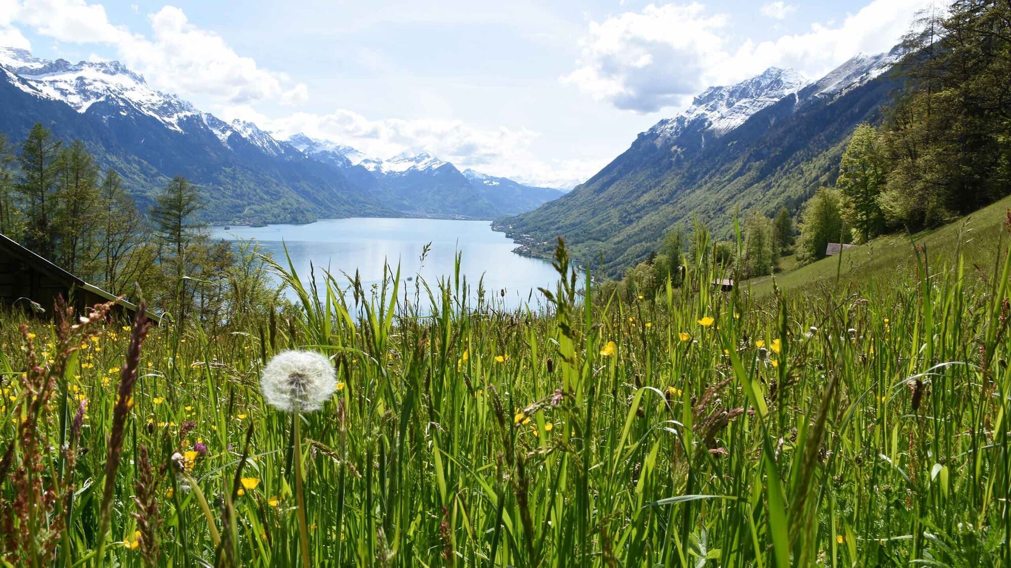
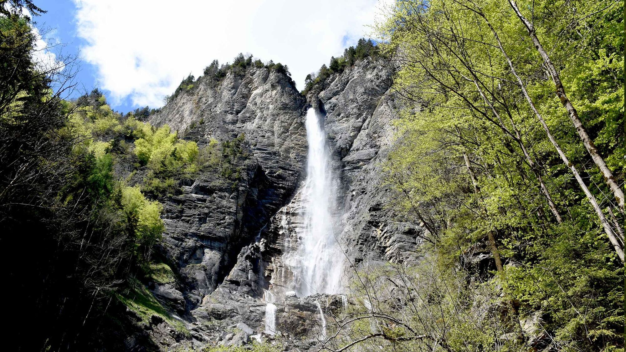
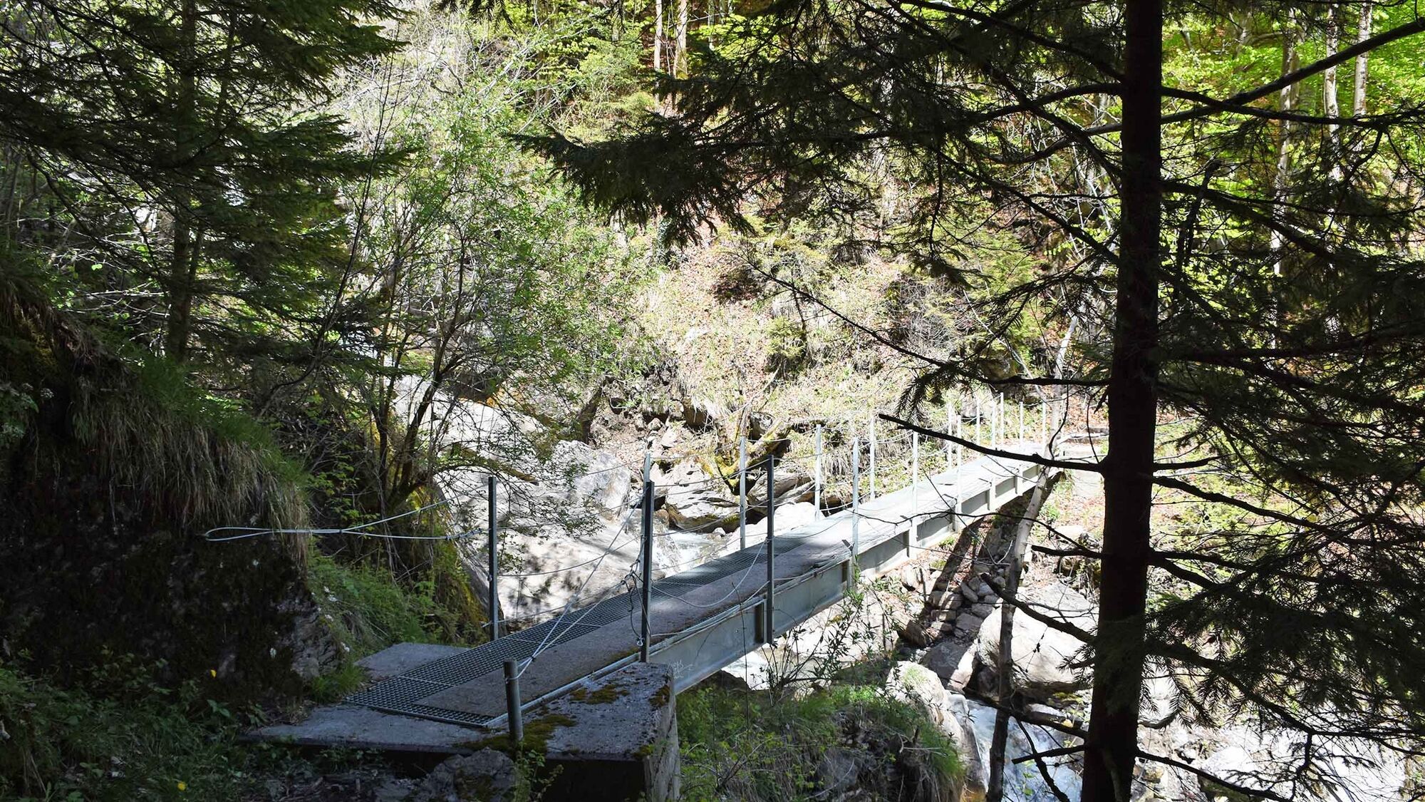
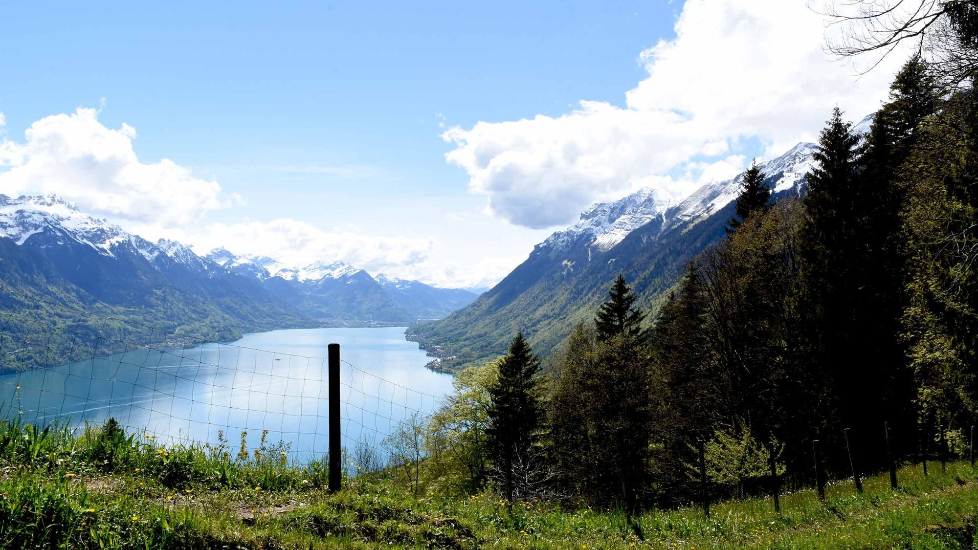
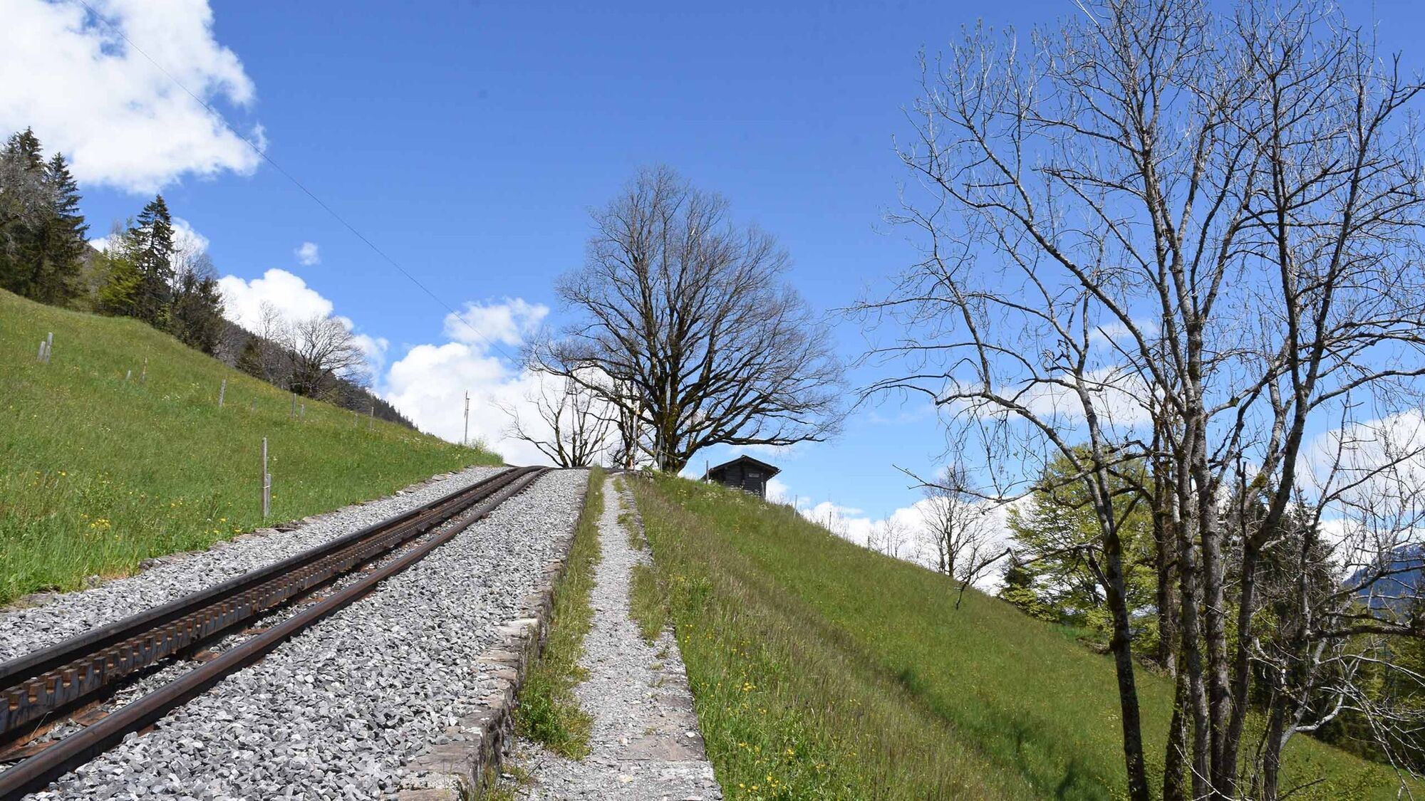
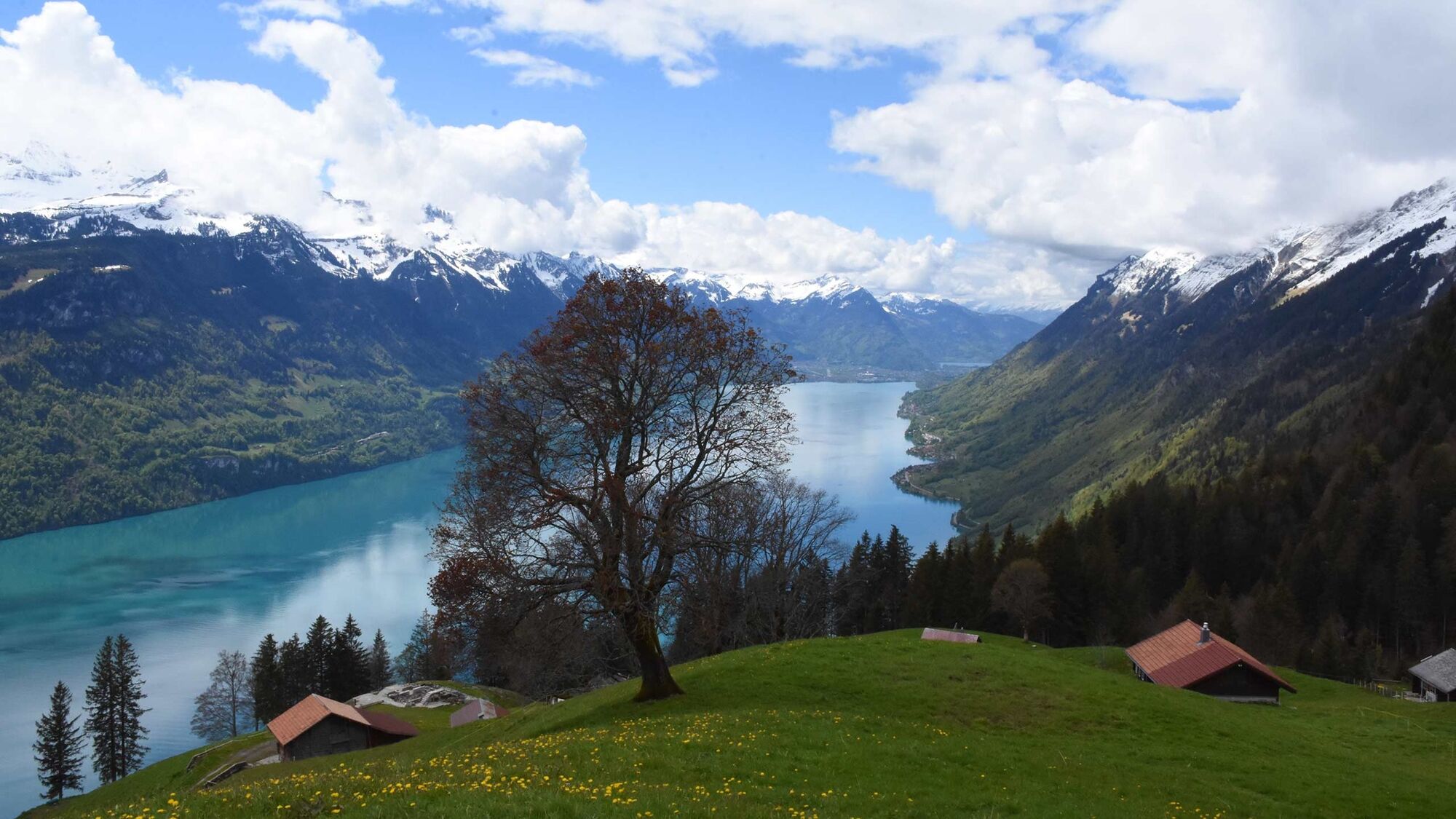
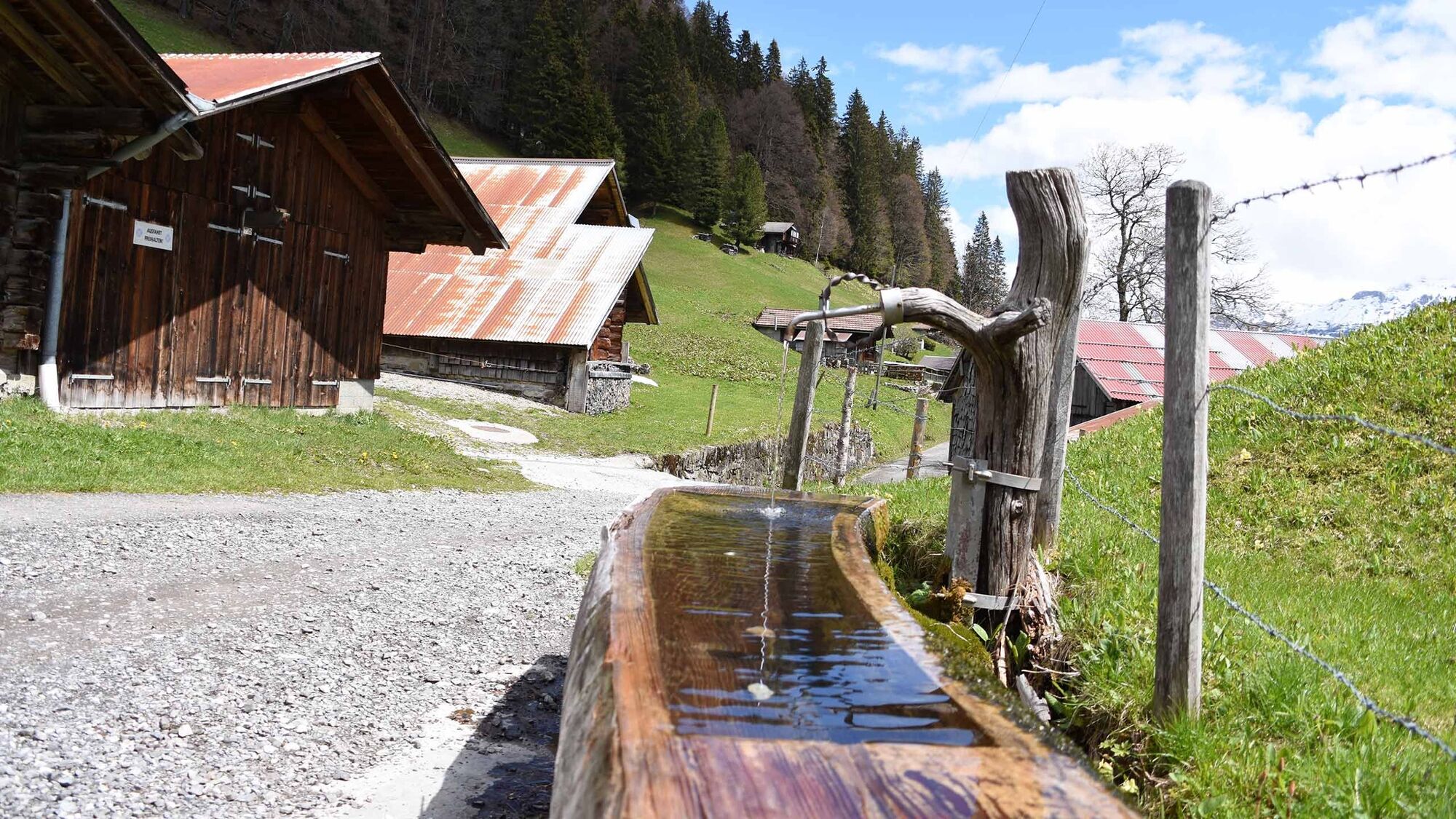
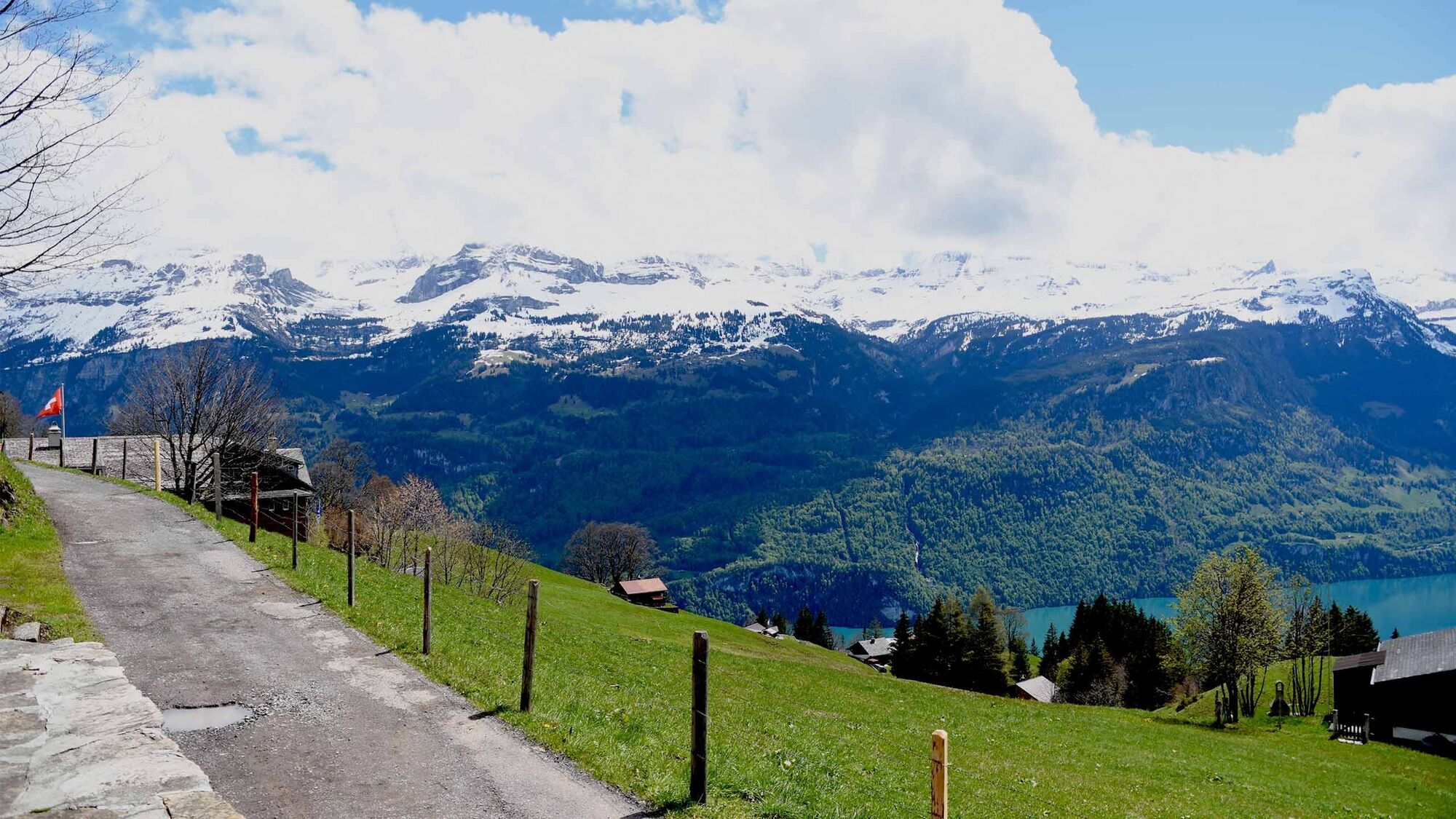
A well-signposted, varied trail with a steady incline that takes you across fields and follows the Milibach river via Gäldried to Planalp.
- Sværhedsgrad
-
medium
- Evaluering
-
- Rute
-
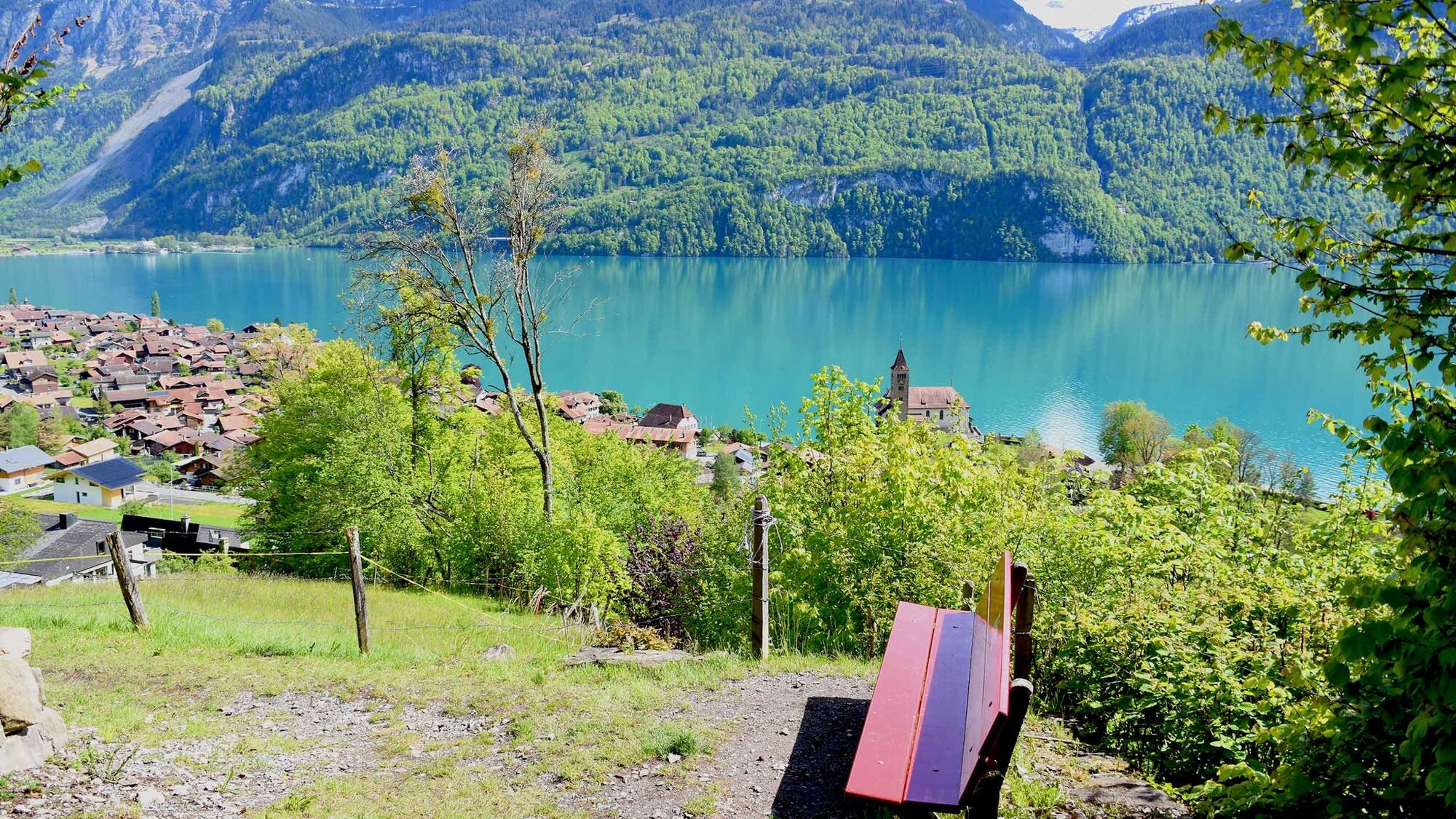
Brienz0,0 kmBrienz (574 m)0,8 kmGampeli1,8 kmMilibachfall2,9 kmEgg Planalp5,1 kmMoos5,2 kmWyder5,2 kmRestaurant Planalp5,2 km
- Bedste sæson
-
janfebmaraprmajjunjulaugsepoktnovdec
- Højeste punkt
- 1.340 m
- Destination
-
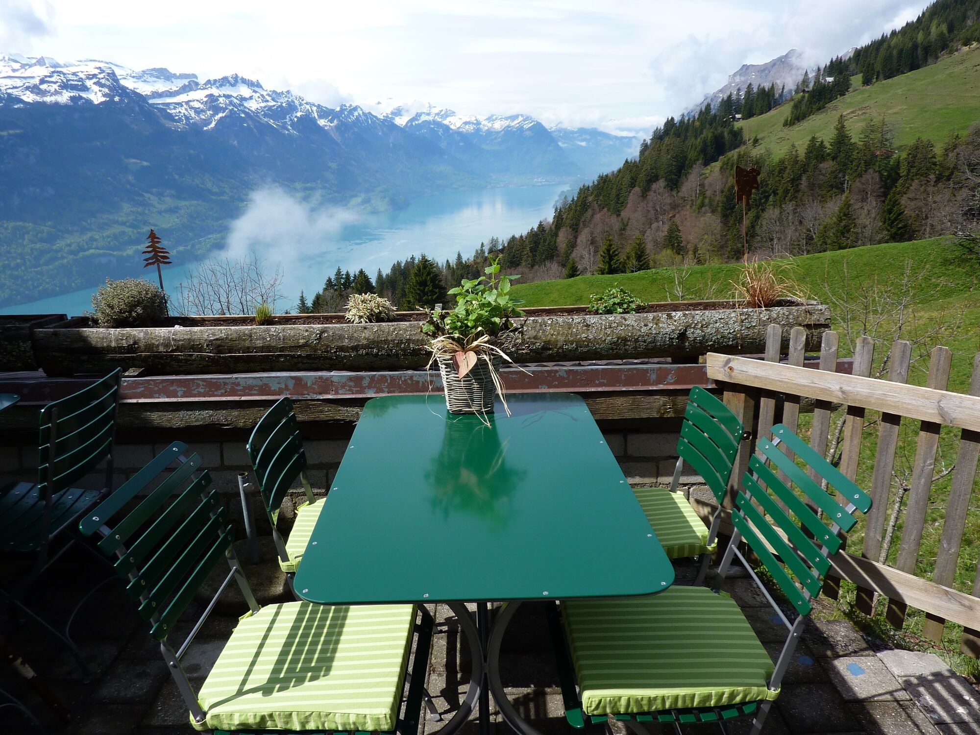
Berghaus Planlap
- Højdeprofil
-
 © outdooractive.com

- Forfatter
-
Rundvisningen Hiking tour Brienz – Gäldried – Planalp bruges af outdooractive.com forudsat.
GPS Downloads


Generel information
Forfriskningsstop
Lovende
Flere ture i regionerne
-
Obwalden
2027
-
Brienzersee
1069
-
Brienz - Axalp
387


