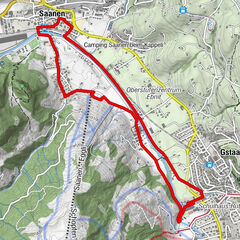
Tiger Trail: Wasserngrat valley station - Wasserngrat mountain station

Trailrunning
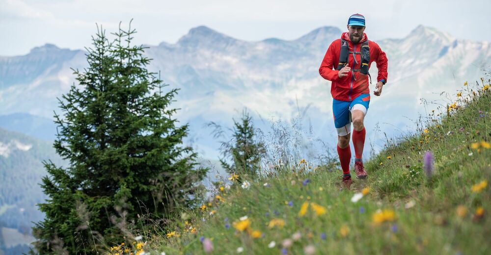
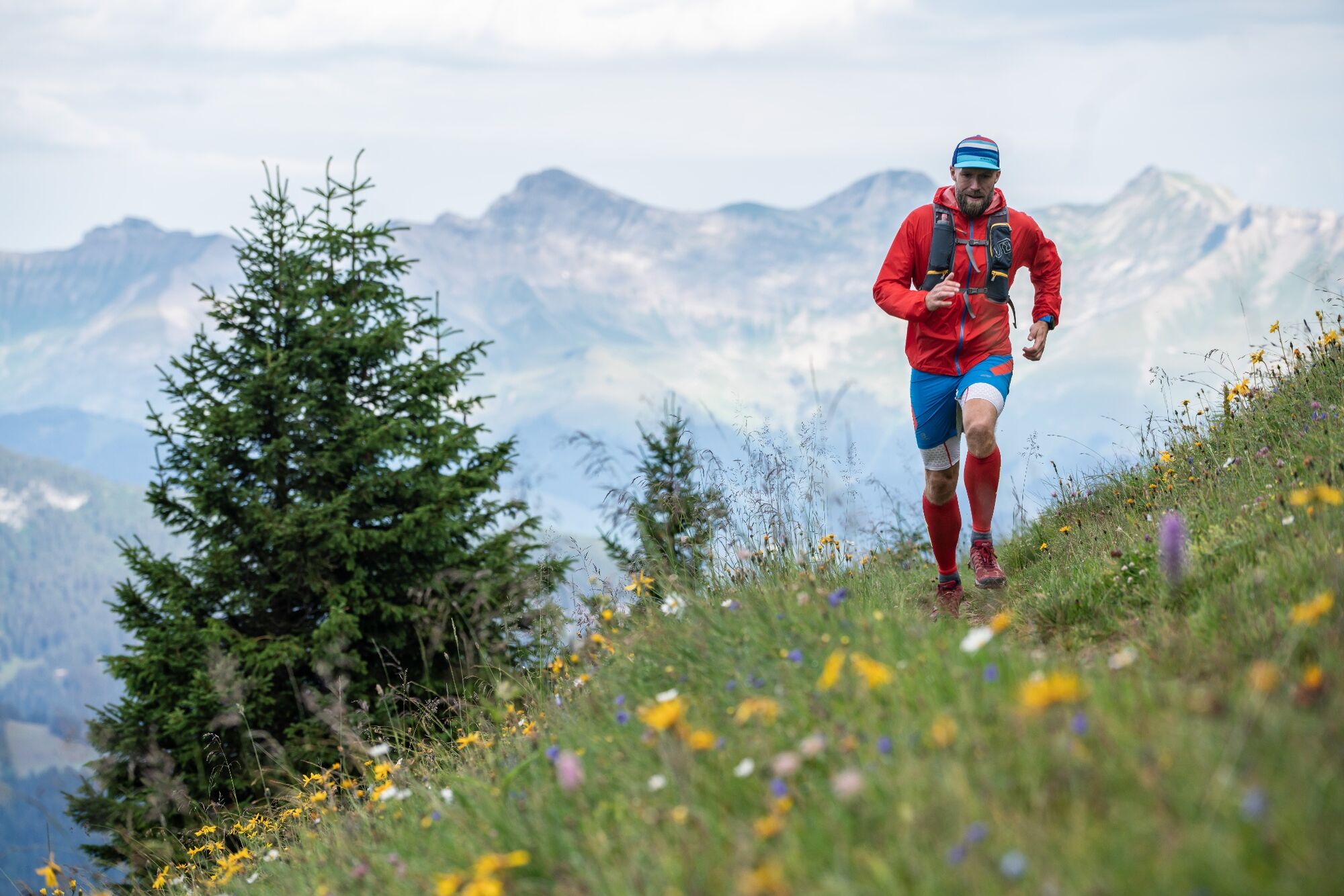
© Destination Gstaad - Destination Gstaad / Tom Malecha

- Kort beskrivelse
-
Short but steep trail running course from the valley station to the top station of the Wasserngrat cable car.
- Sværhedsgrad
-
let
- Evaluering
-
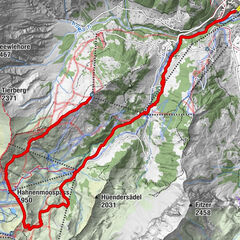
- Rute
-
Eagles Ski Club3,0 km
- Bedste sæson
-
janfebmaraprmajjunjulaugsepoktnovdec
- Højeste punkt
- 1.935 m
- Destination
-
Wasserngrat mountain station
- Højdeprofil
-
 © outdooractive.com
-

-
ForfatterRundvisningen Tiger Trail: Wasserngrat valley station - Wasserngrat mountain station bruges af outdooractive.com forudsat.
GPS Downloads


Generel information
Forfriskningsstop
Lovende
Flere ture i regionerne
-
Thyon les Collons
93
-
Destination Gstaad
46
-
Gstaad
18