

© Lauterbrunnen Tourismus - Heinz Kägi
- Kort beskrivelse
-
Easy hike, suitable also for strollers or buggies.
- Sværhedsgrad
-
let
- Evaluering
-
- Rute
-
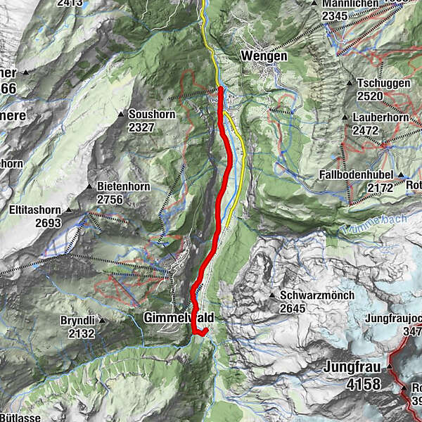
Steinbock0,0 kmLauterbrunnen0,1 kmBei der Zuben0,1 kmGsteigermatte0,2 kmFood Point0,2 kmGreifenbach0,3 kmBeim Schulhaus0,4 kmFuhrenboden0,5 kmLauterbrunnen0,6 kmBeim Pfrundhaus0,6 kmCascada de Staubbach0,9 kmStaubbach1,0 kmBei der Buche2,4 kmGydisdorf2,8 kmBrüggmatte3,6 kmMatta5,8 kmGimmelwald (1.367 m)6,1 kmSefinenfall6,3 kmHotel Restaurant Stechelberg6,6 kmRüti6,6 kmStechelberg (867 m)6,7 km
- Bedste sæson
-
janfebmaraprmajjunjulaugsepoktnovdec
- Højeste punkt
- 913 m
- Destination
-
Bus station Stechelberg (910 m a. s. l.)
- Højdeprofil
-
 © outdooractive.com

- Forfatter
-
Rundvisningen Lauterbrunnen - Stechelberg bruges af outdooractive.com forudsat.
GPS Downloads


Generel information
Forfriskningsstop
Flere ture i regionerne
-
Aletsch Arena
1471
-
Jungfrau Region
1007
-
Mürren - Schilthorn
343


