© Tourenplaner SCHWEIZ - Jochen Ihle

© Tourenplaner SCHWEIZ - Jochen Ihle

© Tourenplaner SCHWEIZ - Jochen Ihle

© Tourenplaner SCHWEIZ - Jochen Ihle

© Tourenplaner SCHWEIZ - Jochen Ihle

© Tourenplaner SCHWEIZ - Jochen Ihle

© Tourenplaner SCHWEIZ - Jochen Ihle

© Tourenplaner SCHWEIZ - Jochen Ihle

© Tourenplaner SCHWEIZ - Jochen Ihle

© Tourenplaner SCHWEIZ - Jochen Ihle

- Kort beskrivelse
-
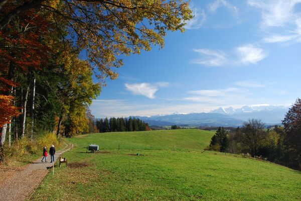
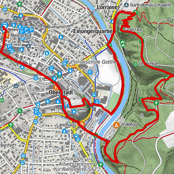
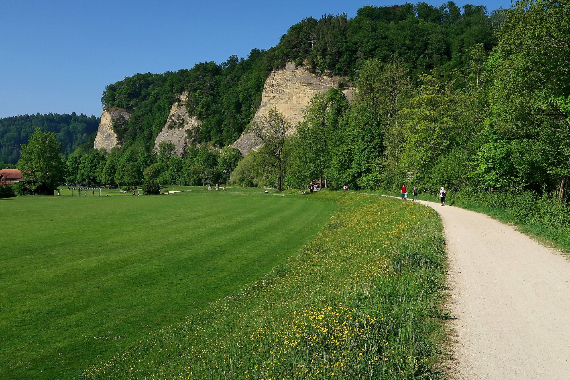
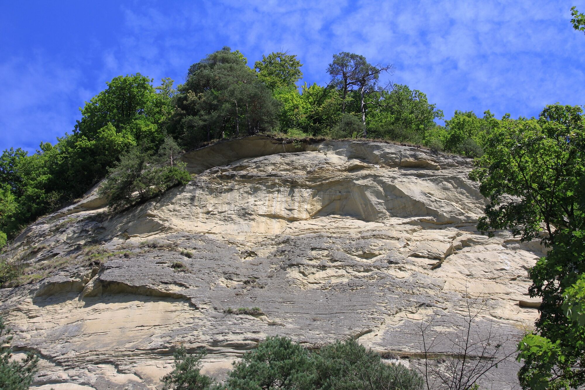
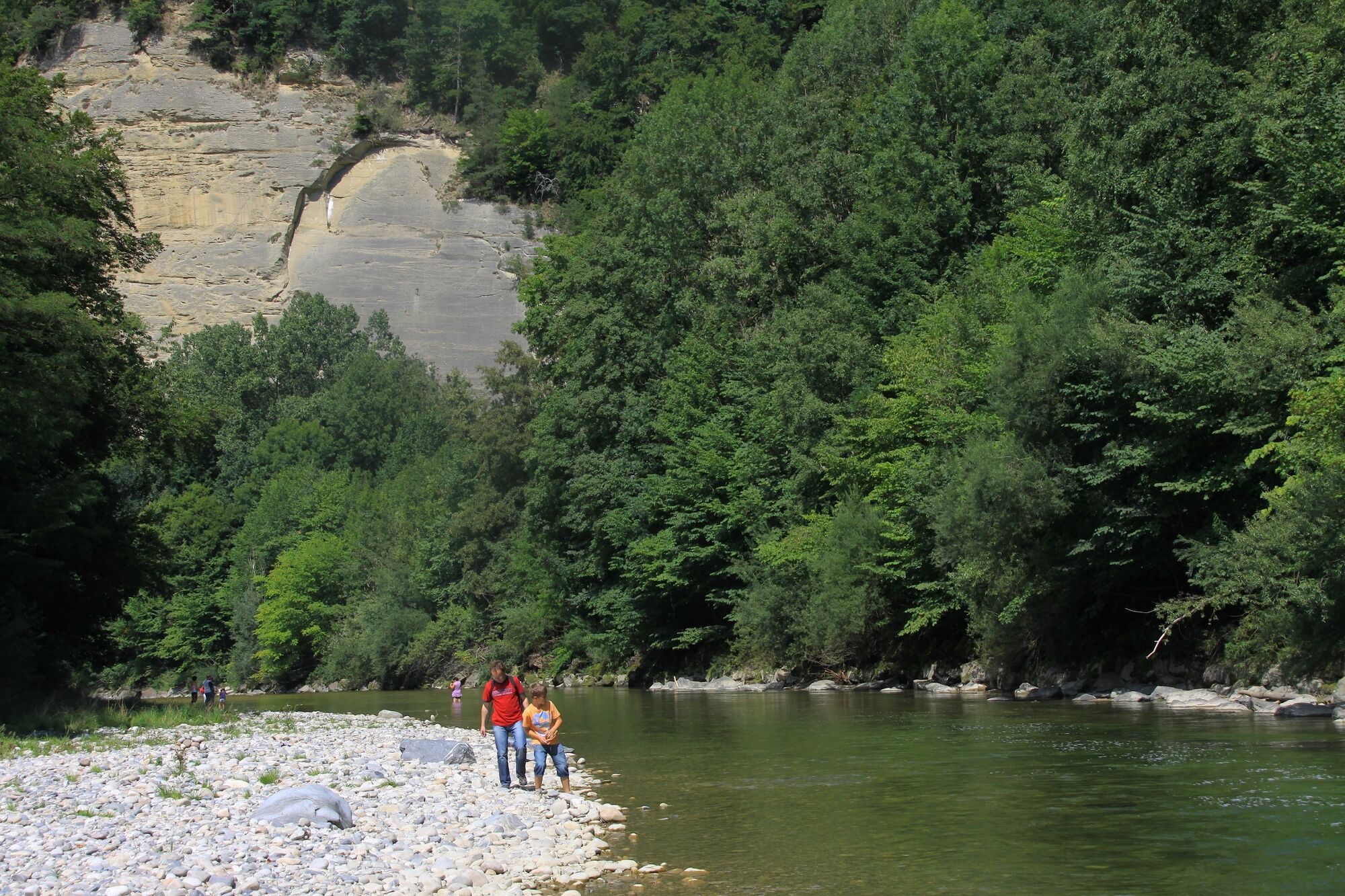
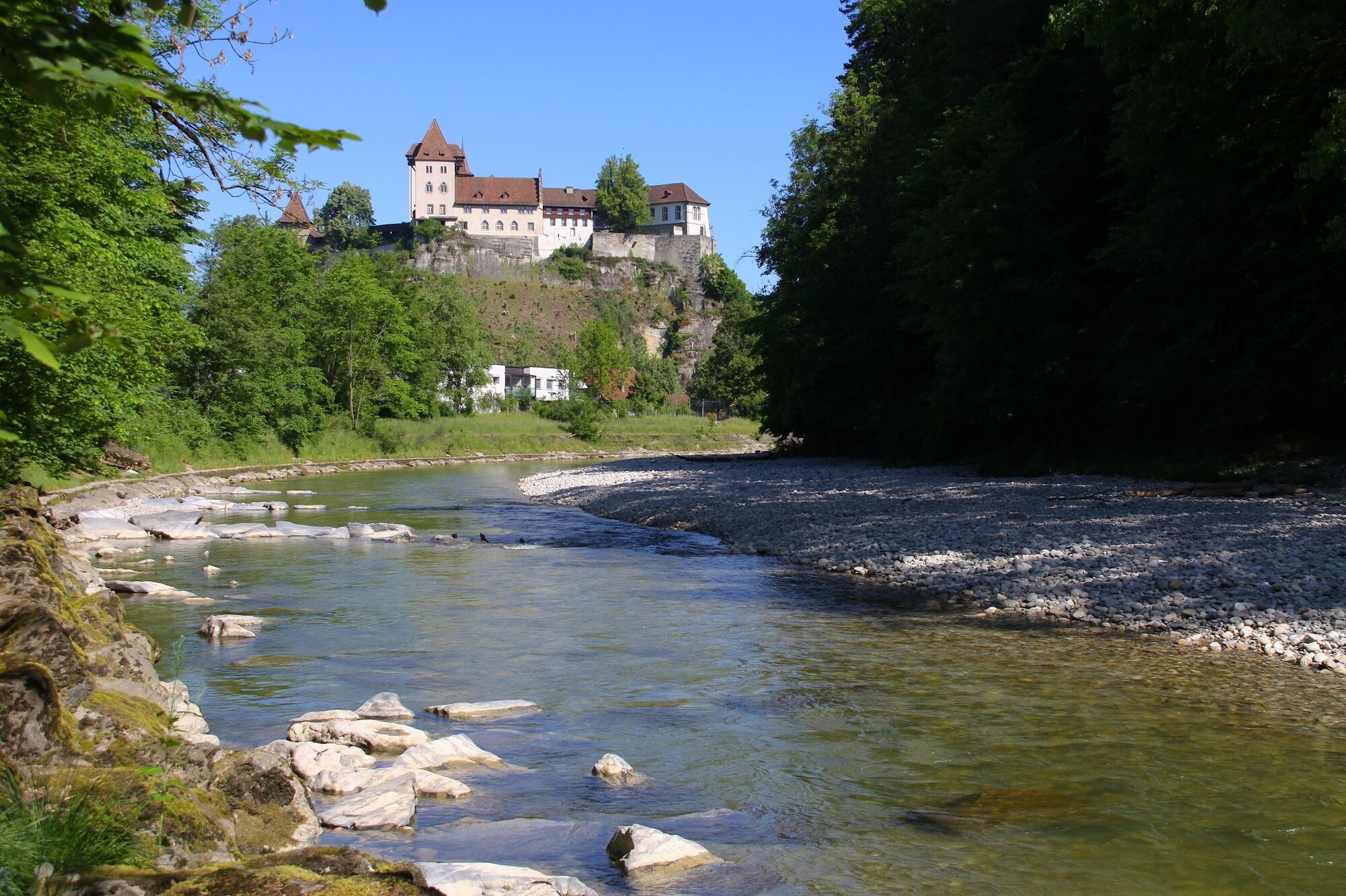
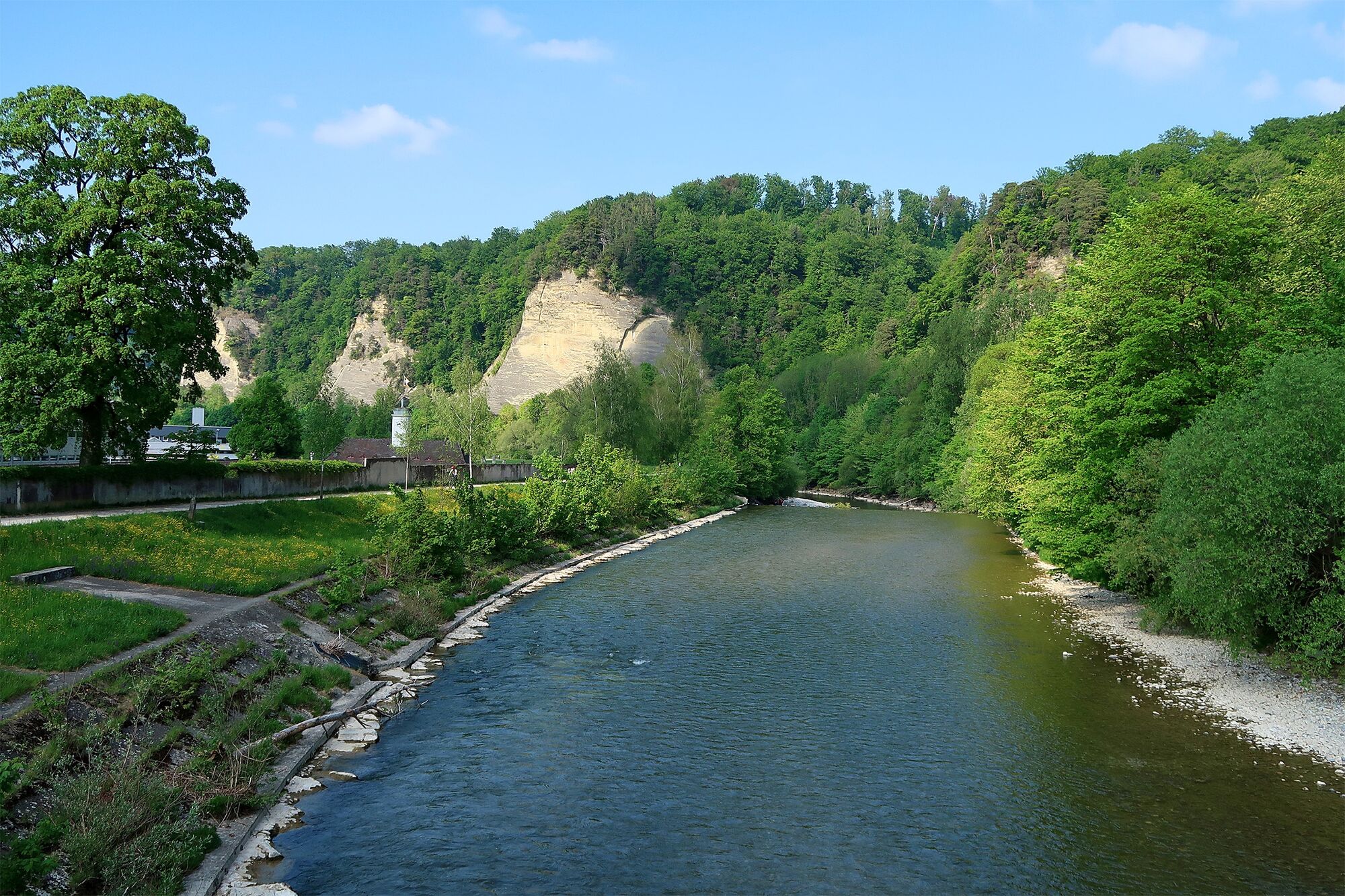
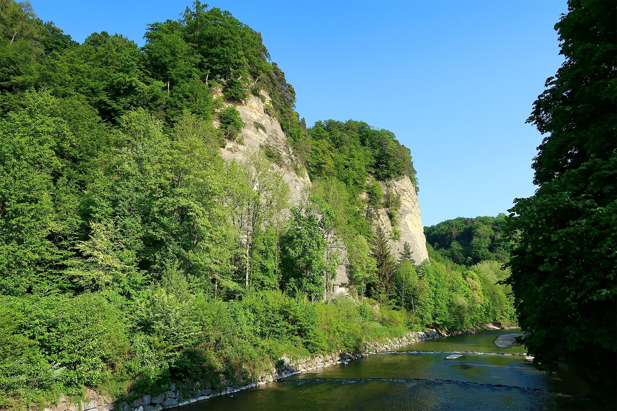
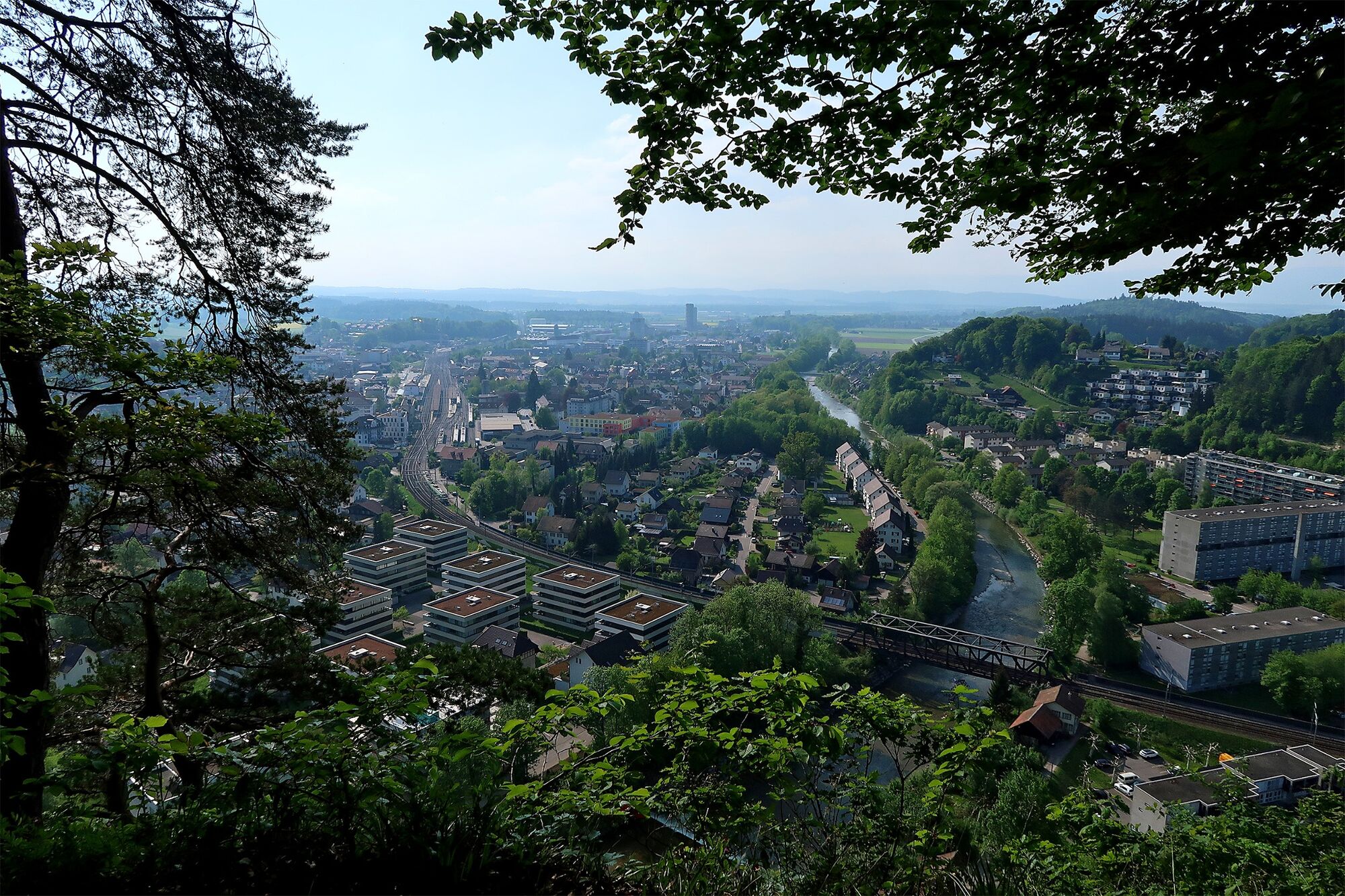
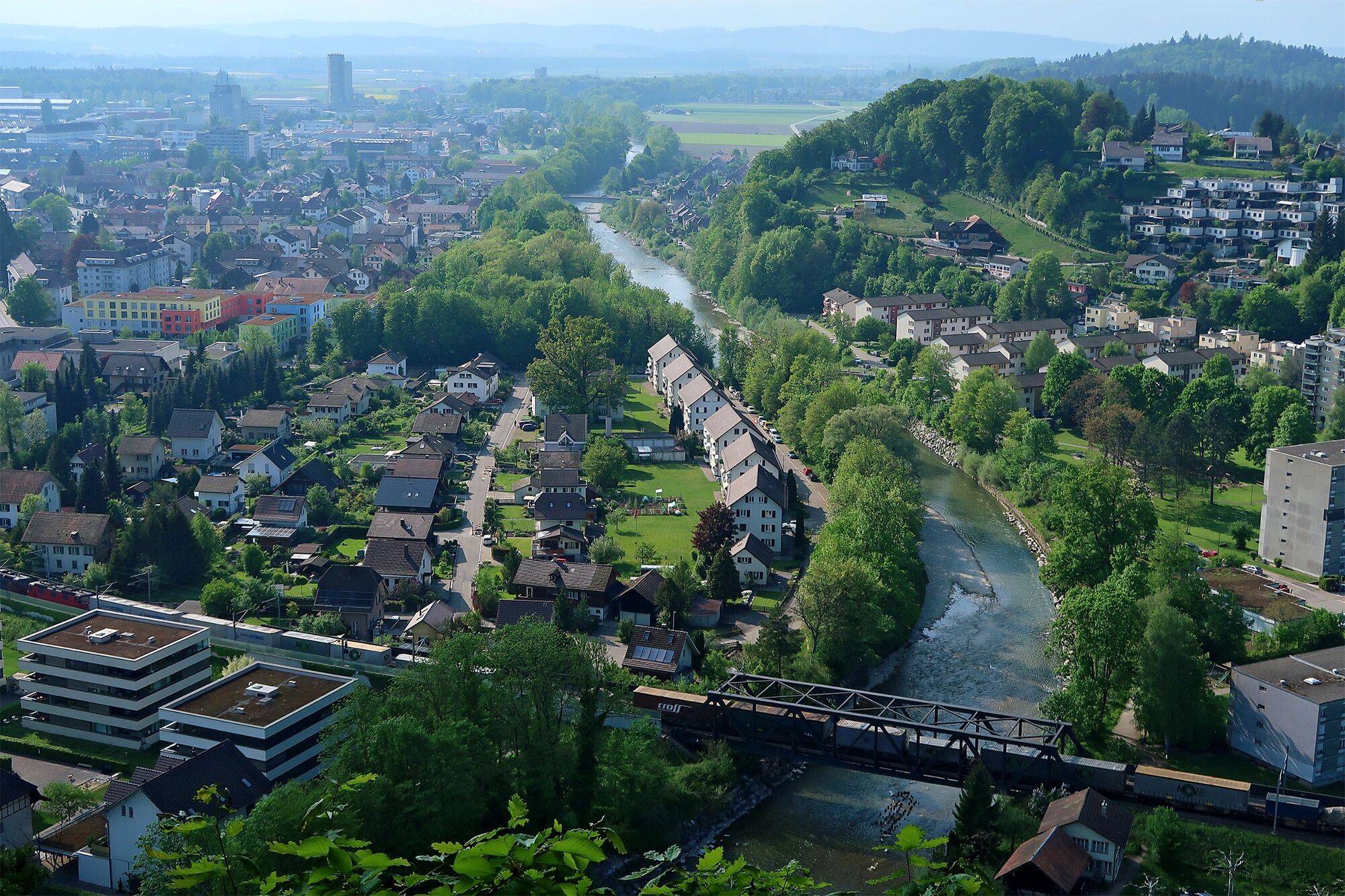
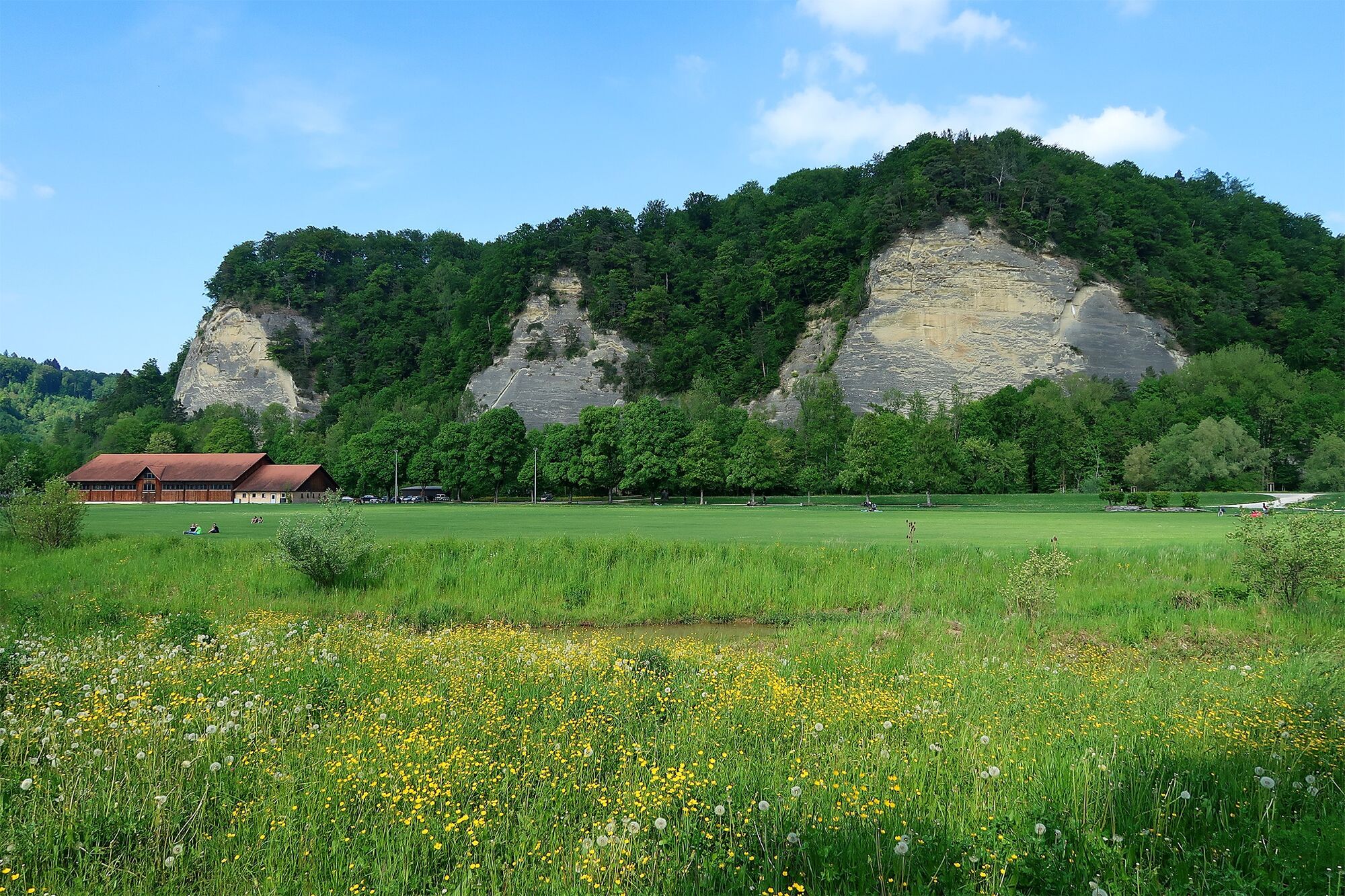
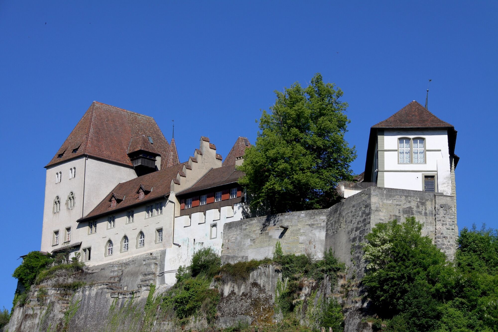
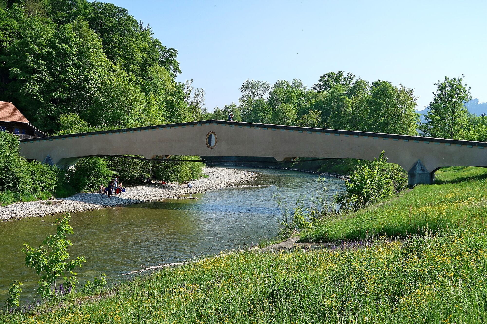
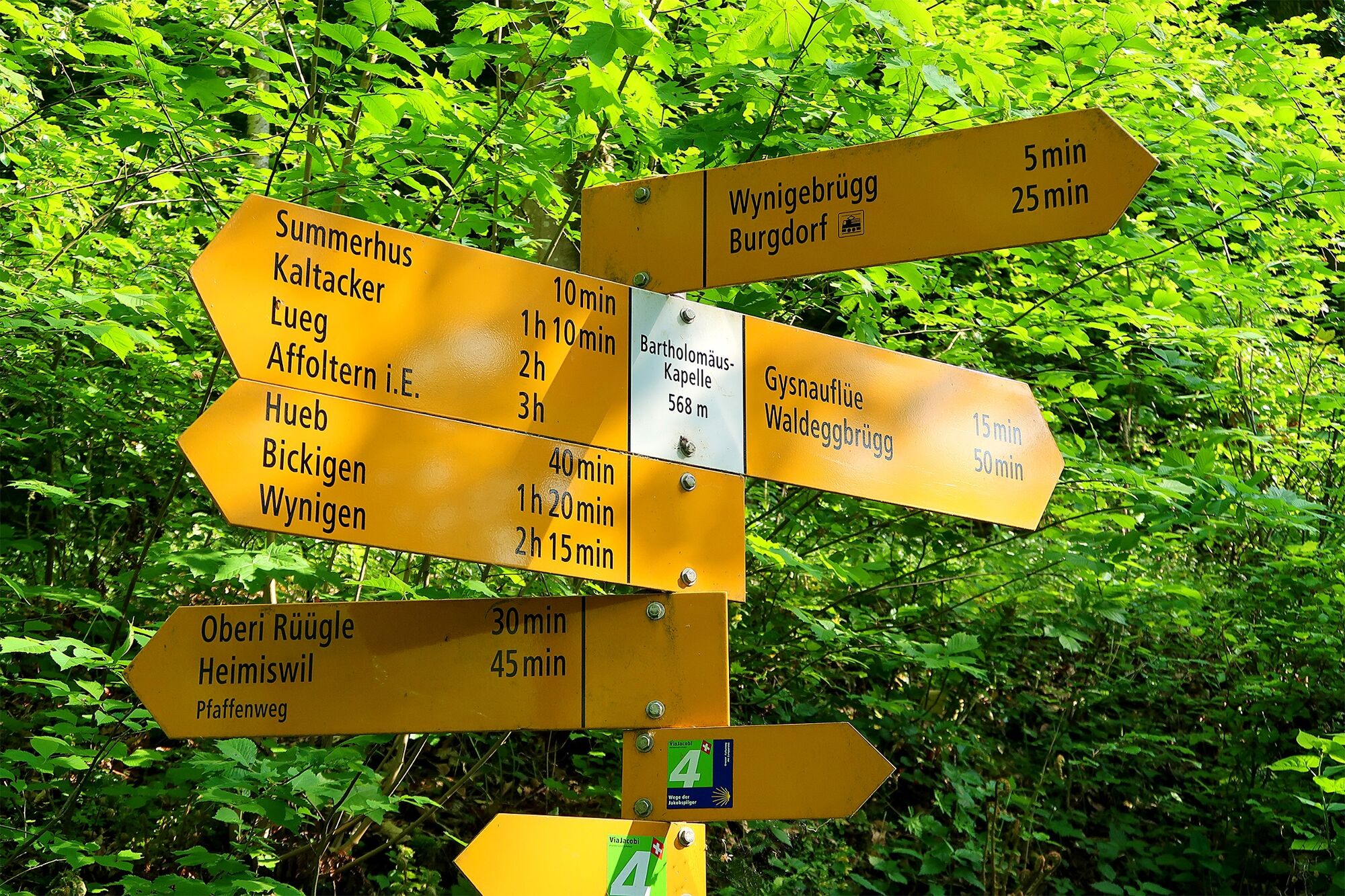
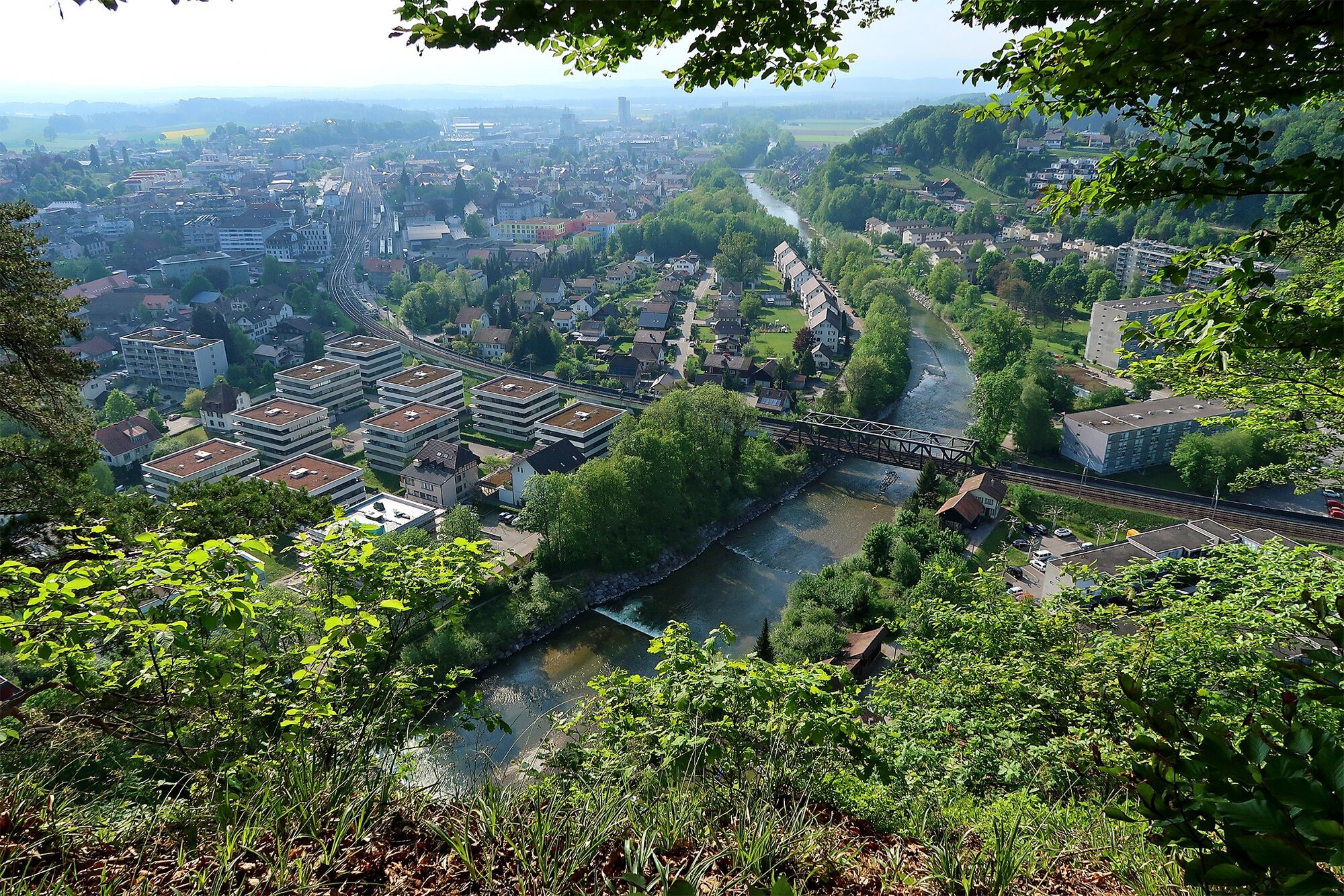
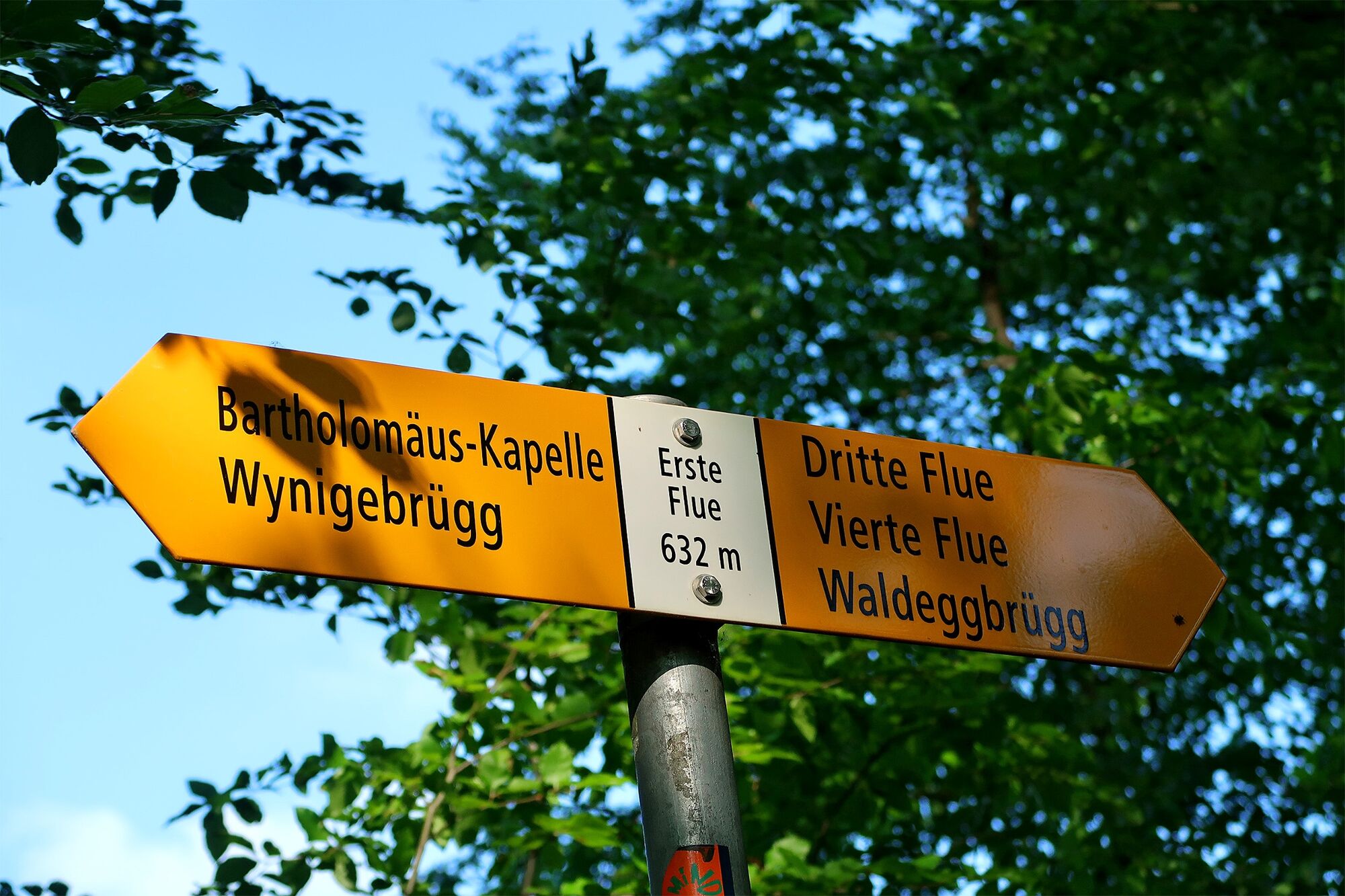
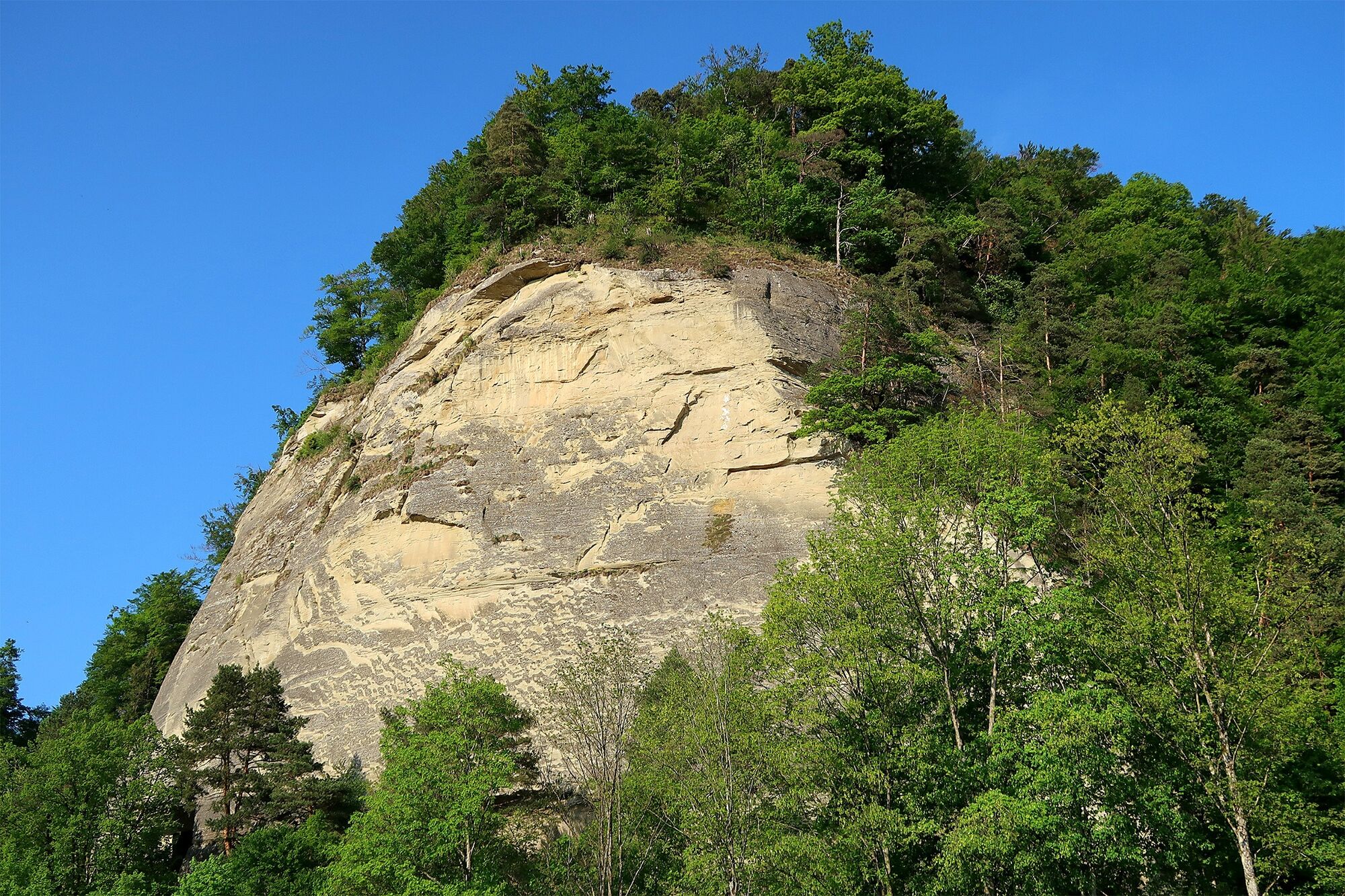
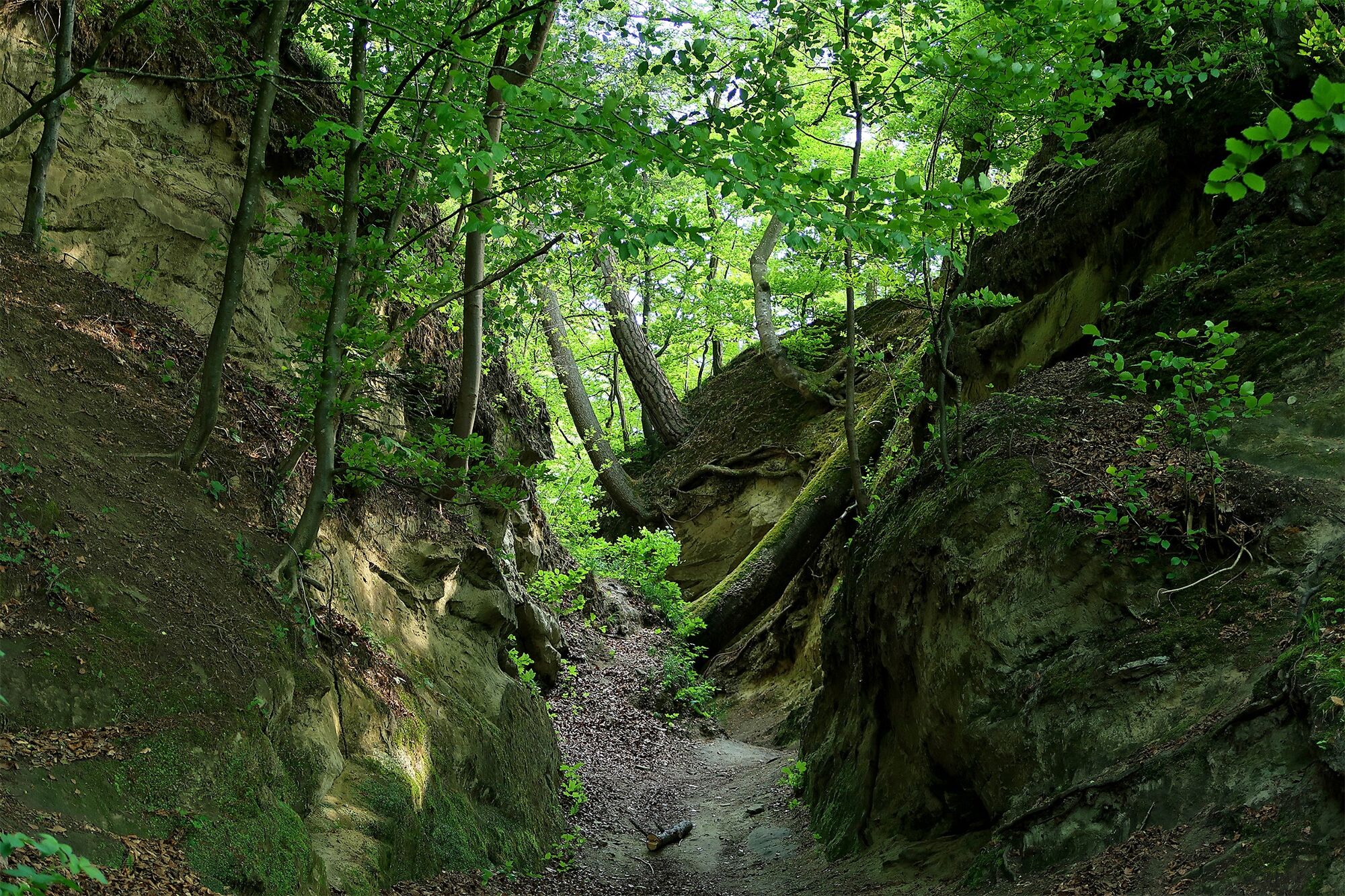
An interesting family walk that takes you high above Burgdorf, through the forest, and over the striking sandstone rocks of the Gysnauflühe. Afterwards, you may still have time to visit the castle or, depending on the season, for swimming in the river Emme.
- Sværhedsgrad
-
let
- Evaluering
-
- Rute
-
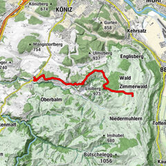
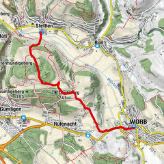
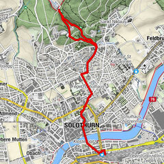
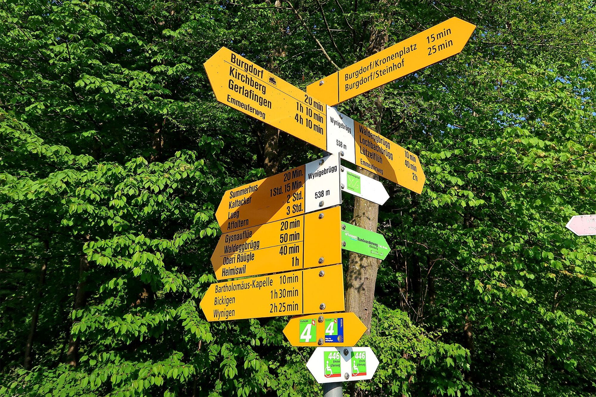
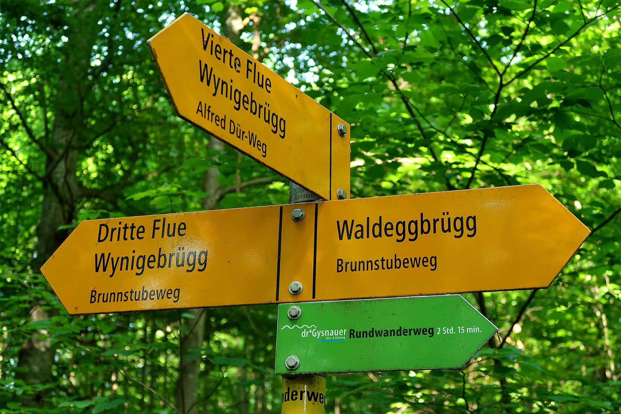
Burgdorf (533 m)Berthoud (557 m)0,5 kmVierte Flue2,3 kmErste Flue3,4 kmSiecheschache3,9 kmLorraine3,9 kmEinungerquartier4,1 kmOberstadt5,1 kmBurgdorf (533 m)6,0 km
- Bedste sæson
-
janfebmaraprmajjunjulaugsepoktnovdec
- Højeste punkt
- 647 m
- Destination
-
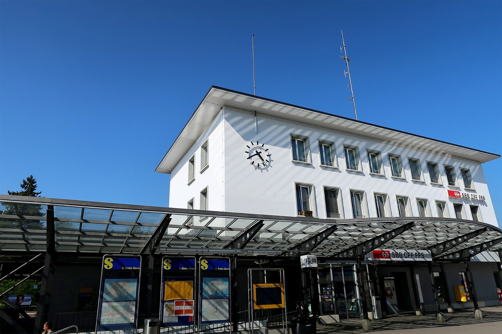
Burgdorf, train station
- Højdeprofil
-
 © outdooractive.com

-

-
ForfatterRundvisningen Flüeweg Burgdorf bruges af outdooractive.com forudsat.
Alle anmeldelser
Hervé Joly
02. Mar. 2024
Randonnée bruyante
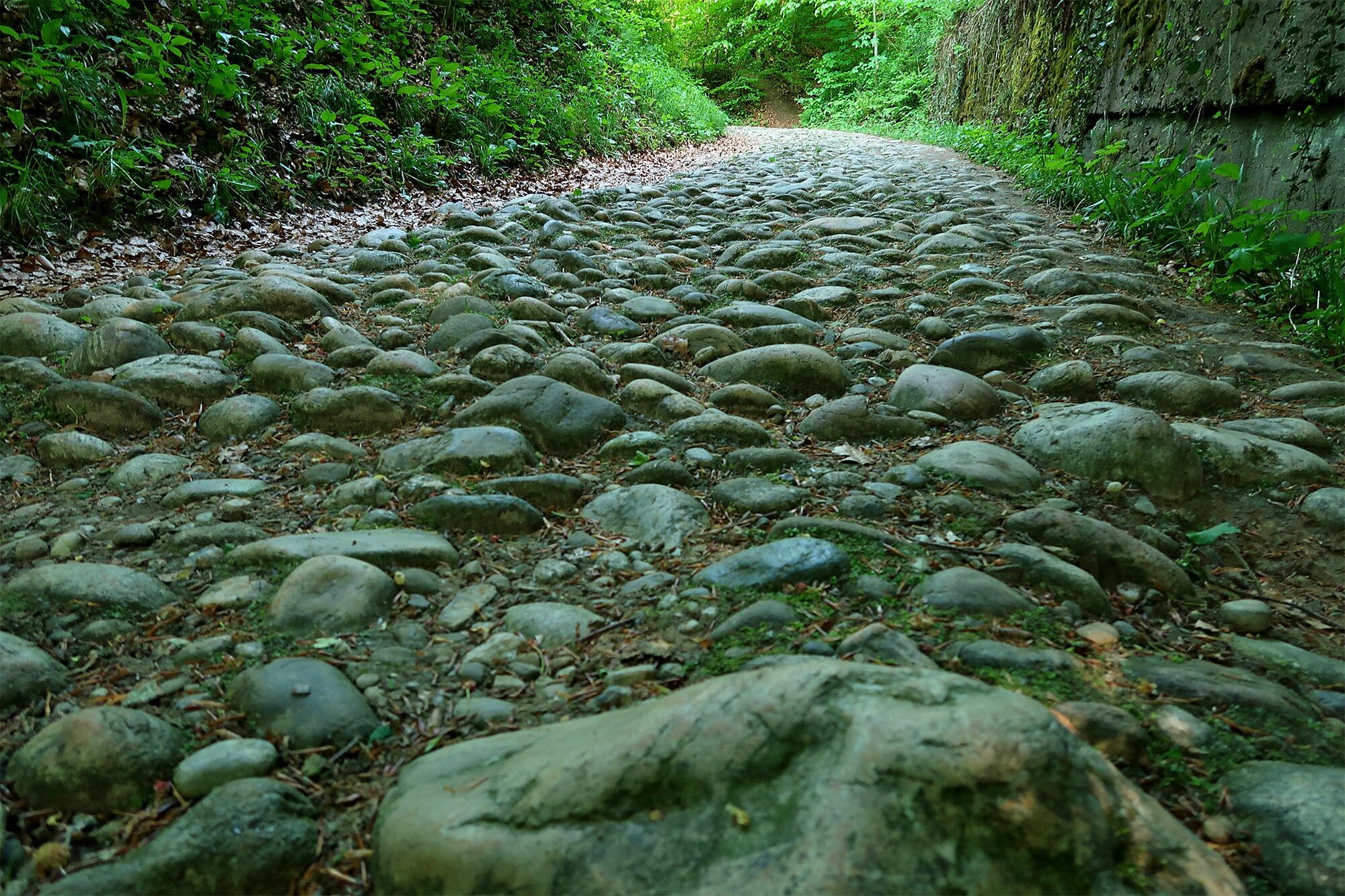
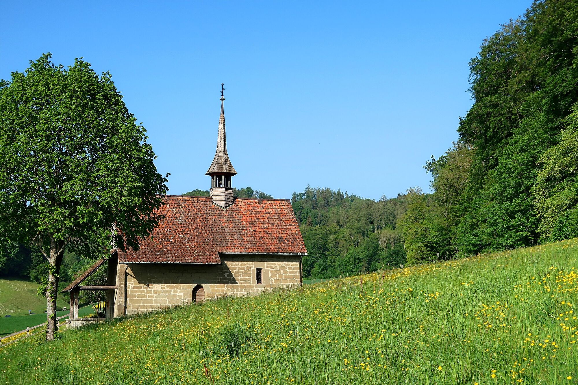
En grande partie en forêt avec quelques points de vue sur la ville mais ceux-ci sont fortement bouchés par la végétation (même début mars). Secteur forestier bruyant à cause du trafic. Les secteurs les plus intéressants sont la chapelle, la 100ène de mètre du chemin en pierre ronde, la vieille ville et les cheminées de gypse visible depuis la rivière.
GPS Downloads


Generel information
Forfriskningsstop
Kulturel/Historisk
Flora
Fauna
Lovende
Flere ture i regionerne
-
Solothurn und Region
1454
-
Wasseramt
677
-
Burgdorf
102