© Jungfrau.ch

© Jungfrau.ch

- Kort beskrivelse
-
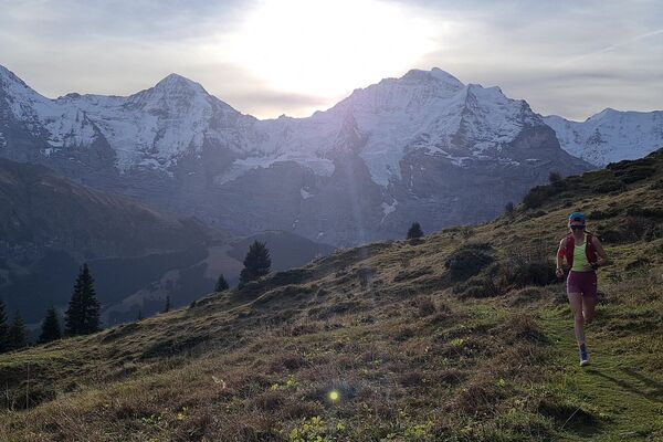
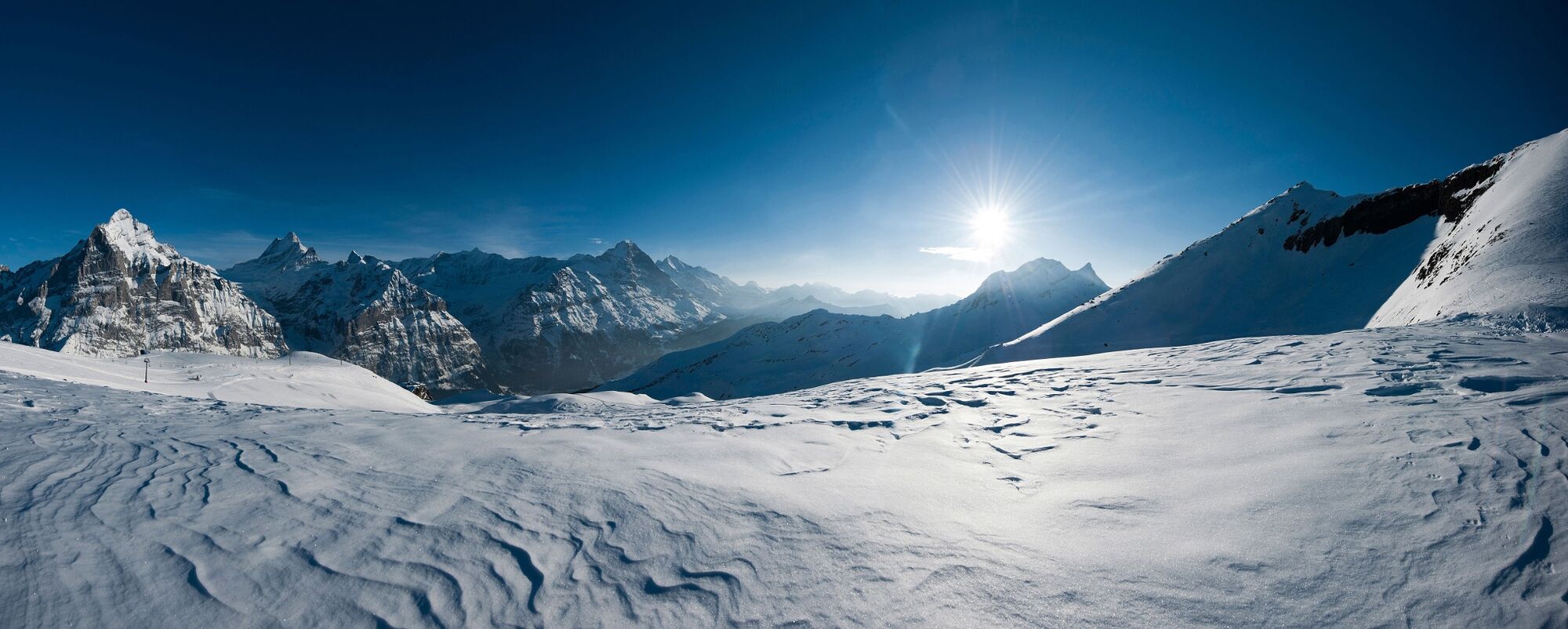
Multifaceted winter trail that entices hikers with 1,300 metres of elevation, countless places to stop for refreshment and a magnificent view of the Eiger, Schreckhorn and Wetterhorn.
- Sværhedsgrad
-
medium
- Evaluering
-
- Rute
-
Grindelwald0,1 kmMilchbach1,9 kmBergrestaurant Bort5,4 kmChuestall5,5 kmBort (1.564 m)5,6 kmNodhalten7,7 kmBerggasthaus Waldspitz10,1 kmBachlägerwasserfall10,9 kmFirst14,7 km
- Bedste sæson
-
janfebmaraprmajjunjulaugsepoktnovdec
- Højeste punkt
- 2.272 m
- Destination
-
First summit station (2168 asl)
- Højdeprofil
-
 © outdooractive.com

- Forfatter
-
Rundvisningen Winter Uphill Trail to the First W2 bruges af outdooractive.com forudsat.
GPS Downloads


Generel information
Forfriskningsstop
Lovende
Flere ture i regionerne
-
Obwalden
66
-
Jungfrau Region
54
-
Grindelwald - First
40